Parking
Small lot at the end of Enderts Beach Road, about three miles south of Crescent City. The section ends at Highway 101 mile marker 15.6; arrange a pickup there or retrace the route to the lot.

Redwood National Park, CA
Coastal views, steep switchbacks, then quiet old-growth redwoods.
Overview
Map & elevation
Plan your hike

The highest, rockiest slopes around here are a summer buffet for grizzly bears.
Redwood Tour Guide
Parkwolf is a GPS audio tour guide for Redwood National Park. As you drive, it chimes in with what’s ahead: hidden gems, upcoming stops, history, geology, and wildlife, right through your car’s speakers.
See the Redwood audio tourRecorded for this trailhead
Crescent Beach Overlook and Enderts Beach“You're coming up on Crescent Beach Overlook, a quick stop for the curve of sand, Crescent City's harbor, and offshore sea stacks.”
Plays as you drive up to this trailhead in the Parkwolf Redwood Tour Guide.
More stories near here in the app
“Fantastic app with many points of information… It’s great to just turn on while you’re driving and it gives you an audio tour of the national Park. We love it!!!!”


Trail guide
Last Chance is a strenuous, roughly 6¾-mile point-to-point section of the California Coastal Trail, from Enderts Beach Road to the Highway 101 access near Damnation Creek. You get ocean views first and a redwood-forest finish. Plan about four to five hours one way. The park lists six miles; the more detailed route to the highway access measures about 6¾, so use the longer figure for planning.
The trail follows an old highway grade above the coast at first, with ocean views and a short spur to Enderts Beach in the first half-mile. The beach is an optional side trip; check the tide before going down to the pools. After Nickel Creek, the route climbs steeply through long switchbacks, gaining about 900 feet in 1¼ miles. Alder and blackberry can crowd the tread in summer and partly screen the water.
After the climb, the route eases along a ridge before dropping into old-growth forest. The canopy gets darker and cooler, and the tread becomes easier to follow. Near the southern end, a footbridge crosses Damnation Creek beside some of the biggest trees on the route. The trail also follows pieces of the old Coast Highway, which served as Highway 101 from 1920 to 1934; bits of pavement and the white center stripe remain. A redwood described as about 14 feet across stands near the last stretch.
Start at the small lot at the end of Enderts Beach Road, about three miles south of Crescent City. The mapped route ends at Highway 101 mile marker 15.6, so arrange a pickup there or turn around and retrace the trail. Walking back makes this about a 13½-mile day. This is a worthwhile choice if you want both coast and old-growth forest in one hard hike; choose the short Enderts Beach walk if you only want a brief coastal outing. Dogs aren't allowed on park trails.
This section has strenuous grades and sustained switchbacks. Landslides have repeatedly affected the route, so check the park's current trail status before setting out. The route is also open to bicycles, but the beach spur is not.
Wildlife
 256 sightingsBlack BearMost seen around 7 PMSighting map
 2,389 sightingsElkMost seen around 6 PMSighting map
 62 sightingsCalifornia CondorMost seen around 1 PMSighting map
 60 sightingsCalifornia Sea LionMost seen around 11 AMSighting map
 216 sightingsHarbor SealMost seen around 10 AMSighting map
 13 sightingsMountain LionMost seen around 7 PMSighting map
Sighting maps show where each species has been reported across Redwood. Wildlife moves, so no sighting is guaranteed.
Keep exploring
 ChallengingCalifornia Coastal Trail: Last Chance to Skunk Cabbage47.4 mi · 1 day · At the trailheadA 47-mile coast-to-redwoods traverse through beaches, prairie and forest.
 ModerateEnderts Beach Trail1.2 mi · 1 hr · At the trailheadA short cliffside descent to a rocky tidepool beach.
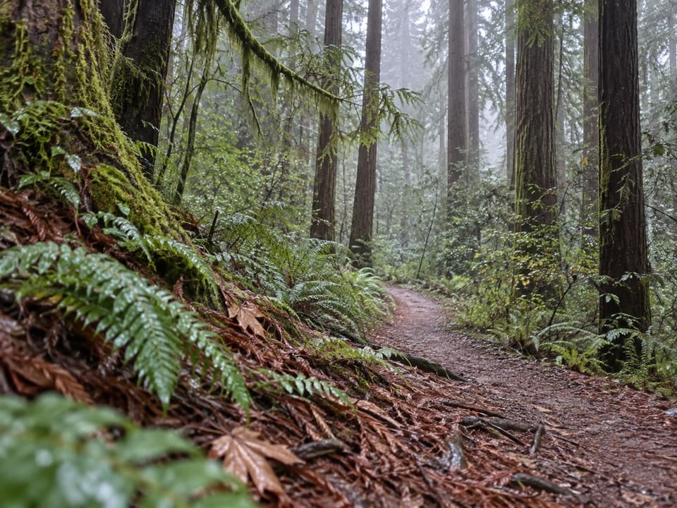 ModerateRellim Ridge Trail4.3 mi · 2.8 hr · 1.3 mi awayA steep forest climb rewards occasional views over Crescent City Harbor.
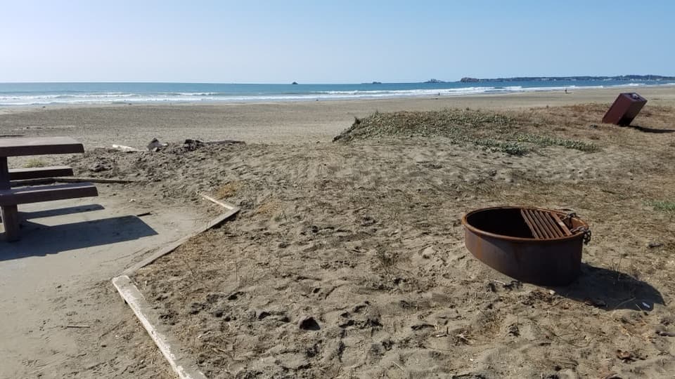 EasyCoastal Trail: Crescent Beach Section4 mi · 1.8 hr · 1.5 mi awayA flat shoreline walk for beachcombing and spotting elk.
 ModerateHobbs-Wall Trail3.8 mi · 2 hr · 1.9 mi awayA wall of redwood trunks on a hilly forest loop.
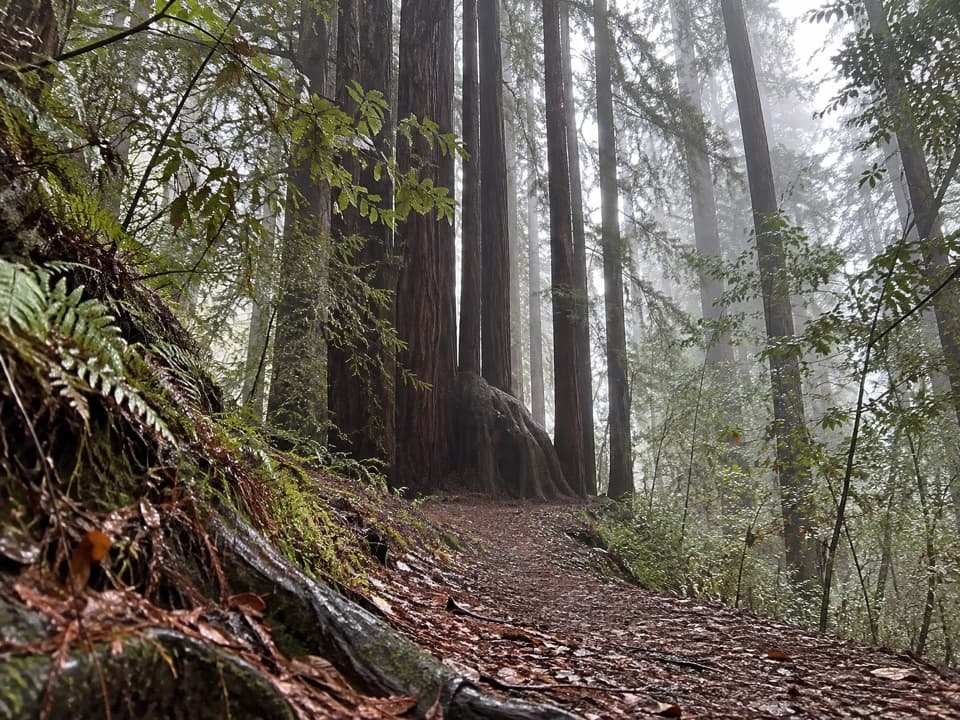 ModerateAlder Basin Trail0.6 mi · 30 min · 2.2 mi awayA short, steep climb through ferny second-growth redwoods
 EasyTrestle Loop Trail1.3 mi · 54 min · 2.4 mi awayA short railroad loop beside Mill Creek.
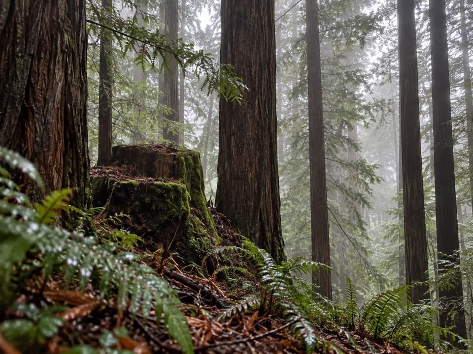 ModerateSaddler Skyline Trail1.5 mi · 1 hr · 2.5 mi awayA short climb through young redwoods and berry thickets.
 Sight · 0.1 mi awayCrescent Beach OverlookA brief deck stop for Crescent City's beaches and harbor.
 Beach · 0.5 mi awayEnderts BeachLow-tide pools beneath coastal cliffs, reached by a steep beach trail.
 Beach · 1.6 mi awayCrescent Beach Day Use AreaA picnic, a long sandy walk and the Pacific all start here.
 Campground · 2.4 mi awayMill Creek CampgroundA creekside campground with woods and walks beyond your campsite.
 Sight · 3 mi awayMill Creek Day Use AreaA road walk through redwood restoration in the Mill Creek watershed.
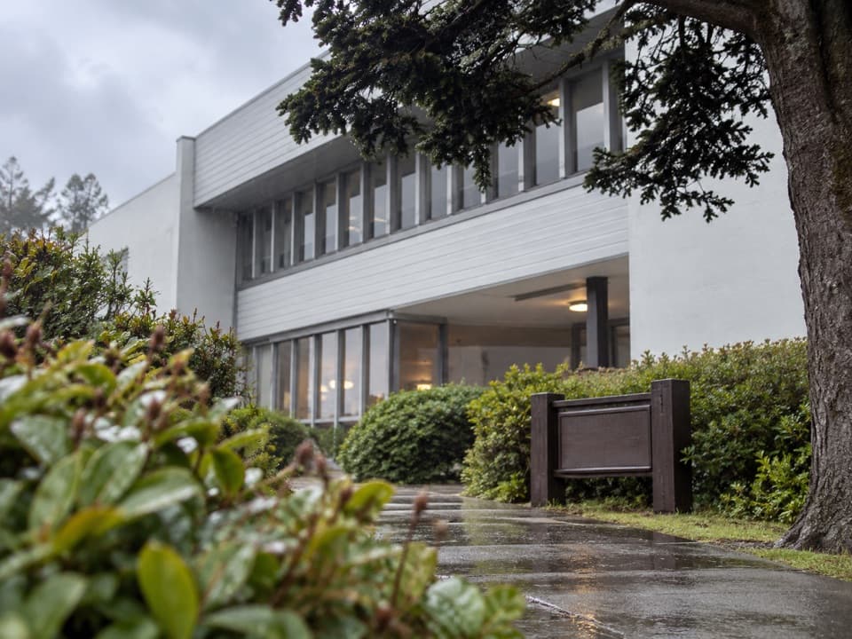 Visitor center · 4.2 mi awayCrescent City Information CenterMaps, exhibits and park advice at the headquarters in Crescent City.
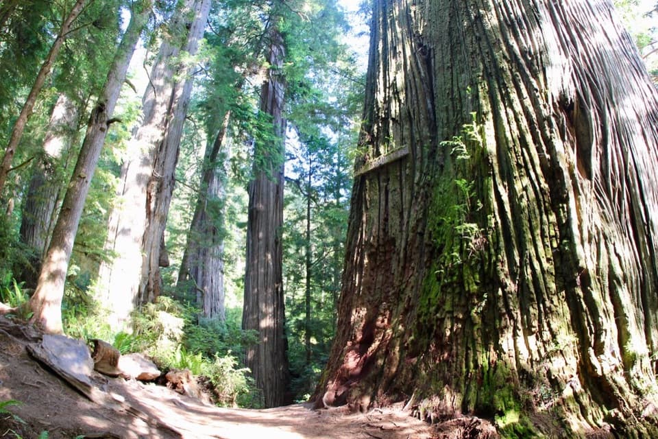 Sight · 5.3 mi awayBoy Scout TreeA double redwood landmark beyond 2.5 miles of forest trail.
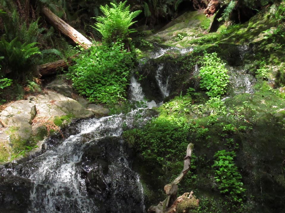 Sight · 5.4 mi awayFern FallsA small cascade caps a half-day walk through old-growth redwoods.
Parkwolf’s Redwood ranking

The audio tour guide for the drive, plus offline maps, trails, and wildlife heatmaps for when the signal drops.





