Parking
Park at the south end of Enderts Beach Road by Crescent Beach Overlook. Parking is limited; RVs and trailers are not advised. Restrooms and trail information are at the lot, with no facilities at the beach.

Redwood National Park, CA
A short cliffside descent to a rocky tidepool beach.
Overview
Map & elevation
Plan your hike

The highest, rockiest slopes around here are a summer buffet for grizzly bears.
Redwood Tour Guide
Parkwolf is a GPS audio tour guide for Redwood National Park. As you drive, it chimes in with what’s ahead: hidden gems, upcoming stops, history, geology, and wildlife, right through your car’s speakers.
See the Redwood audio tourRecorded for this trailhead
Crescent Beach Overlook and Enderts Beach“You're coming up on Crescent Beach Overlook, a quick stop for the curve of sand, Crescent City's harbor, and offshore sea stacks.”
Plays as you drive up to this trailhead in the Parkwolf Redwood Tour Guide.
More stories near here in the app
“Fantastic app with many points of information… It’s great to just turn on while you’re driving and it gives you an audio tour of the national Park. We love it!!!!”


Trail guide
Enderts Beach Trail is a 1.2-mile out-and-back from the south end of Enderts Beach Road, following the Coastal Trail to a signed spur and a rocky beach. The listed distance is 0.6 mile each way. It is a good pick if you want an ocean walk rather than another redwood loop; allow about an hour for the hike and extra time to explore the shore.
The approach follows coastal bluffs along the bed of the old Redwood Highway, moved inland to the present US 101 after erosion and slides. After about a third of a mile, take the signed right-hand spur before the Coastal Trail crosses Nickel Creek. Two wayside panels explain coastal vegetation and tidepool life. The spur drops roughly 200 feet to the ocean, so the short distance still means a noticeable climb on the way back. The route also passes the former Nickel Creek Campground, a popular backcountry camp closed after a 2017 landslide; little remains at the site.
At low tide, rocky pools are easier to explore, so check the tide before setting out if that is the point of the visit. Nickel Creek reaches the ocean beside a large rock at the beach. The last access to the sand crosses slippery rock and passes beneath a small arch; use care and leave time to get back before the tide rises. For a photo, put the arch or dark shore rocks in the foreground with the sea stacks and surf beyond them.
Park at the southern end of Enderts Beach Road, near Crescent Beach Overlook. Parking is limited, and RVs and trailers are not advised. Restrooms and information are at the parking area; there are no facilities on the beach. Rockfall can affect or close the cliffside approach, so check park conditions before you go. The beach is unsafe for swimming because of cold water, strong currents and sneaker waves; keep back from the surf even at low tide. Dogs are not allowed on this trail.
Wildlife
 256 sightingsBlack BearMost seen around 7 PMSighting map
 2,389 sightingsElkMost seen around 6 PMSighting map
 62 sightingsCalifornia CondorMost seen around 1 PMSighting map
 60 sightingsCalifornia Sea LionMost seen around 11 AMSighting map
 216 sightingsHarbor SealMost seen around 10 AMSighting map
 13 sightingsMountain LionMost seen around 7 PMSighting map
Sighting maps show where each species has been reported across Redwood. Wildlife moves, so no sighting is guaranteed.
Keep exploring
 ChallengingCoastal Trail: Last Chance Section6.8 mi · 4.5 hr · At the trailheadCoastal views, steep switchbacks, then quiet old-growth redwoods.
 ChallengingCalifornia Coastal Trail: Last Chance to Skunk Cabbage47.4 mi · 1 day · At the trailheadA 47-mile coast-to-redwoods traverse through beaches, prairie and forest.
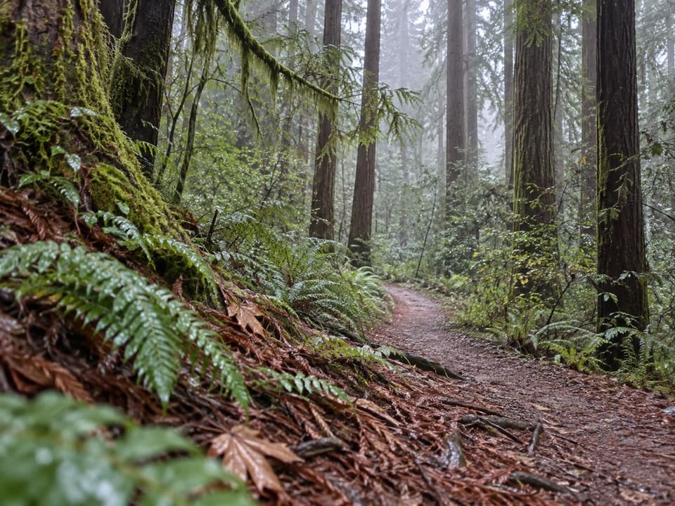 ModerateRellim Ridge Trail4.3 mi · 2.8 hr · 1.3 mi awayA steep forest climb rewards occasional views over Crescent City Harbor.
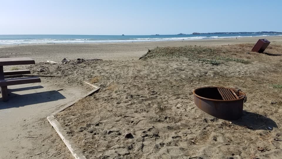 EasyCoastal Trail: Crescent Beach Section4 mi · 1.8 hr · 1.5 mi awayA flat shoreline walk for beachcombing and spotting elk.
 ModerateHobbs-Wall Trail3.8 mi · 2 hr · 1.9 mi awayA wall of redwood trunks on a hilly forest loop.
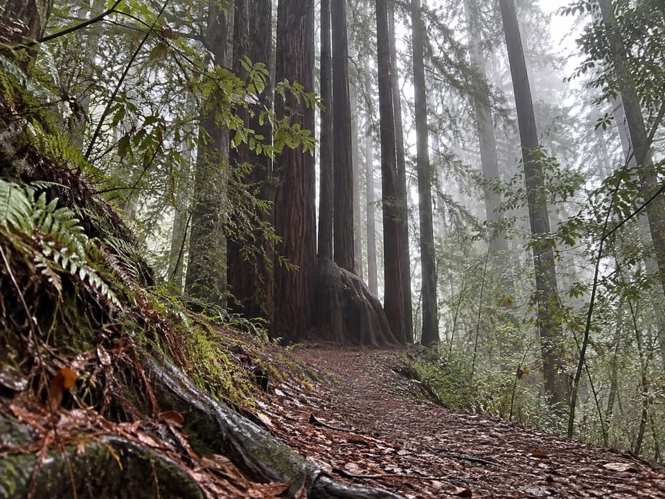 ModerateAlder Basin Trail0.6 mi · 30 min · 2.2 mi awayA short, steep climb through ferny second-growth redwoods
 EasyTrestle Loop Trail1.3 mi · 54 min · 2.4 mi awayA short railroad loop beside Mill Creek.
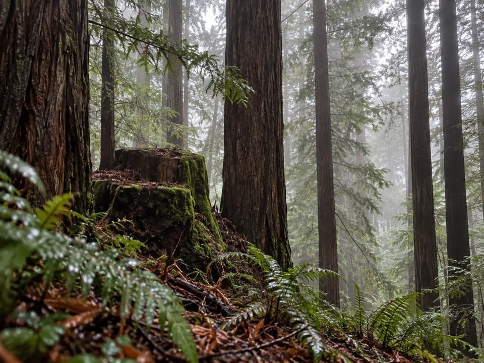 ModerateSaddler Skyline Trail1.5 mi · 1 hr · 2.5 mi awayA short climb through young redwoods and berry thickets.
 Sight · 0.1 mi awayCrescent Beach OverlookA brief deck stop for Crescent City's beaches and harbor.
 Beach · 0.5 mi awayEnderts BeachLow-tide pools beneath coastal cliffs, reached by a steep beach trail.
 Beach · 1.6 mi awayCrescent Beach Day Use AreaA picnic, a long sandy walk and the Pacific all start here.
 Campground · 2.4 mi awayMill Creek CampgroundA creekside campground with woods and walks beyond your campsite.
 Sight · 3 mi awayMill Creek Day Use AreaA road walk through redwood restoration in the Mill Creek watershed.
 Visitor center · 4.2 mi awayCrescent City Information CenterMaps, exhibits and park advice at the headquarters in Crescent City.
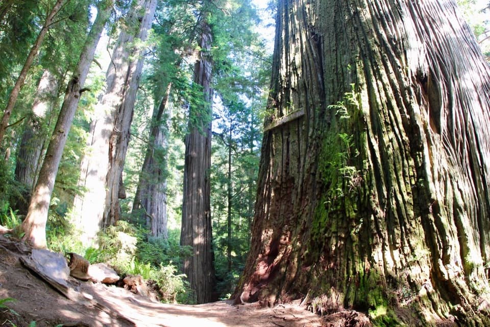 Sight · 5.3 mi awayBoy Scout TreeA double redwood landmark beyond 2.5 miles of forest trail.
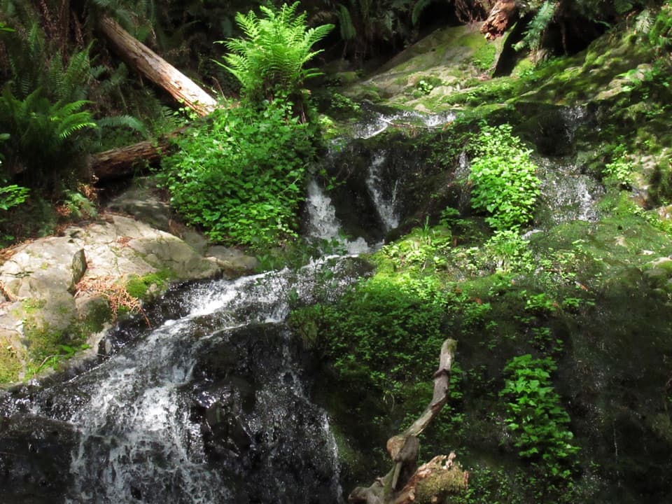 Sight · 5.4 mi awayFern FallsA small cascade caps a half-day walk through old-growth redwoods.
Parkwolf’s Redwood ranking

The audio tour guide for the drive, plus offline maps, trails, and wildlife heatmaps for when the signal drops.





