Parking
Bowen/Baker Trailhead on Trail Ridge Road, 6.4 miles north of Rocky Mountain National Park’s west entrance. RMNP admission is required. A pit toilet is reported at the lot; capacity and overflow details were not verified.

Rocky Mountain National Park, CO
A long, rugged circuit to Baker Pass and Parika Lake.
Overview
Map & elevation
Plan your hike

The highest, rockiest slopes around here are a summer buffet for grizzly bears.
Rocky Mountain Tour Guide
Parkwolf is a GPS audio tour guide for Rocky Mountain National Park. As you drive, it chimes in with what’s ahead: hidden gems, upcoming stops, history, geology, and wildlife, right through your car’s speakers.
See the Rocky Mountain audio tourRecorded for this trailhead
Bowen-Baker Trailhead: Baker Pass“You're approaching Bowen-Baker Trailhead, where Baker Pass offers a long climb to a wide view across the Never Summer peaks.”
Plays as you drive up to this trailhead in the Parkwolf Rocky Mountain Tour Guide.
More stories near here in the app
“…No cell service for majority of the day but had continuous access to the app - the maps, the tour guide as you drive is amazing. Highly recommend purchasing the subscription.”


Trail guide
Baker Pass–Parika Lake Loop is a 13.5-mile circuit from Bowen/Baker Trailhead through Kawuneeche Valley, up Baker Gulch to Baker Pass, then across high country to Parika Lake and back to the lower gulch. It climbs about 2,625 feet and reaches roughly 11,390 feet; allow 8–10 hours. The first miles are gentle enough to lull you, but the upper route gets rough, boggy and faint. This is a full-day backcountry hike for people ready for altitude, route-finding and long stretches without services.
Cross the Colorado River, follow the gravel access road across Kawuneeche Valley, and turn onto Baker Gulch where Bowen Gulch continues at the gate. The approach adds roughly four miles each way; the first part is forest and wet meadow, then a boulder field where the view opens toward Peak 12,442. At about 3.4 miles, the trail reaches the Grand Ditch. Follow its service road left for about 100 feet to the footbridge, cross, and pick up Baker Gulch again. A stream crossing soon after is unbridged and can wet your feet during runoff.
Beyond the ditch, Baker Gulch enters intermittent woods and boggy ground, with a faint line that can be hard to follow. Above roughly mile 5.5, trees give way to alpine meadow; cairns lead to Baker Pass around mile 6. Take your time across the wet flats and follow cairns where tread disappears. The pass has a Forest Service signpost and wide views across the Never Summer Range.
The ditch is a piece of irrigation engineering in the middle of this remote valley. Built between 1895 and 1935, it diverts water from the Never Summer Range across La Poudre Pass toward the Cache la Poudre and the eastern plains. The footbridge is a practical crossing, but it also makes the scale of that water project easy to see.
From Baker Pass, follow the southwest line below the divide. At old quartz-mine tailings, the tread can disappear across meadow; the described route crosses about 50 yards to find it again downslope. The traverse stays around 11,250–11,350 feet, where footing is rough and snow can linger into mid-July. At about mile 8.1, a short climb reaches Parika Lake’s east shore, a shallow basin beneath Fairview Mountain, Parika Peak and Peak 12,253. The route descends to Baker Gulch around mile 9.5, then retraces the lower approach. From the east shore, frame a little shoreline against the enclosing cirque to show the lake’s setting.
Bowen/Baker Trailhead is 6.4 miles north of Rocky Mountain National Park’s west entrance along Trail Ridge Road; park admission is required. The trail starts inside RMNP, then enters Never Summer Wilderness and Arapaho National Forest after about 0.75 mile. Dogs are prohibited on the park’s trails, so this is not a dog hike. A pit toilet is reported at the lot, but parking capacity and overflow details were not verified; no food or drinking water was verified on route.
Wildlife
 3,124 sightingsElkMost seen around 6 PMSighting map
 1,601 sightingsMooseMost seen around 7 PMSighting map
 19 sightingsMountain GoatMost seen around 7 AMSighting map
 19 sightingsBald EagleMost seen around 8 AMSighting map
 30 sightingsGolden EagleMost seen around 10 AMSighting map
 270 sightingsBighorn SheepMost seen around 11 AMSighting map
Sighting maps show where each species has been reported across Rocky Mountain. Wildlife moves, so no sighting is guaranteed.
Keep exploring
 ChallengingBaker Pass Trail12.6 mi · 6.8 hr · At the trailheadA high, quiet pass at the end of a long valley climb.
 ChallengingBaker Gulch to Parika Lake11.1 mi · 6.5 hr · At the trailheadA strenuous climb ends at an alpine lake in a deep cirque.
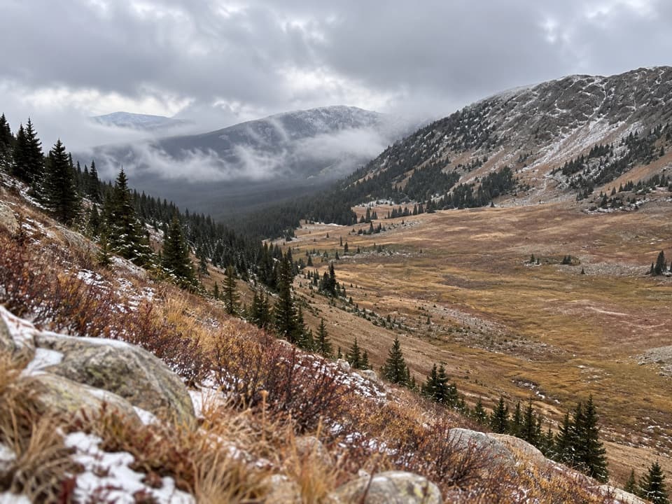 ChallengingBowen Gulch Trail16 mi · 9.5 hr · At the trailheadClimb through old spruce forest to a high wilderness pass.
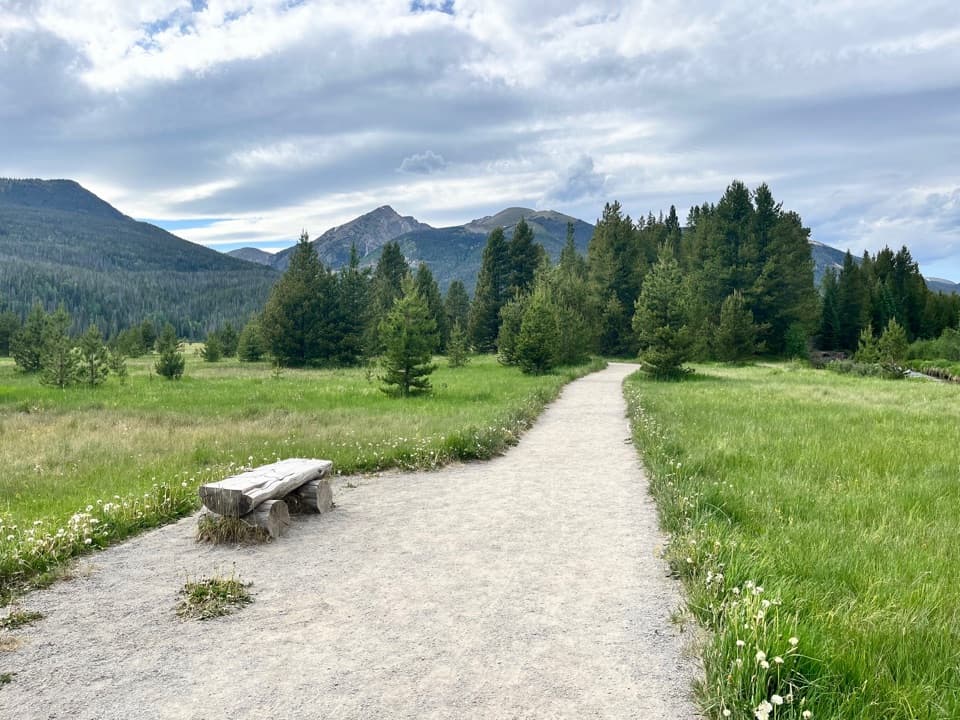 EasyCoyote Valley Nature Trail1 mi · 54 min · 0.7 mi awayA level river walk with open valley views and grazing elk.
 EasyHolzwarth Historic Site Trail0.9 mi · 1 hr · 1.3 mi awayA gentle meadow walk opens onto a century-old ranch complex.
 ModerateOnahu Creek–Long Meadows Trail8.7 mi · 5 hr · 2.8 mi awayA long creek walk ends at a meadow on a faint trail.
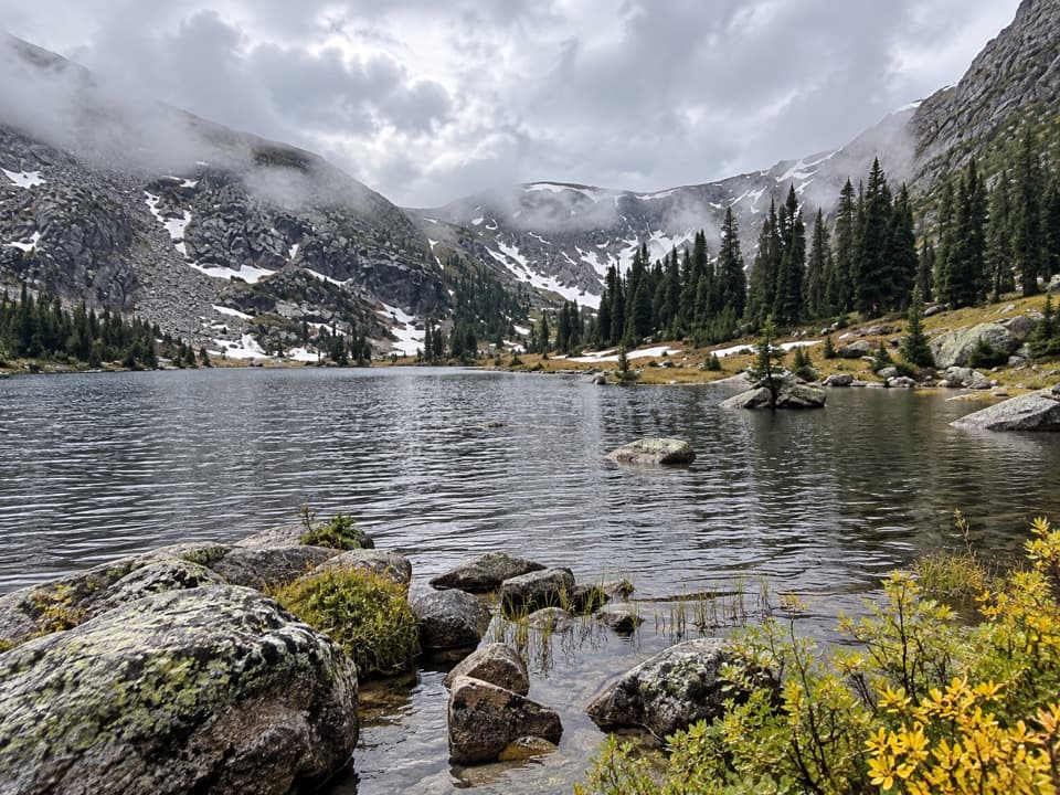 ChallengingTimber Lake Trail9.6 mi · 6.5 hr · 3.2 mi awayA steady forest climb opens into a high lake basin.
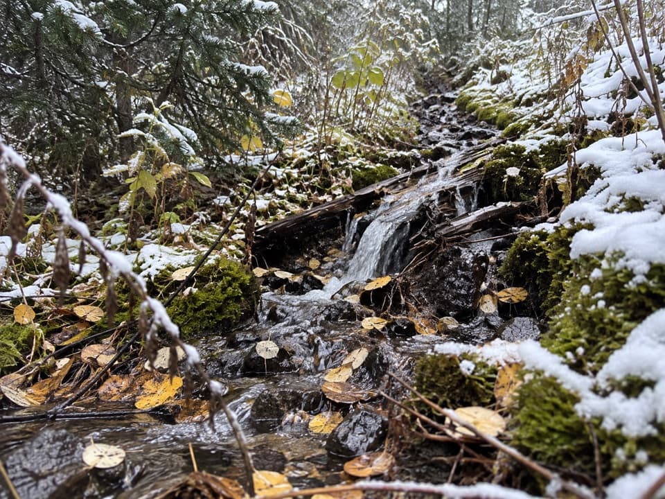 ModerateLittle Yellowstone Canyon Trail10.8 mi · 5.5 hr · 3.3 mi awayRiverside meadows give way to a colorful canyon and a steep climb.
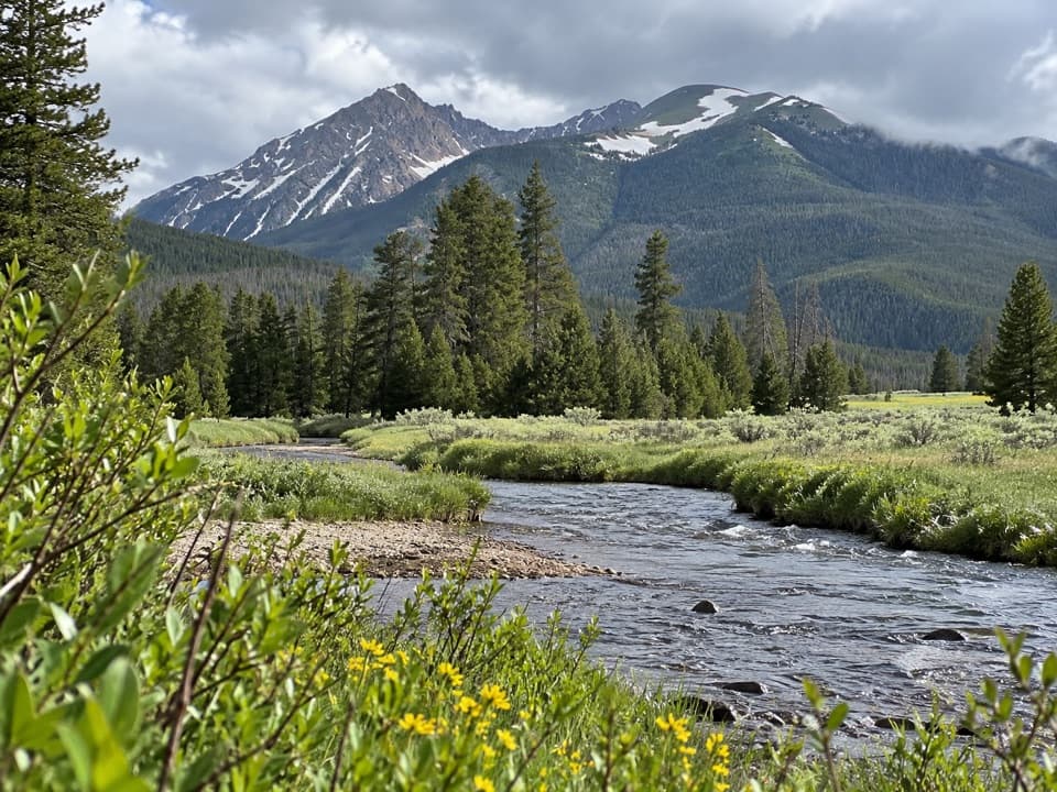 Picnic area · 0.7 mi awayCoyote Valley Picnic AreaA riverside picnic with views of the Never Summer Mountains.
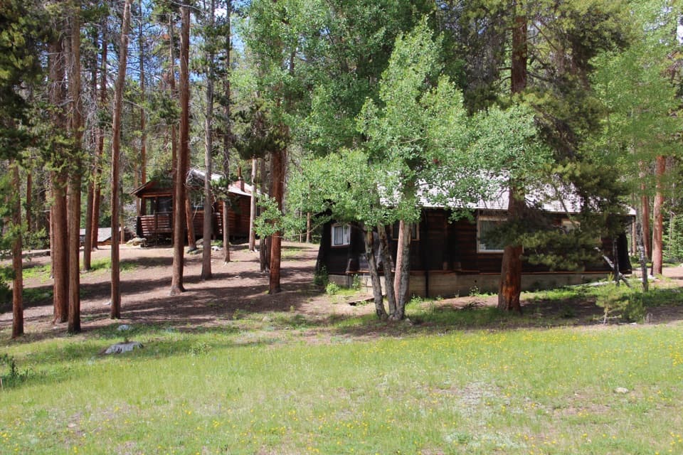 Sight · 1.2 mi awayHolzwarth Historic SiteA mile-long loop through a valley homestead and guest ranch.
 Campground · 1.6 mi awayTimber Creek CampgroundWest-side camping at 8,900 feet, near Grand Lake.
 Picnic area · 2.3 mi awayBeaver Ponds Picnic AreaA picnic beside two ponds, with a stairway down to the water.
 Picnic area · 2.7 mi awayBeaver Creek Picnic AreaA quiet meadow picnic stop with autumn elk viewing.
 Sight · 3.3 mi awayFarview Curve OverlookThe Grand Ditch cuts a pencil line across the Never Summer Range.
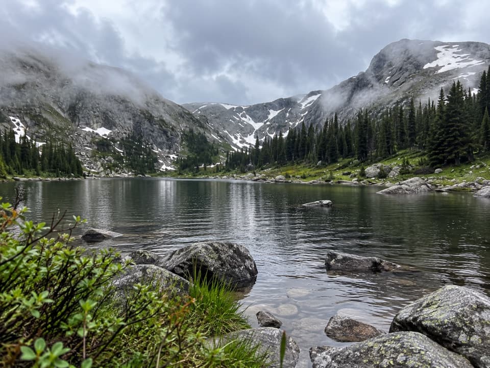 Sight · 3.5 mi awayTimber LakeA steep climb to a lake beneath two high peaks.
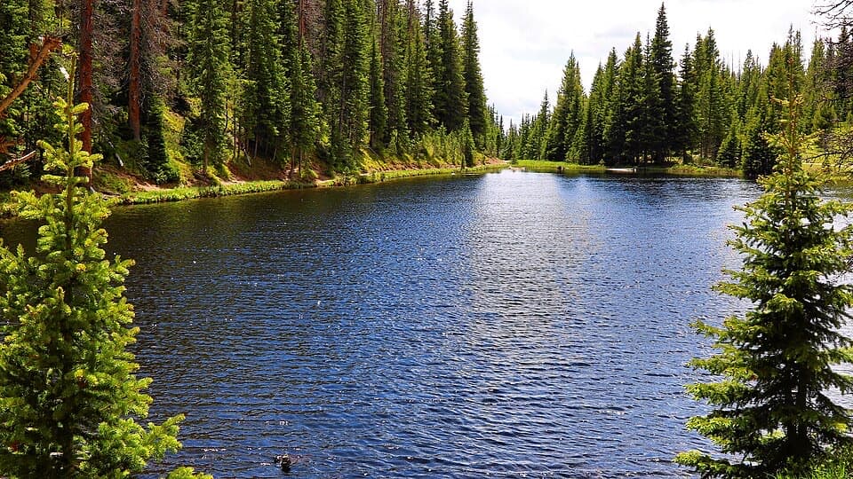 Sight · 4.6 mi awayLake IreneA quick lakeside loop and picnic stop on Trail Ridge Road.
Parkwolf’s Rocky Mountain ranking

The audio tour guide for the drive, plus offline maps, trails, and wildlife heatmaps for when the signal drops.




