Baker Pass Trail in Rocky Mountain National Park

Rocky Mountain National Park, CO

Baker Pass Trail

A high, quiet pass at the end of a long valley climb.

Length
12.6mi
Time
6.8hr
Elev. change
2,388ft
Difficulty
Challenging
  • No dogs
  • High point 11,230 ft
  • #67 of 136 in Rocky Mountain

Hear the audio tour

Bowen-Baker Trailhead: Baker Pass

Overview

About Baker Pass Trail

Why go

  • A 360-degree view from the Continental Divide.
  • A varied climb from river meadow to boulder field and alpine saddle.

Heads up

  • A long, high-altitude day with about 2,390 feet of climbing.
  • An unbridged stream and faint, boggy tread near the pass.

Map & elevation

The route

Loading the Rocky Mountain map
Full map
Elevation8,842–11,230 ft
TrailheadBowen-Baker Trailhead40.35476, -105.85769
Keep this map with you offline in the Parkwolf app

Plan your hike

Before you go

Parking

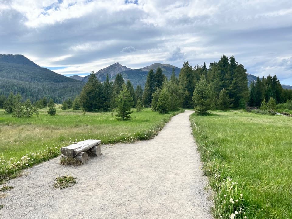
Park at Bowen-Baker Trailhead on Trail Ridge Road. Cross the Colorado River and follow the gravel road through the meadow; take the Baker Gulch branch to the right after the gate. A picnic table and vault or composting toilet are at the trailhead.

Safety

This is a long climb above 11,000 feet. The stream crossing has no bridge, and upper Baker Gulch can be faint and boggy; follow cairns toward the pass. Spring runoff may leave the crossing wet.

3 active Rocky Mountain alerts

  • ClosureOld Fall River Road closed to vehiclesOld Fall River Road is closed to motor vehicles for the season.Official details
  • ClosureSun Valley burn-area access remains closedThe area and trail west of Sun Valley Trail remain closed, including the route used for angler access to the Colorado River, because of impacts from the 2020 East Troublesome and Cameron Peak Fires;…Official details
See all 3 alerts
A park ranger sits on a dash-mounted phone, talking, as Parkwolf’s Tour Guide plays “Army Cutworm Moths: A Grizzly Bear Buffet” on Grand Loop Road below Dunraven Pass in Yellowstone
Parkwolf Tour GuideThe highest, rockiest slopes around here are a summer buffet for grizzly bears.

Rocky Mountain Tour Guide

Your drive to Baker Pass Trail, narrated.

Parkwolf is a GPS audio tour guide for Rocky Mountain National Park. As you drive, it chimes in with what’s ahead: hidden gems, upcoming stops, history, geology, and wildlife, right through your car’s speakers.

See the Rocky Mountain audio tour

Recorded for this trailhead

Bowen-Baker Trailhead: Baker Pass
0:00 / 0:27
“You're approaching Bowen-Baker Trailhead, where Baker Pass offers a long climb to a wide view across the Never Summer peaks.”

Plays as you drive up to this trailhead in the Parkwolf Rocky Mountain Tour Guide.

More stories near here in the app

  • Coyote Valley: A Riverside Picnic
  • Holzwarth Historic Site: From Homestead to Guest Ranch
  • How Moose Reached Kawuneeche Valley
  • Elizabeth Burnell Leads the Way
  • 79 audio storiesacross Rocky Mountain’s roads, triggered by GPS as you drive
  • Wildlife heatmapsfor Elk, Moose, Mountain Goat, and 13 more
  • Works offlinemaps, 136 trails, 88 places, and audio download before you lose signal
  • CarPlay readysimple controls built for the drive
★★★★★
“…No cell service for majority of the day but had continuous access to the app - the maps, the tour guide as you drive is amazing. Highly recommend purchasing the subscription.”
jkatnerApp Store review
Download Parkwolf on the App StoreGet Parkwolf on Google Play

4.7 from 8,600+ ratings

Trail guide

Hiking Baker Pass Trail

Is this the day you want?Baker Pass Trail is a 12.

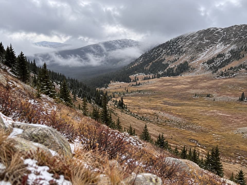
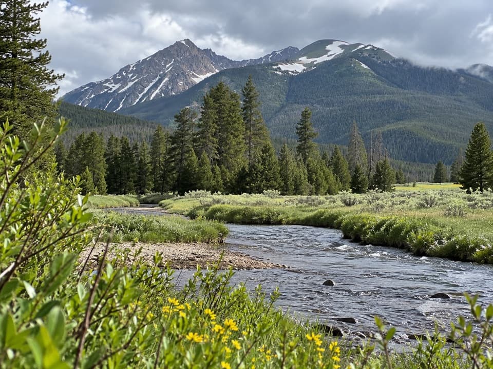
Baker Pass Trail is a 12.6-mile out-and-back from Bowen-Baker Trailhead, climbing through Kawuneeche Valley and Baker Gulch to a saddle on the Continental Divide in the Never Summer Wilderness. Plan on about 2,390 feet of climbing and 6.5 to 7 hours. The first short stretch is easy; most of the day is uphill at high elevation, so this is a full hiking day rather than a quick viewpoint stop. An older trail list gives 5.8 miles one way, while the connected route to Baker Pass maps to about 6.34 miles each way. This description uses the longer round-trip figure and ends at Baker Pass, not the Parika Lake loop.

Take the Baker branchFrom the Bowen-Baker lot, cross the Colorado River and follow the gravel road across Kawuneeche…

From the Bowen-Baker lot, cross the Colorado River and follow the gravel road across Kawuneeche meadow. At about a third of a mile, pass the gate and turn right onto Baker Gulch Trail. Bowen Gulch continues ahead toward Bowen Pass, a different hike from the same trailhead. Baker Gulch climbs through lodgepole forest; around mile three the footing gets rougher in a boulder field, and views start opening toward Peak 12,442.

Crossings and the final climbAt roughly 3.4 miles, reach the Grand Ditch.

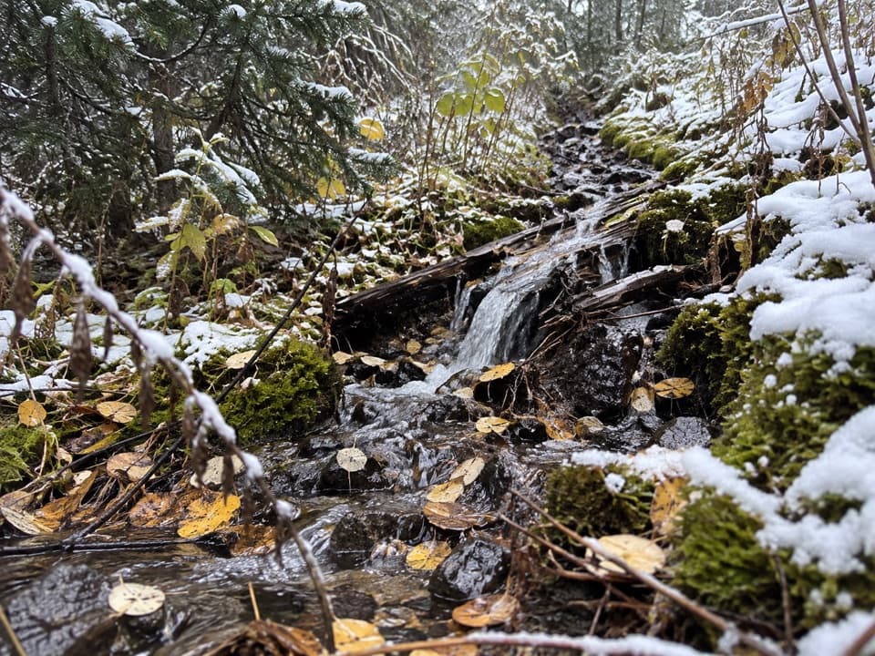
At roughly 3.4 miles, reach the Grand Ditch. Walk a short way along its service road to the footbridge, cross, then turn back onto Baker Gulch. Around mile four, ford an unbridged stream; spring runoff can leave you with wet feet. Turn right at the Parika Lake Trail junction. Above there, Baker Gulch gets faint and boggy in places. Cairns help you follow the trail as it skirts right across open ground toward the saddle, so don’t cut straight for the low point you see ahead.

The pass and the valleyThe forest opens into alpine meadow at about 5.

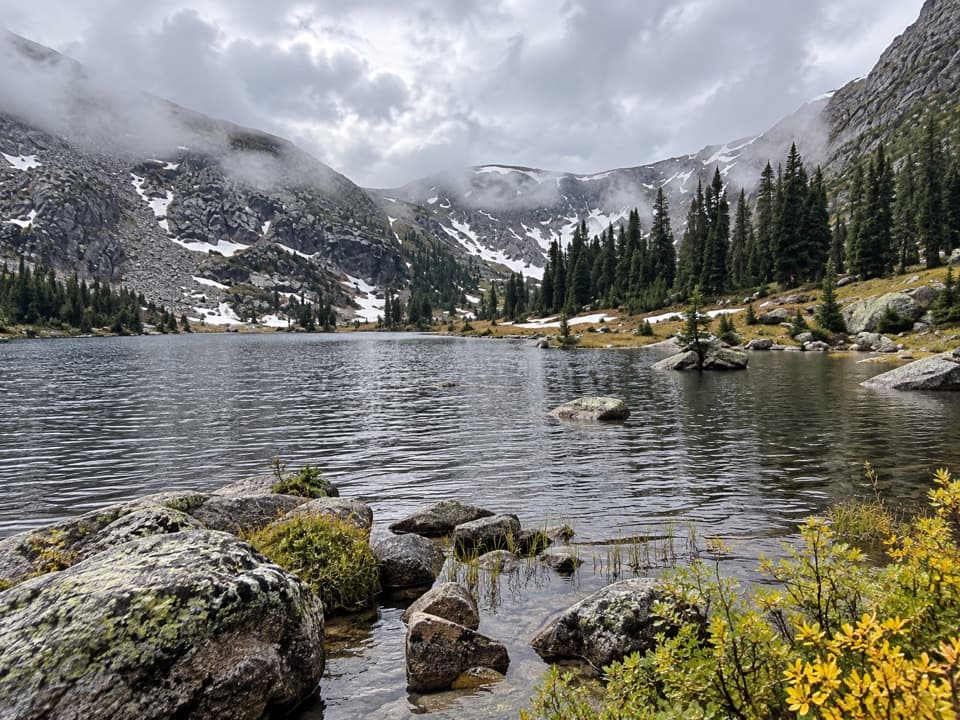
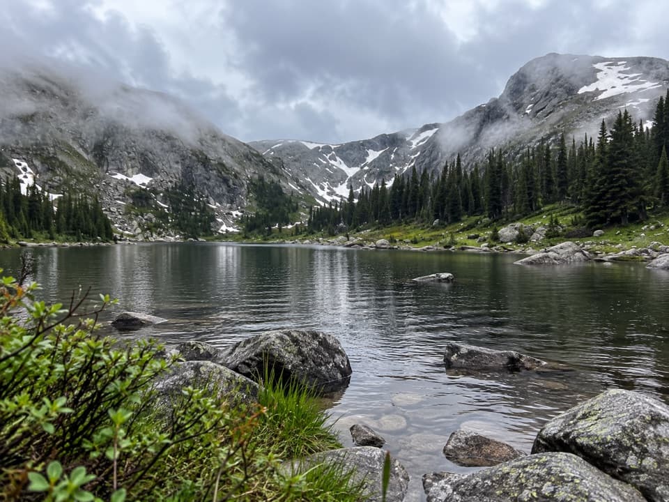
The forest opens into alpine meadow at about 5.5 miles, and Baker Pass is just over six miles from the trailhead. A Forest Service signpost marks the pass, where you get a wide view across the Never Summer peaks. Frame the signpost with the valley behind it to show how high and open the route feels. The Grand Ditch you crossed is a hand-built irrigation canal: work began in 1890 and finished in 1936, carrying water from the Never Summer side across the divide. Down in Kawuneeche Valley, the river and wetlands are elk and moose habitat, though sightings aren’t guaranteed.
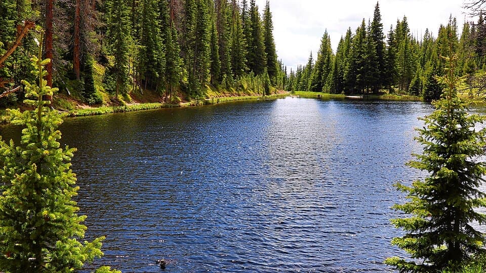
Start at Bowen-BakerThe trailhead is off Trail Ridge Road and has parking, a picnic table, and a vault or…

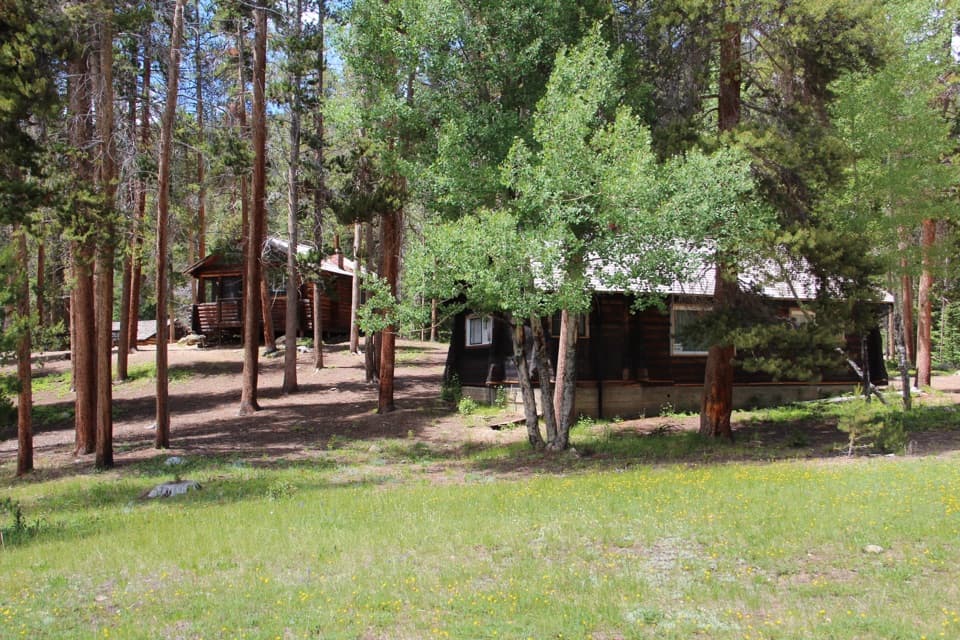
The trailhead is off Trail Ridge Road and has parking, a picnic table, and a vault or composting toilet. Dogs aren’t allowed on this route because it starts on Rocky Mountain National Park trails. The lower trail is usually snow-covered in winter; the park lists the area for cross-country skiing and snowshoeing from January through March.

Wildlife

Wildlife in Rocky Mountain

All Rocky Mountain wildlife maps

Sighting maps show where each species has been reported across Rocky Mountain. Wildlife moves, so no sighting is guaranteed.

Keep exploring

Near Baker Pass Trail

See it all on the map

Trails that start nearby

Places near the trailhead

Parkwolf’s Rocky Mountain ranking

Top-rated trails in Rocky Mountain

All 136 trails
  1. 1Emerald Lake TrailModerate · 3.4 mi
  2. 2Sky Pond TrailChallenging · 9 mi
  3. 3Chasm Lake TrailChallenging · 8.4 mi
  4. 4Bear Lake LoopEasy · 0.6 mi
  5. 5Dream Lake TrailModerate · 2.2 mi
  6. 6Alberta Falls TrailEasy · 1.7 mi

Take Parkwolf to Rocky Mountain.

The audio tour guide for the drive, plus offline maps, trails, and wildlife heatmaps for when the signal drops.

4.7 from 8,600+ ratings

Download Parkwolf on the App StoreGet Parkwolf on Google Play