Parking
Access from Green Ridge Campground off County Road 66 at the south end of Shadow Mountain Reservoir. Follow campground roads to the gravel East Shore access and dam.
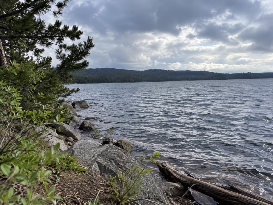
Rocky Mountain National Park, CO
Follow the Colorado River to Lake Granby’s Columbine Bay.
Overview
Map & elevation
Plan your hike

The highest, rockiest slopes around here are a summer buffet for grizzly bears.
Rocky Mountain Tour Guide
Parkwolf is a GPS audio tour guide for Rocky Mountain National Park. As you drive, it chimes in with what’s ahead: hidden gems, upcoming stops, history, geology, and wildlife, right through your car’s speakers.
See the Rocky Mountain audio tourMore stories near here in the app
“…No cell service for majority of the day but had continuous access to the app - the maps, the tour guide as you drive is amazing. Highly recommend purchasing the subscription.”


Trail guide
Columbine Bay is a 4.7-mile out-and-back from Green Ridge Campground to the shore where the Colorado River enters Lake Granby. The route crosses Shadow Mountain Dam, then follows the East Shore and Continental Divide corridor before dropping beside the river. It suits hikers who want a long, mostly low-gain walk with a lake at the end; the campground and dam approach is part of the trip.
Follow the campground road and gravel access through sagebrush meadows to the dam. Crossing it opens views of the Colorado River leaving Shadow Mountain Lake. At the East Shore Trail sign, take the short road connector and cross a marshy meadow. At the next junction, turn right and climb onto a bench through lodgepole forest with many dead trees. The route drops toward the river; you may hear it before the trees open to the water.
The last stretch stays close to the Colorado River as it cuts through a forested canyon and enters Lake Granby. Walk the bay shoreline before returning the same way. The dam and the water meeting the lake are the walk's best views; the trail itself has no reported food or water service.
The route gains about 300 feet and loses about the same on the return. Allow around two and a half hours for the 4.7-mile outing, including time by the water. Green Ridge Campground has toilets and drinking water, but those facilities are at the campground, not along the route. Dogs are prohibited on Rocky Mountain National Park trails, and this walk enters the park. Portions of East Shore Trail, the Colorado River corridor and Columbine Bay close each year from November 15 through March 15 to protect a bald eagle roost; follow the posted closure boundaries.
Wildlife
 3,124 sightingsElkMost seen around 6 PMSighting map
 1,601 sightingsMooseMost seen around 7 PMSighting map
 19 sightingsMountain GoatMost seen around 7 AMSighting map
 19 sightingsBald EagleMost seen around 8 AMSighting map
 30 sightingsGolden EagleMost seen around 10 AMSighting map
 270 sightingsBighorn SheepMost seen around 11 AMSighting map
Sighting maps show where each species has been reported across Rocky Mountain. Wildlife moves, so no sighting is guaranteed.
Keep exploring
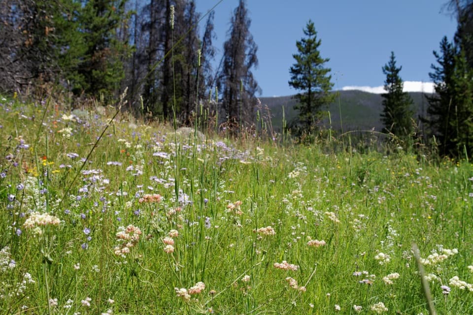 EasyRanger Meadows Loop4.3 mi · 2 hr · 0.1 mi awayA quiet circuit of lake shore, dam views and open meadow.
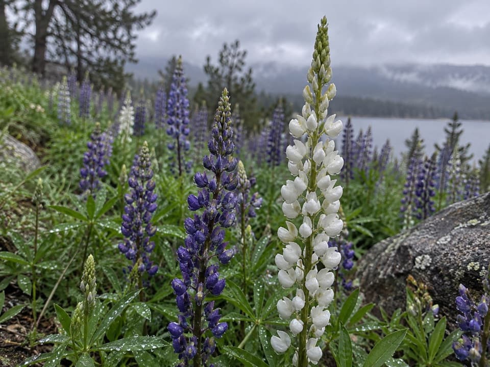 EasyEast Shore Trail5.9 mi · 3 hr · 2.6 mi awayA mellow lakeshore walk with open views over Shadow Mountain Reservoir.
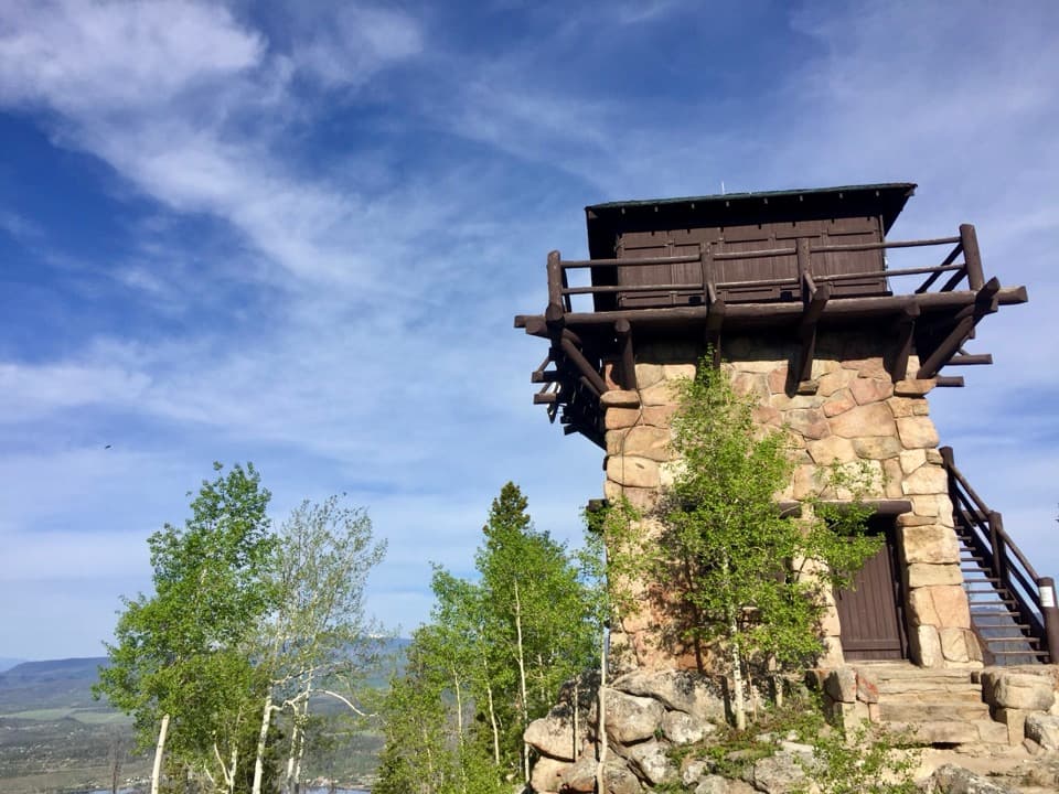 ChallengingShadow Mountain Lookout Trail9.6 mi · 4.5 hr · 2.6 mi awayA lakeside route climbs to a historic lookout closed to hikers.
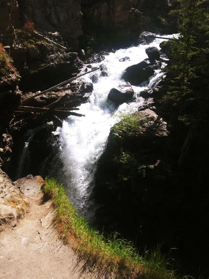 EasyAdams Falls Trail0.8 mi · 36 min · 3.3 mi awayTwo views of a stepped waterfall in a narrow gorge.
 ChallengingLake Verna Trail13.8 mi · 8 hr · 3.3 mi awayA long climb through meadow and granite to a remote alpine lake.
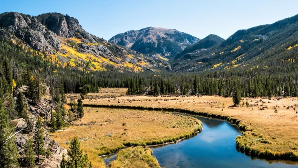 EasyEast Meadow Trail2.8 mi · 2 hr · 3.3 mi awayA gentle creekside walk to a meadow bluff beneath Mount Craig.ChallengingSpirit Lake via East Inlet Trail15.6 mi · 12.5 hr · 3.3 mi awayA full day from Adams Falls to the remote Spirit Lake basin.ChallengingFourth Lake via East Inlet Trail16.8 mi · 11 hr · 3.3 mi awayA long chain of high lakes, ending where the trail thins.Sight · 2.3 mi awayShadow Mountain Fire LookoutA 1930s fire lookout above three lakes, reached by a long hike.Sight · 3.2 mi awayAdams FallsA short approach, with a higher view above the gorge.
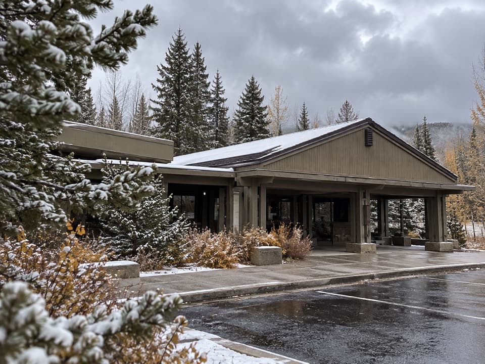 Visitor center · 4.2 mi awayKawuneeche Visitor CenterStart here for west-side maps, answers, and a park-scale preview.
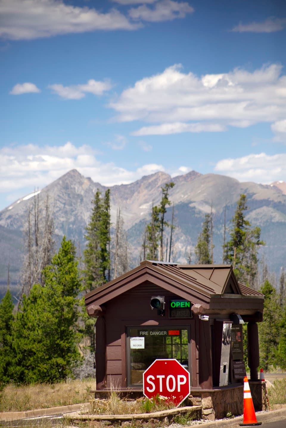 Entrance station · 4.6 mi awayGrand Lake EntranceA practical west-side gateway close to Grand Lake.
 Picnic area · 5.3 mi awayHarbison Meadows Picnic AreaSheltered picnic tables, a meadow view, and a ranching story.
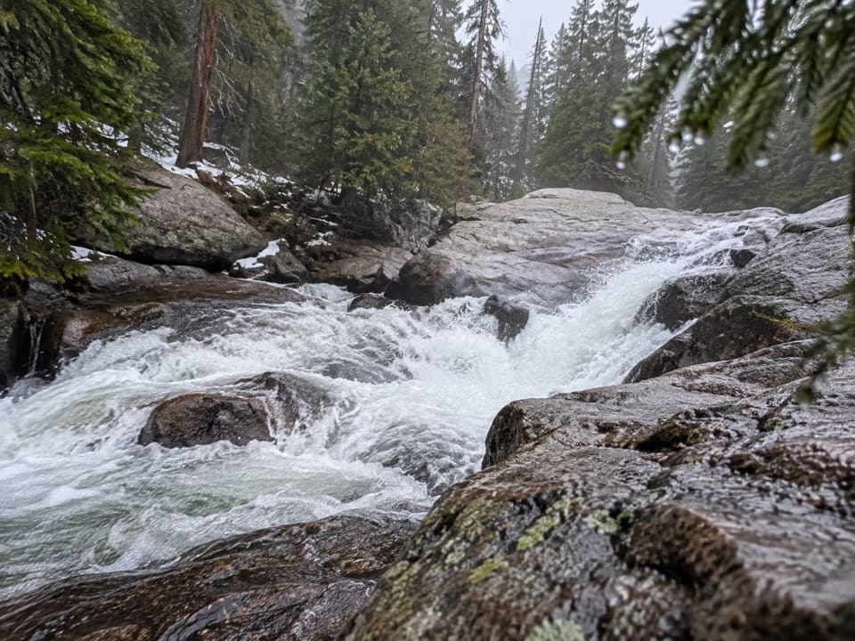 Sight · 6.2 mi awayCascade FallsA seven-mile walk brings you to a close-up granite waterfall.
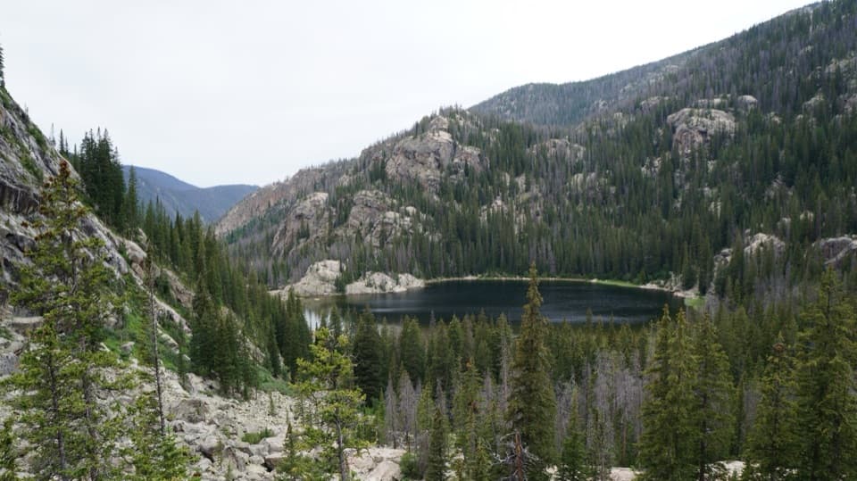 Sight · 6.2 mi awayLone Pine LakeAn 11-mile round trip to a granite-framed backcountry lake.Sight · 7.6 mi awayLake VernaSave a day for this narrow lake in the East Inlet valley.
Parkwolf’s Rocky Mountain ranking

The audio tour guide for the drive, plus offline maps, trails, and wildlife heatmaps for when the signal drops.




