Parking
Wild Basin Trailhead is the correct start, off Colorado Highway 7 on the park’s southeast side. Use the marked trailhead parking; toilets and a ranger station are nearby.
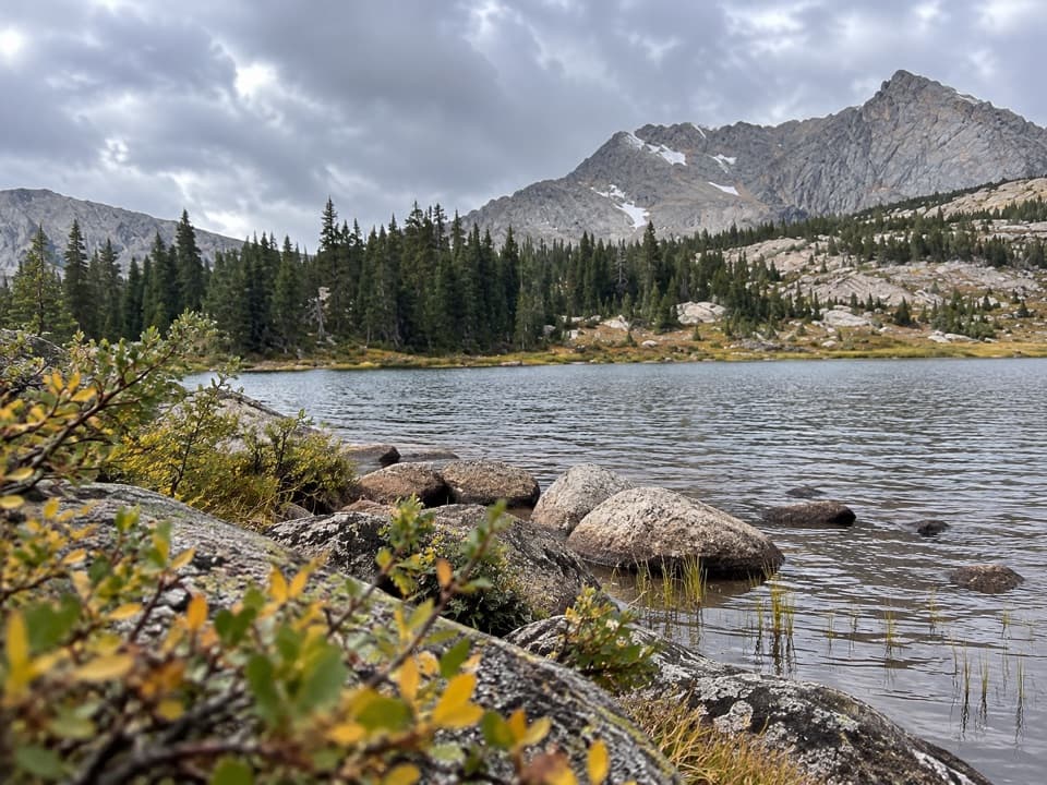
Rocky Mountain National Park, CO
Waterfalls lead to Lion Lake beneath a wall of high peaks.
Overview
Map & elevation
Plan your hike

The highest, rockiest slopes around here are a summer buffet for grizzly bears.
Rocky Mountain Tour Guide
Parkwolf is a GPS audio tour guide for Rocky Mountain National Park. As you drive, it chimes in with what’s ahead: hidden gems, upcoming stops, history, geology, and wildlife, right through your car’s speakers.
See the Rocky Mountain audio tourRecorded for this trailhead
Wild Basin: A Short Walk or Ouzel Falls“The Wild Basin trailhead is ahead, with a choice of creekside waterfall walks. Lower Copeland Falls is the quick option: about six-tenths of a mile round trip from the summer trailhead.”
Plays as you drive up to this trailhead in the Parkwolf Rocky Mountain Tour Guide.
More stories near here in the app
“…No cell service for majority of the day but had continuous access to the app - the maps, the tour guide as you drive is amazing. Highly recommend purchasing the subscription.”


Trail guide
Lion Lake No. 1 Trail is a 13.6-mile out-and-back from Wild Basin Trailhead to the eastern shore of Lion Lake No. 1, following the scenic line past Copeland Falls and Ouzel Creek’s cascades. The climb to the lake is about 6.8 miles one way, with roughly 2,800 feet of ascent. Allow 7 to 10 hours for a full day at high elevation. A separate seven-mile figure starts from Finch Lake Trailhead; the distance here uses Wild Basin.
Begin at Wild Basin Trailhead, where parking, toilets and a ranger station are available. Check the park’s current timed-entry rules before a summer drive, since reservations apply during some entry periods. Pets are prohibited on park trails. At Pine Ridge, a rougher campsite spur cuts toward Thunder Lake Trail, saving about a mile each way while skipping Calypso Cascades and Ouzel Falls. This route follows the longer waterfall approach. Several backcountry campsites lie along it; overnight stays require a wilderness permit and reservation.
The first stretch climbs through subalpine forest. Lower Copeland Falls is about 0.3 to 0.4 mile from the trailhead, and Upper Copeland Falls is roughly a tenth of a mile farther along a short side path. After crossing Sandbeach Creek, stay on the scenic line at Pine Ridge. Log bridges cross North St. Vrain near cascades, and switchbacks climb to Ouzel Falls around 2.7 miles from the start. The route continues above the falls, past the Bluebird Lake junction, into the upper valley.
As the forest thins, the route passes backcountry campsites and reaches the Lion Lake branch. Watch for its sign above the main tread; it can be easy to miss while climbing. The upper trail steepens over rough rock and slabs, and the tread fades in places. Follow the signed Lion Lake line rather than continuing toward Thunder Lake. The last approach crosses open meadow and boulders before reaching the lake’s shore.
From the eastern and northern shore, Lion Lake sits below a high wall of peaks. Mount Alice and Pilot Mountain rise across the water, Chiefs Head Peak dominates to the right, and Tanima Peak stands to the south. For a photograph, keep some of the rocky shore in the foreground with the lake and peaks beyond; the foreground gives the wide basin scale. Informal paths continue beyond Lion Lake No. 1 toward Lion Lake No. 2 and Snowbank Lake. Those unmaintained extensions are outside this mapped hike.
Snow can linger at the lake’s elevation into spring, while late spring and early summer bring wildflowers to the open meadows. Wildlife is unpredictable, but accounts mention ptarmigan and mountain bluebirds in the meadow and an American dipper along the lake shore. Treat those as possible sightings, not a promise.
Wildlife
 3,124 sightingsElkMost seen around 6 PMSighting map
 1,601 sightingsMooseMost seen around 7 PMSighting map
 19 sightingsMountain GoatMost seen around 7 AMSighting map
 19 sightingsBald EagleMost seen around 8 AMSighting map
 30 sightingsGolden EagleMost seen around 10 AMSighting map
 270 sightingsBighorn SheepMost seen around 11 AMSighting map
Sighting maps show where each species has been reported across Rocky Mountain. Wildlife moves, so no sighting is guaranteed.
Keep exploring
 ChallengingBluebird Lake Trail12 mi · 9 hr · At the trailheadA long climb past two waterfalls ends at a high alpine lake.
 ModerateOuzel Falls Trail5.4 mi · 3.5 hr · At the trailheadThree waterfalls reward the climb well before the turnaround.
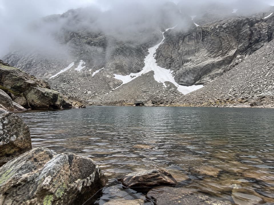 ChallengingLake of Many Winds Trail15.3 mi · 11 hr · At the trailheadClimb past Wild Basin waterfalls to a high lake beneath Boulder-Grand Pass.
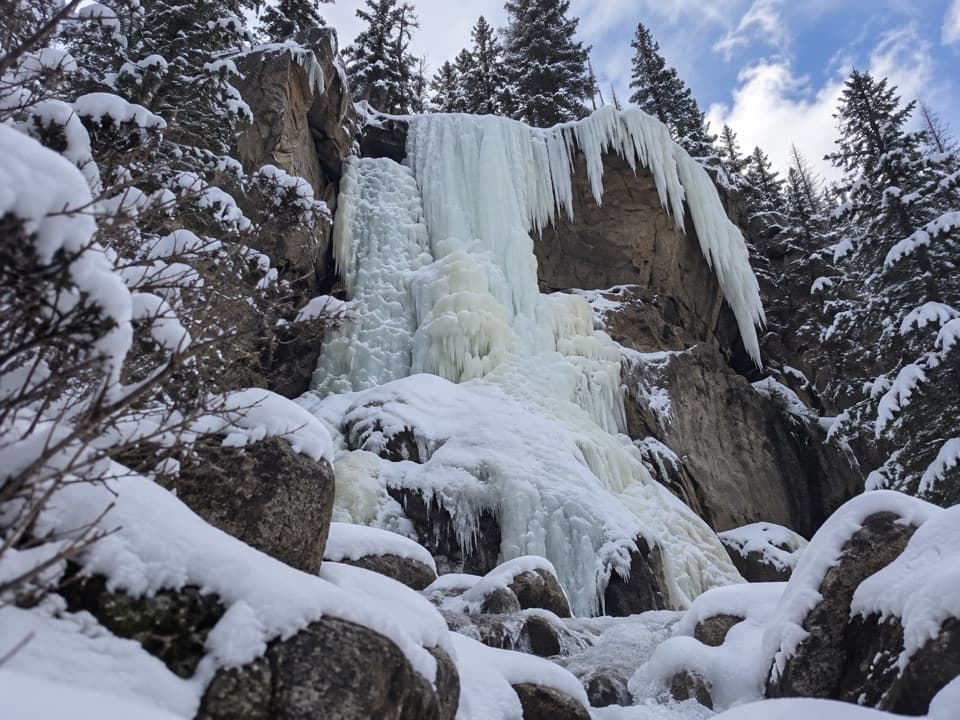 ModerateHidden Falls Trail1.8 mi · 1.5 hr · At the trailheadA short, faint Wild Basin path to a sudden waterfall.
 ChallengingThunder Lake Trail13.6 mi · 6 hr · At the trailheadWaterfalls and creek cascades break up the climb to a high lake.
 EasyCopeland Falls Trail1 mi · 45 min · At the trailheadA short creekside walk to Lower and Upper Copeland Falls.
 ChallengingOuzel Lake Trail9.8 mi · 6.5 hr · At the trailheadThree waterfalls punctuate the long climb to Ouzel Lake.
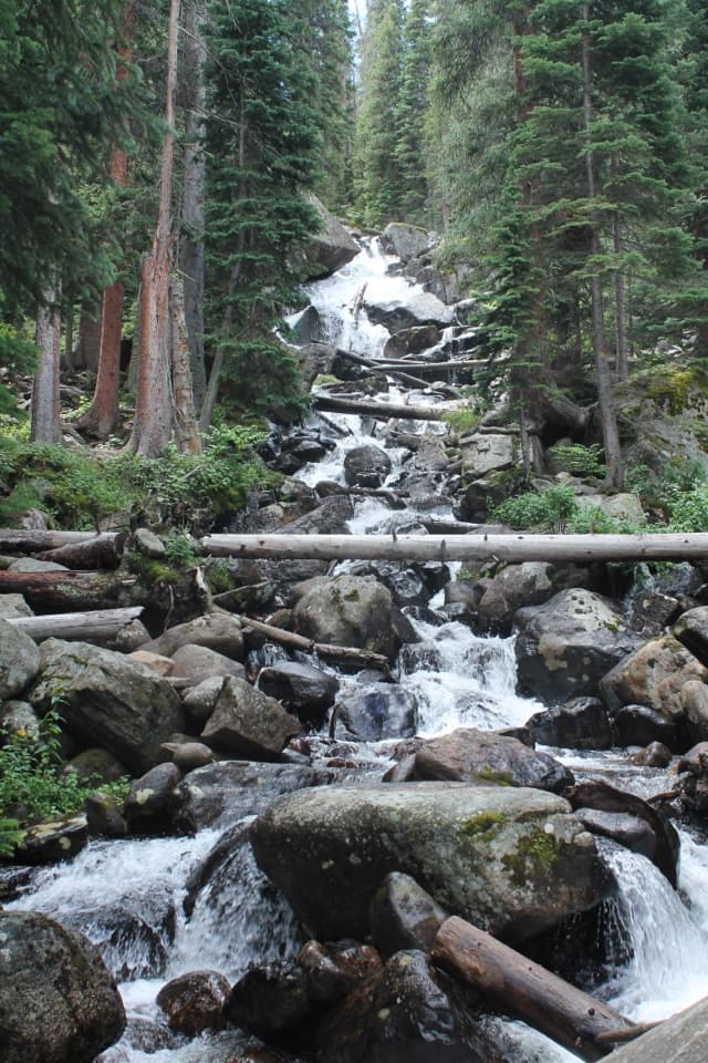 ModerateCalypso Cascades Trail3.6 mi · 2.5 hr · 0.1 mi awayTwo Copeland Falls come before a much taller cascade.
 Sight · 0.2 mi awayCopeland FallsTwo small cascades make a quick creekside detour in Wild Basin.
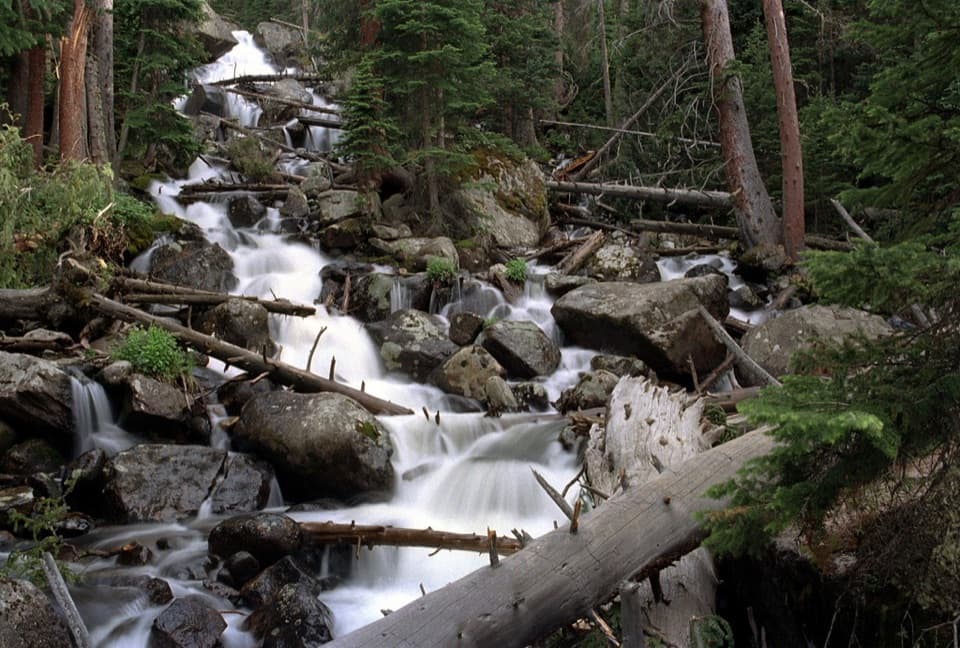 Sight · 1.6 mi awayCalypso CascadesSpring runoff turns this boulder-and-log waterfall into a roar.
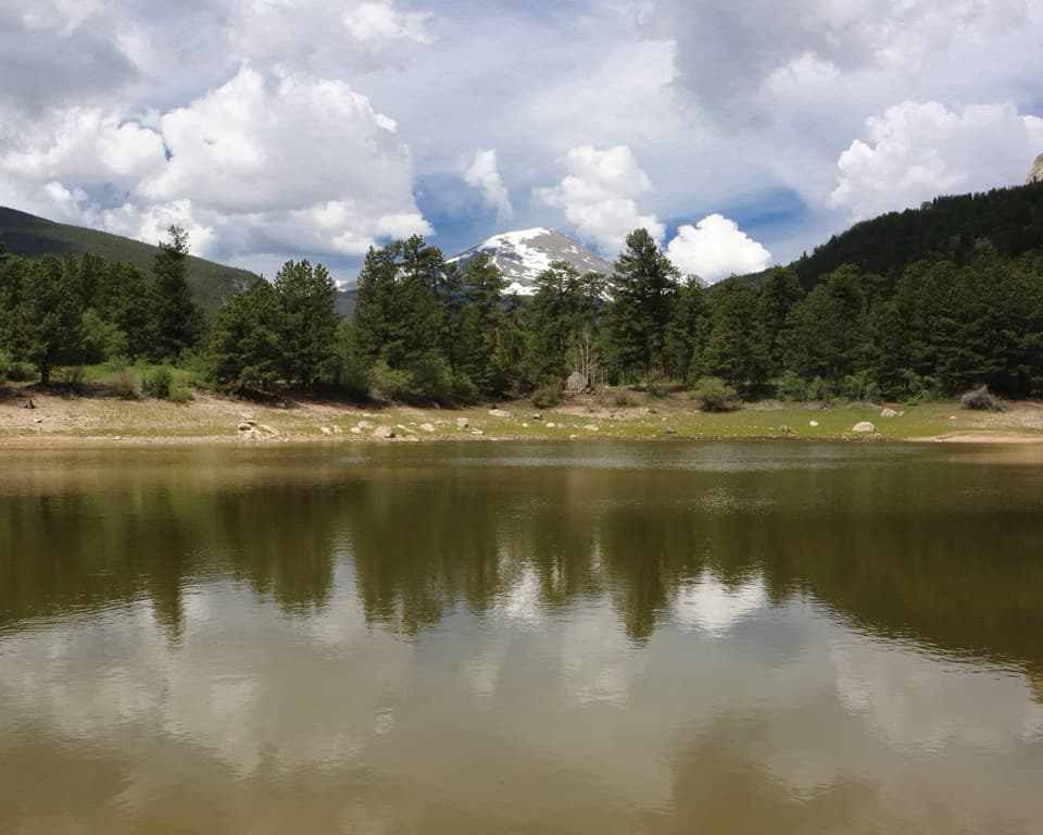 Picnic area · 1.7 mi awayCopeland Lake Picnic AreaA lakeside picnic stop beside the Sandbeach Lake trailheadSight · 1.9 mi awayOuzel FallsCopeland and Calypso Cascades come before the 40-foot finale.
 Sight · 2 mi awaySandbeach LakeSandy lakeshore, peak views, and a 1,970-foot climb.
 Sight · 2.1 mi awayFinch LakeA shallow backcountry lake reached by a long Wild Basin hike.Sight · 3.5 mi awayOuzel LakeA high lake beyond Wild Basin’s chain of waterfalls.
 Sight · 3.8 mi awayPear LakeA high lake two miles beyond Finch, reached on a long hike.
Parkwolf’s Rocky Mountain ranking

The audio tour guide for the drive, plus offline maps, trails, and wildlife heatmaps for when the signal drops.




