Parking
Start at Sus Picnic Area on the Bajada Loop Drive. The access is an unpaved, graded six-mile loop from Hohokam Road; high clearance or four-wheel drive is not required. Parking capacity and facilities were not verified.

Saguaro National Park, AZ
A sandy wash walk among saguaros below close desert hills.
Overview
Map & elevation
Plan your hike

The highest, rockiest slopes around here are a summer buffet for grizzly bears.
Saguaro Tour Guide
Parkwolf is a GPS audio tour guide for Saguaro National Park. As you drive, it chimes in with what’s ahead: hidden gems, upcoming stops, history, geology, and wildlife, right through your car’s speakers.
See the Saguaro audio tourRecorded for this trailhead
Sus Picnic Area“Sus Picnic Area is coming up, the closest picnic stop to Red Hills Visitor Center. If you're ready for a sit-down meal, its roofed ramada shelters three tables, with more tables nearby.”
Plays as you drive up to this trailhead in the Parkwolf Saguaro Tour Guide.
More stories near here in the app
“Fantastic app with many points of information… It’s great to just turn on while you’re driving and it gives you an audio tour of the national Park. We love it!!!!”


Trail guide
Bajada Wash Trail follows a shallow wash from Sus Picnic Area to a junction with the Valley View Overlook Trail near Hohokam Road. It is a point-to-point path; walk it back the way you came for about 4 miles round trip. The full connected mapped line is about 2 miles one way, though published one-way figures range from 1.6 to 1.9 miles. Allow about two hours for the sandy out-and-back.
The wash is usually dry and shallow, with loose sand and gravel underfoot. Mountains hem it in, so this is more of a close-up walk among saguaros and other Sonoran Desert plants than a big-panorama hike. A bajada is the sloping gravel plain at the base of a mountain; the wash runs through that foothill setting.
Start at Sus Picnic Area, reached from Hohokam Road by the unpaved, graded Bajada Loop Drive. The full loop drive is six miles, and ordinary vehicles do not need high clearance or four-wheel drive. There is little shade, so avoid the summer heat of late morning and afternoon. This is a wash: do not hike it when thunderstorms are nearby, since flash floods can arrive from rain uphill. Carry your own water; no water source along the route was confirmed. Pets are prohibited on the trail; service animals are allowed.
Wildlife
 19 sightingsBlack BearMost seen around 6 AMSighting map
 56 sightingsMountain LionMost seen around 6 AMSighting map
 266 sightingsMule DeerMost seen around 6 PMSighting map
 113 sightingsCollared PeccaryMost seen around 6 PMSighting map
 53 sightingsBobcatMost seen around 6 AMSighting map
 127 sightingsCoyoteMost seen around 6 PMSighting map
Sighting maps show where each species has been reported across Saguaro. Wildlife moves, so no sighting is guaranteed.
Keep exploring
 ChallengingHugh Norris Trail to Wasson Peak10 mi · 5.8 hr · 0.4 mi awayA cactus-lined climb to the broad, bare summit of Wasson Peak.
 ModerateHugh Norris Big Loop6.6 mi · 4 hr · 0.4 mi awayDesert ridgeline views, sharp switchbacks, and a loop through two washes.
 EasyDesert Discovery Trail0.4 mi · 30 min · 0.6 mi awayA gentle paved loop among saguaros, with signs about desert life.
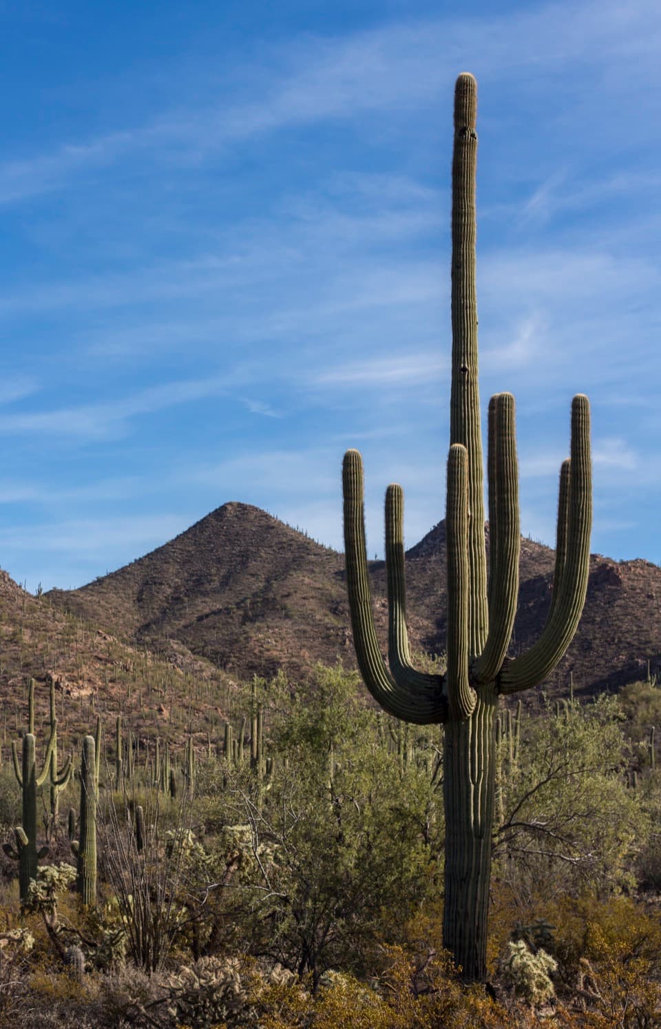 EasyWild Dog Trail1.8 mi · 1.2 hr · 0.8 mi awayA 1.8-mile desert walk from Valley View to the Signal Hill turnoff.
 EasyValley View Overlook Nature Trail0.8 mi · 36 min · 0.8 mi awayWash crossings lead to a wide desert view with ridge benches.
 ModerateCactus Wren/Signal Hill/Manville Loop4.3 mi · 2.3 hr · 1.3 mi awayA 4.3-mile loop past petroglyphs and through saguaro flats.EasySignal Hill Trail0.3 mi · 30 min · 1.3 mi awayA quick rocky climb to Hohokam petroglyphs and desert views.
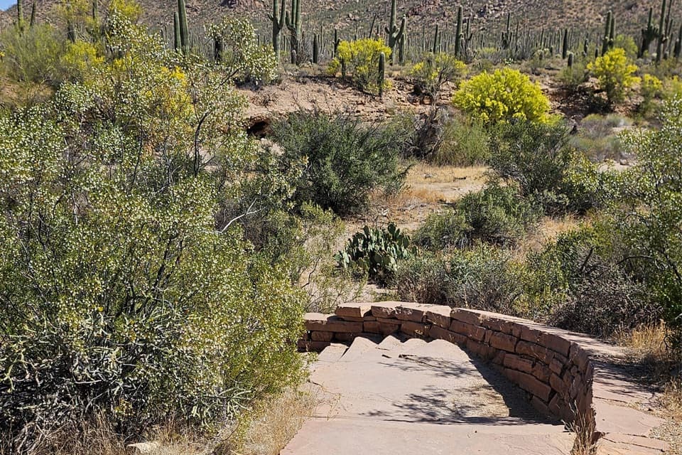 EasyJavelina Wash Trail0.3 mi · 25 min · 1.4 mi awayA short wash loop for sand, burrows, and desert detail.
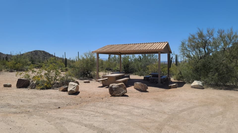 Picnic area · 0.1 mi awaySus Picnic AreaA shaded picnic stop with a little CCC history.Sight · 0.6 mi awayValley View OverlookA short cactus walk opens onto Avra Valley and its distant ridges.Sight · 1.3 mi awaySignal HillMore than 200 Hohokam petroglyphs on a short desert hill walk.
 Visitor center · 1.4 mi awayRed Hills Visitor CenterStart here for desert exhibits, trail advice, and Red Hills views.
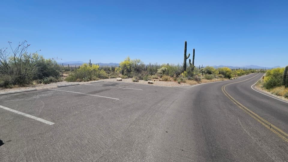 Scenic pullout · 1.7 mi awayKinney Road Sunset PulloutA quick sunset stop with only four parking spaces.
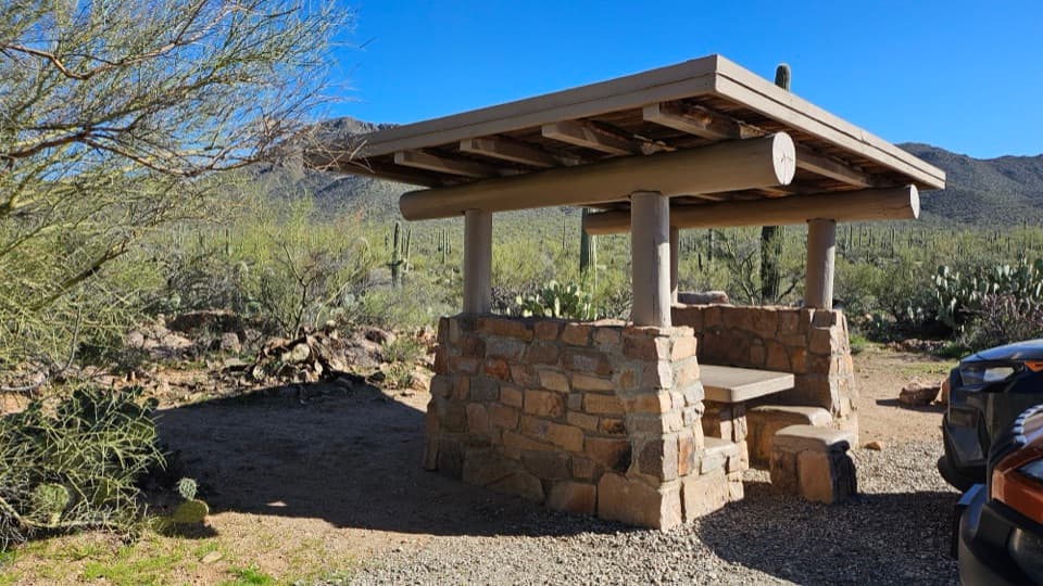 Picnic area · 2.6 mi awayEz-Kim-In-Zin Picnic AreaA stone shelter turns a desert picnic into a proper stop.
 Picnic area · 2.7 mi awaySendero Esperanza Picnic AreaA simple picnic stop at the end of Golden Gate Road
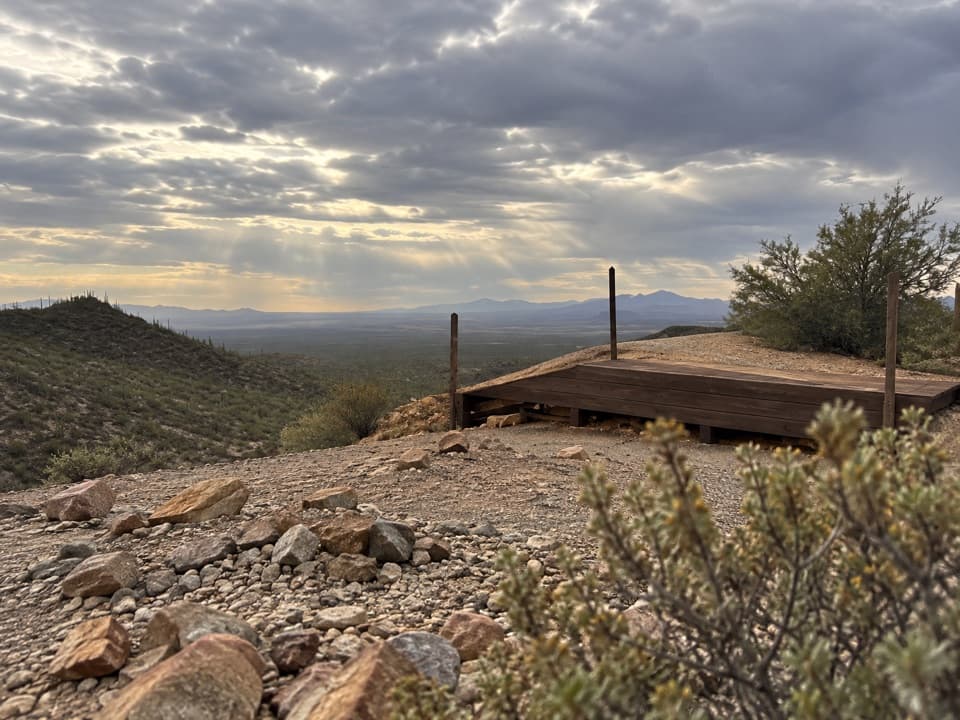 Sight · 2.7 mi awayGould MineCopper mine ruins reached by a desert hike.
Parkwolf’s Saguaro ranking

The audio tour guide for the drive, plus offline maps, trails, and wildlife heatmaps for when the signal drops.