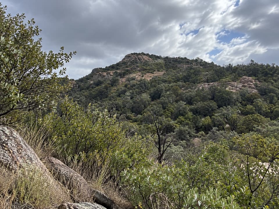
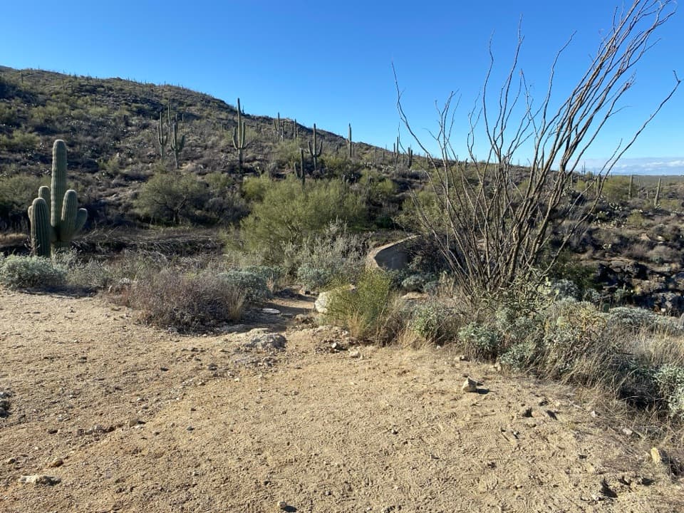
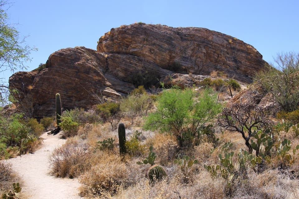
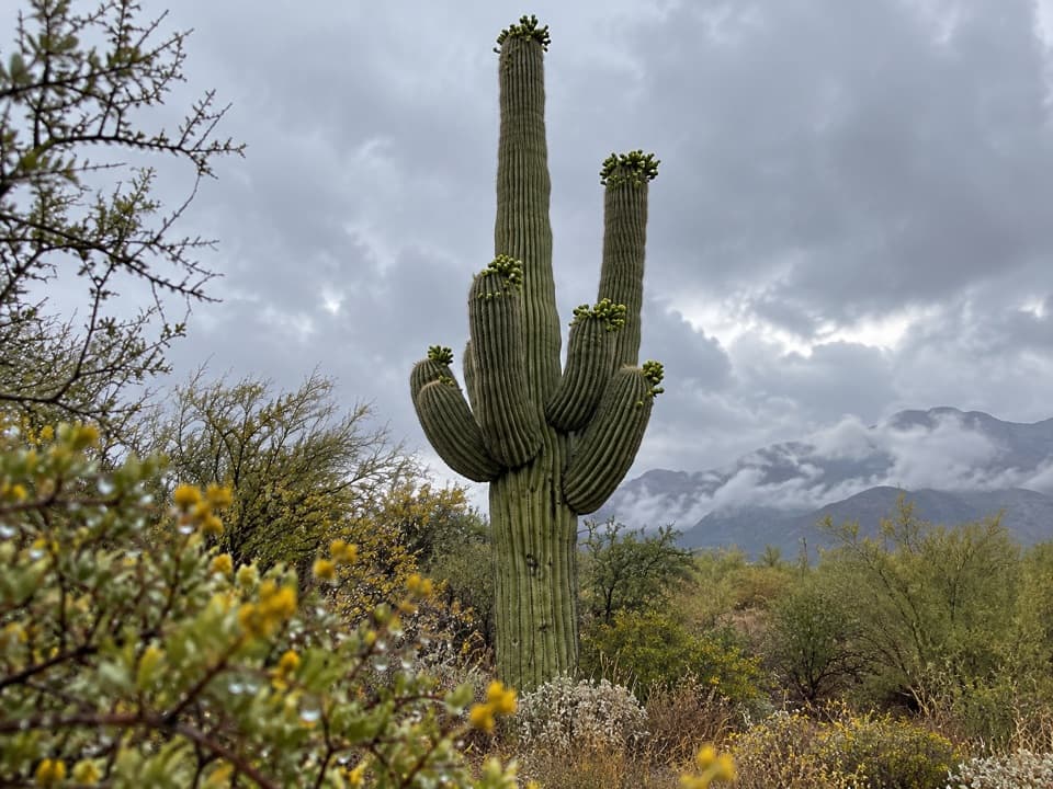
Tanque Verde Peak in Saguaro National Park

Sight · Saguaro National Park

Tanque Verde Peak

A rugged summit above Tucson rewards a very long ridge hike.

Type
Sight
Nearest trail
1.9 mi

Hear the audio tour

Javelina Picnic Area and Freeman Homestead

Overview

About Tanque Verde Peak

Why stop

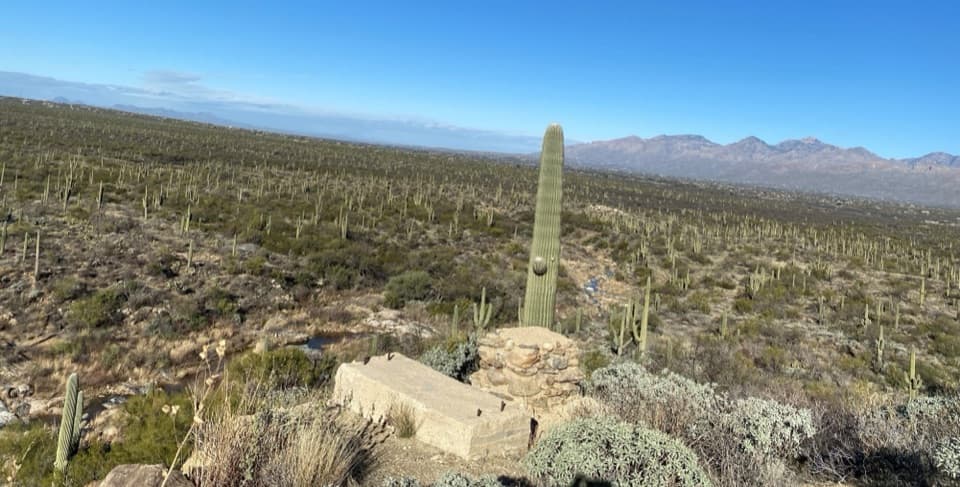
  • Long ridge approach with distinctive cactus, rock and high-country scenery

Heads up

  • Strenuous 17-mile outing with major elevation gain and a final scramble

Map

Where it is

Loading the Saguaro map
Full map
SightTanque Verde Peak32.19556, -110.63135
Keep this map with you offline in the Parkwolf app

Plan your stop

Before you go

3 active Saguaro alerts

  • CautionHazards in Rincon Mountain burn areasMentions Rincon Mountain, referenced in this guideStay on trails and use extra caution in high-elevation Rincon Mountain areas burned by the two 2020 fires; fire damage can leave unstable ground and other hazards.Official details
  • ClosureTucson Mountain District road closuresSeveral Tucson Mountain District roads are closed; follow posted closures and use McCain Loop to bypass the Kinney Road closure.Official details

See all 3 alerts
A park ranger sits on a dash-mounted phone, talking, as Parkwolf’s Tour Guide plays “Army Cutworm Moths: A Grizzly Bear Buffet” on Grand Loop Road below Dunraven Pass in Yellowstone
Parkwolf Tour GuideThe highest, rockiest slopes around here are a summer buffet for grizzly bears.

Saguaro Tour Guide

Your drive to Tanque Verde Peak, narrated.

Parkwolf is a GPS audio tour guide for Saguaro National Park. As you drive, it chimes in with what’s ahead: hidden gems, upcoming stops, history, geology, and wildlife, right through your car’s speakers.

See the Saguaro audio tour

Recorded for this place

Javelina Picnic Area and Freeman Homestead
0:00 / 0:32
“You're nearing the Freeman Homestead trail access and Javelina Picnic Area. For a meal break, bring a picnic to Javelina's covered tables; for a short walk nearby, I'd choose the homestead loop.”

Plays as you drive up to Tanque Verde Peak in the Parkwolf Saguaro Tour Guide.

More stories near here in the app

  • Riparian Overlook
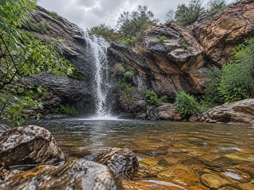
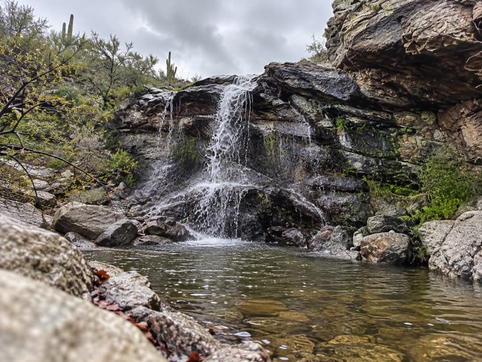
  • Douglas Spring and Wildhorse: The Falls Hike
  • Rincon Mountains Overlook
  • Loma Verde: The Pink Hill View
  • 43 audio storiesacross Saguaro’s roads, triggered by GPS as you drive
  • Wildlife heatmapsfor Black Bear, Mountain Lion, Mule Deer, and 13 more
  • Works offlinemaps, 74 trails, 40 places, and audio download before you lose signal
  • CarPlay readysimple controls built for the drive
★★★★★
“Fantastic app with many points of information… It’s great to just turn on while you’re driving and it gives you an audio tour of the national Park. We love it!!!!”
JMJamesApp Store review
Download Parkwolf on the App StoreGet Parkwolf on Google Play

4.7 from 8,600+ ratings

Guide

More about Tanque Verde Peak

Decide if you have the dayTanque Verde Peak is a remote summit on Tanque Verde Ridge in the Rincon Mountains, in…

Tanque Verde Peak is a remote summit on Tanque Verde Ridge in the Rincon Mountains, in Saguaro’s east district. This is a serious backcountry hike, not a roadside stop. From Javelina Picnic Area, the peak lies 8.7 miles along a strenuous trail, with about 4,000 feet of elevation gain. Round-trip estimates range around 17 to 17.6 miles and 4,700 to 5,025 feet of gain. The numbers vary, but this is a demanding full-day outing. A short Class 2 scramble leads onto the summit block.

The ridge comes firstThe trail reaches the ridge after roughly three-quarters of a mile, where views open south,…

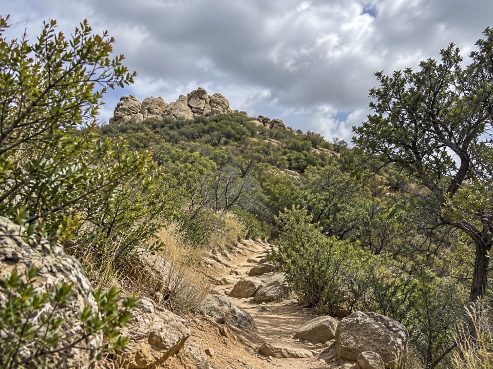
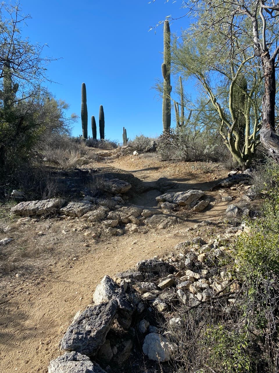
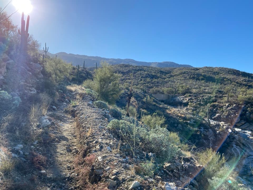
The trail reaches the ridge after roughly three-quarters of a mile, where views open south, west and north toward Tucson and surrounding ranges. The peak stays hidden for much of the undulating ridge walk. Along the way, look for a crested saguaro around mile 2.5 and a broad exposed rock surface hikers call the Dome near mile 3. Vegetation changes from desert scrub to grass and shrubs, then trees, as the route climbs. Juniper Basin, about 6.9 miles from the trailhead, is the backcountry campground and an overnight option; camping requires an advance reservation.

At the topThe summit is a rocky high point with views toward Tucson, Mount Lemmon and Rincon Peak.

The summit is a rocky high point with views toward Tucson, Mount Lemmon and Rincon Peak. The last scramble is short, but it comes after a long climb and crosses uneven rock, so save energy for the descent. For a photo, use the pale stacked summit outcrops with nearby rock and scrub in the foreground; the foreground helps show the scale and texture of the summit rather than turning it into a distant skyline.

A ridge shaped deep undergroundTanque Verde Ridge is made largely of mylonite, rock deformed when this part of the crust…

Tanque Verde Ridge is made largely of mylonite, rock deformed when this part of the crust stretched and sheared about 20 to 30 million years ago. A large slab moved northwest along a detachment fault, leaving the deeply altered lower rocks that form the ridge. The Rincons are a Basin and Range mountain block, and their high country rises from the Sonoran Desert into woodland and forest communities.

Prepare for desert conditionsStart early and carry all the water and food you need.

Start early and carry all the water and food you need. Summer heat can be dangerous, so avoid the hottest part of the day. Stay off exposed ridges during thunderstorms, and watch for monsoon flash floods from July through September. Natural water is seasonal and should be treated. Parking, a restroom and picnic tables are at Javelina Picnic Area, the trailhead; the Rincon Mountain Visitor Center is about 1.5 miles away.

Wildlife

Wildlife in Saguaro

All Saguaro wildlife maps

Sighting maps show where each species has been reported across Saguaro. Wildlife moves, so no sighting is guaranteed.

Keep exploring

Near Tanque Verde Peak

See it all on the map

Trails nearby

More stops nearby

Parkwolf’s Saguaro ranking

Top sights in Saguaro

All 40 places
  1. 1Signal HillSight
  2. 2Javelina RocksScenic pullout
  3. 3Valley View OverlookSight
  4. 4Cactus Forest OverlookScenic pullout
  5. 5Gates Pass OverlookSight
  6. 6Arizona-Sonora Desert MuseumSight

Take Parkwolf to Saguaro.

The audio tour guide for the drive, plus offline maps, trails, and wildlife heatmaps for when the signal drops.

4.7 from 8,600+ ratings

Download Parkwolf on the App StoreGet Parkwolf on Google Play