Parking
Start at the Camino Del Cerro Trailhead (EC) at the end of West El Camino del Cerro. Parking capacity and facilities were not confirmed.
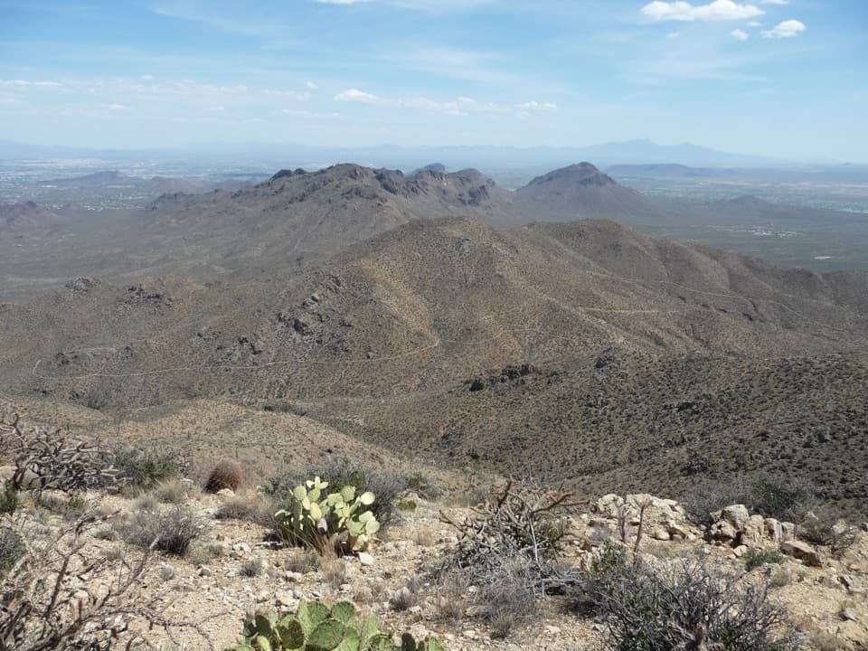
Saguaro National Park, AZ
A gradual cactus climb reaches the Tucson Mountains' highest summit.
Overview
Map & elevation
Plan your hike

The highest, rockiest slopes around here are a summer buffet for grizzly bears.
Saguaro Tour Guide
Parkwolf is a GPS audio tour guide for Saguaro National Park. As you drive, it chimes in with what’s ahead: hidden gems, upcoming stops, history, geology, and wildlife, right through your car’s speakers.
See the Saguaro audio tourRecorded for this trailhead
El Camino del Cerro: Sweetwater to Wasson Peak“El Camino del Cerro Trailhead is ahead, the start of the Sweetwater route to Wasson Peak. Choose this for a full day’s hike to wide views across the ridges and desert basins.”
Plays as you drive up to this trailhead in the Parkwolf Saguaro Tour Guide.
More stories near here in the app
“Fantastic app with many points of information… It’s great to just turn on while you’re driving and it gives you an audio tour of the national Park. We love it!!!!”


Trail guide
This is a 9.2-mile out-and-back from the El Camino del Cerro trailhead to Wasson Peak, the highest point in the Tucson Mountains. The long approach gains about 2,100 feet through Sonoran Desert slopes before a steeper ridge climb to the 4,687-foot summit. Allow roughly five to six hours at an ordinary hiking pace, with time to stop at the top. It is a hard, exposed day hike; choose it for the summit and its wide views, not for a quick stroll.
The route starts on Sweetwater Trail and climbs gradually toward the south ridge. At the ridge, follow the King Canyon Trail toward the summit, then return by the same path. The mapped line follows the connected trail corridor to the peak and does not continue west along the ridge. A shorter 6.8-mile round trip turns around at the ridge before the summit climb, a useful choice if you want the desert approach without the final push.
The lower Sweetwater section is well defined and climbs at a measured grade. Broad switchbacks work south across the mountain's lower slopes, then the trail draws into a canyon before reaching the ridge junctions. Expect a long, steady approach rather than a short, steep climb. The surroundings are open desert, with saguaros, prickly pear and ocotillo among the vegetation. There is little dependable shade, so the effort can feel very different in hot weather than the gradual grade suggests.
At the ridge, make sure you take the summit-bound trail rather than continuing onto a different ridge route. The summit spur is steeper and rockier than the lower approach. The route returns to the same trailhead, so turn around at Wasson Peak; the continuing ridge paths lead to other hikes and are not part of this out-and-back.
Wasson Peak is the high point of the Tucson Mountains. From the summit, ridges and desert basins open out in several directions, making this the main reward for the sustained climb. Give yourself a pause before starting down: the wide view is easier to take in from the top than from the narrow rising trail. A photograph that includes the broken ridgelines as well as the lower desert conveys the scale better than a close view of the summit rocks alone.
Summer temperatures in this desert can reach the mid-90s to low-110s. The park advises starting before 10 a.m. or after 4 p.m. during summer activity periods. Late-summer and early-fall monsoon storms can cause flash floods, so avoid washes and exposed drainages when storms threaten. No water source along this route was confirmed; plan for a dry, exposed hike and do not count on water at the trailhead. A park entrance pass applies. Dogs are prohibited on this trail.
The starting access is at the end of West El Camino del Cerro, marked EC on the park's Tucson Mountain District hiking map. A shorter route from the same start turns around at the ridge; it leaves out the summit views and steep final climb. Parking capacity and on-site facilities at this access were not confirmed, so do not plan around toilets or water there.
The rugged volcanic bedrock around Wasson Peak includes Cat Mountain Tuff, rock left by a caldera collapse roughly 75 million years ago. The summit hike does not require a geology detour: the mountain slopes themselves are part of that volcanic landscape. The layered ridges and irregular rock give the view a different shape from the flat desert basins below.
Wildlife
 19 sightingsBlack BearMost seen around 6 AMSighting map
 56 sightingsMountain LionMost seen around 6 AMSighting map
 266 sightingsMule DeerMost seen around 6 PMSighting map
 113 sightingsCollared PeccaryMost seen around 6 PMSighting map
 53 sightingsBobcatMost seen around 6 AMSighting map
 127 sightingsCoyoteMost seen around 6 PMSighting map
Sighting maps show where each species has been reported across Saguaro. Wildlife moves, so no sighting is guaranteed.
Keep exploring
 ModerateThunderbird Trail4 mi · 2 hr · At the trailheadFour rocky miles, saguaros on the slopes, and a return climb.
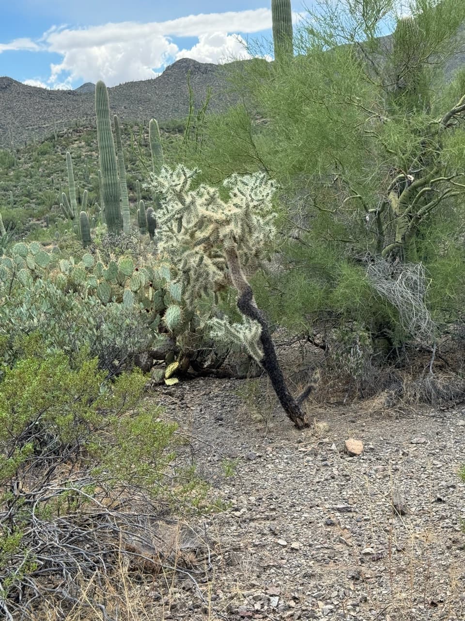 ModerateSweetwater Trail to the Ridge6.8 mi · 4 hr · At the trailheadReach the rocky ridge without taking the longer Wasson Peak route.
 EasyAbington Short Loop2.4 mi · 1.5 hr · 2 mi awayA short cactus-country circuit strings together three named trails.
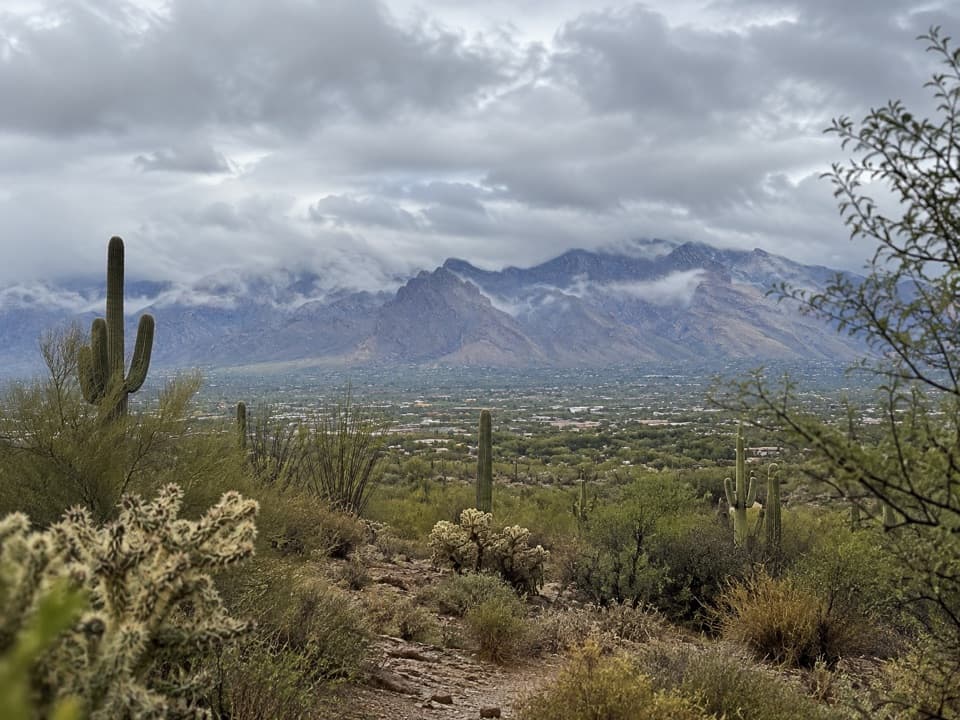 ModerateAbington Long Loop5.4 mi · 2.7 hr · 2.1 mi awayA longer desert loop linking Abington and Coyote Pass.
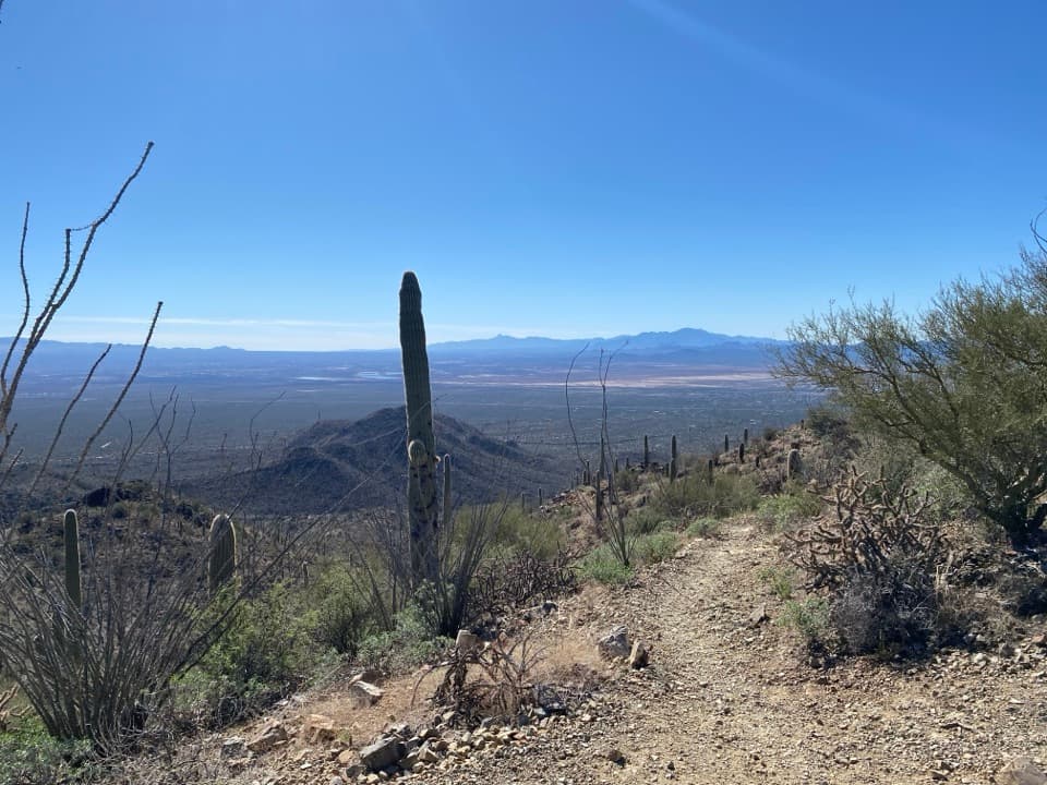 ChallengingSendero Esperanza to Wasson Peak8 mi · 5 hr · 2.7 mi awayClimb to the Tucson Mountains' 4,687-foot high point.
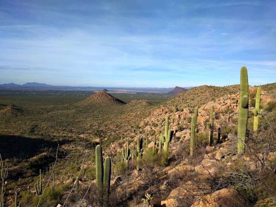 ChallengingSendero Esperanza Trail Big Loop8.5 mi · 5.5 hr · 2.7 mi awayAn 8.5-mile desert loop linking ridge views and sandy washes.
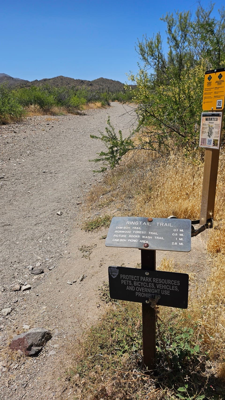 EasyRingtail Loop3.4 mi · 3 hr · 2.7 mi awayA varied cactus-country loop with one sandy wash to work through.ModerateSendero Esperanza to the Ridgeline3.4 mi · 2 hr · 2.7 mi awayA sandy start gives way to switchbacks and wide valley views.Sight · 1.9 mi awayWasson PeakA hard-earned summit puts Tucson and two mountain ranges in view.
 Picnic area · 2.7 mi awaySendero Esperanza Picnic AreaA simple picnic stop at the end of Golden Gate Road
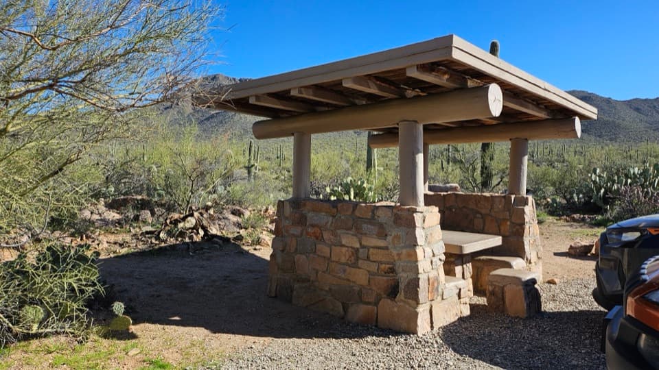 Picnic area · 2.8 mi awayEz-Kim-In-Zin Picnic AreaA stone shelter turns a desert picnic into a proper stop.
 Picnic area · 3.2 mi awayMam-A-Gah Picnic AreaA covered picnic stop with desert views, nearly a mile uphill.
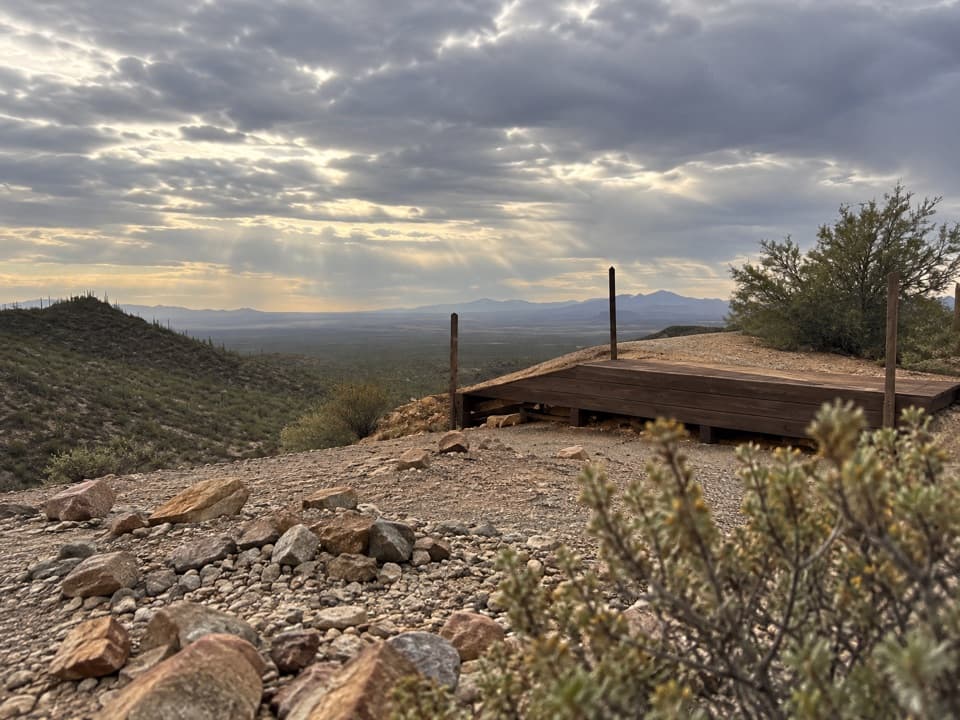 Sight · 3.4 mi awayGould MineCopper mine ruins reached by a desert hike.
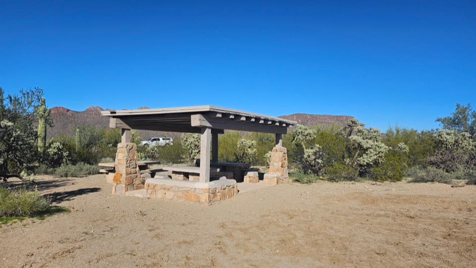 Picnic area · 3.4 mi awayCam-Boh Picnic AreaA shaded meal stop with Panther and Safford peaks to the north.
 Sight · 4.2 mi awayArizona-Sonora Desert MuseumA living field guide to the Sonoran Desert on a cactus-covered hillside.
 Sight · 4.7 mi awayGates Pass OverlookA desert sunset, a stone CCC landmark, no hike to the view.
Parkwolf’s Saguaro ranking

The audio tour guide for the drive, plus offline maps, trails, and wildlife heatmaps for when the signal drops.





