Parking
Park in the Red Hills Visitor Center lot off North Kinney Road, then follow signs around the building to the south entrance of the wash trail.
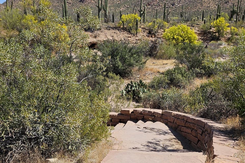
Saguaro National Park, AZ
A short wash loop for sand, burrows, and desert detail.
Overview
Map & elevation
Plan your hike

The highest, rockiest slopes around here are a summer buffet for grizzly bears.
Saguaro Tour Guide
Parkwolf is a GPS audio tour guide for Saguaro National Park. As you drive, it chimes in with what’s ahead: hidden gems, upcoming stops, history, geology, and wildlife, right through your car’s speakers.
See the Saguaro audio tourRecorded for this trailhead
Red Hills Visitor Center“Up ahead is Red Hills Visitor Center, a useful stop for trail advice and a closer look at the west district's desert.”
Plays as you drive up to this trailhead in the Parkwolf Saguaro Tour Guide.
More stories near here in the app
“Fantastic app with many points of information… It’s great to just turn on while you’re driving and it gives you an audio tour of the national Park. We love it!!!!”


Trail guide
Javelina Wash Trail is a short loop behind Red Hills Visitor Center, crossing a sandy wash and returning on footpaths beside the building. The mapped circuit is about 0.28 mile and takes roughly 20–30 minutes with stops. Distance estimates conflict: the south entrance sign says 600 feet, while another published description says 600 yards, so treat the printed figure as approximate. This is an easy way to look closely at Sonoran Desert habitat, not a long hike or a viewpoint walk.
The wash is a dry streambed that carries sudden monsoon runoff. Its sandy, rocky floor and eroded banks make a close-up habitat walk: watch for tracks and scat, and look at the burrows cut into the banks. Interpretive stops point out lizards, butterflies, and the sheet-like webs of harmless funnel-web spiders. A wildlife camera along the route has documented javelinas, mule deer, cottontails, jackrabbits, coyotes, gray foxes, bobcats, and mountain lions; those records show what uses the wash, not what you are certain to see.
Park at Red Hills Visitor Center and follow the signs around the building to the south entrance. The visitor center has restrooms and water fountains; there are no restaurants or food concessions inside the park. Park admission is required, and pets are not allowed on this trail. The self-guided “Signs of Life in the Desert” tour adds context to the habitat stops.
Wildlife
 19 sightingsBlack BearMost seen around 6 AMSighting map
 56 sightingsMountain LionMost seen around 6 AMSighting map
 266 sightingsMule DeerMost seen around 6 PMSighting map
 113 sightingsCollared PeccaryMost seen around 6 PMSighting map
 53 sightingsBobcatMost seen around 6 AMSighting map
 127 sightingsCoyoteMost seen around 6 PMSighting map
Sighting maps show where each species has been reported across Saguaro. Wildlife moves, so no sighting is guaranteed.
Keep exploring
 EasyDesert Discovery Trail0.4 mi · 30 min · 0.9 mi awayA gentle paved loop among saguaros, with signs about desert life.
 ModerateHugh Norris Big Loop6.6 mi · 4 hr · 1.2 mi awayDesert ridgeline views, sharp switchbacks, and a loop through two washes.
 ChallengingHugh Norris Trail to Wasson Peak10 mi · 5.8 hr · 1.2 mi awayA cactus-lined climb to the broad, bare summit of Wasson Peak.
 EasyBajada Wash Trail4 mi · 2 hr · 1.4 mi awayA sandy wash walk among saguaros below close desert hills.
 EasyValley View Overlook Nature Trail0.8 mi · 36 min · 1.6 mi awayWash crossings lead to a wide desert view with ridge benches.
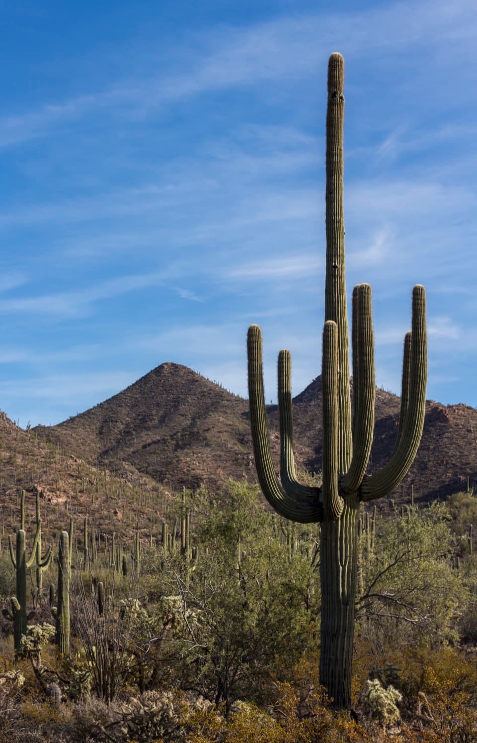 EasyWild Dog Trail1.8 mi · 1.2 hr · 1.6 mi awayA 1.8-mile desert walk from Valley View to the Signal Hill turnoff.
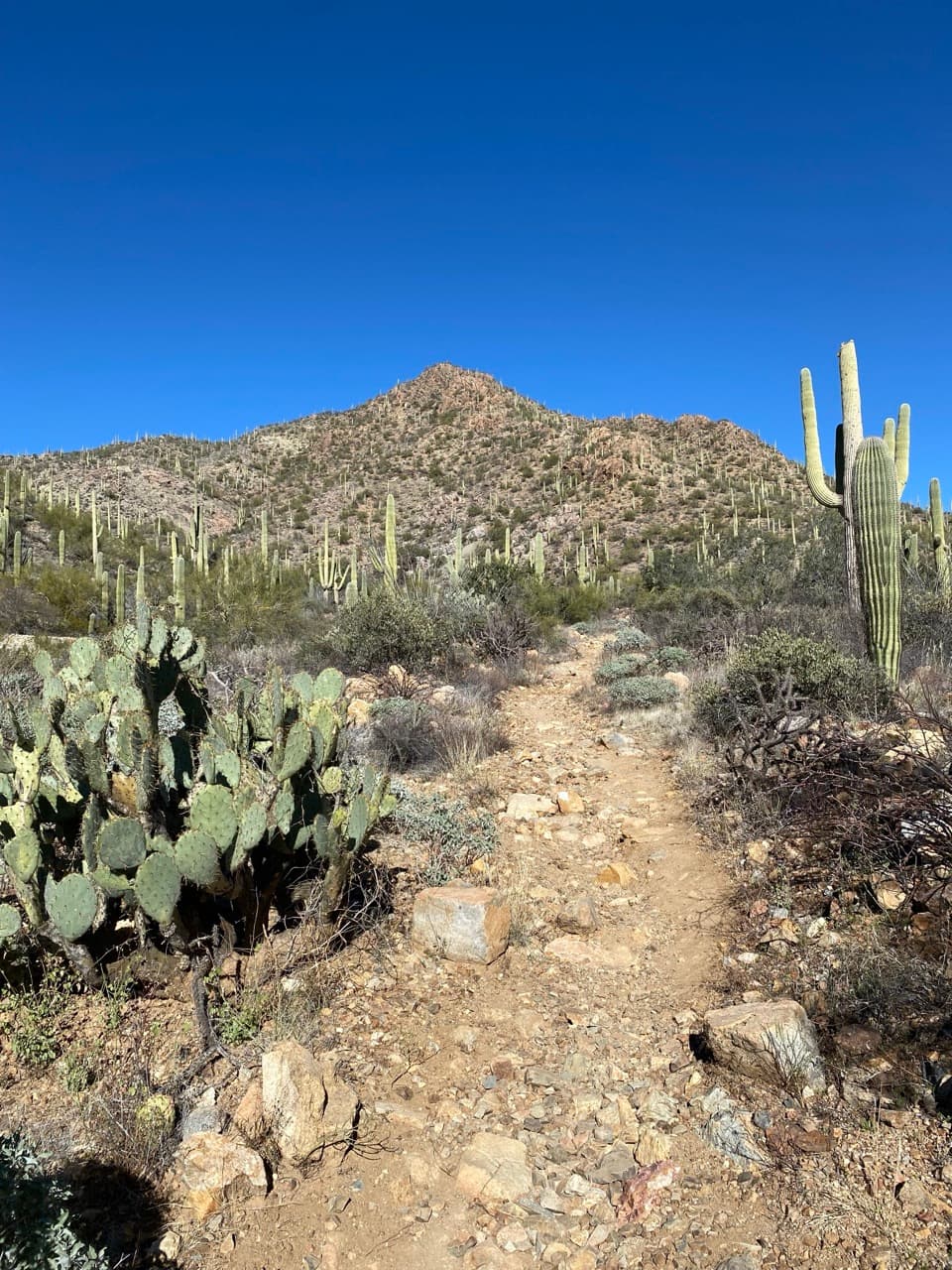 EasyGould Mine Trail2.2 mi · 1.3 hr · 1.9 mi awayA climb through cactus scrub ends at an old copper mine.
 ChallengingWasson Peak via King Canyon and Gould Mine Loop7.8 mi · 5 hr · 1.9 mi awayA rocky climb to big summit views above Tucson's saguaro forest.
 Visitor center · At the trailheadRed Hills Visitor CenterStart here for desert exhibits, trail advice, and Red Hills views.
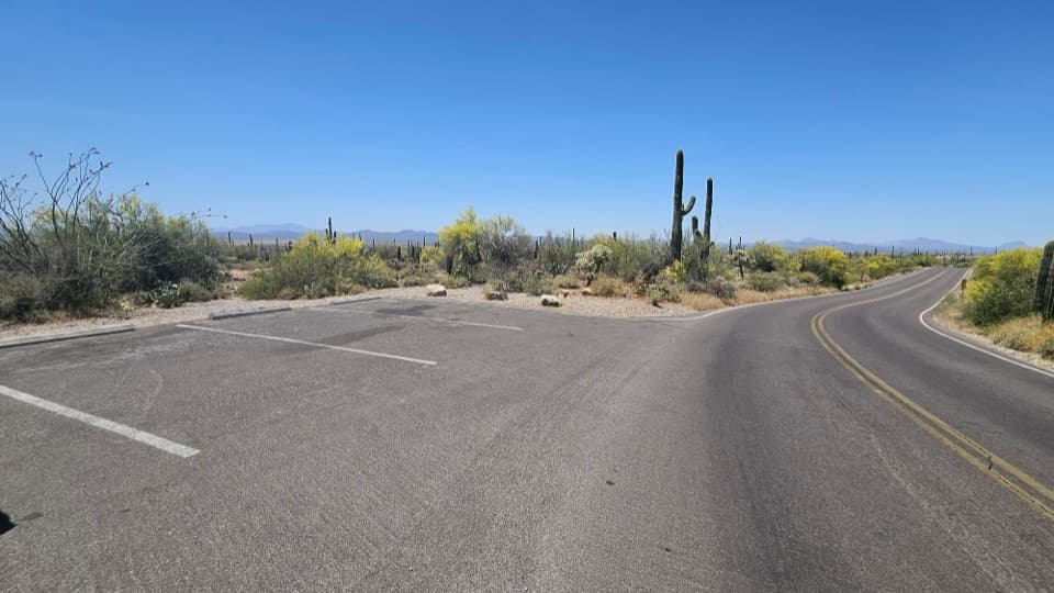 Scenic pullout · 0.3 mi awayKinney Road Sunset PulloutA quick sunset stop with only four parking spaces.
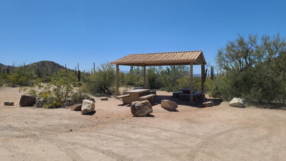 Picnic area · 1.4 mi awaySus Picnic AreaA shaded picnic stop with a little CCC history.Sight · 1.6 mi awayValley View OverlookA short cactus walk opens onto Avra Valley and its distant ridges.
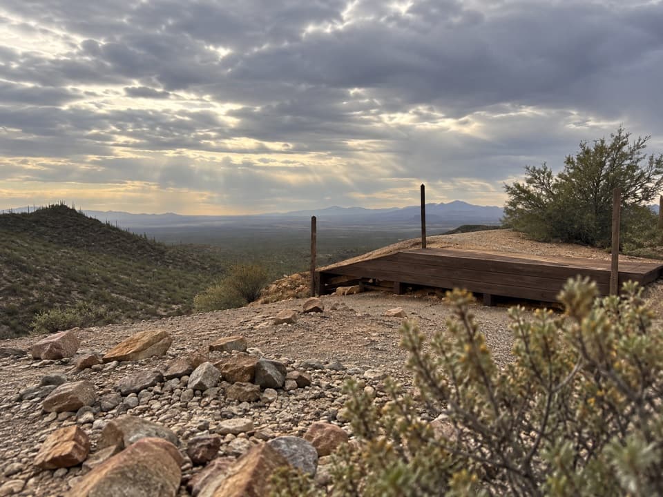 Sight · 1.9 mi awayGould MineCopper mine ruins reached by a desert hike.
 Sight · 2 mi awayArizona-Sonora Desert MuseumA living field guide to the Sonoran Desert on a cactus-covered hillside.
 Picnic area · 2.2 mi awayMam-A-Gah Picnic AreaA covered picnic stop with desert views, nearly a mile uphill.
 Sight · 2.5 mi awaySignal HillMore than 200 Hohokam petroglyphs on a short desert hill walk.
Parkwolf’s Saguaro ranking

The audio tour guide for the drive, plus offline maps, trails, and wildlife heatmaps for when the signal drops.


