Parking
Start at Tar Gap Trailhead in Cold Spring Campground off Mineral King Road. The park lists car parking, a picnic table, a toilet and potable water at the trailhead; parking capacity and seasonal availability were not found.

Sequoia National Park, CA
A long Sierra climb through lakes and forest to Hockett Meadow.
Overview
Map & elevation
Plan your hike

The highest, rockiest slopes around here are a summer buffet for grizzly bears.
Sequoia Tour Guide
Parkwolf is a GPS audio tour guide for Sequoia National Park. As you drive, it chimes in with what’s ahead: hidden gems, upcoming stops, history, geology, and wildlife, right through your car’s speakers.
See the Sequoia audio tourRecorded for this trailhead
Cold Springs Campground and Nature Trail“Cold Springs Campground is coming up, a tent-only base among aspens and conifers at about seventy-five hundred feet.”
Plays as you drive up to this trailhead in the Parkwolf Sequoia Tour Guide.
More stories near here in the app
“…The kids and my husband and I all agree that the narration really added to our experience driving through the parks. We learned so much about the history and the flora & fauna.”


Trail guide
Tar Gap is a high-country out-and-back from Cold Spring Campground to Hockett Meadow. The mapped trail reaches the meadow’s north edge by the ranger station after about 9.3 miles one way, or 18.6 miles round trip. This is a full-day hike; allow about ten hours. The distance is unsettled: the NPS trailhead panel lists 10.9 miles one way and the park’s wilderness trail table says 12. Until a current map confirms the full route, plan for the longer posted distance.
The park describes a moderate climb through forest and lakes to alpine views, and notes that stock users travel this route. The route climbs onto the Hockett Plateau before reaching the meadow. There are no well-supported named stops or detailed crossing locations to promise along the way, so use a current wilderness map for navigation.
The meadow is a broad subalpine opening at about 8,499 feet. A low historic ranger station stands nearby, and late June into July is a usual wildflower season. Mule deer are reported grazing in the meadow, though sightings are never guaranteed. Tar Gap is one of several routes to Hockett Meadow; this description follows the approach from Cold Spring, not the Atwell-Hockett Trail.
Deer Creek is the first campsite, about 4 miles from Cold Spring. Turning there makes an 8-mile round trip and gives you a shorter version of the forest-and-lake walk without continuing to the plateau and meadow. Overnight camping requires a wilderness permit.
Begin at Tar Gap Trailhead in Cold Spring Campground off Mineral King Road. The trailhead has parking, a picnic table, a toilet and drinking water listed by the park. Pets are not allowed on park trails; service dogs are permitted. Any overnight trip in designated wilderness needs a permit, and the quota dates and process change by season, so check current permit information before planning to camp.
Wildlife
 691 sightingsBlack BearMost seen around 6 PMSighting map
 17 sightingsMountain LionMost seen around 6 AMSighting map
 18 sightingsBobcatMost seen around 7 PMSighting map
 24 sightingsCoyoteMost seen around 7 PMSighting map
 15 sightingsGolden EagleMost seen around 11 AMSighting map
 20 sightingsSpotted OwlMost seen around 7 PMSighting map
Sighting maps show where each species has been reported across Sequoia. Wildlife moves, so no sighting is guaranteed.
Keep exploring
 ModerateCold Springs Nature Trail2.4 mi · 2 hr · 0.2 mi awayA gentle river walk to Mineral King's historic mining site.
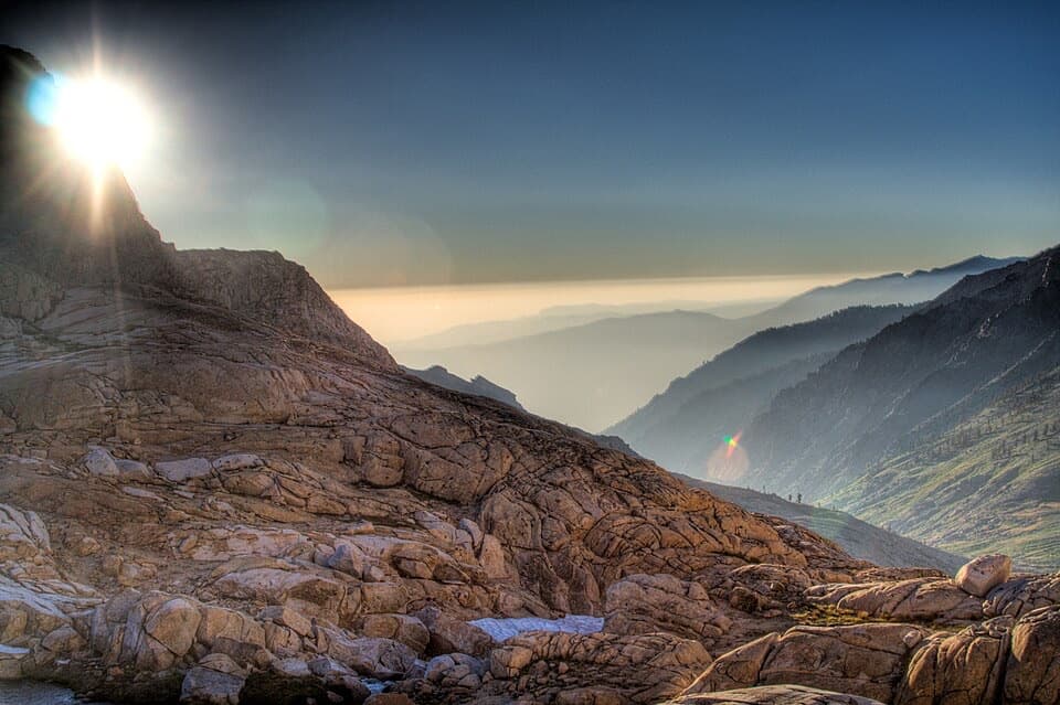 ChallengingSawtooth Pass Trail11 mi · 9 hr · 1 mi awayA high, rough climb above Monarch Lakes to Sawtooth Pass.
 ChallengingBig Five and Little Five Lakes Loop31.2 mi · 1.3 days · 1 mi awayTwo lake basins, two high passes, and a real backpacking test
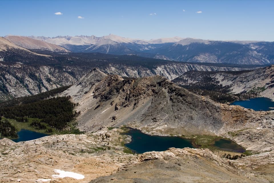 ChallengingBlack Rock Pass Trail23 mi · 17.5 hr · 1 mi awayA 23-mile climb to a pass between the Five Lakes basins
 ChallengingTimber Gap Trail4.5 mi · 3.5 hr · 1 mi awayA steep climb to a red-fir pass above Mineral King.
 ChallengingCrystal Lake Trail9.8 mi · 6.5 hr · 1 mi awayA hard climb to a small 1900s dam beneath high Sierra walls.
 ChallengingEagle Lake Trail6.8 mi · 4.5 hr · 1.1 mi awayA steep, rocky climb to a high lake above Mineral King.
 ChallengingMosquito Lake Trail7.2 mi · 4.5 hr · 1.1 mi awayA mountain lake above Mineral King, reached by a steady climb.
 Campground · At the trailheadCold Springs CampgroundA quiet, tent-only base for Mineral King hikes.
 Ranger station · 0.2 mi awayMineral King Ranger StationA useful stop for maps, permits, trail advice, and marmot tarps.
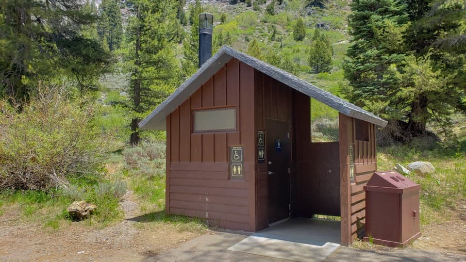 Restroom · 1 mi awayEagle-Mosquito Trailhead RestroomA practical restroom before the strenuous Eagle and Mosquito Lakes hikes.
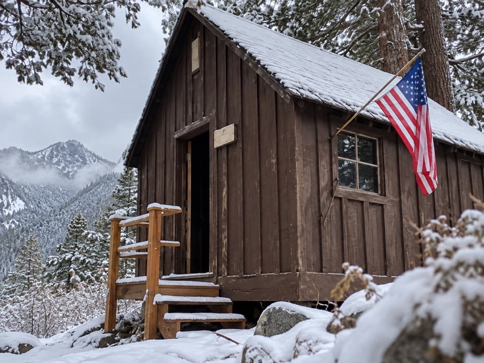 Sight · 1.1 mi awayHoneymoon CabinA cabin shifted eight to ten feet in a slow snow slide.
 Sight · 2.1 mi awayMosquito LakesA small alpine lake reached by a long Mineral King climb
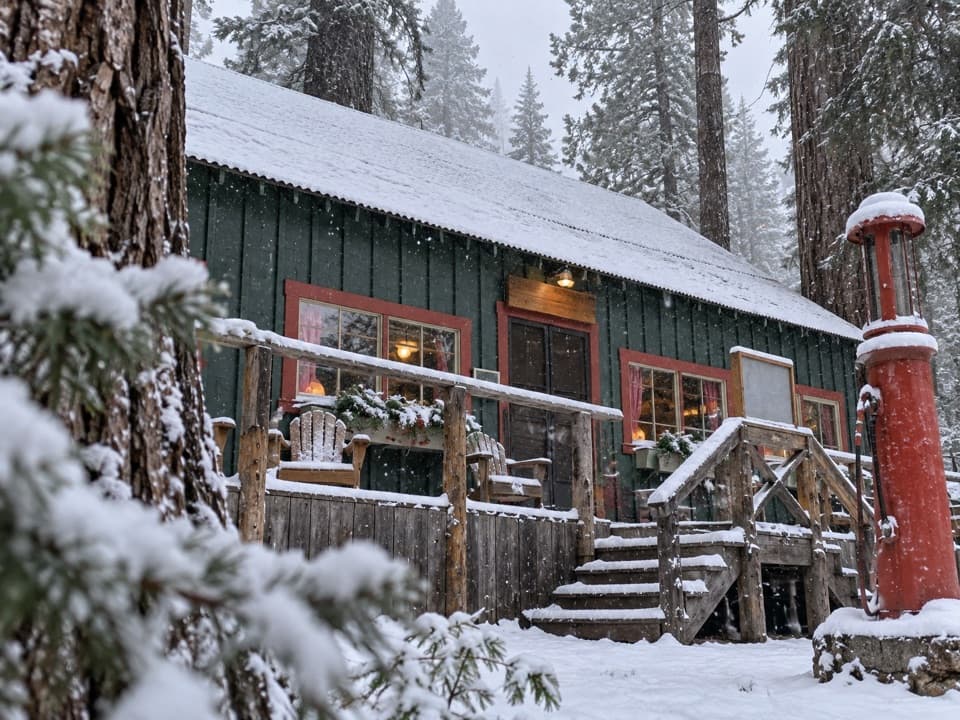 Lodging · 2.2 mi awaySilver City Mountain ResortA patio slice and a small market after the long climb.
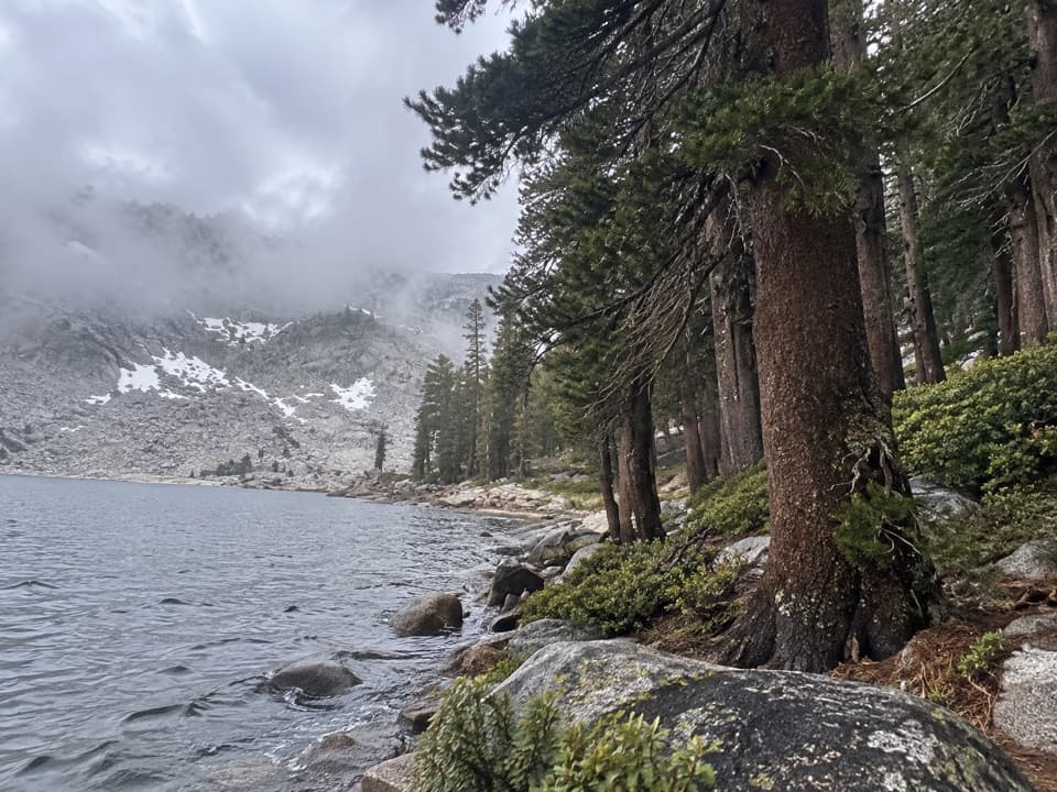 Sight · 2.4 mi awayEagle LakeBlue water at the end of a steep Mineral King hike.
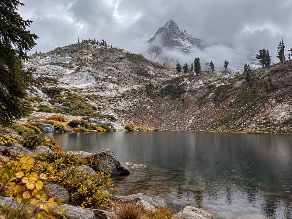 Sight · 2.7 mi awayMonarch LakesTwo alpine lakes below Sawtooth Peak after a hard climb.
Parkwolf’s Sequoia ranking

The audio tour guide for the drive, plus offline maps, trails, and wildlife heatmaps for when the signal drops.





