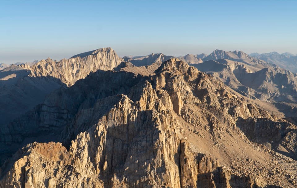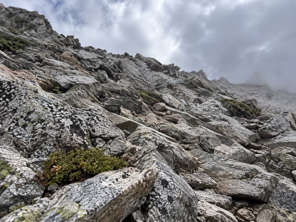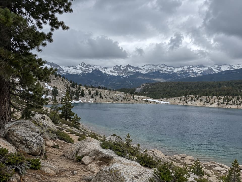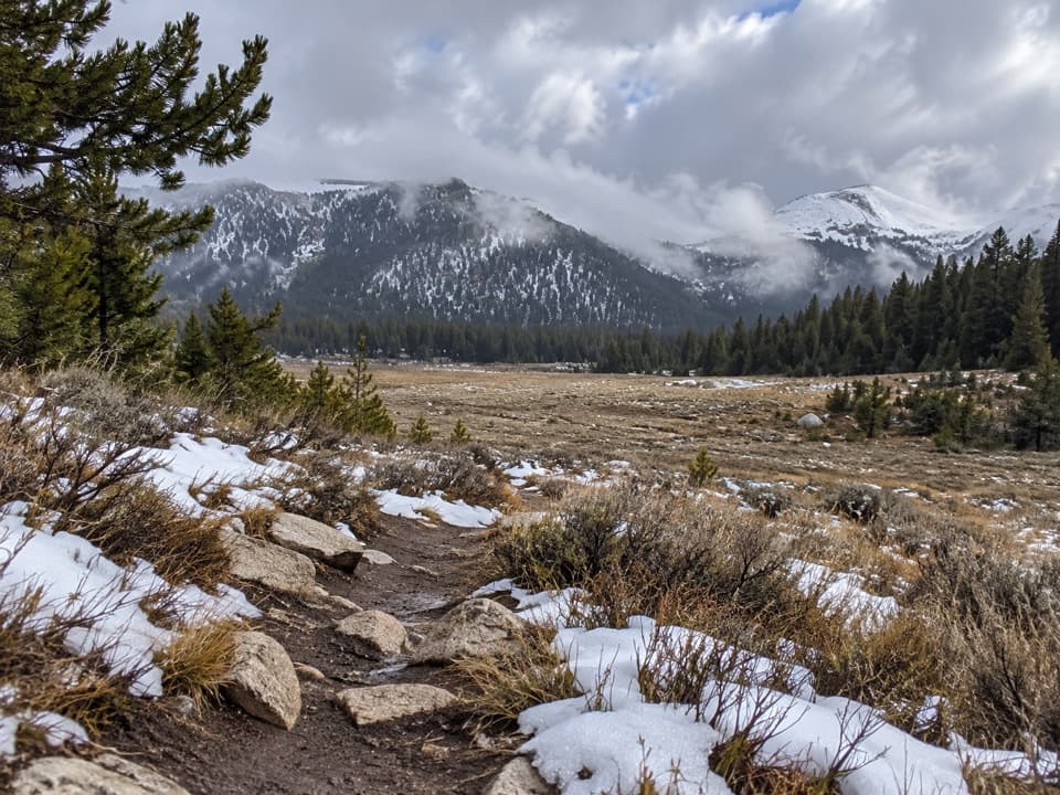
Cottonwood Pass Trail in Sequoia National Park

Sequoia National Park, CA

Cottonwood Pass Trail

A high-altitude climb from meadow to a Sierra pass.

Length
7.6mi
Time
4hr
Elev. change
1,283ft
Difficulty
Moderate
  • Dogs allowed
  • High point 11,194 ft
Parkwolf audio tour71 stories across Sequoia’s roads

Overview

About Cottonwood Pass Trail

Why go

  • Broad meadow and Sierra ridge views
  • A satisfying pass and PCT destination
  • No wilderness permit for a day hike

Heads up

  • High starting elevation makes the climb feel harder
  • Out-and-back route with no loop

Map & elevation

The route

Loading the Sequoia map
Full map
Elevation9,911–11,194 ft
TrailheadCottonwood Pass / Trail Pass Trailhead at Horseshoe Meadow36.44834, -118.17065
Keep this map with you offline in the Parkwolf app

Plan your hike

Before you go

Parking

Use the Cottonwood Pass / Trail Pass Trailhead at the east end of Horseshoe Meadow. Bear lockers and trash receptacles are at the lot; store food, trash and scented items there instead of in your vehicle. Horseshoe Meadows Road is usually open from around Memorial Day into early November, depending on snow, so check road access before driving up.

Safety

The trail starts near 10,000 feet and reaches about 11,200 feet. The altitude can make the steady climb feel strenuous. Treat natural water. Day hikers do not need a wilderness permit; overnight trips require one year-round. Dogs are allowed on leash in Inyo National Forest but are prohibited on Sequoia National Park trails beyond the boundary.

8 active Sequoia alerts

  • CautionStage 1 fire restrictionsStage 1 fire restrictions are in effect due to high fire danger and catastrophic-wildfire risk; the restrictions reduce the possibility of accidental human-caused fires that could threaten visitors…Official details
  • ClosureGrant Grove trails and areas closed for prescribed burnSome trails and areas around Grant Grove and the General Grant Tree are closed for safety during a prescribed burn and until they are cleared of hazards.Official details
See all 8 alerts
A park ranger sits on a dash-mounted phone, talking, as Parkwolf’s Tour Guide plays “Army Cutworm Moths: A Grizzly Bear Buffet” on Grand Loop Road below Dunraven Pass in Yellowstone
Parkwolf Tour GuideThe highest, rockiest slopes around here are a summer buffet for grizzly bears.

Sequoia Tour Guide

Your drive to Cottonwood Pass Trail, narrated.

Parkwolf is a GPS audio tour guide for Sequoia National Park. As you drive, it chimes in with what’s ahead: hidden gems, upcoming stops, history, geology, and wildlife, right through your car’s speakers.

See the Sequoia audio tour
  • 71 audio storiesacross Sequoia’s roads, triggered by GPS as you drive
  • Wildlife heatmapsfor Black Bear, Mountain Lion, Bobcat, and 13 more
  • Works offlinemaps, 99 trails, 68 places, and audio download before you lose signal
  • CarPlay readysimple controls built for the drive
★★★★★
“…The kids and my husband and I all agree that the narration really added to our experience driving through the parks. We learned so much about the history and the flora & fauna.”
JessestblondeApp Store review
Download Parkwolf on the App StoreGet Parkwolf on Google Play

4.7 from 8,600+ ratings

Trail guide

Hiking Cottonwood Pass Trail

Cottonwood Pass and backCottonwood Pass Trail is a high-country out-and-back from Horseshoe Meadow to a broad Sierra…

Cottonwood Pass Trail is a high-country out-and-back from Horseshoe Meadow to a broad Sierra pass. It’s a good pick if you want a real climb and a pass destination without committing to an overnight trip. The mapped line is about 3.8 miles each way, or 7.6 miles round trip; some published estimates round it to 7 miles, so plan for the longer figure. Allow about four hours. You start around 10,000 feet and gain roughly 1,200 feet to the 11,200-foot pass. Pass-specific visitor reports praise the views, though the altitude makes this more work than the gradual opening suggests.

Follow the Cottonwood routeThe trail leaves the east end of Horseshoe Meadow over packed sand beside the meadow.

The trail leaves the east end of Horseshoe Meadow over packed sand beside the meadow. An early junction separates Trail Pass from the Cottonwood Pass route, so check the destination before choosing a branch; the Trail Pass loop is a different hike. The first couple of miles are fairly level through meadow and light forest, which makes the pass feel closer than it is.

Where the climb beginsPast the meadow, the route climbs on long switchbacks and the views open across the surrounding…

Past the meadow, the route climbs on long switchbacks and the views open across the surrounding ridges. Route descriptions mark two small creek crossings in this stretch, but at least one recent hiker reported no crossing, so the water may not be dependable or may vary with conditions. Treat any natural water. The trail’s high starting point matters: even a steady grade can feel strenuous when you’re already near 10,000 feet.

The pass is a junctionAt Cottonwood Pass, the trail meets the Pacific Crest Trail.

At Cottonwood Pass, the trail meets the Pacific Crest Trail. Turn around here for the pass-only hike in this listing. The Cottonwood route continues west into Golden Trout Wilderness, while the PCT leads toward southeastern Sequoia; Chicken Spring Lake is a separate extension beyond the pass. Don’t count those onward miles as part of this route. The wilderness takes its name from California’s state fish, the golden trout.

Access and rulesDay hikes from Horseshoe Meadow do not need a wilderness permit; overnight trips do.

Day hikes from Horseshoe Meadow do not need a wilderness permit; overnight trips do. Horseshoe Meadows Road is usually open from around Memorial Day into early November, depending on snow, so check access before the drive. Dogs are allowed on leash on the Inyo National Forest side, but not on Sequoia National Park trails beyond the boundary. Keep the pass hike within the Inyo side if you’re bringing a dog.

Wildlife

Wildlife in Sequoia

All Sequoia wildlife maps

Sighting maps show where each species has been reported across Sequoia. Wildlife moves, so no sighting is guaranteed.

Parkwolf’s Sequoia ranking

Top-rated trails in Sequoia

All 99 trails
  1. 1Congress TrailEasy · 2.7 mi
  2. 2General Sherman Tree TrailModerate · 1 mi
  3. 3Moro Rock TrailModerate · 0.5 mi
  4. 4High Sierra TrailChallenging · 48.9 mi
  5. 5Mount Whitney TrailChallenging · 22 mi
  6. 6Lakes Trail to Pear LakeChallenging · 12.8 mi

Take Parkwolf to Sequoia.

The audio tour guide for the drive, plus offline maps, trails, and wildlife heatmaps for when the signal drops.

4.7 from 8,600+ ratings

Download Parkwolf on the App StoreGet Parkwolf on Google Play