Parking
Use the Cottonwood Lakes Trailhead parking area at Horseshoe Meadows, reached by Horseshoe Meadows Road from Lone Pine. Bear-proof lockers and trash receptacles are at the parking area.
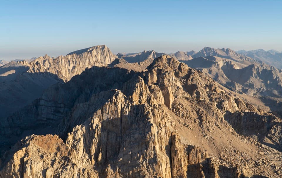
Sequoia National Park, CA
A 23 mile summit hike from Cottonwood Lakes via New Army Pass.
Overview
Mount Langley via New Army Pass is about a 23.3-mile out-and-back from Cottonwood Lakes Trailhead at Horseshoe Meadows to a 14,000-foot summit. The mapped corridor is about 11.7 miles each way. You start around 10,000 feet on Inyo National Forest land, cross into Sequoia at New Army Pass, then continue over to Old Army Pass and up the Mount Langley summit route. This is a serious high-altitude objective, not a short walk to the lakes. Set aside about 15 hours if you plan to do it in one push. If that sounds like too much, an overnight at the lakes breaks up the approach and gives you a better chance to adjust to the elevation. Published mileage varies with the route and starting point, so treat 23.3 as a planning estimate for this exact line.
 Parkwolf’s verdictIs this the hike for you?
Map & elevation
Plan your hike

The highest, rockiest slopes around here are a summer buffet for grizzly bears.
Sequoia Tour Guide
Parkwolf is a GPS audio tour guide for Sequoia National Park. As you drive, it chimes in with what’s ahead: hidden gems, upcoming stops, history, geology, and wildlife, right through your car’s speakers.
See the Sequoia audio tour“…The kids and my husband and I all agree that the narration really added to our experience driving through the parks. We learned so much about the history and the flora & fauna.”


Trail guide
The first three miles are mostly level, over soft granite sand, with a few creek crossings and log bridges. The trail then bends west and starts climbing into the Cottonwood Lakes basin. Long Lake and High Lake sit on the New Army Pass approach, with creeks and alpine scenery along the way. The lower stretch is a good reason to do this hike even if the summit is too much: you're already in high country before the hardest climbing begins.
From the lakes, the route climbs in switchbacks to New Army Pass. It is the longer crossing, but it is the easier and better-maintained choice for Mount Langley. After the pass, the trail drops a little to meet the route coming up from Old Army Pass, then turns toward the summit. That dip and re-climb are part of this itinerary; the direct Old Army Pass approach is a different, shorter route and is steeper, looser, and more likely to hold snow. Don't swap in that shortcut without checking conditions and confirming the route you intend to follow.
Beyond the pass connection, the trail gets rougher. Large cairns guide you across a boulder-strewn slope and onto a broad, rocky summit plateau. Keep track of the cairns: the upper route is not a smooth, obvious tread, and poor visibility makes route-finding harder. Take your time on the uneven rock and turn around if you can't keep the marked line in sight. This is a long climb above 14,000 feet, so the altitude adds real work even when the trail looks manageable on a map.
Mount Langley is the southernmost of California's fourteeners. The summit looks across the high Sierra toward Mount Whitney, Mount Muir, Mount Russell, and a long run of rugged peaks. For a photo, leave some of the pale summit rock in the foreground so the depth of the ridges shows. Down below, the Cottonwood Lakes are home to California's state fish, the golden trout.
Start at Cottonwood Lakes Trailhead in Horseshoe Meadows, reached by Horseshoe Meadows Road from Lone Pine. Bear-proof lockers and trash receptacles are provided at the parking area; from Memorial Day weekend through October, store food, trash, and scented items in bear-proof containers. Day use does not require a wilderness permit, but overnight trips do, and the seasonal overnight quota runs May 1 through November 1. Groups in the Mount Langley area are limited to eight. The route starts outside Sequoia, but once it crosses into the park, pets are not allowed on trails; leave dogs behind for the full hike. Snow can linger near the passes into summer, so check current conditions before setting out.
Wildlife
 691 sightingsBlack BearMost seen around 6 PMSighting map
 17 sightingsMountain LionMost seen around 6 AMSighting map
 18 sightingsBobcatMost seen around 7 PMSighting map
 24 sightingsCoyoteMost seen around 7 PMSighting map
 15 sightingsGolden EagleMost seen around 11 AMSighting map
 20 sightingsSpotted OwlMost seen around 7 PMSighting map
Sighting maps show where each species has been reported across Sequoia. Wildlife moves, so no sighting is guaranteed.
Keep exploring
 ChallengingNew Army Pass Trail16.4 mi · 9.5 hr · At the trailheadA long Sierra day to alpine lakes and a high pass.
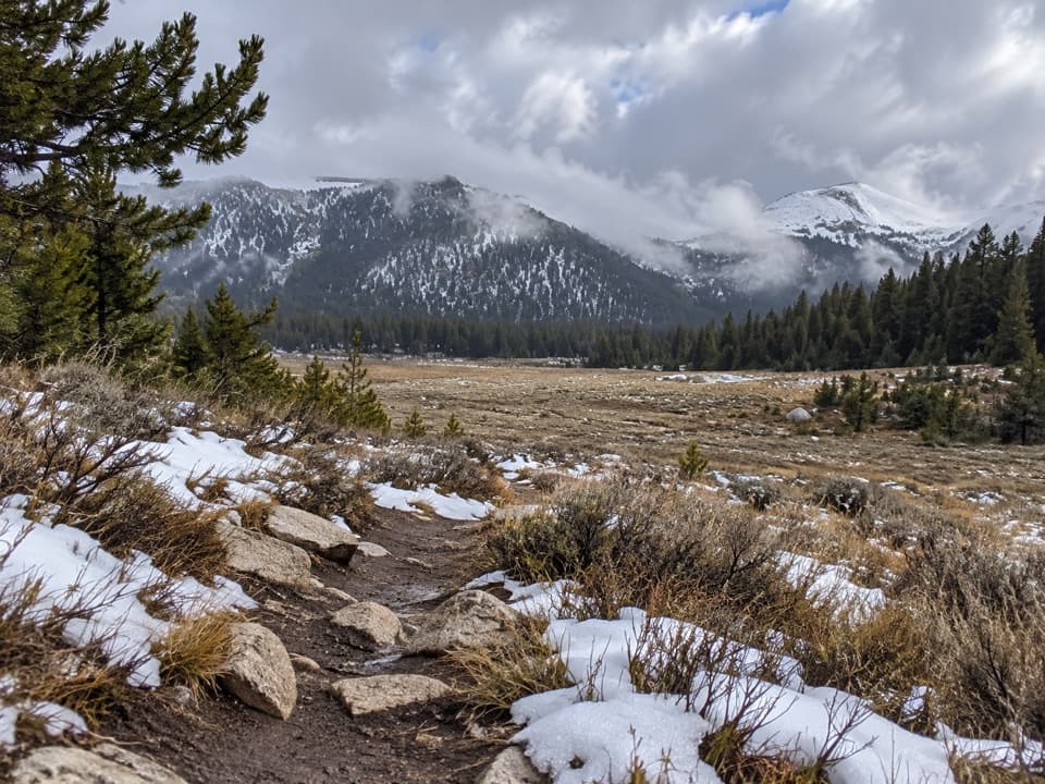 ModerateCottonwood Pass Trail7.6 mi · 4 hr · 0.3 mi awayA high-altitude climb from meadow to a Sierra pass.
 ChallengingLower Soldier Lake Trail via Cottonwood Pass20.1 mi · 11 hr · 0.3 mi awayA hard high-country out-and-back to a granite-ringed alpine lake.
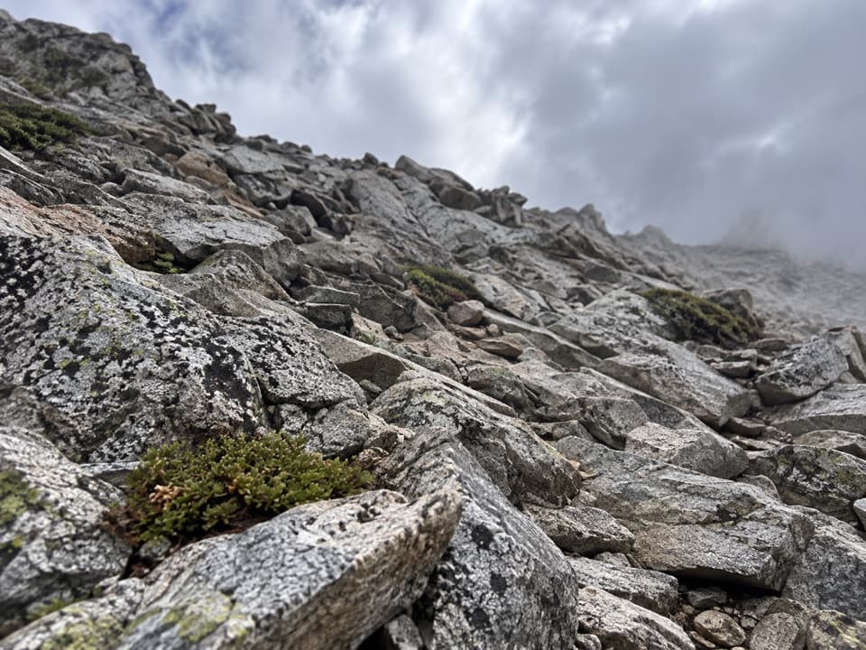 ChallengingPacific Crest Trail: Cottonwood Pass to Forester Pass29.3 mi · 1 day · 2.6 mi away29.3-mile high-country PCT route from Cottonwood Pass to Forester Pass
 ChallengingOld Army Pass Trail1.2 mi · 2 hr · 4.6 mi awayA rough, high pass climb with Cottonwood Lakes far below.
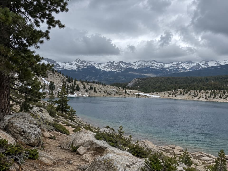 ChallengingFunston Lake Trail6.8 mi · 5.5 hr · 7.3 mi awayAn unmaintained high-country spur to Funston Lake.
 ChallengingRock Creek Trail4.7 mi · 4 hr · 8.8 mi awayFollow Rock Creek's meadows to a lake and a steep finish.
 ChallengingMount Whitney Trail22 mi · 14 hr · 10 mi awayA 22-mile alpine climb to the highest summit in the lower 48.
Parkwolf’s Sequoia ranking
The audio tour guide for the drive, plus offline maps, trails, and wildlife heatmaps for when the signal drops.




