Parking
Use the Cottonwood Pass trailhead at the east end of Horseshoe Meadow Campground, reached by Horseshoe Meadow Road. The Cottonwood Lakes trailhead is a separate access for the New Army Pass route.

Sequoia National Park, CA
A hard high-country out-and-back to a granite-ringed alpine lake.
Overview
Map & elevation
Plan your hike

The highest, rockiest slopes around here are a summer buffet for grizzly bears.
Sequoia Tour Guide
Parkwolf is a GPS audio tour guide for Sequoia National Park. As you drive, it chimes in with what’s ahead: hidden gems, upcoming stops, history, geology, and wildlife, right through your car’s speakers.
See the Sequoia audio tour“…The kids and my husband and I all agree that the narration really added to our experience driving through the parks. We learned so much about the history and the flora & fauna.”


Trail guide
This record follows the Cottonwood Pass approach to Lower Soldier Lake as an out-and-back: about 20.1 miles round trip, with the mapped corridor stored once at about 10.1 miles. The route climbs above 11,000 feet before descending into the lake basin. Allow roughly 10–12 hours; this remote, strenuous hike is for fit hikers accustomed to long days at altitude. A separate New Army Pass loop returns by a different trail and uses a second trailhead, so it is not part of this route.
From Horseshoe Meadow, climb about 1,200 feet over the first 3.5 miles to Cottonwood Pass, then follow the Pacific Crest Trail past Chicken Spring Lake. A rocky rise opens views toward the lake and Big Whitney Meadow. The route reaches roughly 11,440 feet before descending toward Siberian Outpost.
Past Siberian Outpost, the route continues through mostly level lodgepole and foxtail pine forest, with creek crossings, to the meadow by Lower Soldier Lake. Follow the lake-bound path at junctions; branches toward Upper Soldier Lake or Miter Basin are separate hikes. The mapped line ends at the meadow edge roughly 275 feet from the mapped lake shore, so the final approach to the water is not represented in the trace.
The forested Rock Creek stretch includes ancient foxtail pines, recognizable by their weathered, golden-red trunks. Lower Soldier Lake sits in a high granite basin, with a broad mountain backdrop and reflections on calm water. From the meadow edge, frame the shore with the granite slopes behind it.
Start at the Cottonwood Pass trailhead at the east end of Horseshoe Meadow Campground, reached by Horseshoe Meadow Road. Cottonwood Lakes trailhead is a separate access for the New Army Pass approach. Day use requires no wilderness permit; overnight trips require one year-round, and entry is quota-controlled from May 1 through November 1. Soldier Lakes has a two-night camping limit. Treat natural water. Campfires are prohibited in Cottonwood Lakes Basin and above 10,400 feet. From Memorial Day weekend through October 31, store food, trash and scented items in bear-proof storage; trailhead lockers are available. Pets are prohibited on the Sequoia National Park trail sections; service animals are allowed.
Wildlife
 691 sightingsBlack BearMost seen around 6 PMSighting map
 17 sightingsMountain LionMost seen around 6 AMSighting map
 18 sightingsBobcatMost seen around 7 PMSighting map
 24 sightingsCoyoteMost seen around 7 PMSighting map
 15 sightingsGolden EagleMost seen around 11 AMSighting map
 20 sightingsSpotted OwlMost seen around 7 PMSighting map
Sighting maps show where each species has been reported across Sequoia. Wildlife moves, so no sighting is guaranteed.
Keep exploring
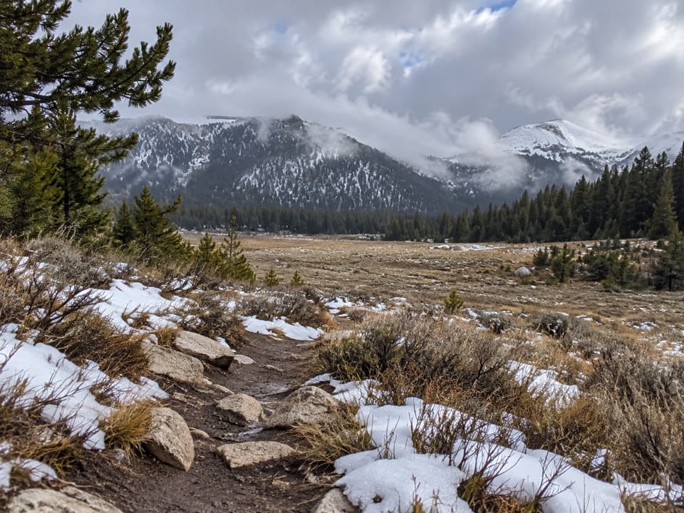 ModerateCottonwood Pass Trail7.6 mi · 4 hr · At the trailheadA high-altitude climb from meadow to a Sierra pass.
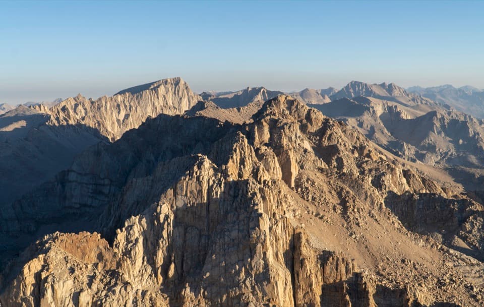 ChallengingMount Langley via New Army Pass23.3 mi · 15 hr · 0.3 mi awayA 23 mile summit hike from Cottonwood Lakes via New Army Pass.
 ChallengingNew Army Pass Trail16.4 mi · 9.5 hr · 0.3 mi awayA long Sierra day to alpine lakes and a high pass.
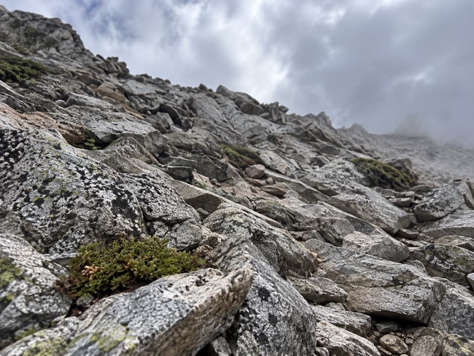 ChallengingPacific Crest Trail: Cottonwood Pass to Forester Pass29.3 mi · 1 day · 2.5 mi away29.3-mile high-country PCT route from Cottonwood Pass to Forester Pass
 ChallengingOld Army Pass Trail1.2 mi · 2 hr · 4.8 mi awayA rough, high pass climb with Cottonwood Lakes far below.
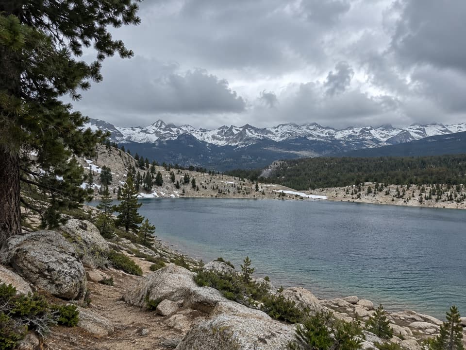 ChallengingFunston Lake Trail6.8 mi · 5.5 hr · 7.4 mi awayAn unmaintained high-country spur to Funston Lake.
 ChallengingRock Creek Trail4.7 mi · 4 hr · 8.9 mi awayFollow Rock Creek's meadows to a lake and a steep finish.
 ChallengingMount Whitney Trail22 mi · 14 hr · 10.3 mi awayA 22-mile alpine climb to the highest summit in the lower 48.
Parkwolf’s Sequoia ranking

The audio tour guide for the drive, plus offline maps, trails, and wildlife heatmaps for when the signal drops.




