Big Arroyo Trail in Sequoia National Park

Sequoia National Park, CA

Big Arroyo Trail

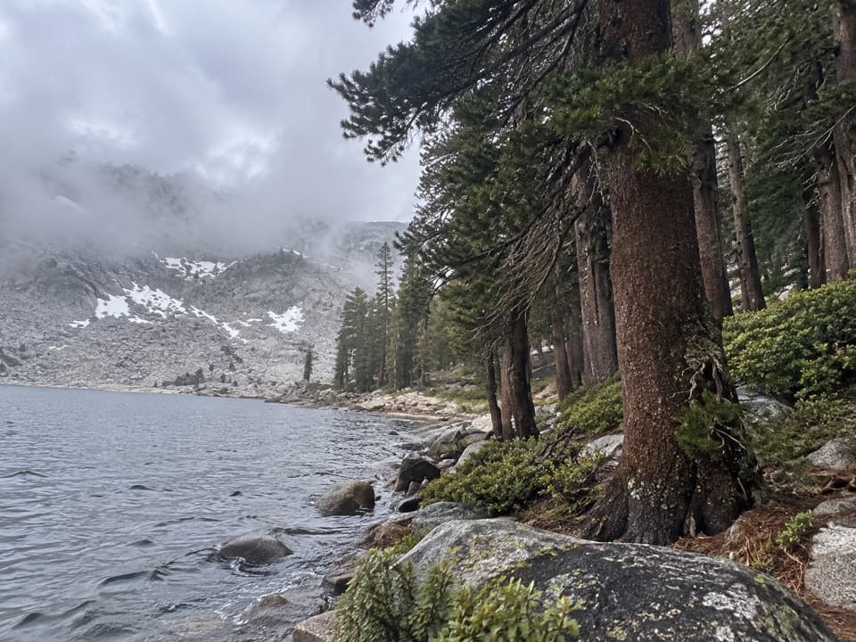
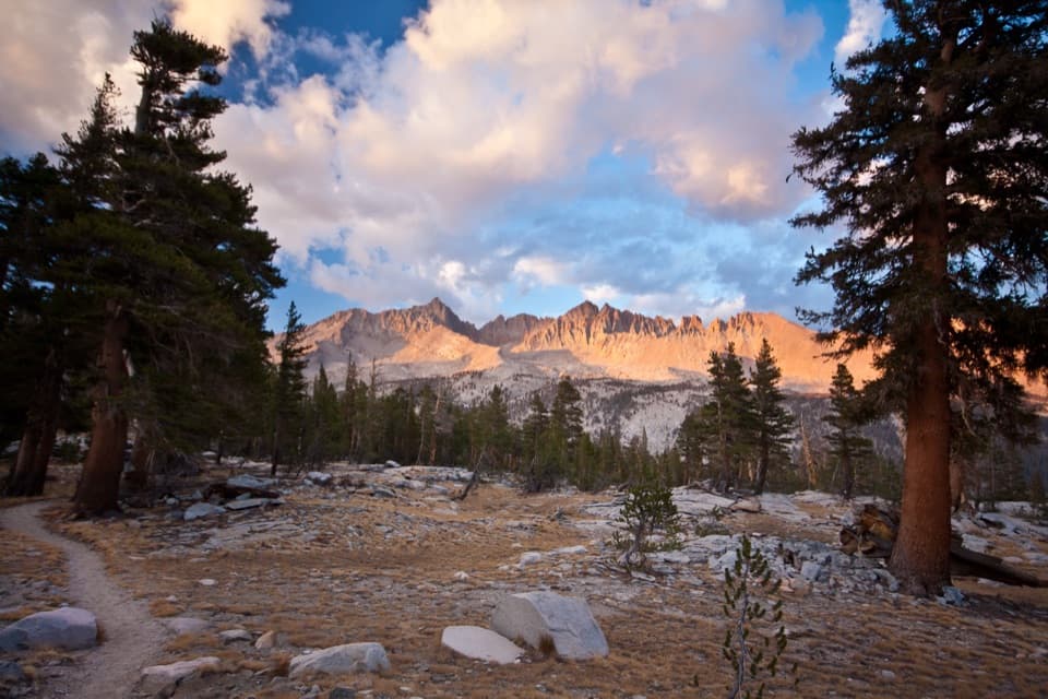
A remote 8.8-mile route from Kaweah Gap to Little Five Lakes.

Photo: Wikimedia Commons
Length
8.8mi
Time
8hr
Elev. change
2,392ft
Difficulty
Challenging
  • No dogs
  • High point 10,472 ft
Parkwolf audio tour71 stories across Sequoia’s roads

Overview

About Big Arroyo Trail

Why go

  • Connects the High Sierra Trail with Little Five Lakes country.
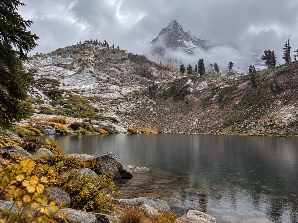
  • Open high-country views into Big Arroyo and the Kaweah peaks.

Heads up

  • Remote point-to-point route with no road access at either end.
  • Faint, informal sections demand confident navigation.

Map & elevation

The route

Loading the Sequoia map
Full map
Elevation8,081–10,472 ft
TrailheadKaweah Gap (High Sierra Trail)36.49305, -118.53623
Keep this map with you offline in the Parkwolf app

Plan your hike

Before you go

Parking

There is no drive-up trailhead. The west end is Kaweah Gap on the High Sierra Trail, about 20 trail miles from Crescent Meadow; the Little Five Lakes end is also deep in the backcountry. Plan a multiday point-to-point itinerary with a verified access and exit route.

Safety

Remote high-altitude route with sections that may be faint or hard to follow. Use a current topographic map and reliable navigation, and check snow and creek-crossing conditions before leaving. The High Sierra Trail permit is required on the approach between Seven Mile Hill and Kaweah Gap; an Alta Trail permit is not valid there. Overnight trips require a wilderness permit.

8 active Sequoia alerts

  • CautionStage 1 fire restrictionsStage 1 fire restrictions are in effect due to high fire danger and catastrophic-wildfire risk; the restrictions reduce the possibility of accidental human-caused fires that could threaten visitors…Official details
  • ClosureGrant Grove trails and areas closed for prescribed burnSome trails and areas around Grant Grove and the General Grant Tree are closed for safety during a prescribed burn and until they are cleared of hazards.Official details
See all 8 alerts
A park ranger sits on a dash-mounted phone, talking, as Parkwolf’s Tour Guide plays “Army Cutworm Moths: A Grizzly Bear Buffet” on Grand Loop Road below Dunraven Pass in Yellowstone
Parkwolf Tour GuideThe highest, rockiest slopes around here are a summer buffet for grizzly bears.

Sequoia Tour Guide

Your drive to Big Arroyo Trail, narrated.

Parkwolf is a GPS audio tour guide for Sequoia National Park. As you drive, it chimes in with what’s ahead: hidden gems, upcoming stops, history, geology, and wildlife, right through your car’s speakers.

See the Sequoia audio tour

More stories near here in the app

  • Sawtooth Trailhead and Monarch Lakes
  • Mineral King Trailheads and Honeymoon Cabin
  • Mineral King Ranger Station
  • Cold Springs Campground and Nature Trail
  • 71 audio storiesacross Sequoia’s roads, triggered by GPS as you drive
  • Wildlife heatmapsfor Black Bear, Mountain Lion, Bobcat, and 13 more
  • Works offlinemaps, 99 trails, 68 places, and audio download before you lose signal
  • CarPlay readysimple controls built for the drive
★★★★★
“…The kids and my husband and I all agree that the narration really added to our experience driving through the parks. We learned so much about the history and the flora & fauna.”
JessestblondeApp Store review
Download Parkwolf on the App StoreGet Parkwolf on Google Play

4.7 from 8,600+ ratings

Trail guide

Hiking Big Arroyo Trail

The routeBig Arroyo Trail is an 8.

Big Arroyo Trail is an 8.8-mile, one-way point-to-point wilderness route from Kaweah Gap on the High Sierra Trail to Little Five Lakes. It links remote parts of Sequoia rather than starting at a road or day-use trailhead. If you approach from Crescent Meadow, Kaweah Gap is about 20 trail miles in. There is no official distance for this full connection: 8.8 miles follows the best continuous mapped line, while official mileposts imply about 2.5 miles for only the Kaweah Gap–Big Arroyo Junction leg. Treat the full distance as approximate.

Into Big ArroyoKaweah Gap sits at 10,700 feet and opens into the broad Big Arroyo valley.

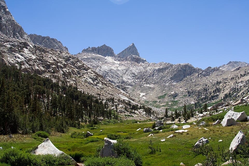
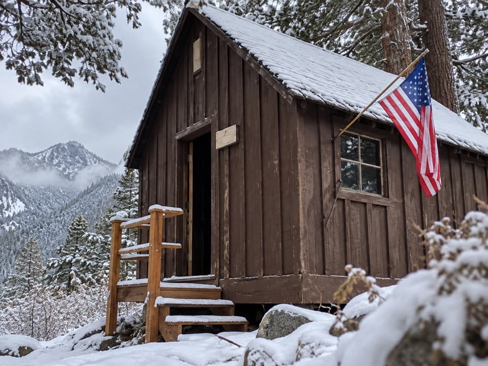
Kaweah Gap sits at 10,700 feet and opens into the broad Big Arroyo valley. From the pass, the High Sierra Trail drops a few hundred vertical feet, then descends steadily to the campsites at Big Arroyo Junction. The open valley, river and walls of the Great Western Divide are the payoff here. A preserved patrol cabin stands near the riverside camp.

Beyond the junctionThe mapped route continues east from Big Arroyo toward Little Five Lakes.

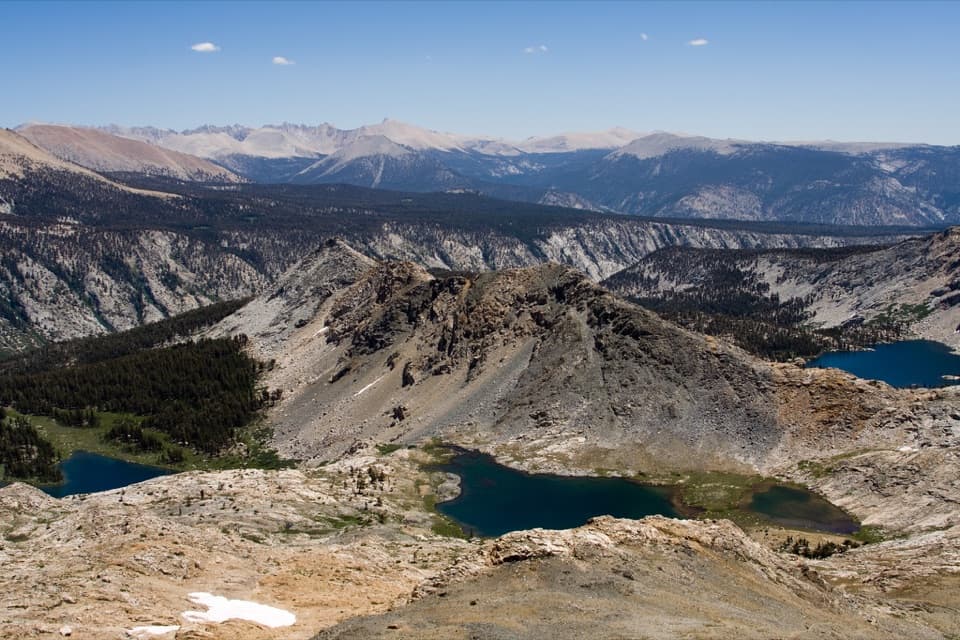
The mapped route continues east from Big Arroyo toward Little Five Lakes. Most of the line descends overall, but it crosses remote alpine slopes and its eastern sections are tagged as informal or hard to see. Expect stretches where the tread is faint or difficult to follow; a line on a screen does not replace route-finding skill and a current topographic map. Snowmelt can also make creek crossings hazardous. Leave time to assess water rather than relying on an old crossing description.

Access, permits and effortThis is a strenuous backcountry connection for experienced hikers, not a standalone day hike.

This is a strenuous backcountry connection for experienced hikers, not a standalone day hike. Both ends are reached on foot, so plan a through-route and exit before setting out; allow about eight hours for the mapped 8.8 miles, then add the approach and any overnight stops. The NPS requires a High Sierra Trail permit for the HST between Seven Mile Hill and Kaweah Gap; an Alta Trail permit does not cover that section. Overnight trips also require a wilderness permit. Pets are prohibited on park trails.

Wildlife

Wildlife in Sequoia

All Sequoia wildlife maps

Sighting maps show where each species has been reported across Sequoia. Wildlife moves, so no sighting is guaranteed.

Keep exploring

Near Big Arroyo Trail

See it all on the map

Trails that start nearby

Places near the trailhead

Parkwolf’s Sequoia ranking

Top-rated trails in Sequoia

All 99 trails
  1. 1Congress TrailEasy · 2.7 mi
  2. 2General Sherman Tree TrailModerate · 1 mi
  3. 3Moro Rock TrailModerate · 0.5 mi
  4. 4High Sierra TrailChallenging · 48.9 mi
  5. 5Mount Whitney TrailChallenging · 22 mi
  6. 6Lakes Trail to Pear LakeChallenging · 12.8 mi

Take Parkwolf to Sequoia.

The audio tour guide for the drive, plus offline maps, trails, and wildlife heatmaps for when the signal drops.

4.7 from 8,600+ ratings

Download Parkwolf on the App StoreGet Parkwolf on Google Play