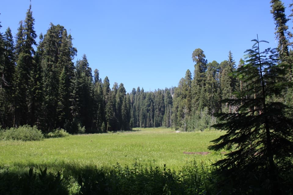
Franklin Lakes in Sequoia National Park

Sight · Sequoia National Park

Franklin Lakes

A long climb to twin lakes beneath the Great Western Divide.

Type
Sight
Nearest trail
1.6 mi
  • Trailhead
  • Parking
  • Scenic viewpoint

Hear the audio tour

Mineral King Trailheads and Honeymoon Cabin

Overview

About Franklin Lakes

Why stop

  • Two high-country lakes beneath Florence Peak and Tulare Peak.

Heads up

  • A strenuous, high-elevation hike with creek crossings and a long return.
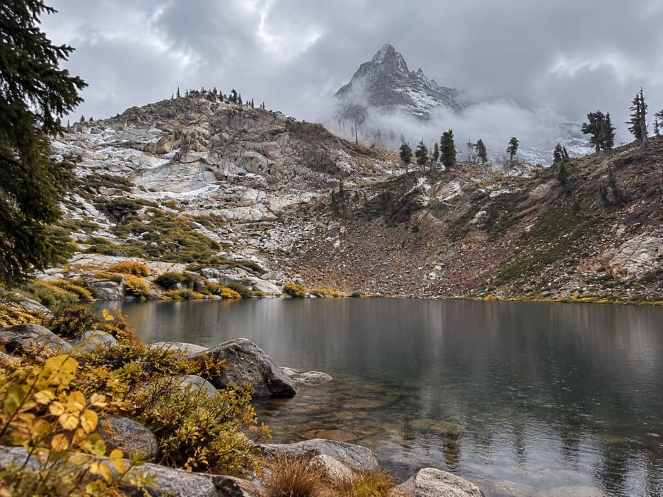
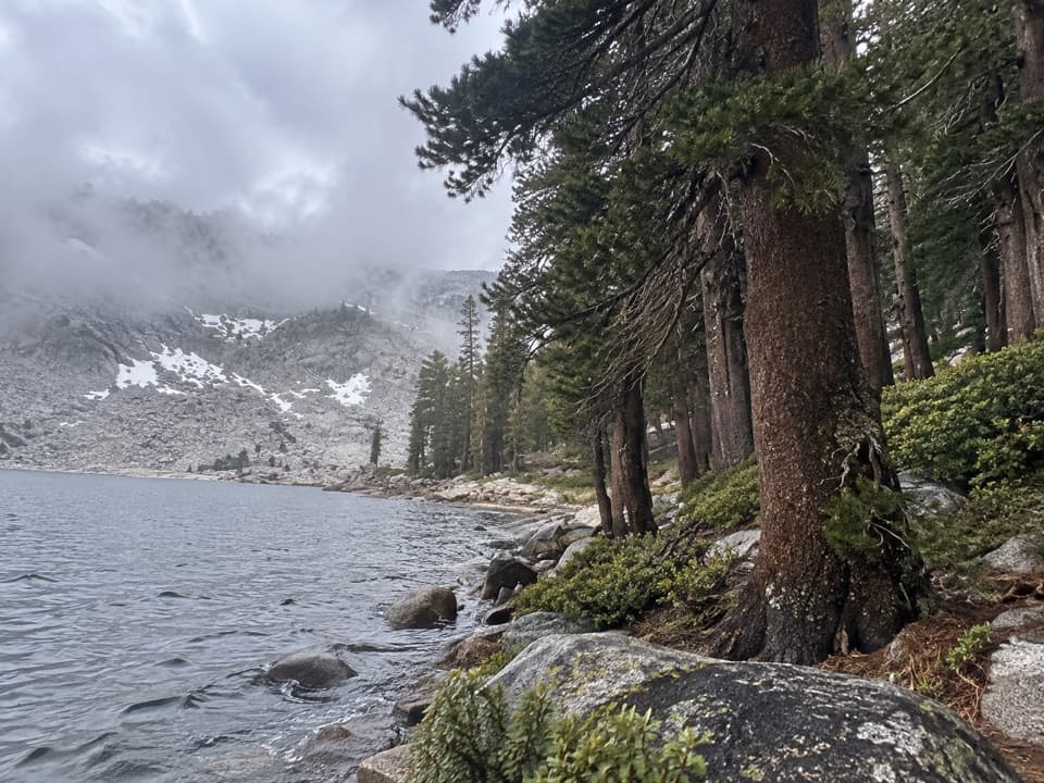
Franklin Lakes are two alpine lakes in Mineral King, tucked into a high basin beneath the Great Western Divide. Reaching them is a strenuous full-day hike, not a quick pullout. Plan on roughly 11 miles round trip: the route is listed at 5.4 miles one way, while other descriptions count about 11.4 to 12 miles. Expect around 2,800 feet of climbing, starting from a valley floor already about 7,500 feet above sea level.
Parkwolf’s verdictWorth the climb?

Map

Where it is

Loading the Sequoia map
Full map
SightFranklin Lakes36.41670, -118.55680
Keep this map with you offline in the Parkwolf app

Plan your stop

Before you go

Best time to go

Mineral King Road is extremely narrow, steep and winding, with unpaved stretches; RVs and trailers are not advised. The area generally opens from late May into October and closes for winter snow. Bring food and enough water for the hike: natural water is not guaranteed safe to drink, and there is nowhere to buy food at the lakes. Overnight backpackers need a wilderness permit, and pets are not allowed on park trails. From spring into midsummer, follow the park's marmot precautions because marmots may chew vehicle hoses and wiring.

8 active Sequoia alerts

  • ClosureMineral King Road construction closures and delaysMentions Mineral King Road, referenced in this guideConstruction work is causing scheduled closures and delays on Mineral King Road through October 28, 2026; visitors must pass through the work zone to reach Mineral King.Official details
  • CautionStage 1 fire restrictionsStage 1 fire restrictions are in effect due to high fire danger and catastrophic-wildfire risk; the restrictions reduce the possibility of accidental human-caused fires that could threaten visitors…Official details
See all 8 alerts
A park ranger sits on a dash-mounted phone, talking, as Parkwolf’s Tour Guide plays “Army Cutworm Moths: A Grizzly Bear Buffet” on Grand Loop Road below Dunraven Pass in Yellowstone
Parkwolf Tour GuideThe highest, rockiest slopes around here are a summer buffet for grizzly bears.

Sequoia Tour Guide

Your drive to Franklin Lakes, narrated.

Parkwolf is a GPS audio tour guide for Sequoia National Park. As you drive, it chimes in with what’s ahead: hidden gems, upcoming stops, history, geology, and wildlife, right through your car’s speakers.

See the Sequoia audio tour

Recorded for this place

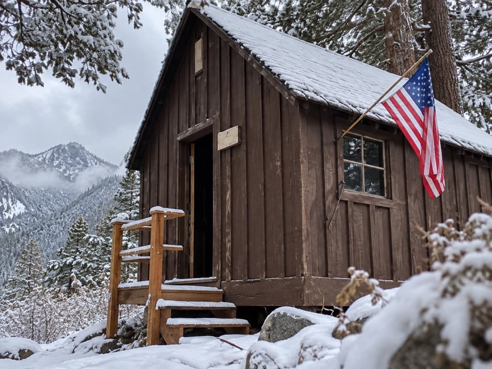
Mineral King Trailheads and Honeymoon Cabin
0:00 / 0:31
“Up ahead are the trailheads at the end of Mineral King Road, with Honeymoon Cabin beside them. For a short history stop, take a look at this last surviving Crowley Resort rental cabin.”

Plays as you drive up to Franklin Lakes in the Parkwolf Sequoia Tour Guide.

More stories near here in the app

  • Sawtooth Trailhead and Monarch Lakes
  • Mineral King Ranger Station
  • Cold Springs Campground and Nature Trail
  • The Tree in a Pencil
  • 71 audio storiesacross Sequoia’s roads, triggered by GPS as you drive
  • Wildlife heatmapsfor Black Bear, Mountain Lion, Bobcat, and 13 more
  • Works offlinemaps, 99 trails, 68 places, and audio download before you lose signal
  • CarPlay readysimple controls built for the drive
★★★★★
“…The kids and my husband and I all agree that the narration really added to our experience driving through the parks. We learned so much about the history and the flora & fauna.”
JessestblondeApp Store review
Download Parkwolf on the App StoreGet Parkwolf on Google Play

4.7 from 8,600+ ratings

Guide

More about Franklin Lakes

Finding the lake trailPark at either the White Chief or Sawtooth Trailhead area, then walk down Mineral King Corrals…

Park at either the White Chief or Sawtooth Trailhead area, then walk down Mineral King Corrals Road to the Pack Station, where the trail begins. The first 2.8 miles are shared with the Farewell Gap route; at Farewell Junction, take the Franklin Lakes branch for another 2.6 miles. It starts as a broad dirt road toward the stables, narrows to single track beside the East Fork Kaweah, crosses Crystal Creek and Franklin Creek, then climbs switchbacks. Creek crossings can be wet in early summer, so allow time and take care.

The basin and the viewThe lower lake sits beneath Florence Peak, with the red slopes of Tulare Peak rising beyond the…

The lower lake sits beneath Florence Peak, with the red slopes of Tulare Peak rising beyond the paler granite. A short spur leaves the main trail, passes campsites and a food-storage locker, and reaches a concrete dam at the lake outlet; more campsites and another locker lie farther along the trail. For a photo, frame the water with Florence Peak above it and Tulare Peak's red slopes for contrast. The trail continues toward Franklin Pass, but that adds a steep two-mile climb of about 1,350 feet beyond the lakes.

A valley shaped by iceSmaller glaciers carved this upper basin and left it hanging above Mineral King Valley as the…

Smaller glaciers carved this upper basin and left it hanging above Mineral King Valley as the ice retreated. The abrupt drop from the high valley toward the main valley is part of what makes this route feel so open once it leaves the trees.

Rocks that drew minersRainbow-colored metamorphic rock along the route attracted miners looking for silver in the…

Rainbow-colored metamorphic rock along the route attracted miners looking for silver in the 1870s. Among the gray Sierra granite, the streaks of color are still easy to notice as the trail climbs into the basin.

The dam's power storyThe concrete dam at the outlet was built by Whitney Power Company to regulate the East Fork…

The concrete dam at the outlet was built by Whitney Power Company to regulate the East Fork Kaweah's flow for power production. The river's flow varied, so the company used high-country lakes to release water more steadily. It is an unusual industrial remnant in a remote alpine setting.

Wildlife

Wildlife in Sequoia

All Sequoia wildlife maps

Sighting maps show where each species has been reported across Sequoia. Wildlife moves, so no sighting is guaranteed.

Keep exploring

Near Franklin Lakes

See it all on the map

Trails nearby

More stops nearby

Parkwolf’s Sequoia ranking

Top sights in Sequoia

All 68 places
  1. 1General Sherman TreeSight
  2. 2Moro RockSight
  3. 3Crystal CaveSight
  4. 4Crescent MeadowSight
  5. 5Tokopah FallsSight
  6. 6Tunnel LogSight

Take Parkwolf to Sequoia.

The audio tour guide for the drive, plus offline maps, trails, and wildlife heatmaps for when the signal drops.

4.7 from 8,600+ ratings

Download Parkwolf on the App StoreGet Parkwolf on Google Play