Pros & cons
PROS
- Lost Canyon’s gentle grade offers a welcome break on an otherwise burly loop
- Often quieter than other Mineral King corridors, even in peak season
CONS
- West side of Sawtooth Pass is a steep, loose scree descent if you loop that way
- Mosquito pressure can be intense around nearby lake basins in early season
Start from Mineral King trailheads based on your direction: Sawtooth Pass Trail for the Columbine/Monarch side or Timber Gap/Black Rock for the Big Five/Little Five side. Obtain overnight permits from the Mineral King Ranger Station if backpacking.
High elevation and exposed passes; steep, loose scree on Sawtooth; cairn-based navigation near Columbine; lingering early-season snow; intense mosquitoes around lakes; bears and gear-stealing marmots—secure food and equipment.
Overview
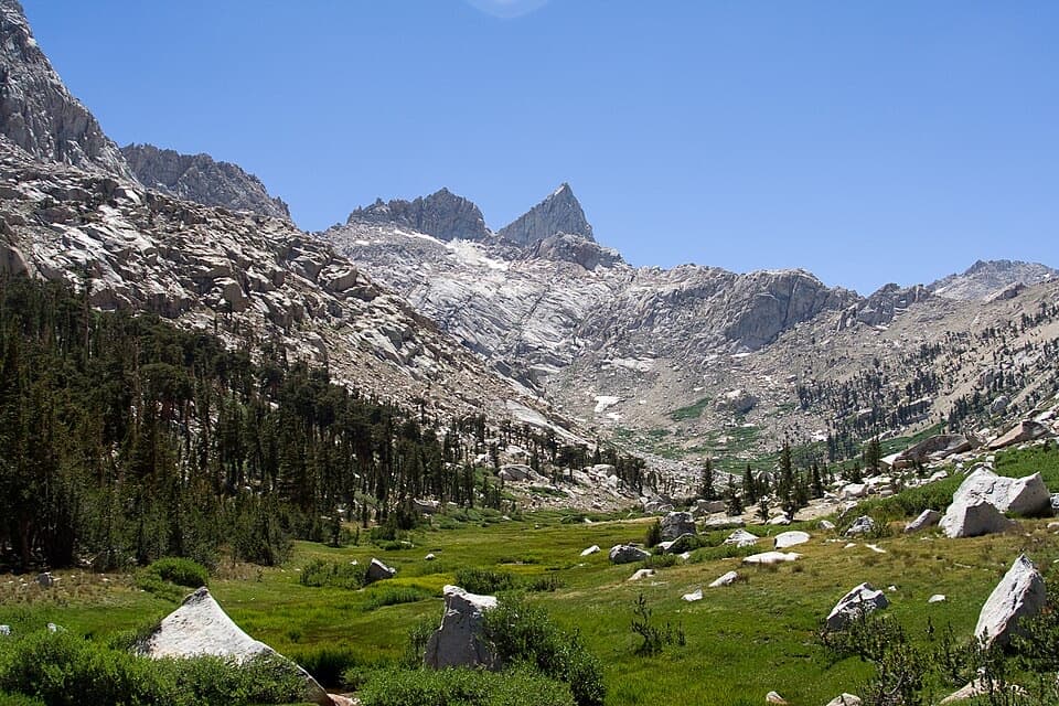
Lost Canyon is a high-country connector in the Mineral King backcountry that links the Big Five/Little Five Lakes basins to Columbine Lake beneath Sawtooth Pass. The canyon itself is the calm before the storm: a scenic, gentle climb through classic Sierra granite country with water, meadows, and long views—usually folded into multi-day Mineral King loops. The core Lost Canyon segment is approximately 4.0 miles one way; most hikers combine it with neighboring trails and passes, including Sawtooth, Black Rock, or Franklin, for a much longer backpack.
Route and Difficulty
From the Big Five Lakes side, the grade up Lost Canyon is widely described as gradual and pleasant until you reach the headwall. Above the canyon toward Columbine Lake, the character changes quickly—expect steep upper switchbacks, boulder fields, and cairn-based wayfinding. If your itinerary includes Sawtooth Pass immediately above Columbine, be ready: the west side of Sawtooth toward Monarch Lakes is notoriously steep and loose, and many hikers prefer to ascend from the Columbine/Lost Canyon side and descend to Monarch rather than the other way around. Overall difficulty: hard, with high elevation and big cumulative climbs on any loop that uses this segment.
Length note: the 4.0-mile figure is for the Lost Canyon segment itself (one way). Popular loop itineraries that include this segment can reach roughly 29 miles total.
Season and Conditions
Snow can linger near Columbine Lake and the east side of Sawtooth into early July; by late summer conditions are typically dry. Afternoon thunderstorms are a thing—start pass days early. Expect mosquitoes in early to mid-summer, especially around marshy lakes in the Big Five/Little Five basins; some hikers report fewer bugs in parts of Lost Canyon compared to lakeside camps. Above treeline terrain, loose scree, and occasional unmaintained sections make conditions feel more serious than the mileage suggests.
Water, Camping, and Permits
Water is generally plentiful in summer—streams and lakes are frequent—but treat everything. Designated tent sites exist near popular lakes along the route (e.g., Big Five/Little Five), and the first legal camping on the Sawtooth side is at Lower Monarch Lake. Wilderness permits are required for overnight trips from Mineral King trailheads; plan ahead for quotas. Bear canisters are strongly recommended (and often required) and work better than hanging in this area. Marmots are opportunists—keep all food and gear secured.
Tips and Navigation
- Loop direction matters: most parties prefer to ascend from Lost Canyon to Columbine and then descend toward Monarch Lakes to avoid a brutal sand-and-scree grind in the opposite direction.
- Trekking poles earn their keep on the steep and loose sections and during long descents.
- Expect cairns and slower travel across talus near Columbine and up toward Sawtooth. Give yourself extra time.
- Start early for pass crossings to dodge thunderstorms and manage exposure on sunny, steep slopes.
Wildlife and What to Watch For
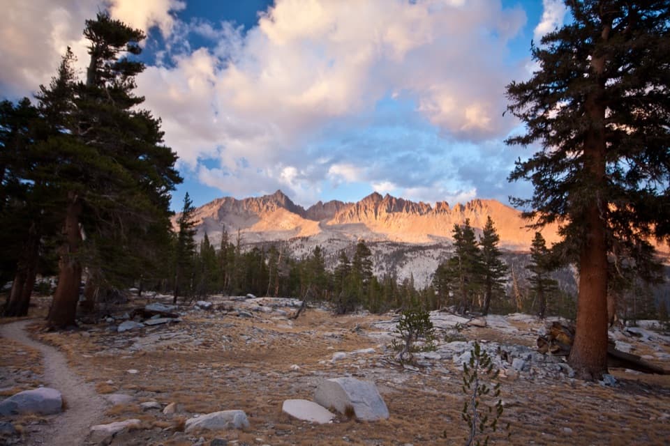
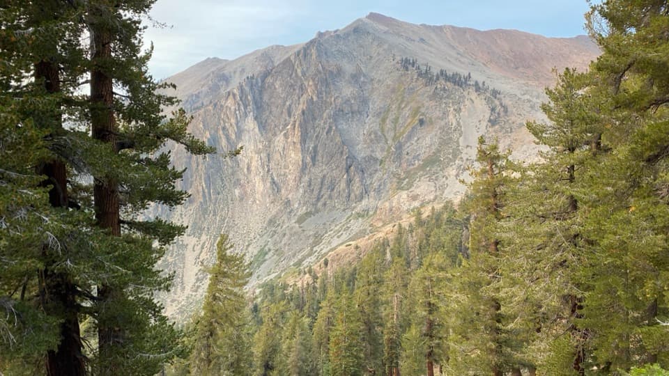
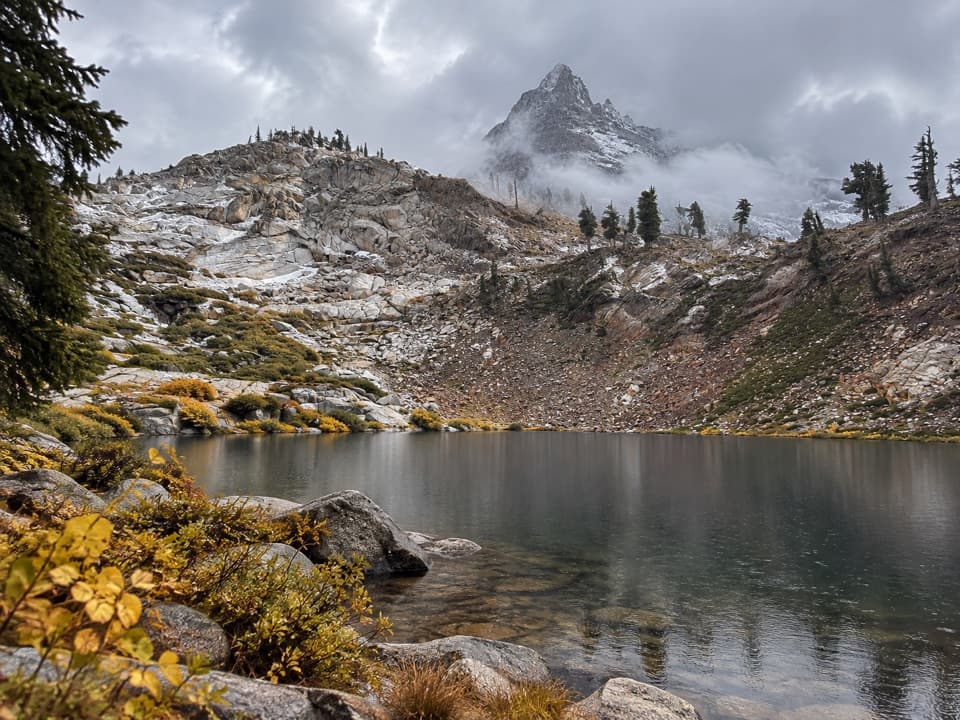
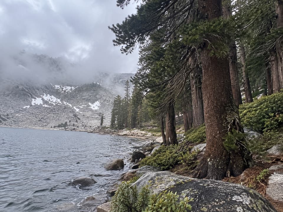
You may see deer and plenty of marmots; signs of black bears are common, so store food properly. In season, wildflowers add color in meadows and basins. The scenery from Lost Canyon up to Columbine—alpine lakes, big granite, and wide vistas—is the payoff.
Best Time to Hike
Late summer into early fall is the sweet spot: consolidated snow is mostly gone, storms are less frequent, and bugs taper off. Early season can be gorgeous but expect lingering snow near passes and heavier mosquitoes. Weekdays help with solitude (which is already better than on many park routes). Golden-hour light in the canyon is lovely; plan camp or breaks accordingly.
If You’re Choosing Routes
If loose scree isn’t your idea of fun, build a loop that emphasizes Lost Canyon and the Big Five/Little Five basins and consider crossing via Black Rock or Franklin instead of tackling Sawtooth’s west side. Lost Canyon’s mellow grade makes a perfect mid-loop reprieve on any Mineral King itinerary.
Elevation
4 mi · 3 hrWildlife on this trail
Near Lost Canyon Trail
All places →All trails →
General Sherman TreeThe world’s largest tree by volume, framed by a cathedral of sequoiasTrailhead · Restroom
Sherman Tree ViewWorld’s largest tree on a short, interpretive forest walkParking · Restroom
Moro RockHistoric stairway to Great Western Divide viewsTrailhead · Parking
Mount WhitneyHighest Lower 48 summit via a demanding alpine trekScenic Viewpoint
Mount Whitney TrailHighest point in the contiguous U.S. via epic, endless switchbacks.Challenging · 22 mi · 13 hr
High Sierra TrailCrescent Meadow to Whitney: granite, hot springs, big skyChallenging · 70.5 mi · 168 hr
John Muir TrailForester Pass to Whitney: the JMT’s high, airy finish in SequoiaChallenging · 211 mi · 504 hr
Sherman Tree TrailPaved stroll to Earth’s largest tree, with a huff on the way back.Easy · 1.1 mi · 36 min