Parking
Small gravel pull-off on the east side of Skyline Drive at milepost 59.5, by the Pocosin Fire Road sign. It reportedly fits about six cars and is easy to pass. A park entrance pass is required.

Shenandoah National Park, VA
A gravel road through woods ends at a mountain mission's remains.
Overview
Map & elevation
Plan your hike

The highest, rockiest slopes around here are a summer buffet for grizzly bears.
Shenandoah Tour Guide
Parkwolf is a GPS audio tour guide for Shenandoah National Park. As you drive, it chimes in with what’s ahead: hidden gems, upcoming stops, history, geology, and wildlife, right through your car’s speakers.
See the Shenandoah audio tourRecorded for this trailhead
Pocosin Mission: A Walk to the Church Remains“You’re approaching the Pocosin Mission trailhead, for a history walk through the woods.”
Plays as you drive up to this trailhead in the Parkwolf Shenandoah Tour Guide.
More stories near here in the app
“Fantastic app with many points of information… It’s great to just turn on while you’re driving and it gives you an audio tour of the national Park. We love it!!!!”


Trail guide
Pocosin Mission Trail is an about 2-mile round-trip out-and-back on a gravel fire road from Skyline Drive to the Upper Pocosin Mission ruins. Allow about 1.5 to 2 hours to walk it and look around. The road drops gently through woods on the way in, then you climb back the same way. Do it for the history at the end; there are no notable overlooks along this route.
Start at the small gravel pull-off by milepost 59.5 and walk around the chain onto Pocosin Fire Road. The route crosses the Appalachian Trail near the beginning; keep going straight on the fire road. Pocosin Cabin is about 0.2 mile in, and the mission site is roughly a mile from the parking area. At the ruins, turn around. Pocosin Trail and other roads continue from the junction, but they are separate hikes and add a much longer trip.
Pocosin Cabin is a one-room log cabin built by Civilian Conservation Corps crews in 1936. It was later run by the Potomac Appalachian Trail Club as a rental cabin. You can see its chimney and cabin from the road, but the porch and locked privy are for cabin guests; don't count on them as trail facilities.
Reverend Frederick Neve built the Episcopal mission in 1902 to serve mountain communities. The settlement included a schoolhouse and housing for missionaries. Today, you can pick out church steps, foundation walls, a fallen chimney and remnants of a wooden building; a small, overgrown cemetery is across the trail. The ruins are easy to miss if you arrive without knowing what they are. Look for the surviving wall against the trees, but stay on the path and leave the stones where they are.
Most of the walk is on dirt and gravel road, with a mild descent to the mission and roughly 400 feet of climbing on the return. The access is a signed fire-road entrance on the east side of Skyline Drive, and it's easy to drive by. The small pull-off reportedly fits about six cars. A park entrance pass is required. Dogs are allowed here on a physical leash no longer than six feet.
Wildlife
 325 sightingsBlack BearMost seen around 6 AMSighting map
 21 sightingsBald EagleMost seen around 10 AMSighting map
 1,036 sightingsWhite-tailed DeerMost seen around 7 PMSighting map
 167 sightingsWild TurkeyMost seen around 7 AMSighting map
 93 sightingsTimber RattlesnakeMost seen around 6 PMSighting map
 24 sightingsCoyoteMost seen around 6 AMSighting map
Sighting maps show where each species has been reported across Shenandoah. Wildlife moves, so no sighting is guaranteed.
Keep exploring
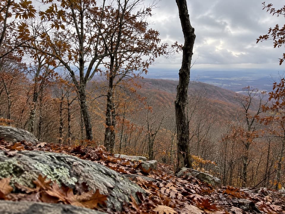 EasyLewis Mountain Nature Trail1.1 mi · 36 min · 1.6 mi awayA short stair climb through mountain laurel to a small rocky summit.
 ChallengingSlaughter Ridge and Conway River Backcountry Route15 mi · 11 hr · 2.5 mi awayA 15-mile ridge-to-river out-and-back with a long climb back.
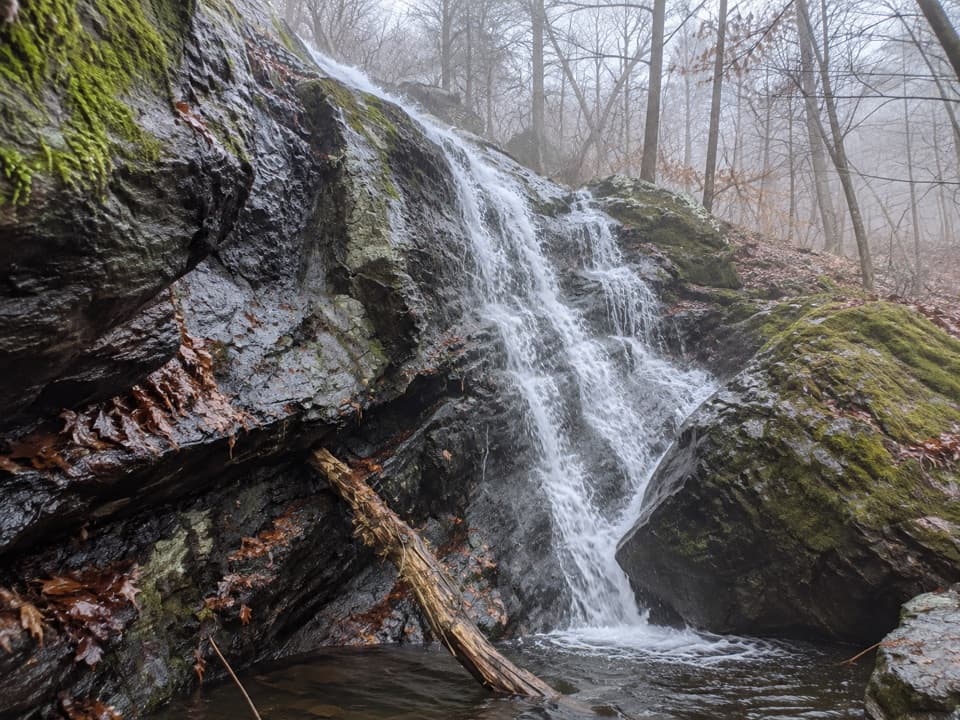 ModerateDry Run Falls3.4 mi · 2 hr · 2.6 mi awayA wooded fire road toward Dry Run Falls, with off-road access uncertainty.
 ModerateMeadows School Trail2.8 mi · 2.3 hr · 2.6 mi awayA 1.4-mile descent to the former Meadows School site.
 ModerateEntry Run and Rosser Lamb Loop2.6 mi · 1.5 hr · 2.7 mi awayA short wooded loop with a steep climb and a streamside return.
 ModerateSouth River Falls Base Loop4.6 mi · 3.5 hr · 2.7 mi awayGo beyond the overlook to stand beneath an 83-foot, two-chute waterfall.
 ModerateSouth River Falls Circuit3.3 mi · 2.3 hr · 2.7 mi awayWaterfall overlook, then a loop back by fire road and the A.T.
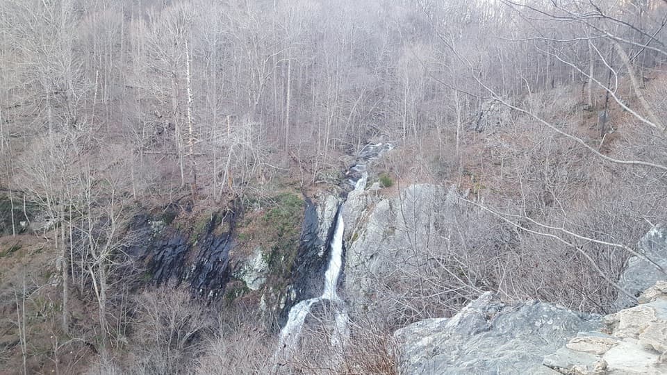 ModerateSouth River Falls Observation Point2.6 mi · 1.5 hr · 2.7 mi awayAn 83-foot waterfall overlook caps this 2.6-mile out-and-back.
 Lodging · 0.2 mi awayPocosin CabinA historic log cabin stay, a short walk from Skyline Drive.
 Scenic pullout · 0.5 mi awayThe Oaks OverlookA narrow westward window onto the valley's working landscape.
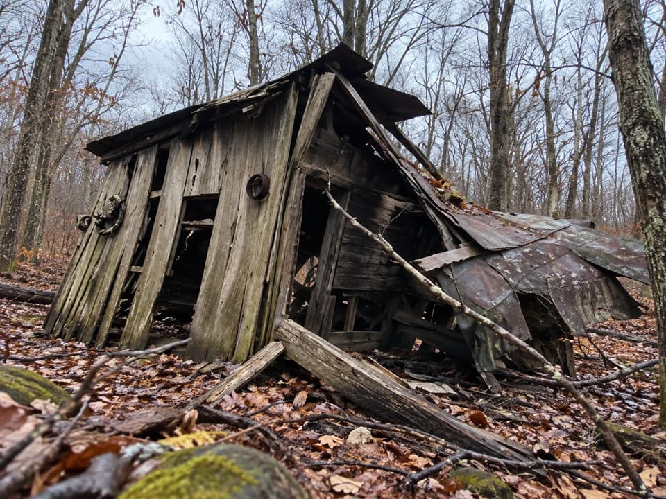 Sight · 0.9 mi awayUpper Pocosin Mission RuinsA Blue Ridge mission ruin reached beyond Pocosin Cabin.
 Sight · 1.5 mi awayBaldface Mountain OverlookA quick stop for a ledge view over the Shenandoah Valley.
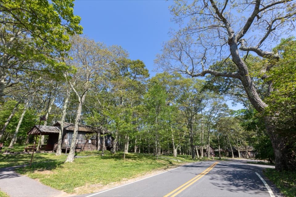 Campground · 1.7 mi awayLewis Mountain CampgroundA small campground with a defining place in Shenandoah's integration story.
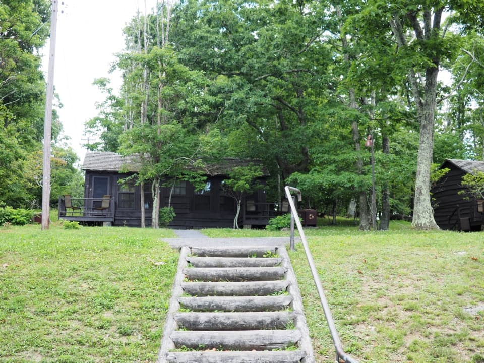 Lodging · 1.7 mi awayLewis Mountain CabinsA wooded cabin stay with outdoor meals and important history.
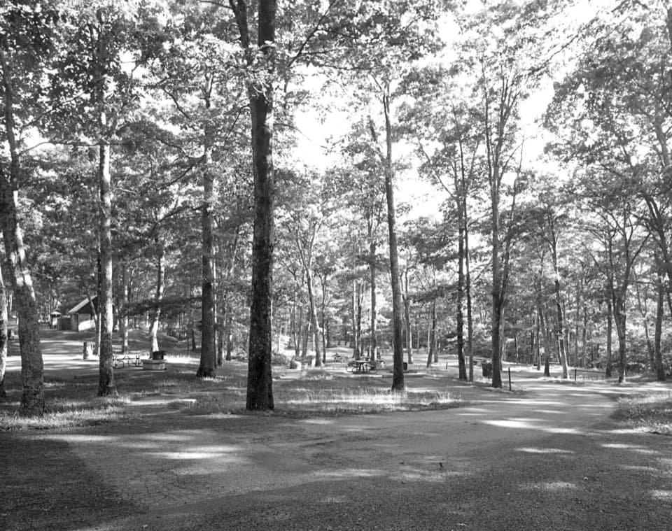 Picnic area · 1.9 mi awayLewis Mountain Picnic GroundsA quiet picnic stop with a history worth knowing.Sight · 2.4 mi awaySouth River FallsAn 83-foot waterfall, reached by a steep wooded loop.
Parkwolf’s Shenandoah ranking

The audio tour guide for the drive, plus offline maps, trails, and wildlife heatmaps for when the signal drops.





