Parking
Use the west-side parking area at Skyline Drive mile 56.8. A park entrance pass is required; parking capacity and overflow details were not found.

Shenandoah National Park, VA
A 1.4-mile descent to the former Meadows School site.
Overview
Map & elevation
Plan your hike

The highest, rockiest slopes around here are a summer buffet for grizzly bears.
Shenandoah Tour Guide
Parkwolf is a GPS audio tour guide for Shenandoah National Park. As you drive, it chimes in with what’s ahead: hidden gems, upcoming stops, history, geology, and wildlife, right through your car’s speakers.
See the Shenandoah audio tourRecorded for this area
Bearfence: Choose the Scramble or the Viewpoint“You're approaching Bearfence Mountain's trailhead, where a short hike leads to a hands-and-feet scramble and a full-circle view.”
Plays on the road 0.4 mi from the trailhead in the Parkwolf Shenandoah Tour Guide.
More stories near here in the app
“Fantastic app with many points of information… It’s great to just turn on while you’re driving and it gives you an audio tour of the national Park. We love it!!!!”


Trail guide
Meadows School Trail is a 2.82-mile out-and-back on an unpaved road from Skyline Drive toward the former school area near the park boundary. The 1.41-mile walk down loses about 950 feet; you climb back up the same track. Allow about two to two and a half hours. Choose it for the old road and local history, not a promised overlook; none is documented.
The mapped route is a ground-surfaced track, more like an old road than a narrow footpath. It descends for most of the way from the Skyline Drive ridge, so the return is the hard part: nearly 1,000 feet of climbing over the same 1.4 miles. The line follows a wooded hillside; dependable details on footing, crossings or trail-side views weren't found.
At the lower end, you reach the vicinity of a former school and two homes that stood beside the road just inside the park boundary. It's unclear whether any buildings remain or whether walkers can continue beyond the boundary, so treat the mapped endpoint as your turnaround.
Start at the west-side parking area at Skyline Drive mile 56.8. A Shenandoah entrance pass is required. Dogs are allowed on this route on a physical leash no longer than six feet.
Wildlife
 325 sightingsBlack BearMost seen around 6 AMSighting map
 21 sightingsBald EagleMost seen around 10 AMSighting map
 1,036 sightingsWhite-tailed DeerMost seen around 7 PMSighting map
 167 sightingsWild TurkeyMost seen around 7 AMSighting map
 93 sightingsTimber RattlesnakeMost seen around 6 PMSighting map
 24 sightingsCoyoteMost seen around 6 AMSighting map
Sighting maps show where each species has been reported across Shenandoah. Wildlife moves, so no sighting is guaranteed.
Keep exploring
 ChallengingSlaughter Ridge and Conway River Backcountry Route15 mi · 11 hr · 0.2 mi awayA 15-mile ridge-to-river out-and-back with a long climb back.
 EasyBearfence Viewpoint Hike1.1 mi · 45 min · 0.4 mi awayShort out-and-back for a Shenandoah Valley view without scrambling.
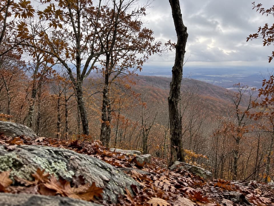 EasyLewis Mountain Nature Trail1.1 mi · 36 min · 1 mi awayA short stair climb through mountain laurel to a small rocky summit.
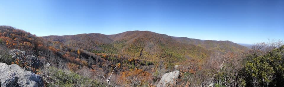 ChallengingBear Church Rock via Bootens Gap9.7 mi · 5.5 hr · 1.6 mi awayLong forest miles end at a rock ledge above the Rapidan Valley.
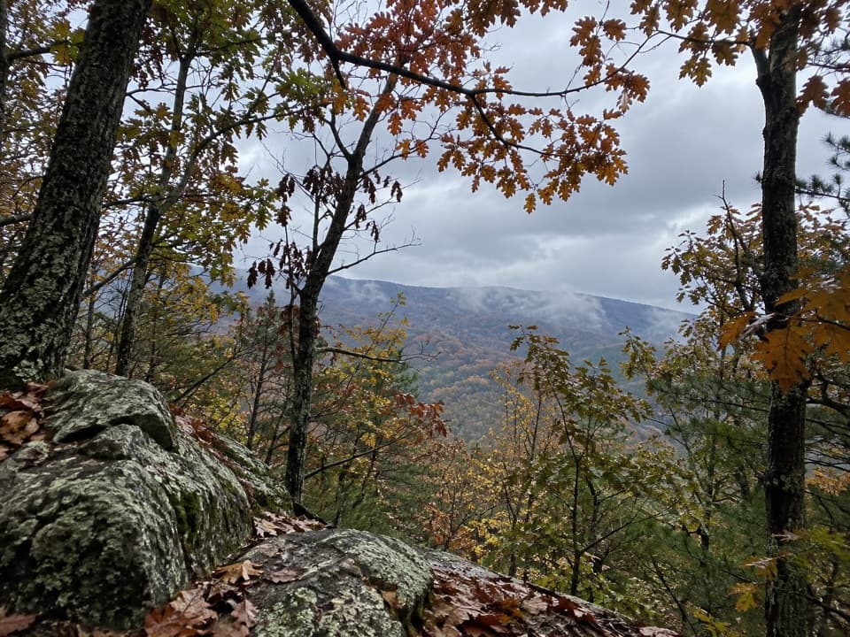 ChallengingPowell Mountain Trail7 mi · 5 hr · 2.1 mi awayA long, rocky climb to Powell Mountain's unmarked summit.
 EasyPocosin Mission Trail2 mi · 1.5 hr · 2.6 mi awayA gravel road through woods ends at a mountain mission's remains.
 ModerateRapidan Camp via Mill Prong4 mi · 2.8 hr · 3.9 mi awayThree stream crossings lead to Hoover’s historic mountain retreat.
 ModerateMill Prong - Laurel Prong Loop7.4 mi · 7.5 hr · 3.9 mi awayA 7.4-mile loop to Hoover’s Rapidan Camp with three stream crossings.
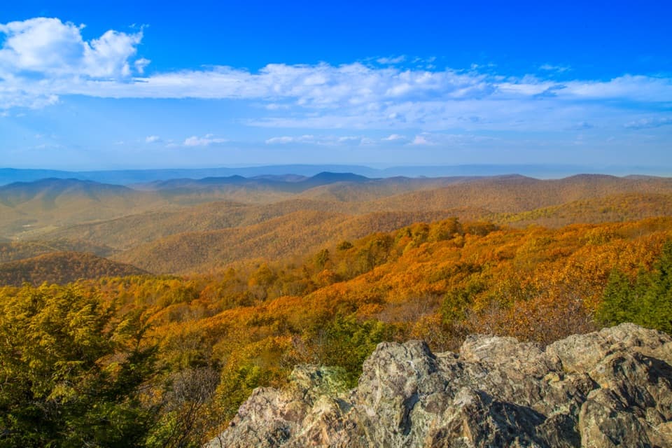 Sight · 0.3 mi awayBearfence MountainA short summit scramble opens a full-circle Blue Ridge panorama.
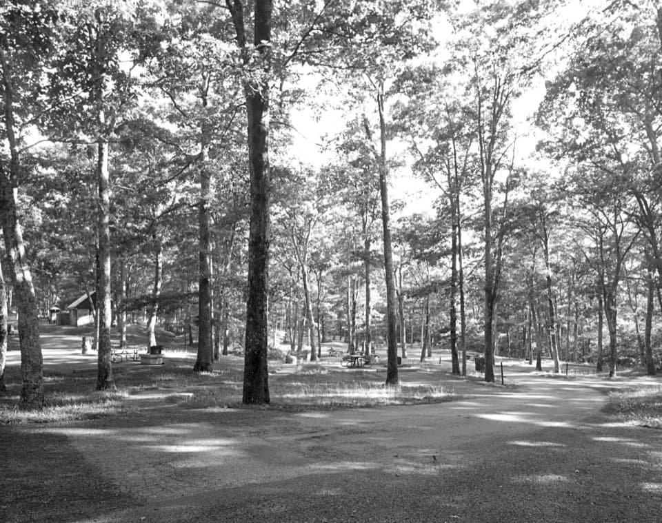 Picnic area · 0.8 mi awayLewis Mountain Picnic GroundsA quiet picnic stop with a history worth knowing.
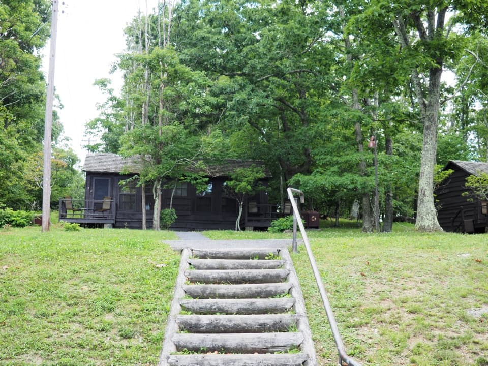 Lodging · 0.9 mi awayLewis Mountain CabinsA wooded cabin stay with outdoor meals and important history.
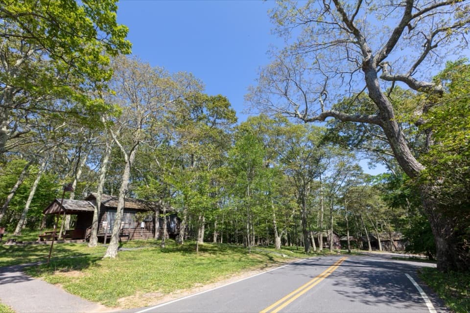 Campground · 1 mi awayLewis Mountain CampgroundA small campground with a defining place in Shenandoah's integration story.
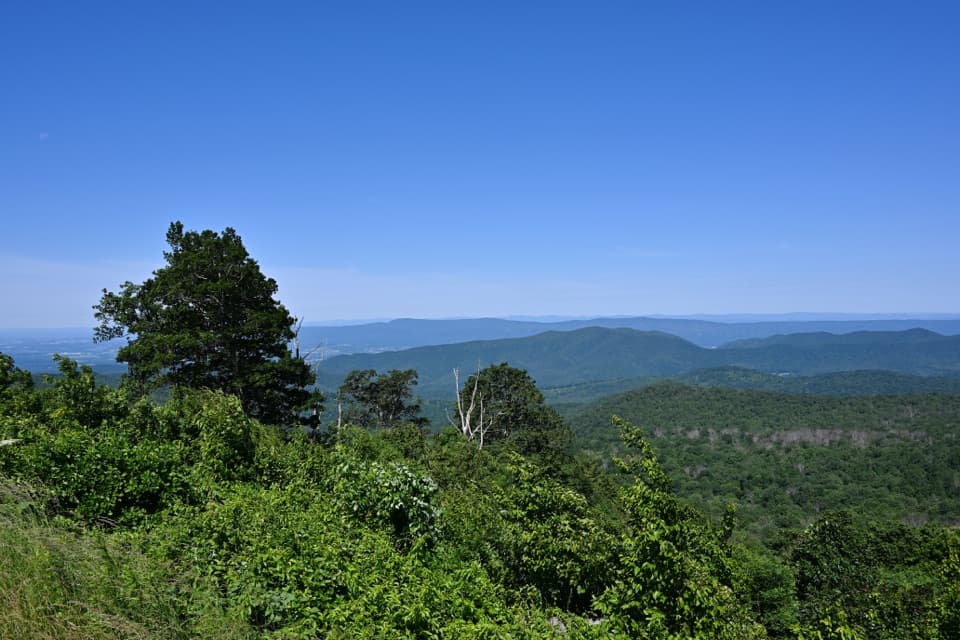 Sight · 1.2 mi awayThe Point OverlookA short, steep path opens onto sunset views across the Blue Ridge.
 Scenic pullout · 2.2 mi awayThe Oaks OverlookA narrow westward window onto the valley's working landscape.
 Scenic pullout · 2.3 mi awayHazeltop Ridge OverlookBeldore Hollow opens a clear-day look toward distant southern peaks.
 Lodging · 2.8 mi awayPocosin CabinA historic log cabin stay, a short walk from Skyline Drive.
Parkwolf’s Shenandoah ranking

The audio tour guide for the drive, plus offline maps, trails, and wildlife heatmaps for when the signal drops.





