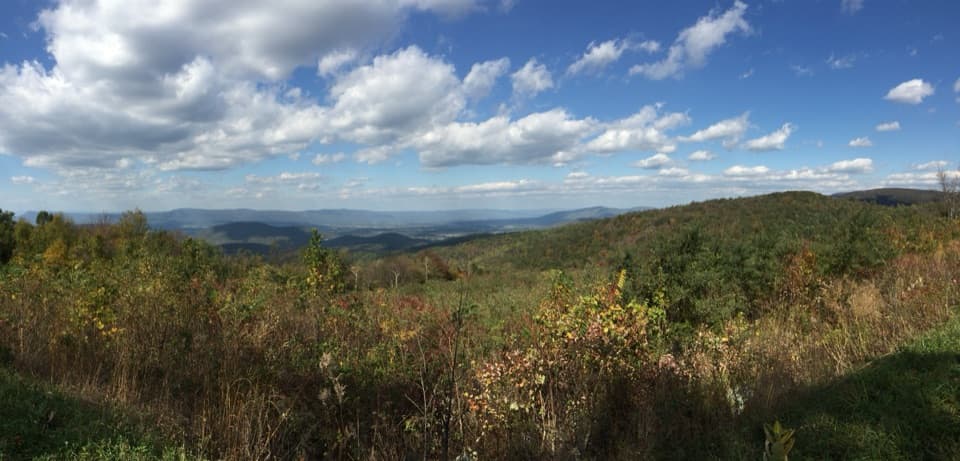
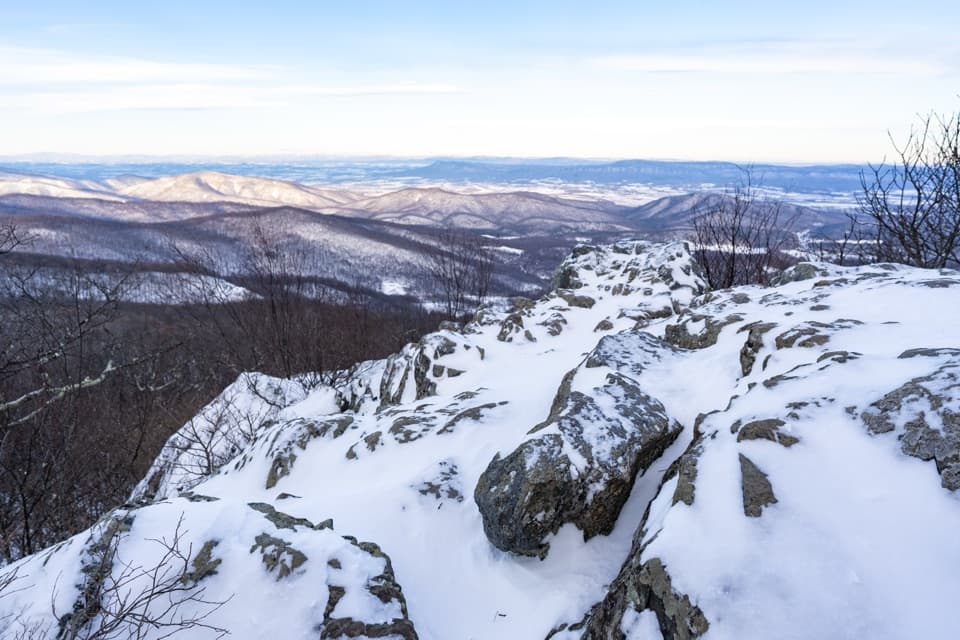
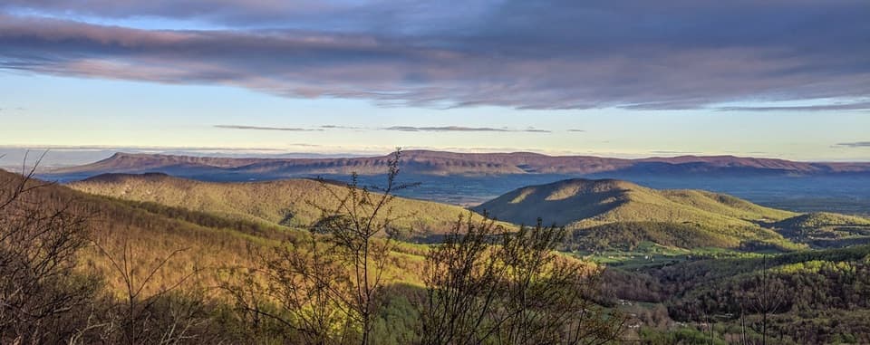
Saddleback Mountain Loop in Shenandoah National Park

Shenandoah National Park, VA

Saddleback Mountain Loop

A 5.8-mile wooded loop with a few seasonal valley glimpses.

Length
5.8mi
Time
3.3hr
Elev. change
807ft
Difficulty
Moderate
  • Loop
  • Dogs allowed
  • High point 3,215 ft

Hear the audio tour

The Newt's Years on Land

Overview

About Saddleback Mountain Loop

Why go

  • The gentler blue-blazed shoulder traverse breaks up the AT climb.
  • A short cemetery spur and maintenance hut add distinctive waypoints.

Heads up

  • The wooded summit has no view; shoulder glimpses are limited and seasonal.
  • Current legal parking at the boundary access has not been confirmed.

Map & elevation

The route

Loading the Shenandoah map
Full map
Elevation2,408–3,215 ft
TrailheadAppalachian Trail at U.S. 33, Swift Run Gap boundary crossing38.35751, -78.54533
Keep this map with you offline in the Parkwolf app

Plan your hike

Before you go

Parking

The route starts where the Appalachian Trail crosses U.S. 33 near Swift Run Gap. An older route report describes parking across from the entrance station, but current legal parking there is unverified; confirm where to leave a car before arriving.

Safety

The AT sections climb steadily and are rocky or steep in places. A spring near the maintenance hut was reported mostly dry, so do not rely on it for water. A park entrance pass is required even when hiking in from the boundary.

2 active Shenandoah alerts

  • ClosureOld Rag Trailhead main lot closedThe Old Rag Trailhead main parking lot is closed to vehicles and pedestrians for infrastructure improvements; use the existing overflow lots. - Work is expected to be completed by November 2026.Official details
  • ClosureBackcountry camping and zone closuresBackcountry camping is prohibited on the Appalachian Trail from Lewis Mountain to Big Meadows, and the Naked Creek backcountry zone is closed.Official details
Shenandoah alerts
A park ranger sits on a dash-mounted phone, talking, as Parkwolf’s Tour Guide plays “Army Cutworm Moths: A Grizzly Bear Buffet” on Grand Loop Road below Dunraven Pass in Yellowstone
Parkwolf Tour GuideThe highest, rockiest slopes around here are a summer buffet for grizzly bears.

Shenandoah Tour Guide

Your drive to Saddleback Mountain Loop, narrated.

Parkwolf is a GPS audio tour guide for Shenandoah National Park. As you drive, it chimes in with what’s ahead: hidden gems, upcoming stops, history, geology, and wildlife, right through your car’s speakers.

See the Shenandoah audio tour

Recorded for this area

The Newt's Years on Land
0:00 / 0:34
“A tiny orange-red salamander on a damp woodland path may be a young eastern newt, called a red eft. It can spend several years on land before returning to water to breed.”

Plays on the road 0.5 mi from the trailhead in the Parkwolf Shenandoah Tour Guide.

More stories near here in the app

  • A Frog That Freezes
  • Five Dollars to Keep
  • Hensley Hollow Overlook: Follow the Valley Toward Elkton
  • Hightop Mountain: Take the Viewpoint Spur
  • 146 audio storiesacross Shenandoah’s roads, triggered by GPS as you drive
  • Wildlife heatmapsfor Black Bear, Bald Eagle, White-tailed Deer, and 13 more
  • Works offlinemaps, 163 trails, 142 places, and audio download before you lose signal
  • CarPlay readysimple controls built for the drive
★★★★★
“Fantastic app with many points of information… It’s great to just turn on while you’re driving and it gives you an audio tour of the national Park. We love it!!!!”
JMJamesApp Store review
Download Parkwolf on the App StoreGet Parkwolf on Google Play

4.7 from 8,600+ ratings

Trail guide

Hiking Saddleback Mountain Loop

What this loop isSaddleback Mountain Loop is a 5.

Saddleback Mountain Loop is a 5.8-mile circuit from the Appalachian Trail crossing at Swift Run Gap. It follows the AT north to the blue-blazed Saddleback Mountain Trail, crosses the mountain shoulder, takes a short fire-road connector back to the AT, then returns to the same crossing. Expect roughly 1,100 feet of climbing and about 3 to 3.5 hours on the trail. The first 1.5 miles on the AT are shared with the return, so this is a wooded loop with a repeated approach rather than a separate path all the way around.

This is a good choice for a steady forest walk with some route variety. The summit itself is covered in trees, so choose it for the walk, not for a summit panorama.

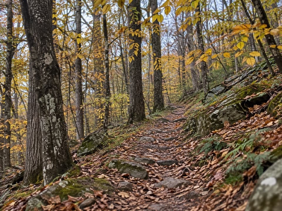
The first climbHead north on the AT from the boundary crossing. It climbs steadily.

Head north on the AT from the boundary crossing. It climbs steadily. Within the first few tenths, a short unmarked spur turns right to a small family cemetery; return to the AT to continue the loop. The remaining headstones include dates around the turn of the twentieth century, a small trace of the families who once lived on these slopes.

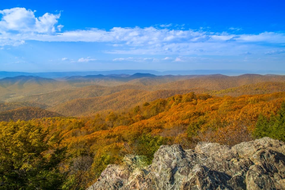
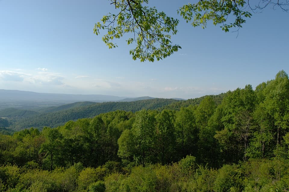
At about 1.5 miles, turn right onto the blue-blazed Saddleback Mountain Trail. This middle section is gentler than the AT climb and skirts the mountain shoulder. A few filtered views reach the valley and Skyline Drive through the trees; they are easiest to see when the leaves are down.

Hut, connector and summitThe Saddleback trail passes a Potomac Appalachian Trail Club maintenance hut.

The Saddleback trail passes a Potomac Appalachian Trail Club maintenance hut. A spring nearby was reported mostly dry on one visit, so do not count on it as a water stop. Continue along the short fire-road connector to rejoin the AT, then head south to finish the loop.

The high point on the AT is wooded and has no view. Expect rocky footing and a few steeper pitches on the AT sections. Leashed dogs are allowed on this route.

AccessThe route begins at a park-boundary crossing on U.S. 33 near Swift Run Gap.

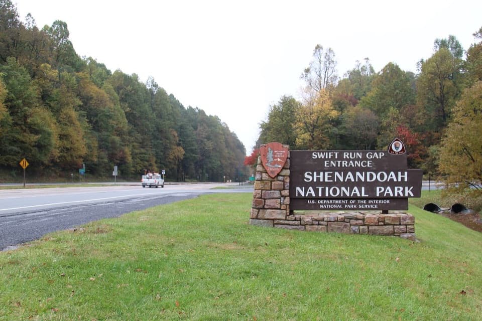
The route begins at a park-boundary crossing on U.S. 33 near Swift Run Gap. A Shenandoah entrance pass is required even when hiking in from the boundary. Some boundary trailheads are unsigned, so carry a map. Current legal parking at this crossing has not been confirmed; an older route report describes parking across from the entrance station, but verify where you can leave a car before setting out.

Wildlife

Wildlife in Shenandoah

All Shenandoah wildlife maps

Sighting maps show where each species has been reported across Shenandoah. Wildlife moves, so no sighting is guaranteed.

Keep exploring

Near Saddleback Mountain Loop

See it all on the map

Trails that start nearby

Places near the trailhead

Parkwolf’s Shenandoah ranking

Top-rated trails in Shenandoah

All 163 trails
  1. 1Old Rag Summit via Berry HollowChallenging · 5.4 mi
  2. 2Hawksbill LoopModerate · 2.9 mi
  3. 3Marys Rock Summit TrailModerate · 3.7 mi
  4. 4Stony Man HikeEasy · 1.6 mi
  5. 5Cedar Run - Whiteoak CircuitChallenging · 8.1 mi
  6. 6Blackrock Summit LoopEasy · 1 mi

Take Parkwolf to Shenandoah.

The audio tour guide for the drive, plus offline maps, trails, and wildlife heatmaps for when the signal drops.

4.7 from 8,600+ ratings

Download Parkwolf on the App StoreGet Parkwolf on Google Play