Parking
Park at Hightop Mountain Parking Area on the west side of Skyline Drive at mile 66.7. Cross the drive to reach the white-blazed Appalachian Trail. The small lot has about eight spaces; availability varies.

Shenandoah National Park, VA
A shaded Appalachian Trail climb ends at a west-facing rock viewpoint.
Overview
Map & elevation
Plan your hike

The highest, rockiest slopes around here are a summer buffet for grizzly bears.
Shenandoah Tour Guide
Parkwolf is a GPS audio tour guide for Shenandoah National Park. As you drive, it chimes in with what’s ahead: hidden gems, upcoming stops, history, geology, and wildlife, right through your car’s speakers.
See the Shenandoah audio tourRecorded for this trailhead
Hightop Mountain: Take the Viewpoint Spur“Hightop Mountain's trailhead is ahead, with a steady woodland climb to a rocky view over the Shenandoah Valley.”
Plays as you drive up to this trailhead in the Parkwolf Shenandoah Tour Guide.
More stories near here in the app
“Fantastic app with many points of information… It’s great to just turn on while you’re driving and it gives you an audio tour of the national Park. We love it!!!!”


Trail guide
Hightop Summit is a 3-mile out-and-back from Hightop Mountain Parking Area, following the Appalachian Trail to a rocky viewpoint on the ridge. Allow about three hours for the climb, the view, and the walk back. The route gains roughly 935 feet over 1.5 miles, mostly in shaded woods, then opens west across the southern Shenandoah Valley. If you want a real uphill hike with a clear payoff, this is a good choice; it isn't a flat leg-stretcher.
The small parking area is on the west side of Skyline Drive at mile 66.7. Cross the drive and take the white-blazed Appalachian Trail south. A path leaving from the north side of the lot is not the Hightop Summit route, so don't follow it by mistake.
The tread is dirt and rock, and it climbs steadily through switchbacks under a mostly wooded canopy. Large boulders appear early, around the first 0.2 mile. The trees limit the views for much of the way, so save your time for the rocky opening near the top.
After the trail curves around the summit area, take the short right-hand side path to the rocks. The view faces west over the Shenandoah Valley and layers of Blue Ridge country; Massanutten stands out across the valley. The rocks give the panorama a useful foreground if you're taking photos. The route ends at this viewpoint, then retraces the same trail to the lot.
The climb is rated moderate and gains roughly 935 feet. Expect an uphill walk for most of the first half and an uneven dirt-and-rock descent on the return. The route does not meet ADA accessibility guidelines. Dogs are allowed on leash no longer than six feet.
The lot holds about eight cars, so arriving earlier helps if you need a space. The hike itself has no separate activity fee or reservation, but Shenandoah's entrance fee applies. The hike is listed as year-round; access depends on Skyline Drive.
Wildlife
 325 sightingsBlack BearMost seen around 6 AMSighting map
 21 sightingsBald EagleMost seen around 10 AMSighting map
 1,036 sightingsWhite-tailed DeerMost seen around 7 PMSighting map
 167 sightingsWild TurkeyMost seen around 7 AMSighting map
 93 sightingsTimber RattlesnakeMost seen around 6 PMSighting map
 24 sightingsCoyoteMost seen around 6 AMSighting map
Sighting maps show where each species has been reported across Shenandoah. Wildlife moves, so no sighting is guaranteed.
Keep exploring
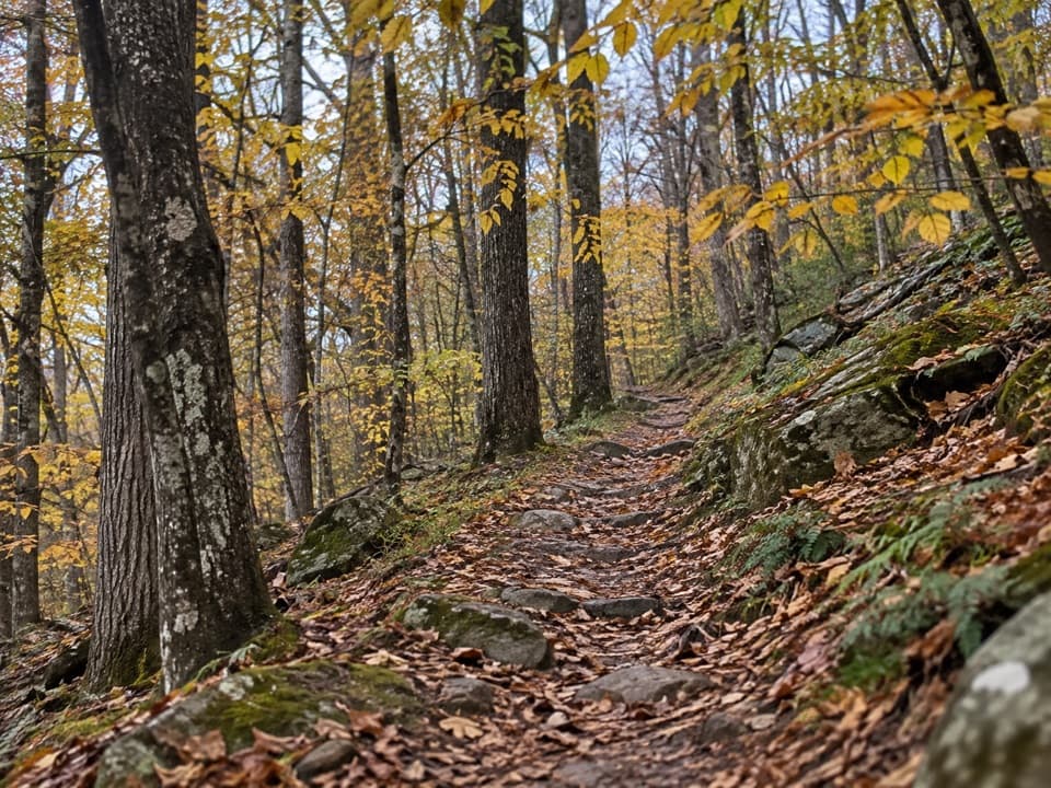 ModerateSaddleback Mountain Loop5.8 mi · 3.3 hr · 1 mi awayA 5.8-mile wooded loop with a few seasonal valley glimpses.
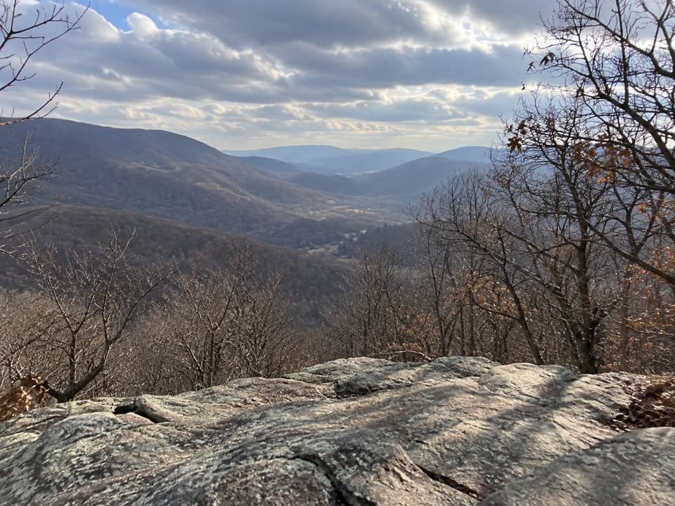 EasyPowell Gap1 mi · 1 hr · 2.7 mi awayA half-mile climb earns a rocky look into Bacon Hollow.
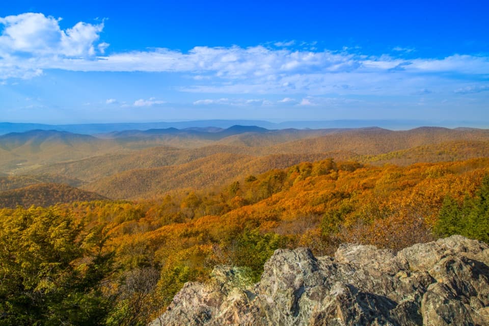 ModerateLewis Mountain and Laurel Prong Traverse17.3 mi · 15 hr · 3.1 mi awayA three-day traverse through Rapidan Camp to Lewis Falls
 ChallengingPocosin, Laurel Prong & Slaughter Loop28.9 mi · 22 hr · 3.1 mi awayA four-day loop links a tall waterfall, mission ruins, and Hoover's camp.
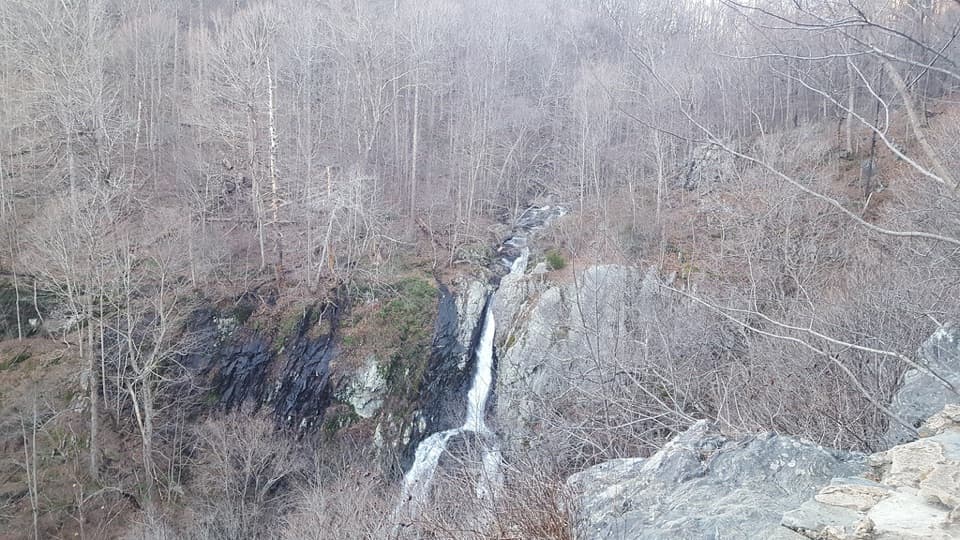 ChallengingSouth River and Pocosin Loop8.4 mi · 8 hr · 3.2 mi awayA two-day backpack loop to South River Falls and Pocosin country.ModeratePocosin & Dry Run Backcountry Trip7.4 mi · 5.5 hr · 3.2 mi awayAn 83-foot waterfall anchors a flexible two-night backcountry loop.
 ModerateSouth River Falls Base Loop4.6 mi · 3.5 hr · 3.2 mi awayGo beyond the overlook to stand beneath an 83-foot, two-chute waterfall.
 ModerateSouth River Falls Circuit3.3 mi · 2.3 hr · 3.2 mi awayWaterfall overlook, then a loop back by fire road and the A.T.
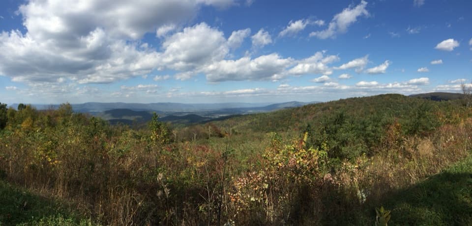 Sight · 0.5 mi awaySwift Run OverlookA roadside orientation stop when the valley view opens up.
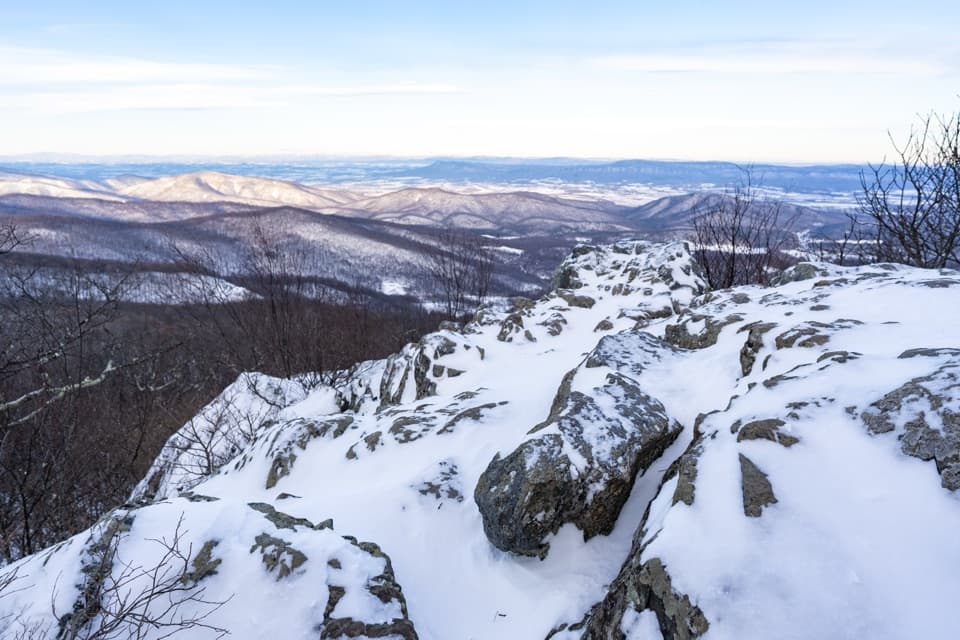 Sight · 0.6 mi awayHightop SummitA rocky ledge and layered ridges reward the uphill climb.
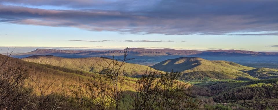 Scenic pullout · 0.9 mi awaySandy Bottom OverlookA quick westward look over the Shenandoah Valley
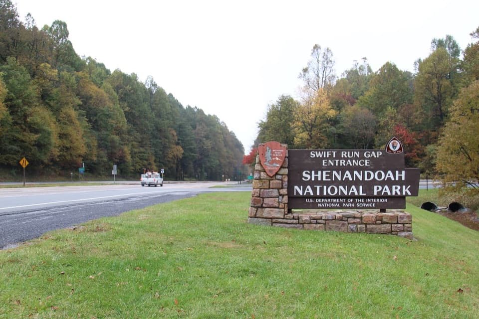 Entrance station · 1 mi awaySwift Run EntranceChoose north for Big Meadows; south is quieter.
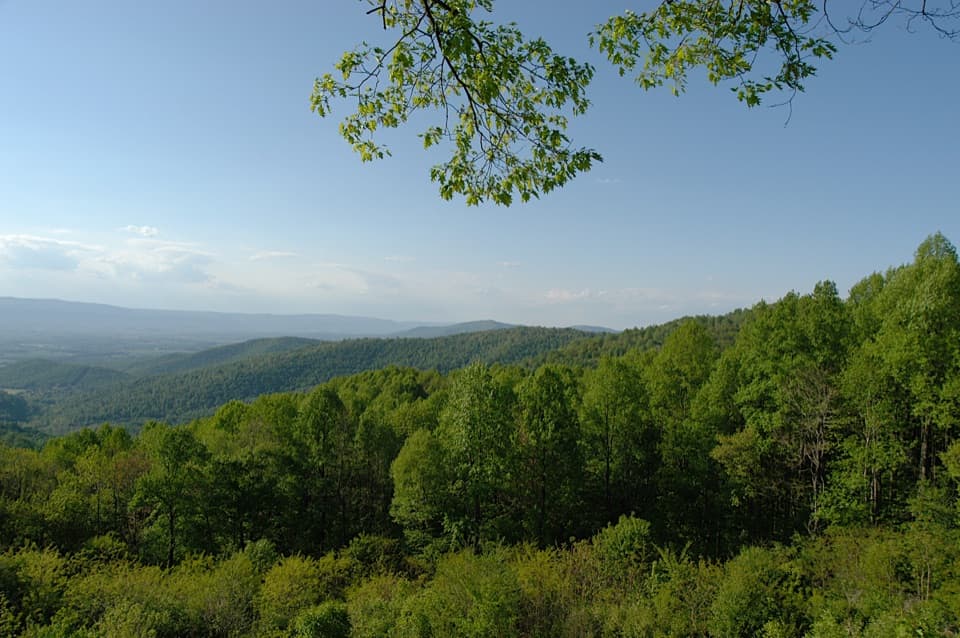 Scenic pullout · 1.8 mi awayHensley Hollow OverlookLook north past Hensley Ridge toward Elkton.
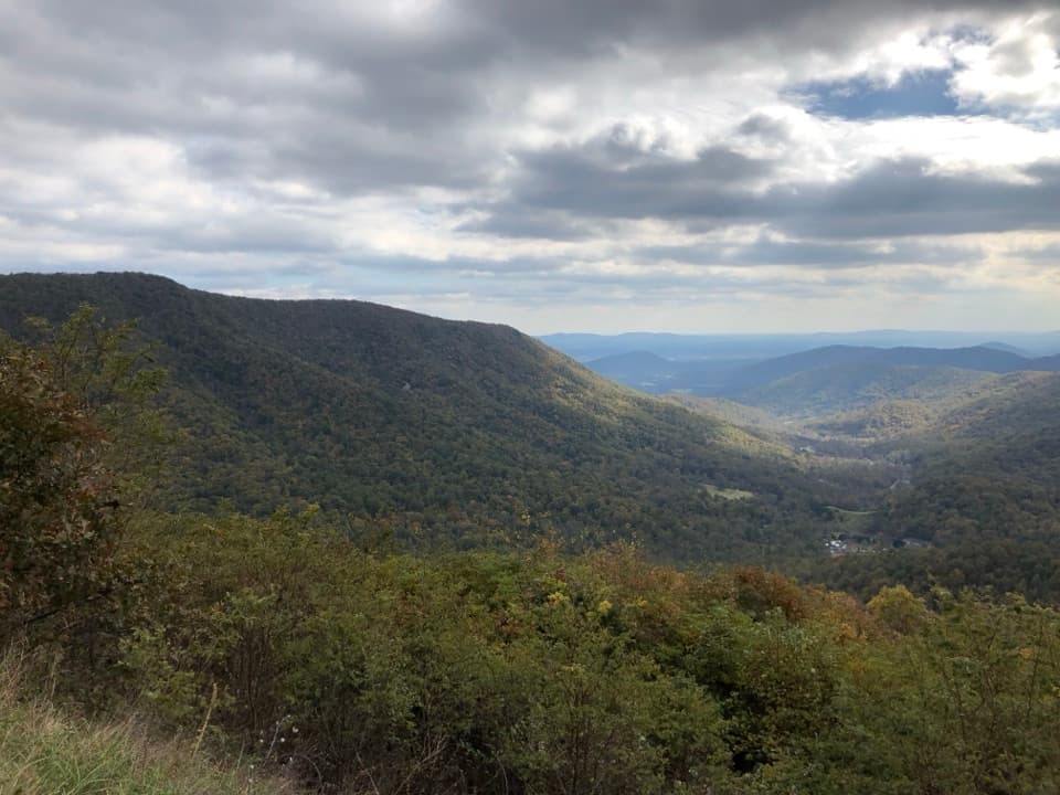 Scenic pullout · 2.3 mi awayBacon Hollow OverlookStonework frames a south-facing view across the hollow to the Piedmont.
 Picnic area · 3.1 mi awaySouth River Picnic GroundsA shaded picnic stop that doubles as a South River Falls trailhead.
 Scenic pullout · 3.2 mi awayEaton Hollow OverlookA quick valley view through one small window in the trees.
Parkwolf’s Shenandoah ranking

The audio tour guide for the drive, plus offline maps, trails, and wildlife heatmaps for when the signal drops.





