Good Harbor Beach (CR 651) in Sleeping Bear Dunes National Lakeshore

Beach · Sleeping Bear Dunes National Lakeshore

Good Harbor Beach (CR 651)

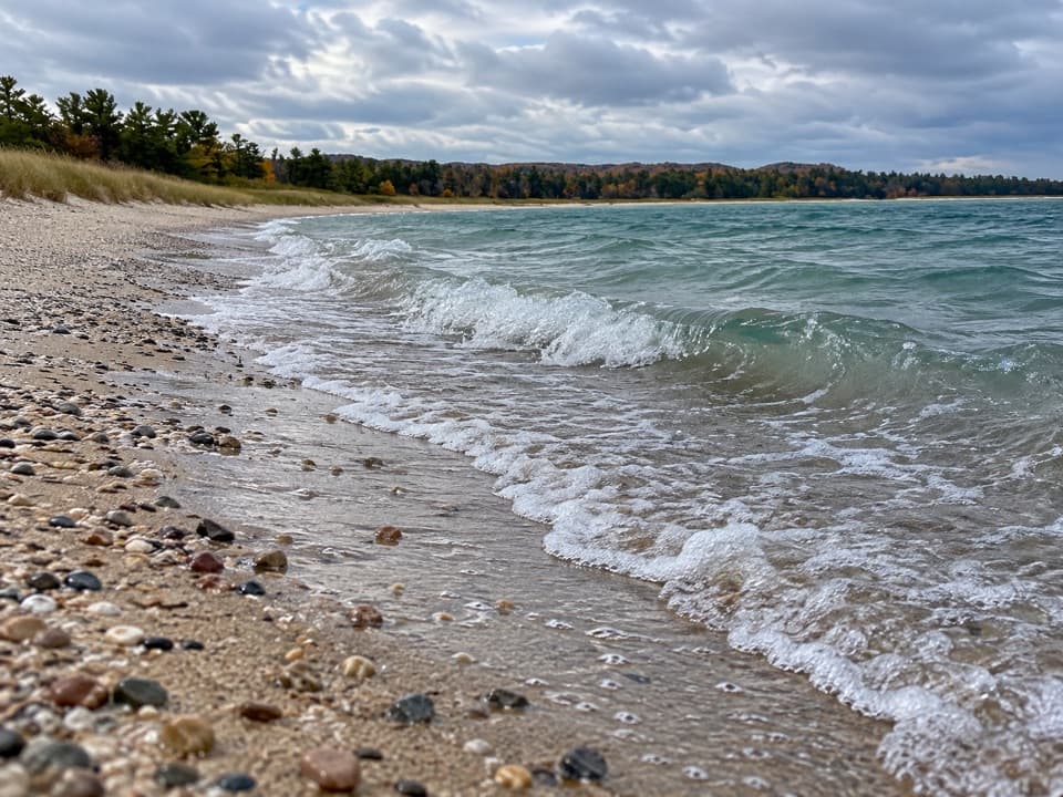
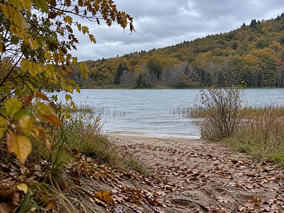
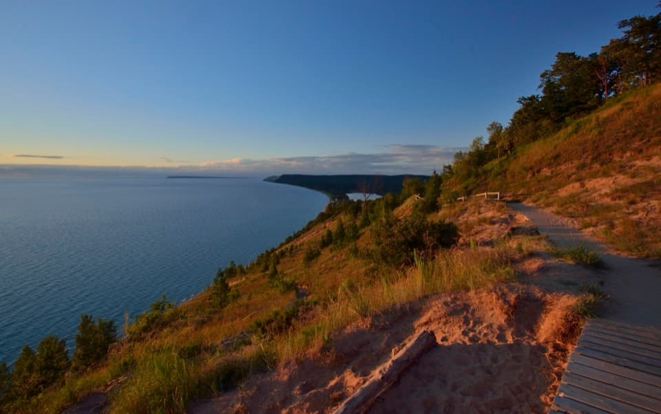
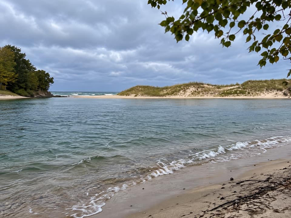
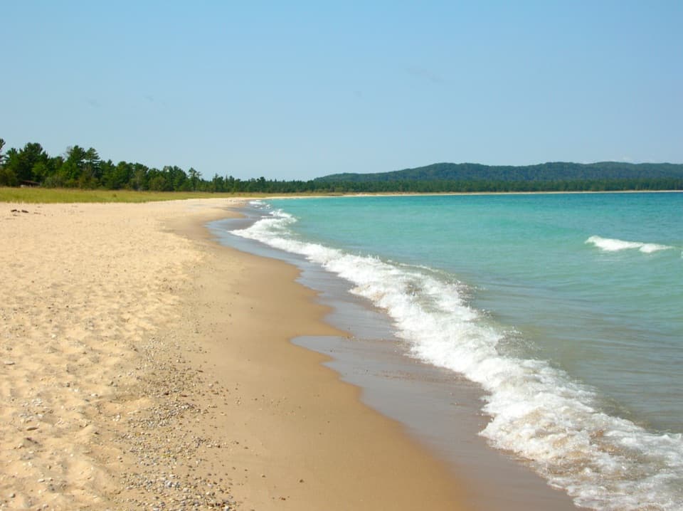
A soft-sand beach with big Lake Michigan sunset views.

Photo: National Park Service
Type
Beach
Nearest trail
2.4 mi
Audio stories
5 nearby
  • Parking
  • Restrooms
  • Picnic tables
  • #15 of 72 sights

Hear the audio tour

Good Harbor Beach at CR 651: Sunset over the Bay

Overview

About Good Harbor Beach (CR 651)

Why stop

  • A wide, open shore with sunset views and named landmarks across the bay.

Heads up

  • Parking can fill on busy days.
  • The last stretch to the shore is soft sand.

Map

Where it is

Loading the Sleeping Bear Dunes map
Full map
BeachGood Harbor Beach (CR 651)44.94787, -85.81169
Keep this map with you offline in the Parkwolf app

Plan your stop

Before you go

Check the beach conditions and rules

Lake Michigan conditions can change quickly, so check the swim-risk level before getting in. Leashed dogs are allowed only north of CR 651—the right-hand stretch when you face the water—and must stay out of closed areas. Sections can close to protect nesting piping plovers, so follow posted signs. Beach fires are allowed between the water’s edge and the dune line, away from vegetation; use approved firewood and extinguish the fire with water. Kayaks and paddleboards are carry-in; there’s no boat ramp.


1 active Sleeping Bear Dunes alert

  • ClosureManitou Islands access closures during 2026 constructionNorth and South Manitou Islands have limited visitor access throughout the 2026 season: all facilities, docks, and utilities on both islands remain closed during major construction.Official details
Sleeping Bear Dunes alerts
A park ranger sits on a dash-mounted phone, talking, as Parkwolf’s Tour Guide plays “Army Cutworm Moths: A Grizzly Bear Buffet” on Grand Loop Road below Dunraven Pass in Yellowstone
Parkwolf Tour GuideThe highest, rockiest slopes around here are a summer buffet for grizzly bears.

Sleeping Bear Dunes Tour Guide

Your drive to Good Harbor Beach (CR 651), narrated.

Parkwolf is a GPS audio tour guide for Sleeping Bear Dunes National Lakeshore. As you drive, it chimes in with what’s ahead: hidden gems, upcoming stops, history, geology, and wildlife, right through your car’s speakers.

Recorded for this place

Good Harbor Beach at CR 651: Sunset over the Bay
0:00 / 0:29
“You're approaching County Road six fifty-one, the access to Good Harbor Beach at the road's end. The open, west-facing shore makes this a good sunset stop, or bring a picnic and stay for a swim.”

Plays as you drive up to Good Harbor Beach (CR 651) in the Parkwolf Sleeping Bear Dunes Tour Guide.

More stories near here in the app

  • Kropp Farm: Horses, Logs and a Smokehouse
  • Bufka Farm: A Cabin Inside the Chicken Coop
  • Rocks That Arrived by Ice
  • The Drumroll in the Woods
  • 73 audio storiesacross Sleeping Bear Dunes’s roads, triggered by GPS as you drive
  • Wildlife heatmapsfor Piping Plover, Bald Eagle, White-tailed Deer, and 13 more
  • Works offlinemaps, 34 trails, 89 places, and audio download before you lose signal
  • CarPlay readysimple controls built for the drive
★★★★★
“Fantastic app with many points of information… It’s great to just turn on while you’re driving and it gives you an audio tour of the national Park. We love it!!!!”
JMJamesApp Store review
Download Parkwolf on the App StoreGet Parkwolf on Google Play

4.7 from 8,600+ ratings

Guide

More about Good Harbor Beach (CR 651)

An easy stop on Lake MichiganGood Harbor Beach (CR 651) is a broad, west-facing Lake Michigan beach at the end of County…

Good Harbor Beach (CR 651) is a broad, west-facing Lake Michigan beach at the end of County Road 651, north of Glen Arbor. It’s a worthwhile stop for a swim, a carry-in paddle, or a sunset over Good Harbor Bay. The water is about 125 feet from parking across soft sand. A lot and roadside spaces serve the access, and parking can fill on busy days. There are picnic tables and a vault toilet, but no food service is listed, so bring a picnic if you’re staying. The beach is identified as wheelchair accessible, though the final stretch is soft sand; factor that in if you need a firm route to the water.

Look across the bayThe open shore faces west.

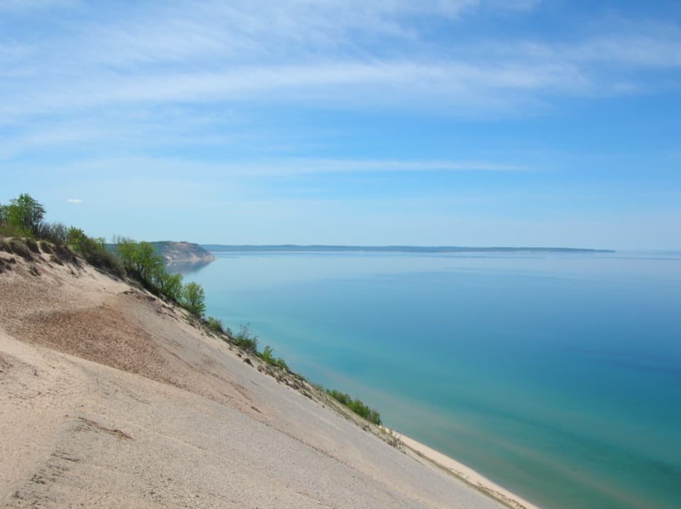
The open shore faces west. Pyramid Point rises to the west, with the Whaleback and North Manitou Island to the north; on a clear day, you may also see the Fox Islands. For a photo, use the curve of shoreline in the foreground and look west near sunset.

A lumber village stood hereGood Harbor grew as a small settlement around a sawmill and dock in the mid-1870s.

Good Harbor grew as a small settlement around a sawmill and dock in the mid-1870s. As timber ran low, the mill and about a million feet of lumber burned in 1905. It wasn’t rebuilt, and the post office closed in 1907. In 1924, John Peters bought most of the remaining buildings and dismantled them for lumber. The shoreline pilings are the only trace of the village.

Ice shaped the bayGlacial moraines shaped Good Harbor and the nearby lakes.

Glacial moraines shaped Good Harbor and the nearby lakes. Waves later cut into those deposits, while wind and water moved lighter sand onto higher ground to form dunes. The beach and dunes belong to the same changing shoreline.

Wildlife

Wildlife in Sleeping Bear Dunes

All Sleeping Bear Dunes wildlife maps

Sighting maps show where each species has been reported across Sleeping Bear Dunes. Wildlife moves, so no sighting is guaranteed.

Parkwolf’s Sleeping Bear Dunes ranking

Top sights in Sleeping Bear Dunes

All 89 places
  1. 1Dune ClimbSight
  2. 2Lake Michigan OverlookSight
  3. 3Pyramid Point OverlookSight
  4. 4Empire Bluff OverlookSight
  5. 5South Manitou Lighthouse ComplexSight
  6. 6North Bar BeachBeach

Take Parkwolf to Sleeping Bear Dunes.

The audio tour guide for the drive, plus offline maps, trails, and wildlife heatmaps for when the signal drops.

4.7 from 8,600+ ratings

Download Parkwolf on the App StoreGet Parkwolf on Google Play