Parking
From County Road 669, take Lake Michigan Road to the Good Harbor Bay access. Use the gravel lot at the trailhead; the nearby picnic area and beach share the access.
Sleeping Bear Dunes National Lakeshore, MI
Dune grass gives way to quiet woods, wetlands and Lake Michigan access
Overview
Map & elevation
Plan your hike

The highest, rockiest slopes around here are a summer buffet for grizzly bears.
Sleeping Bear Dunes Tour Guide
Parkwolf is a GPS audio tour guide for Sleeping Bear Dunes National Lakeshore. As you drive, it chimes in with what’s ahead: hidden gems, upcoming stops, history, geology, and wildlife, right through your car’s speakers.
See the Sleeping Bear Dunes audio tourRecorded for this trailhead
Good Harbor Bay Trail: Beach First, Woods Beyond“You're approaching the Good Harbor Bay trailhead, for an easy loop from dune grass into woods and wetlands. Allow an hour to an hour and a half for the two-point-eight-mile circuit over almost-level ground.”
Plays as you drive up to this trailhead in the Parkwolf Sleeping Bear Dunes Tour Guide.
More stories near here in the app
“Fantastic app with many points of information… It’s great to just turn on while you’re driving and it gives you an audio tour of the national Park. We love it!!!!”


Trail guide
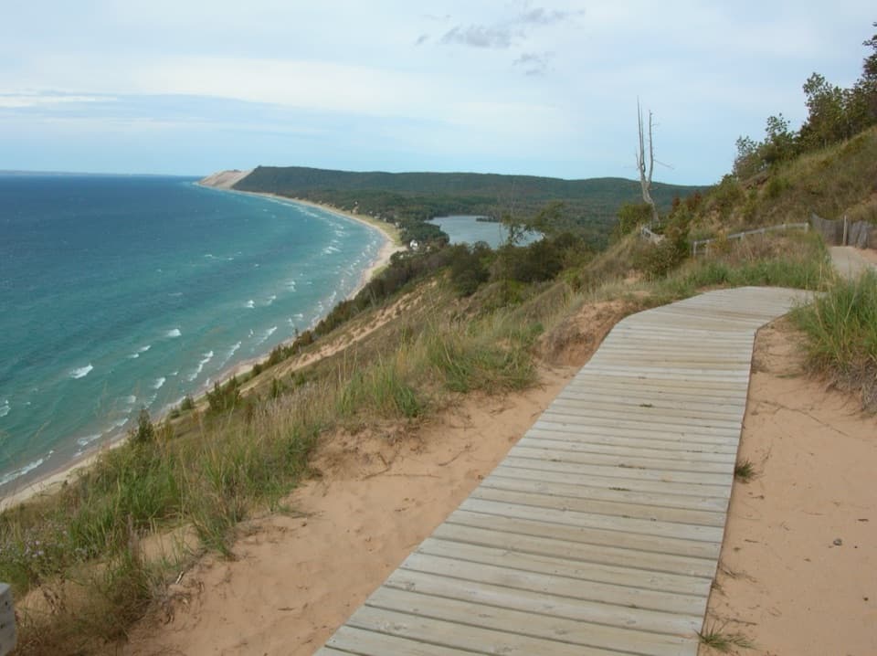
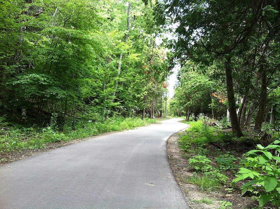
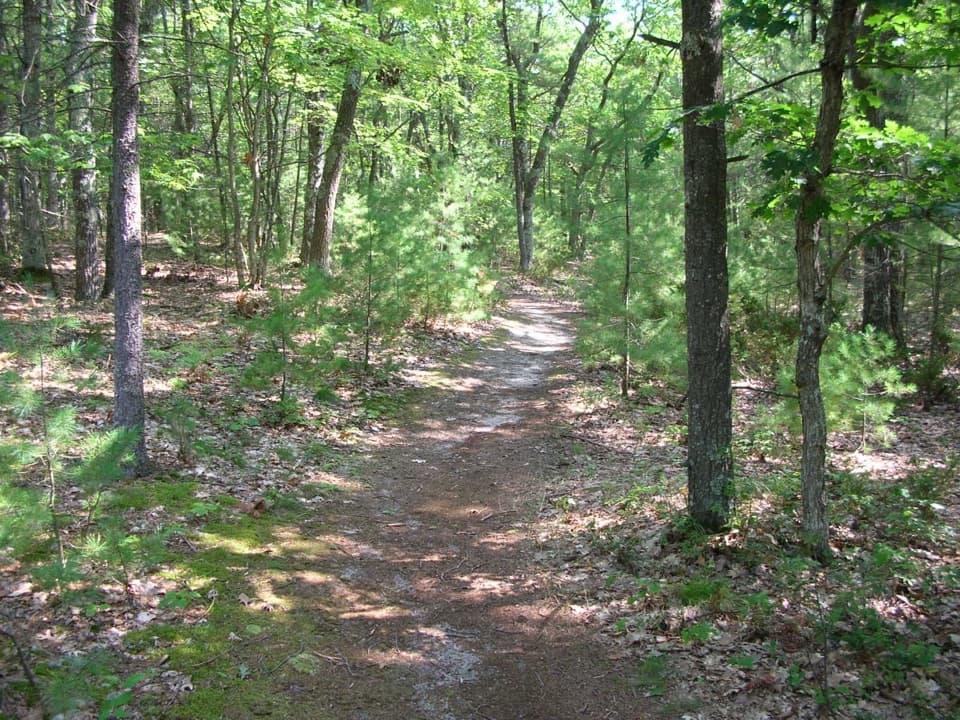
Good Harbor Bay Trail is an easy 2.8-mile loop from the lakeshore trailhead through low dunes, wet ground and mostly woods. It is almost level, with just a few small grades; allow about 1 to 1½ hours for the loop and extra time for the beach. The short beach access is near the beginning, then the trail turns inland for most of the walk.
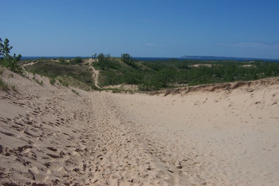
The route starts on sandy ground through tall dune grass. A brief low-dune stretch opens toward Lake Michigan before the trail heads into woodland. In the wetland section, a small bridge and narrow boardwalk help with the soggier ground. Expect an easy walk with a change of plant communities, rather than a long shoreline panorama.
Low swampy sections can be muddy or waterlogged, and repeated reports describe flooding that has interrupted the loop. That does not establish the trail’s current condition; check with the park after heavy rain before setting out. Mosquitoes can be persistent around the wet ground in warm, humid weather, so pack repellent.
A short sandy access near the start reaches Lake Michigan. The nearby picnic shoreline looks toward Pyramid Point and North Manitou Island; those broader views are from the beach and picnic area, while most of the loop stays in the woods. The picnic table and beach are at the shared access, and there is no food service on the route.
The narrow strip between Lake Michigan and Little Traverse Lake was underwater at the end of the Ice Age and emerged gradually afterward. Along the walk, active dunes give way to shrubs, pine-oak forest and the beginnings of beech-maple woods. Plant growth built topsoil over the older dunes, so some of today’s forested ground was once shoreline.
Pets are allowed from April 1 through November 30 and prohibited from December 1 through March 31. The trail is also used for winter skiing, so check the seasonal rule before bringing a dog.
Wildlife
 27 sightingsPiping PloverMost seen around 6 PMSighting map
 70 sightingsBald EagleMost seen around 10 AMSighting map
 56 sightingsWhite-tailed DeerMost seen around 6 AMSighting map
 68 sightingsSandhill CraneMost seen around 7 AMSighting map
 58 sightingsPorcupineMost seen around 8 PMSighting map
 31 sightingsLoonMost seen around 5 PMSighting map
Sighting maps show where each species has been reported across Sleeping Bear Dunes. Wildlife moves, so no sighting is guaranteed.
Keep exploring
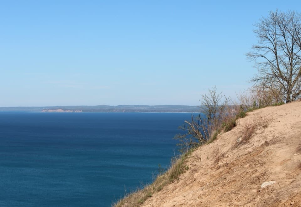 ModeratePyramid Point Trail2.7 mi · 1.8 hr · 4 mi awayA short climb, then a bluff view across the Manitou Islands.
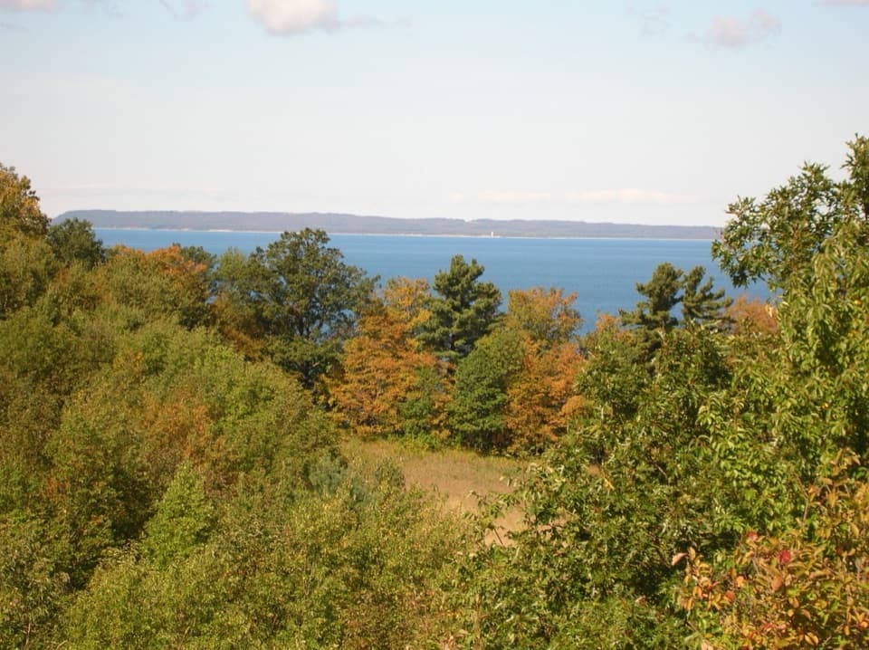 EasyBay View Farm Loop2.4 mi · 1.5 hr · 4.5 mi awayA 2.4-mile farm loop to a schoolhouse and Lake Michigan view.
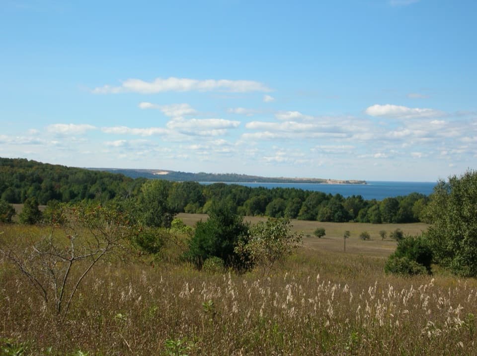 ModerateBay View Ridge Loop4 mi · 2.5 hr · 4.5 mi awayLake views, Port Oneida farm history, and one honest uphill pull.
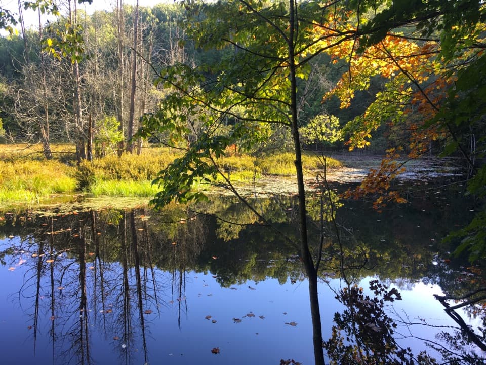 ModerateKettles Trail3 mi · 2 hr · 8.5 mi awayA quiet walk through rare kettles, ponds and bog.
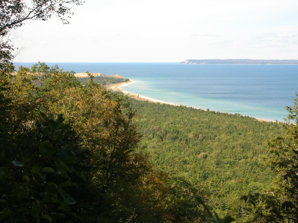 ModerateAlligator Hill Intermediate Loop4.7 mi · 2.5 hr · 8.7 mi awayA hilly forest loop to Islands Lookout and Manitou views.EasyAlligator Hill Easy Loop3 mi · 1.8 hr · 8.7 mi awayA forest climb opens onto Lake Michigan and the islands.ModerateAlligator Hill Advanced Loop4.6 mi · 2.8 hr · 8.7 mi awayFollow the steep southern loop to Islands Lookout above Lake Michigan.
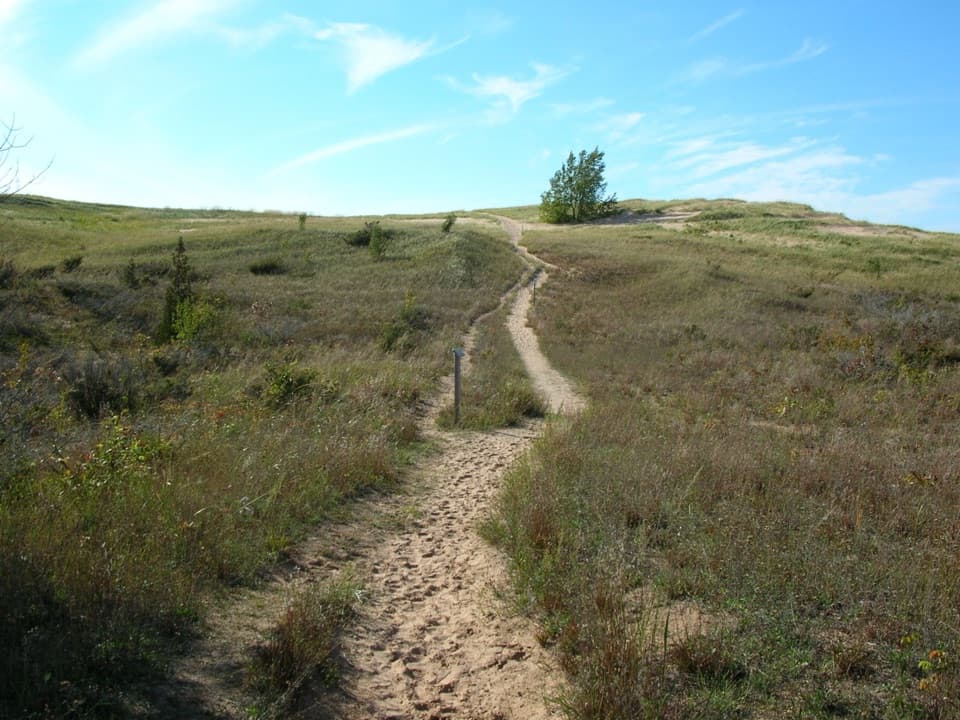 ChallengingSleeping Bear Point Trail2.8 mi · 2 hr · 9.1 mi awayGhost forest, open dunes, and Lake Michigan in one sandy loop.
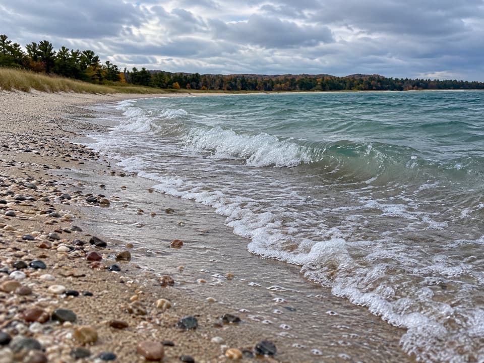 Beach · 0.8 mi awayGood Harbor Beach (Bohemian Road / CR 669)Clear shallows, pebble-rich sand, and a creek just down the shore.
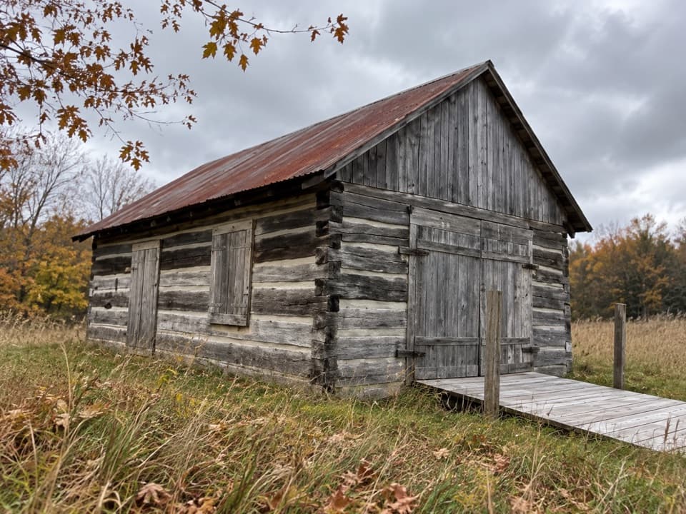 Sight · 1.4 mi awayShalda CabinA roadside cabin with dovetail joints and a settlement’s story.
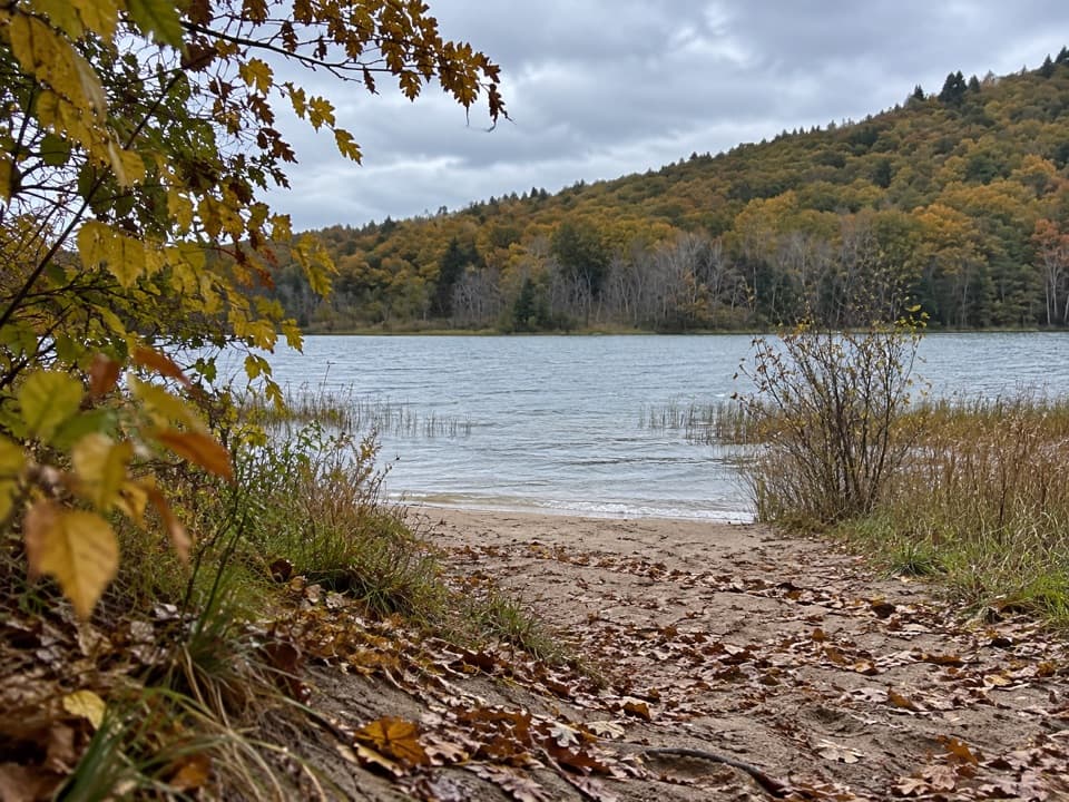 Beach · 1.5 mi awayBass Lake (North) AccessSmall sandy shore access for swimming, fishing, and launching kayaks.
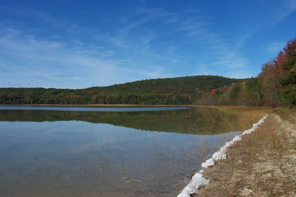 Sight · 1.7 mi awaySchool Lake AccessPaddle a shallow channel into neighboring Bass Lake.
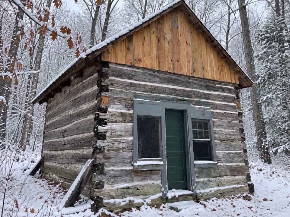 Sight · 2.1 mi awayKraitz CabinA 16-by-20-foot cabin that hosted the area's first Catholic masses.
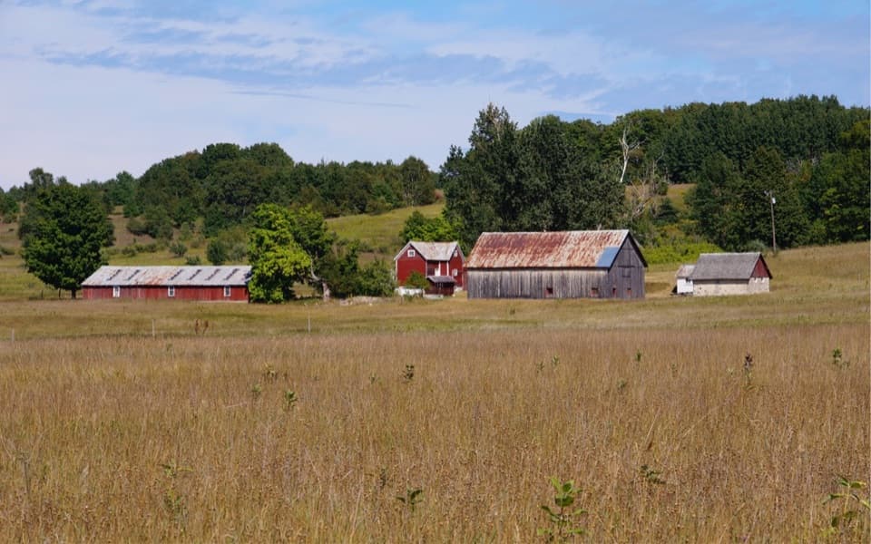 Sight · 2.1 mi awayBufka FarmA homestead cabin survives inside the chicken coop.
 Sight · 2.3 mi awayJohn & Margaretha Eitzen FarmWalk a preserved 1890s farmyard with a dairy barn and family story.
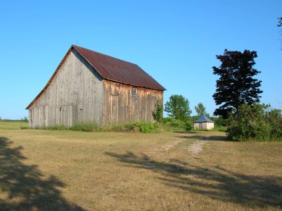 Sight · 2.3 mi awayKropp FarmA small farm stop where the granary tells a logging story.
Parkwolf’s Sleeping Bear Dunes ranking

The audio tour guide for the drive, plus offline maps, trails, and wildlife heatmaps for when the signal drops.