Good Harbor Beach (Bohemian Road / CR 669) in Sleeping Bear Dunes National Lakeshore

Beach · Sleeping Bear Dunes National Lakeshore

Good Harbor Beach (Bohemian Road / CR 669)

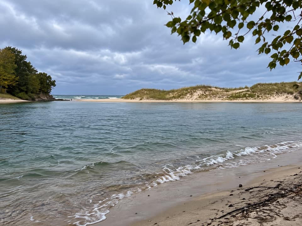
Clear shallows, pebble-rich sand, and a creek just down the shore.

Type
Beach
Nearest trail
0.8 mi
Audio stories
6 nearby
  • Parking
  • Restrooms
  • Picnic tables
  • #14 of 72 sights

Hear the audio tour

Good Harbor Beach at Bohemian Road: Stones in the Shallows

Overview

About Good Harbor Beach (Bohemian Road / CR 669)

Why stop

  • Shalda Creek reaches Lake Michigan just south of the access.

Heads up

  • Pebbles and rocks can make water entry rough underfoot.

Map

Where it is

Loading the Sleeping Bear Dunes map
Full map
BeachGood Harbor Beach (Bohemian Road / CR 669)44.93973, -85.87260
Keep this map with you offline in the Parkwolf app

Plan your stop

Before you go

1 active Sleeping Bear Dunes alert

  • ClosureManitou Islands access closures during 2026 constructionNorth and South Manitou Islands have limited visitor access throughout the 2026 season: all facilities, docks, and utilities on both islands remain closed during major construction.Official details
Sleeping Bear Dunes alerts
A park ranger sits on a dash-mounted phone, talking, as Parkwolf’s Tour Guide plays “Army Cutworm Moths: A Grizzly Bear Buffet” on Grand Loop Road below Dunraven Pass in Yellowstone
Parkwolf Tour GuideThe highest, rockiest slopes around here are a summer buffet for grizzly bears.

Sleeping Bear Dunes Tour Guide

Your drive to Good Harbor Beach (Bohemian Road / CR 669), narrated.

Parkwolf is a GPS audio tour guide for Sleeping Bear Dunes National Lakeshore. As you drive, it chimes in with what’s ahead: hidden gems, upcoming stops, history, geology, and wildlife, right through your car’s speakers.

Recorded for this place

Good Harbor Beach at Bohemian Road: Stones in the Shallows
0:00 / 0:29
“Good Harbor Beach at the end of Bohemian Road is coming up, with clear shallows and a long, gently sloping shoreline. Choose it for a beach walk or a swim, but expect pebbles and rocks among the sand underfoot.”

Plays as you drive up to Good Harbor Beach (Bohemian Road / CR 669) in the Parkwolf Sleeping Bear Dunes Tour Guide.

More stories near here in the app

  • Good Harbor Bay Trail: Beach First, Woods Beyond
  • Bass Lake North Access: A Simple Swim
  • The Freighter Full of Toys
  • School Lake Access: A Two-Lake Paddle
  • 73 audio storiesacross Sleeping Bear Dunes’s roads, triggered by GPS as you drive
  • Wildlife heatmapsfor Piping Plover, Bald Eagle, White-tailed Deer, and 13 more
  • Works offlinemaps, 34 trails, 89 places, and audio download before you lose signal
  • CarPlay readysimple controls built for the drive
★★★★★
“Fantastic app with many points of information… It’s great to just turn on while you’re driving and it gives you an audio tour of the national Park. We love it!!!!”
JMJamesApp Store review
Download Parkwolf on the App StoreGet Parkwolf on Google Play

4.7 from 8,600+ ratings

Guide

More about Good Harbor Beach (Bohemian Road / CR 669)

A long, low-slope Lake Michigan shoreThis is a broad Lake Michigan beach at the end of Bohemian Road (CR 669), north of Glen Arbor.

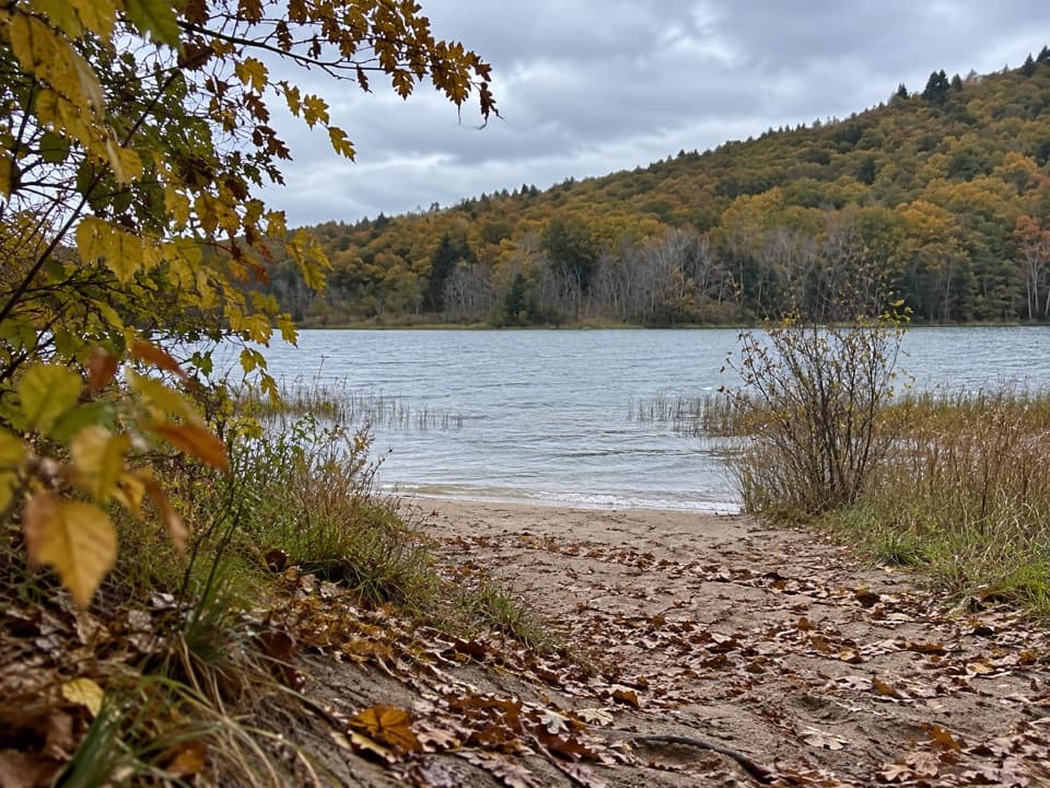
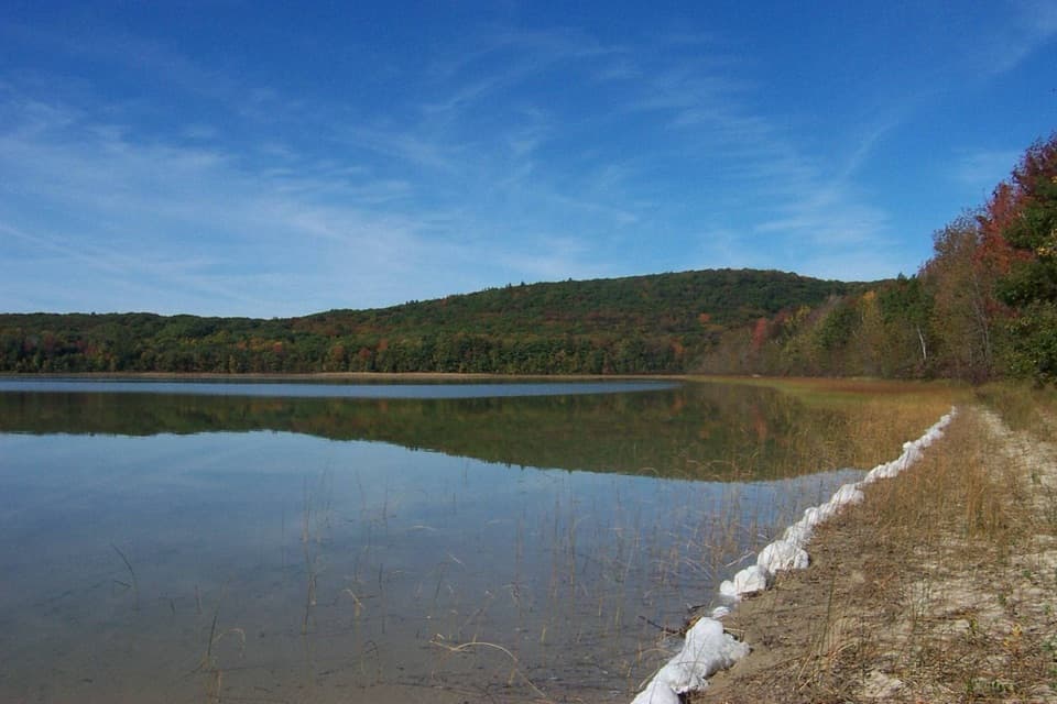
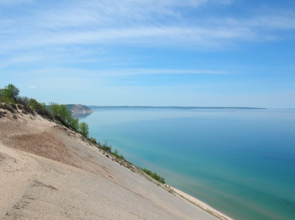
This is a broad Lake Michigan beach at the end of Bohemian Road (CR 669), north of Glen Arbor. It is known for pale, clear shallows, a gently sloping shore and open views across the lake. Come for a beach walk, a swim or an unhurried stretch of shoreline. The surface changes underfoot: there is soft sand, but the waterline and shallows also have rounded pebbles and rocks. Water shoes are useful if you plan to wade. Visitors report both quiet and busy days; the long shore gives you room to walk away from the access if it feels crowded.

Getting in and aroundBohemian Road runs from M-22 through Port Oneida to the beach at its end.

Bohemian Road runs from M-22 through Port Oneida to the beach at its end. The access has auto parking, a picnic table and a composting toilet. It is listed as wheelchair accessible, but the route and beach-surface details are not specified.

Facing Lake Michigan, leashed pets are generally allowed west, or left, of CR 669; pets are not allowed east, or right. Piping plovers nest on Lakeshore beaches in spring, so protected areas and temporary closures can change where you may walk. Follow posted signs. Lake Michigan waves and rip currents can become dangerous quickly, even at a gently sloping beach; check conditions before swimming.

Find Shalda CreekA few seconds south of the beach access, Shalda Creek runs from the woods into Lake Michigan.

A few seconds south of the beach access, Shalda Creek runs from the woods into Lake Michigan. Its water is warmer than the lake, making the creek mouth a small change of scene just beyond the open shore.

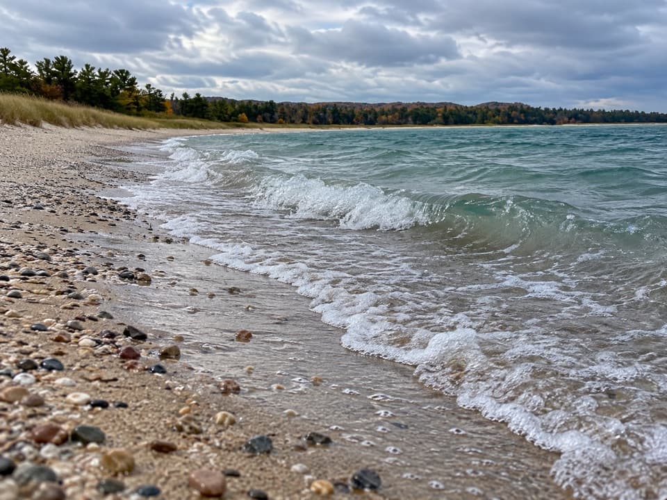
Look for stones, then leave them hereRounded pale pebbles show through the shallows.

Rounded pale pebbles show through the shallows. Look for Petoskey stones too: they are fossil colonial coral with a distinctive hexagonal pattern, smoothed by the waves. They are protected, so admire them where you find them.

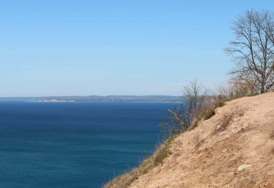
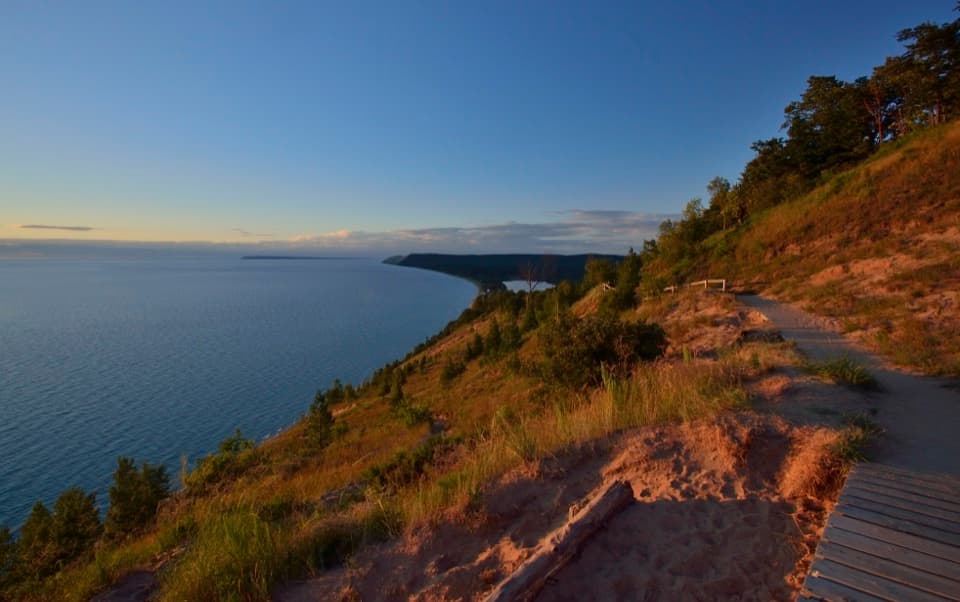
For a shoreline photo, use the stones and clear water as foreground, then let the curving beach lead your eye along the shore. The westward view across Lake Michigan takes in Pyramid Point and Whaleback dune, especially at sunset.

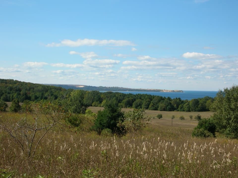
How the bay took shapeGood Harbor Bay once reached farther south into what are now Little Traverse and Lime Lakes.

Good Harbor Bay once reached farther south into what are now Little Traverse and Lime Lakes. As lake levels fell, spits and beach-and-dune ridges formed and separated the lakes; forest now hides much of the low ridge-and-swale pattern. The sand may have begun as Canadian glacial sediment, then was moved and reshaped by meltwater, ancestral lakes, waves and wind before becoming beaches and dunes.

North Unity at the creekNorth Unity stood at the mouth of Shalda Creek.

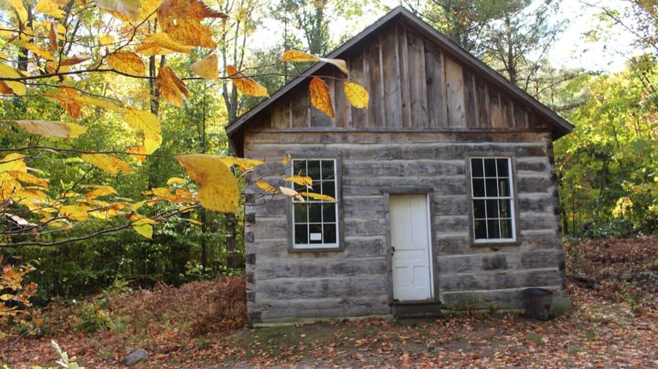
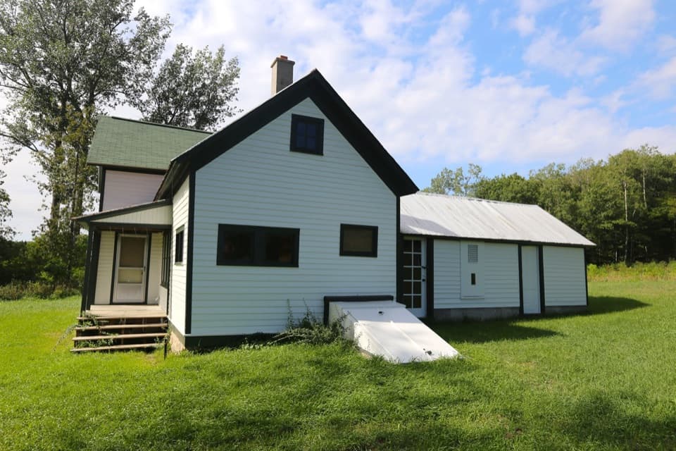
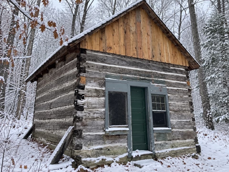
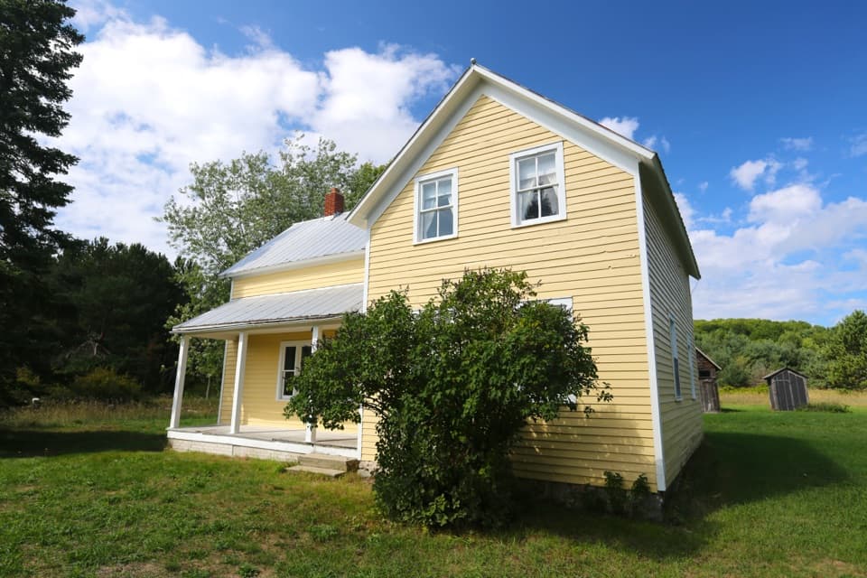
North Unity stood at the mouth of Shalda Creek. Bohemian settlers from what are now the Czech Republic and Germany arrived through Chicago and settled here in 1855. A shared barracks about 150 feet long and 20 feet wide sheltered the first winter. The settlement later had a sawmill and schoolhouse; a general store and post office opened in 1859, and John Shalda built a gristmill at the creek. Fire destroyed North Unity in 1871, and many families moved inland to what became Shalda Corners.

Wildlife

Wildlife in Sleeping Bear Dunes

All Sleeping Bear Dunes wildlife maps

Sighting maps show where each species has been reported across Sleeping Bear Dunes. Wildlife moves, so no sighting is guaranteed.

Parkwolf’s Sleeping Bear Dunes ranking

Top sights in Sleeping Bear Dunes

All 89 places
  1. 1Dune ClimbSight
  2. 2Lake Michigan OverlookSight
  3. 3Pyramid Point OverlookSight
  4. 4Empire Bluff OverlookSight
  5. 5South Manitou Lighthouse ComplexSight
  6. 6North Bar BeachBeach

Take Parkwolf to Sleeping Bear Dunes.

The audio tour guide for the drive, plus offline maps, trails, and wildlife heatmaps for when the signal drops.

4.7 from 8,600+ ratings

Download Parkwolf on the App StoreGet Parkwolf on Google Play