Platte River Point Beach in Sleeping Bear Dunes National Lakeshore

#7 of 72 sights in Sleeping Bear Dunes

Beach · Sleeping Bear Dunes National Lakeshore

Platte River Point Beach

Wade the river, then step into Lake Michigan.

Photo: National Park Service
Type
Beach
Nearest trail
2 mi
Audio stories
2 nearby
  • Parking
  • Restrooms
  • Scenic viewpoint
  • Exhibit

Hear the audio tour

Platte River Point: Beach and Birdlife

Overview

About Platte River Point Beach

Why stop

  • The Platte’s fast river mouth meets Lake Michigan at the beach.
  • A natural take-out for tubing and paddling trips.

Heads up

  • Summer lots fill as paddlers and tubers arrive at the river mouth.

Map

Where it is

Loading the Sleeping Bear Dunes map
Full map
BeachPlatte River Point Beach44.73191, -86.15378
Keep this map with you offline in the Parkwolf app

Plan your stop

Before you go

1 active Sleeping Bear Dunes alert

  • ClosureManitou Islands access closures during 2026 constructionNorth and South Manitou Islands have limited visitor access throughout the 2026 season: all facilities, docks, and utilities on both islands remain closed during major construction.Official details

Sleeping Bear Dunes alerts
A park ranger sits on a dash-mounted phone, talking, as Parkwolf’s Tour Guide plays “Army Cutworm Moths: A Grizzly Bear Buffet” on Grand Loop Road below Dunraven Pass in Yellowstone
Parkwolf Tour GuideThe highest, rockiest slopes around here are a summer buffet for grizzly bears.

Sleeping Bear Dunes Tour Guide

Your drive to Platte River Point Beach, narrated.

Parkwolf is a GPS audio tour guide for Sleeping Bear Dunes National Lakeshore. As you drive, it chimes in with what’s ahead: hidden gems, upcoming stops, history, geology, and wildlife, right through your car’s speakers.

Recorded for this place

Platte River Point: Beach and Birdlife
0:00 / 0:31
“You're coming up on Platte River Point Beach, where the river spills into Lake Michigan.”

Plays as you drive up to Platte River Point Beach in the Parkwolf Sleeping Bear Dunes Tour Guide.

More stories near here in the app

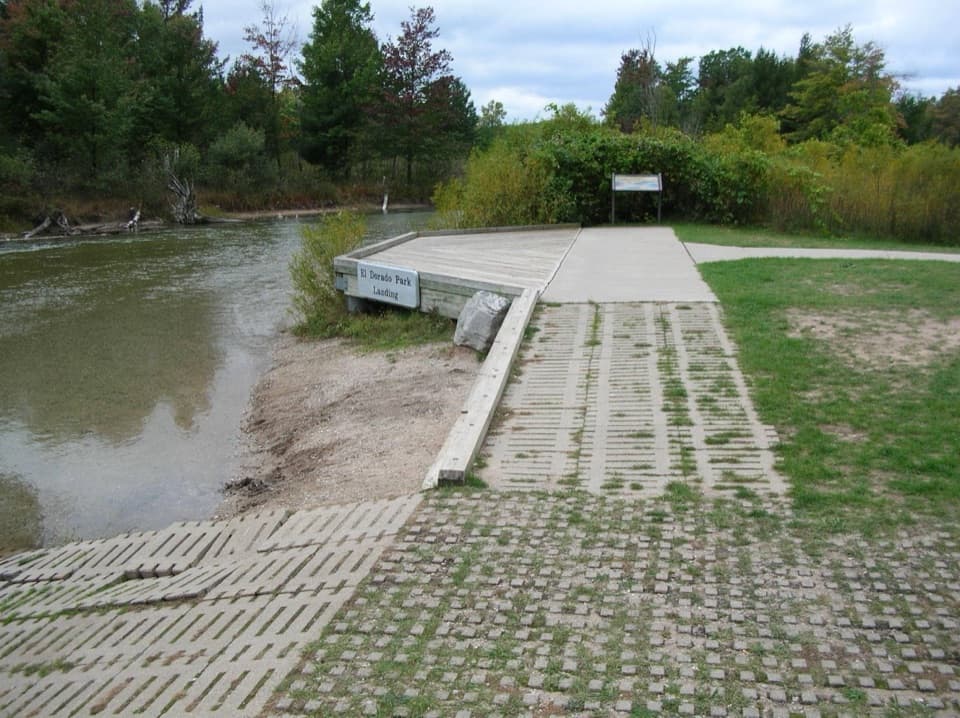
  • El Dorado: A Short Float to the Lake
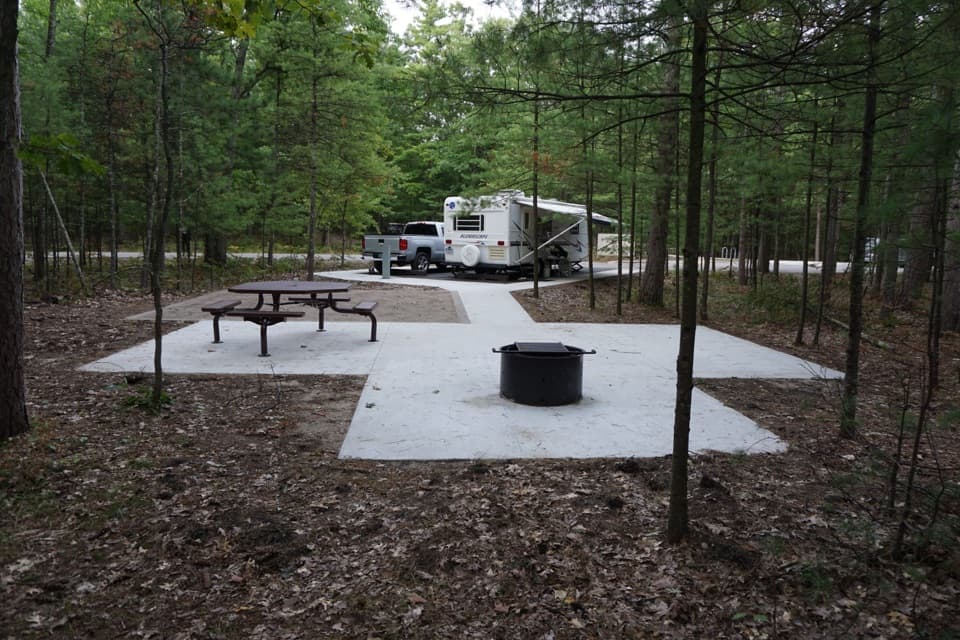
  • Platte River Campground: A Wooded Base
  • Boekeloo Lodge: A Cabin beside a Hand-Dug Pond
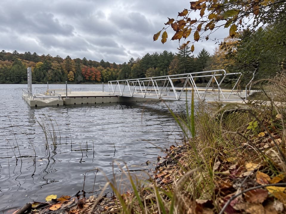
  • Loon Lake Access: Launch, Fish or Picnic
  • 73 audio storiesacross Sleeping Bear Dunes’s roads, triggered by GPS as you drive
  • Wildlife heatmapsfor Piping Plover, Bald Eagle, White-tailed Deer, and 13 more
  • Works offlinemaps, 34 trails, 89 places, and audio download before you lose signal
  • CarPlay readysimple controls built for the drive
★★★★★
“Fantastic app with many points of information… It’s great to just turn on while you’re driving and it gives you an audio tour of the national Park. We love it!!!!”
JMJamesApp Store review
Download Parkwolf on the App StoreGet Parkwolf on Google Play

4.7 from 8,600+ ratings

Guide

More about Platte River Point Beach

A beach with a river running through itPlatte River Point Beach is a sandy-gravel shore where the Platte River flows into Lake…

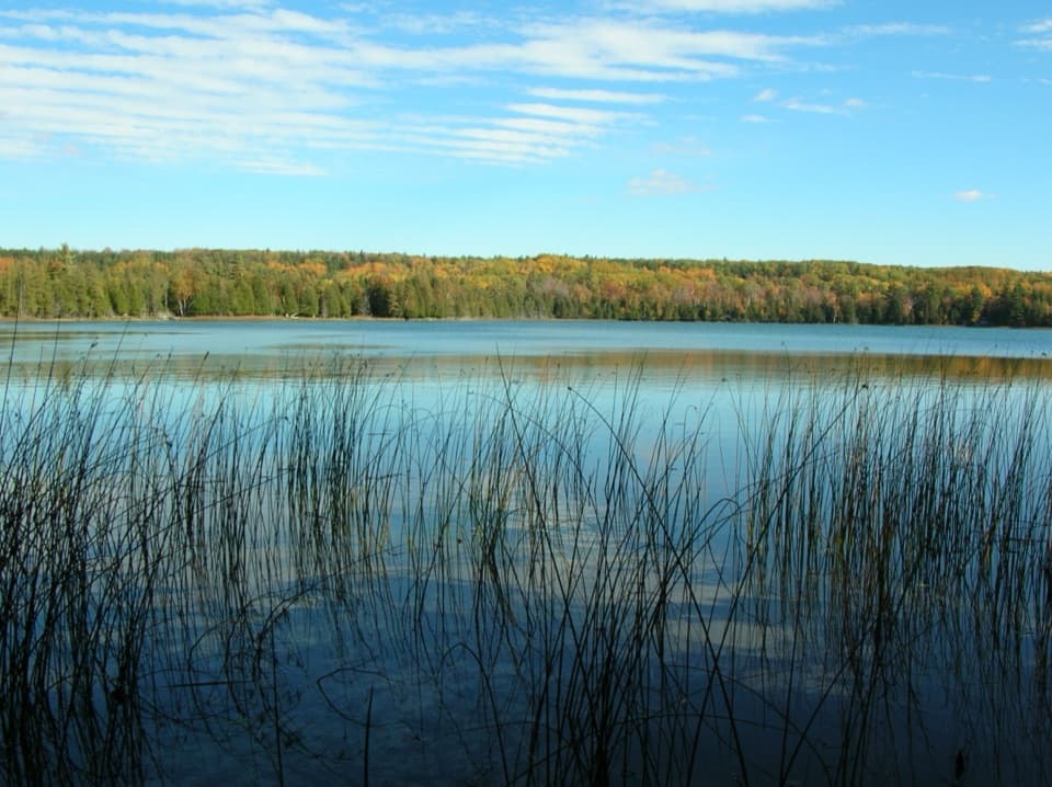
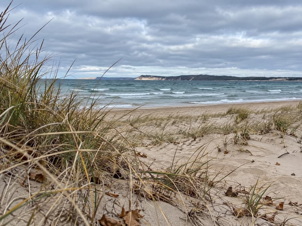
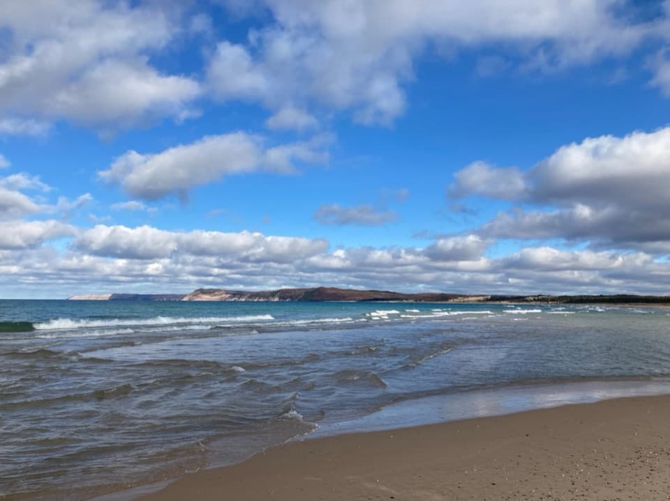
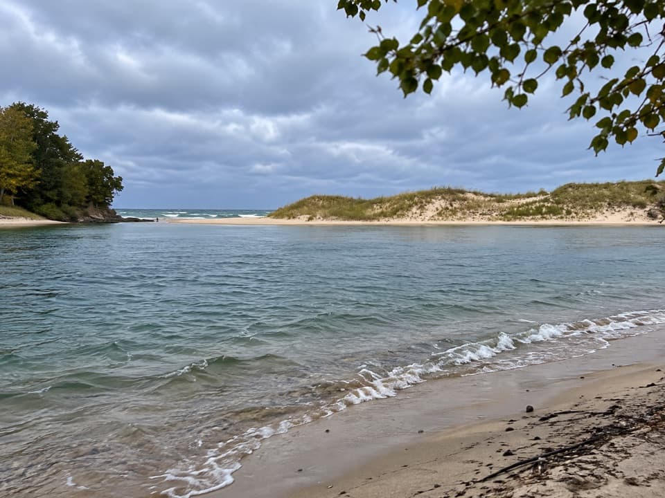
Platte River Point Beach is a sandy-gravel shore where the Platte River flows into Lake Michigan. Many visitors come off the river here after tubing, canoeing or kayaking; others come to wade the moving freshwater, swim, watch birds or look across Platte Bay. The mix of a shallow river mouth and open lake makes this a more varied stop than a straight stretch of beach. Expect the busiest scene in hot summer weather, when float trips finish here and the parking lots fill.

Plan the stopTake Lake Michigan Road off M-22 near Honor.

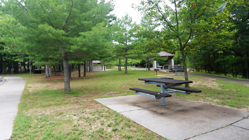
Take Lake Michigan Road off M-22 near Honor. Two National Park Service lots sit on opposite sides of the road; the river take-out is by the south lot, and a paved launch at the road’s end serves boats heading onto Lake Michigan. The beach is a short walk from the lots. The south lot has accessible parking and dressing rooms; restrooms and drinking water are seasonal and may only be available from Memorial Day to Labor Day. There are raised charcoal grills by the lot. Adjacent Lake Township Park has a separate picnic area and user fee. Pets are not allowed on the beach. There are no lifeguards at Lakeshore beaches, and breaking waves can produce dangerous rip currents; keep children close and follow posted closure signs.

Where the river meets the lakeThe Platte runs shallow and fast near its mouth, then spills into deeper Lake Michigan.

The Platte runs shallow and fast near its mouth, then spills into deeper Lake Michigan. On a breezy day, waves form where the two waters meet. It is a natural finish for a float and an easy place to choose between wading in the current and swimming in the lake. The river is busiest in high summer, when tubes, canoes and kayaks arrive in clusters; the beach can feel crowded around the take-out.

Frame both watersFor a photo, stand where the river reaches the lake and include the channel and open water…

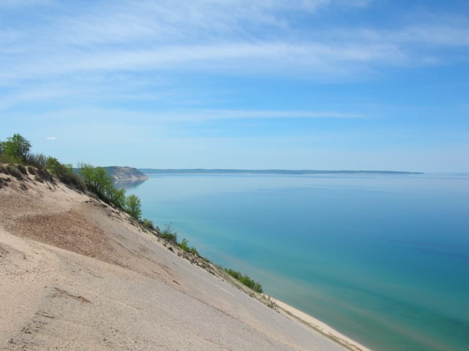
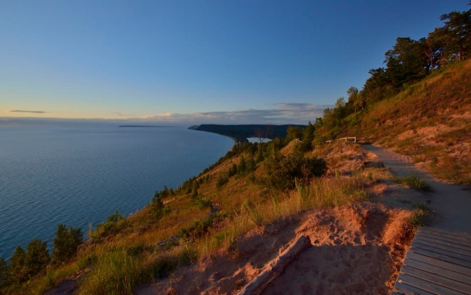
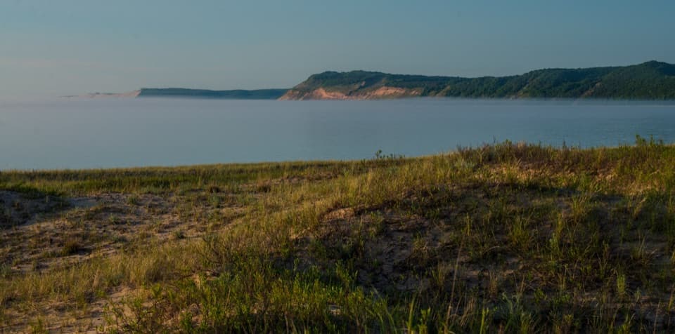
For a photo, stand where the river reaches the lake and include the channel and open water together; the meeting line and sand spit explain what makes this beach distinctive. The view opens across Platte Bay toward Empire Bluffs and Sleeping Bear Point. Sunset is a visitor favorite, though the color and light depend on the weather.

A shoreline that movesAn active dune field formed at the river mouth.

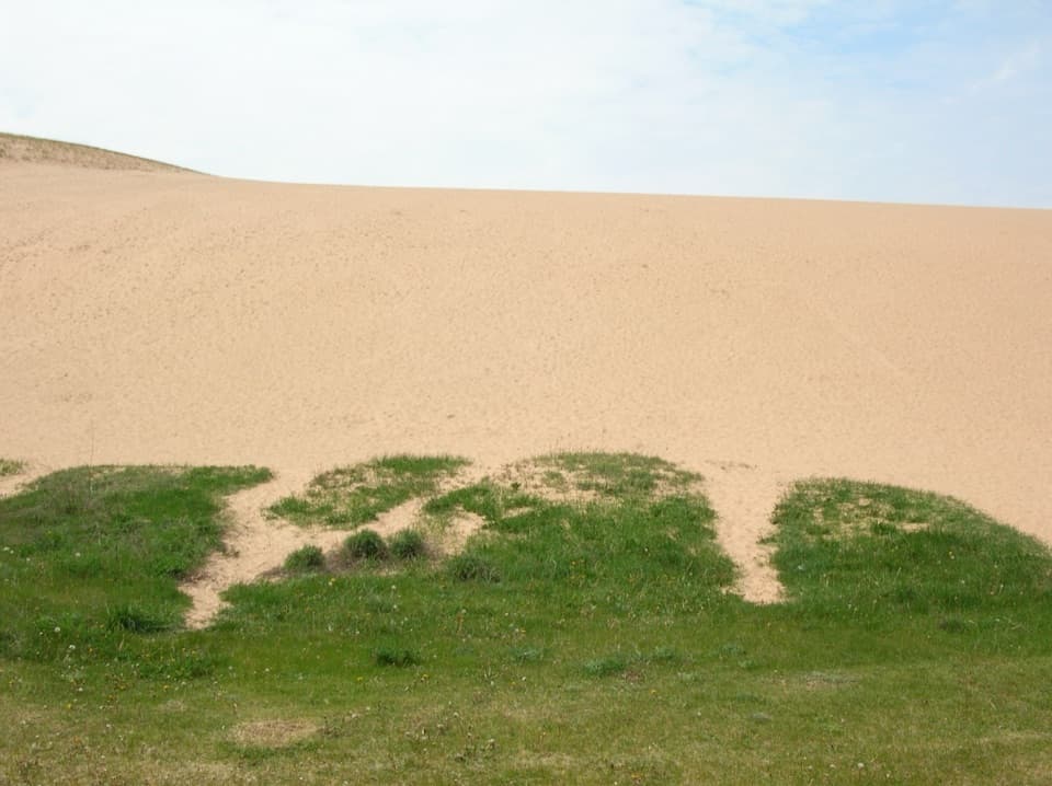
An active dune field formed at the river mouth. The beach is gravelly-sandy near the point and becomes sandier farther north. In summer, small nearshore sandbars migrate toward shore and widen the beach; fall storms carry that sand offshore again. Waves leave changing patterns and sometimes concentrate dark magnetite in thin layers. A magnet can separate those dark grains from the other heavy minerals.

Shorebirds and dune plantsThe river mouth is an important summer birding area.

The river mouth is an important summer birding area. Look for piping plovers, spotted sandpipers, killdeer and Caspian terns, without expecting any one species on a given visit. Piping plovers nest here in spring, so sections of shoreline may close temporarily. Pitcher’s thistle also grows on the Lakeshore’s dunes and blooms only once, at about seven years old. Stay on wooden walkways and established paths to protect it.

Earlier visitsArchaeological investigations show that small groups of closely related people made brief…

Archaeological investigations show that small groups of closely related people made brief visits here during the Woodland Period, from 600 B.C. to A.D. 1620. Their reason for stopping is unknown; possible explanations include traveling to hunting grounds, longer hunting trips or gathering plants and berries. The evidence points to short stays, not a settled village.

Wildlife

Wildlife in Sleeping Bear Dunes

All Sleeping Bear Dunes wildlife maps

Sighting maps show where each species has been reported across Sleeping Bear Dunes. Wildlife moves, so no sighting is guaranteed.

Parkwolf’s Sleeping Bear Dunes ranking

Top sights in Sleeping Bear Dunes

All 89 places
  1. 1Dune ClimbSight
  2. 2Lake Michigan OverlookSight
  3. 3Pyramid Point OverlookSight
  4. 4Empire Bluff OverlookSight
  5. 5South Manitou Lighthouse ComplexSight
  6. 6North Bar BeachBeach

Take Parkwolf to Sleeping Bear Dunes.

The audio tour guide for the drive, plus offline maps, trails, and wildlife heatmaps for when the signal drops.

4.7 from 8,600+ ratings

Download Parkwolf on the App StoreGet Parkwolf on Google Play