Parking
Use the gravel Bay View Trailhead lot at the north end of South Thoreson Road, about a quarter-mile off M-22. A Sleeping Bear Dunes entrance pass is required; there is no drinking water at the trailhead.
#9 of 34 trails in Sleeping Bear Dunes
Sleeping Bear Dunes National Lakeshore, MI
Lake views, Port Oneida farm history, and one honest uphill pull.
Overview
Map & elevation
Plan your hike

The highest, rockiest slopes around here are a summer buffet for grizzly bears.
Sleeping Bear Dunes Tour Guide
Parkwolf is a GPS audio tour guide for Sleeping Bear Dunes National Lakeshore. As you drive, it chimes in with what’s ahead: hidden gems, upcoming stops, history, geology, and wildlife, right through your car’s speakers.
Recorded for this trailhead
Bay View Trails: Farms or the Longer Ridge Loop“As you approach the Bay View trailhead, consider the Farm Loop for old fields, Port Oneida School and a tree-framed view of Lake Michigan.”
Plays as you drive up to this trailhead in the Parkwolf Sleeping Bear Dunes Tour Guide.
More stories near here in the app
“Fantastic app with many points of information… It’s great to just turn on while you’re driving and it gives you an audio tour of the national Park. We love it!!!!”


Trail guide
Bay View Ridge Loop is a nearly four-mile circuit through wooded bluffs and Port Oneida farm country, with an open ridge above Lake Michigan. It links historic farm fields to the lower trail along the bluff, then climbs back to the High Trail. The short out-and-back to Lookout Point belongs in the outing; it is one of the best views on the route. The current listed distance is 4 miles, while a detailed route description and the mapped corridor work out to about 3.7, so plan for roughly four miles with the lookout included. Allow two to three hours if you stop at the viewpoint and farms. Most of the walk rolls gently; one short climb gains more than 100 feet. Choose this loop for a longer mix of lake views and local history. The separate Farm Loop is an easier 2.4-mile choice; the full Bay View network is much longer.
The main gravel lot is at the north end of South Thoreson Road, about a quarter-mile off M-22. A Sleeping Bear Dunes entrance pass is required, and there is no drinking water at the trailhead. Follow the route north through hardwoods to the first numbered junction, take the grassy spur to Lookout Point, then return to the junction and continue around the loop. Miller Road, Port Oneida Road, and Thoreson Road each cross the route, so watch for traffic at those crossings. Keep dogs on a six-foot leash. Bay View is also a ski trail, and pets are prohibited on it from December 1 through March 31.
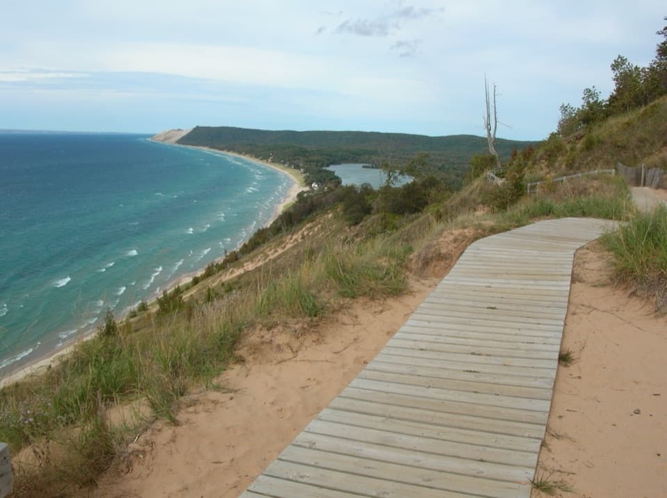
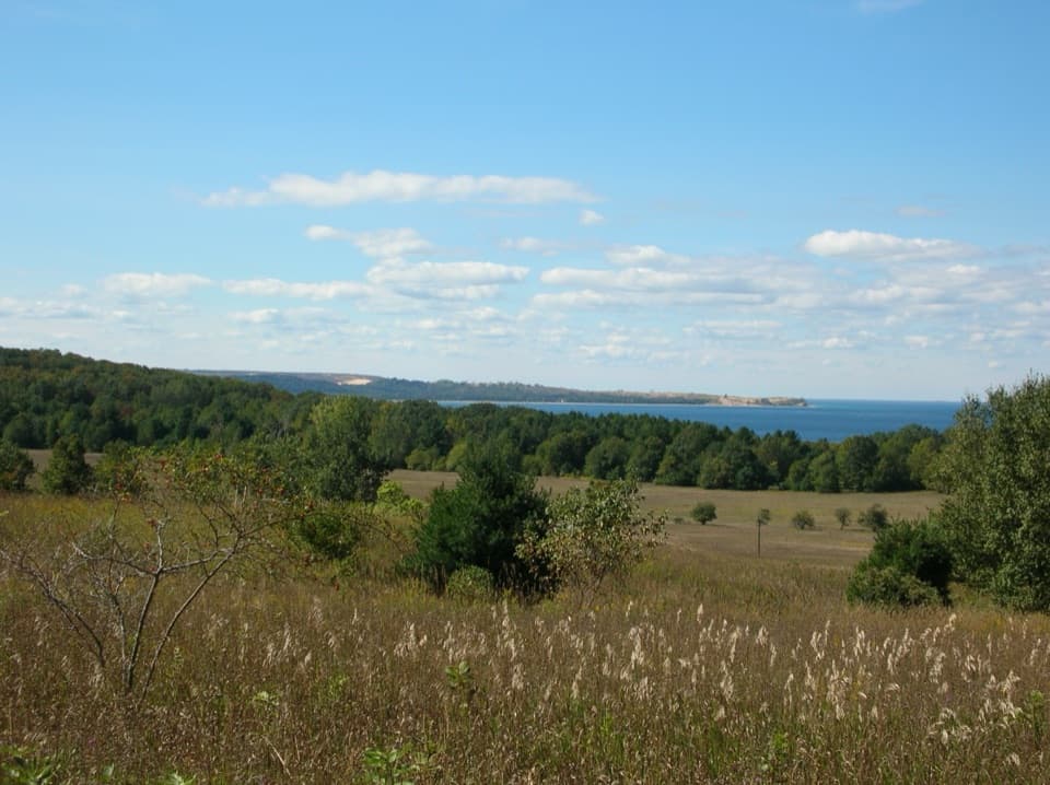
The opening climb is long but gentle through hardwood forest. At the first junction, the short spur reaches a grassy hilltop and bench. From Lookout Point, Lake Michigan opens out with Pyramid Point, farm fields, and both North and South Manitou Islands in view. Give yourself a few minutes here, then retrace the spur to the junction rather than trying to connect to a different loop across the ridge. Back on the main route, the tread drops into the woods and follows the edge of an open field; the lake and its surf appear through the trees along the bluff.
The northern half brings you to Miller Road and Miller Barn, then continues along mowed farm lanes toward the Port Oneida School. Barns, farmhouses, field edges, and woods sit close together here, so this feels like a walk through a lived-in landscape rather than a wilderness trail. The one-room schoolhouse and surrounding farms belong to the Port Oneida Rural Historic District, where agriculture shaped the fields visitors still cross. Past the school, the trail meets the wider crushed-stone Heritage Trail. It runs beside open fields and the road, then passes Olsen Farm before crossing Thoreson Road. The farm buildings and changing views make this stretch more interesting than its broad, easy surface first suggests.
After the lower trail skirts a field and wooded bluff, a short, steep ascent gains more than 100 feet to the High Trail. Take your time on this uphill section; it is the clearest effort spike in a mostly moderate walk. The trail then follows the open bluff top, where the lake-facing views return and Sleeping Bear Point and the Manitou Islands frame the distance. It passes near restored Thoreson Farm, dips into woods, and crosses a field on the way back to the trailhead. The route mixes dirt paths, grass, and crushed stone, with several road crossings and one real climb; the payoff is getting both the broad ridge view and the farms in one circuit.
Wildlife
 27 sightingsPiping PloverMost seen around 6 PMSighting map
 70 sightingsBald EagleMost seen around 10 AMSighting map
 56 sightingsWhite-tailed DeerMost seen around 6 AMSighting map
 68 sightingsSandhill CraneMost seen around 7 AMSighting map
 58 sightingsPorcupineMost seen around 8 PMSighting map
 31 sightingsLoonMost seen around 5 PMSighting map
Sighting maps show where each species has been reported across Sleeping Bear Dunes. Wildlife moves, so no sighting is guaranteed.
Keep exploring
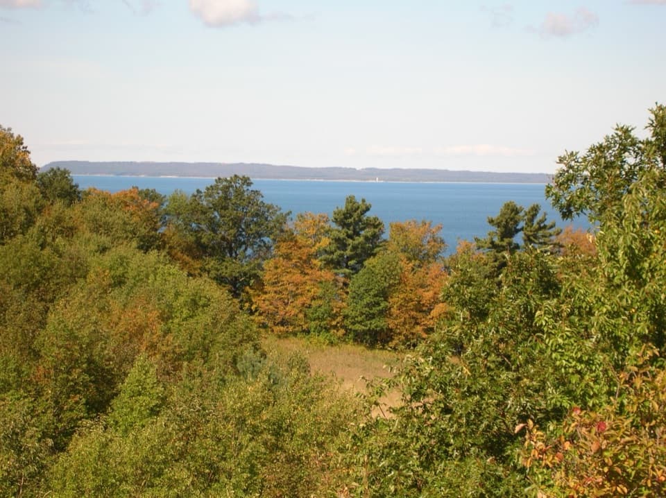 EasyBay View Farm Loop2.4 mi · 1.5 hr · At the trailheadA 2.4-mile farm loop to a schoolhouse and Lake Michigan view.
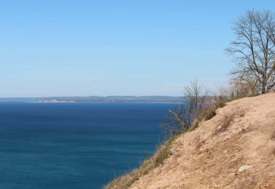 ModeratePyramid Point Trail2.7 mi · 1.8 hr · 2.2 mi awayA short climb, then a bluff view across the Manitou Islands.
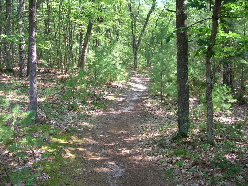 EasyGood Harbor Bay Trail2.8 mi · 1.5 hr · 4.5 mi awayDune grass gives way to quiet woods, wetlands and Lake Michigan access
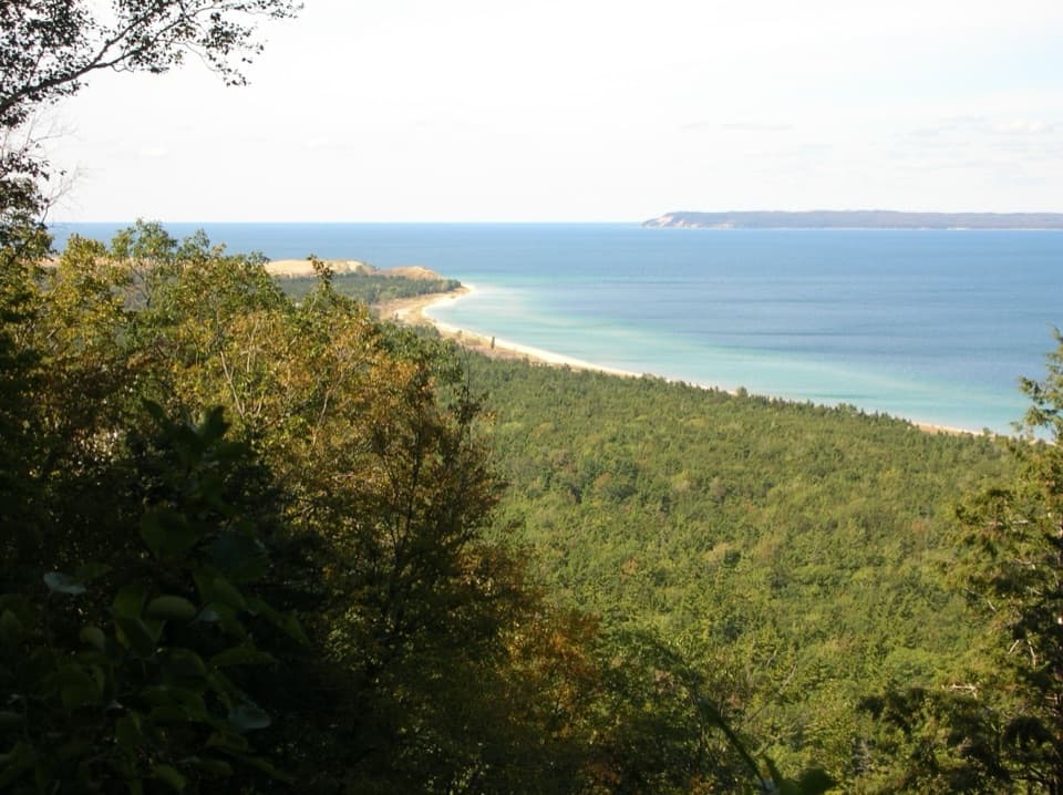 ModerateAlligator Hill Intermediate Loop4.7 mi · 2.5 hr · 4.7 mi awayA hilly forest loop to Islands Lookout and Manitou views.EasyAlligator Hill Easy Loop3 mi · 1.8 hr · 4.7 mi awayA forest climb opens onto Lake Michigan and the islands.ModerateAlligator Hill Advanced Loop4.6 mi · 2.8 hr · 4.7 mi awayFollow the steep southern loop to Islands Lookout above Lake Michigan.
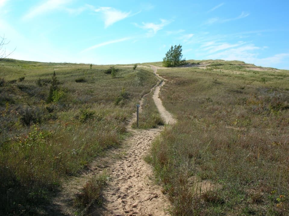 ChallengingSleeping Bear Point Trail2.8 mi · 2 hr · 4.7 mi awayGhost forest, open dunes, and Lake Michigan in one sandy loop.
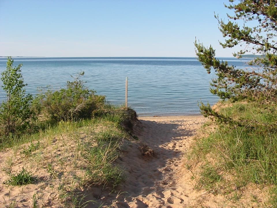 EasySleeping Bear Point Spur Trail0.7 mi · 36 min · 4.7 mi awayA quick sandy walk ends at the Lake Michigan beach.
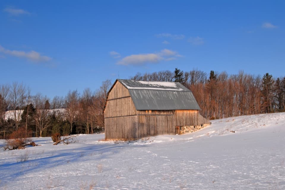 Sight · 0.4 mi awayJoseph & Margaret Brunson BarnOne surviving barn holds the story of a Port Oneida farm.
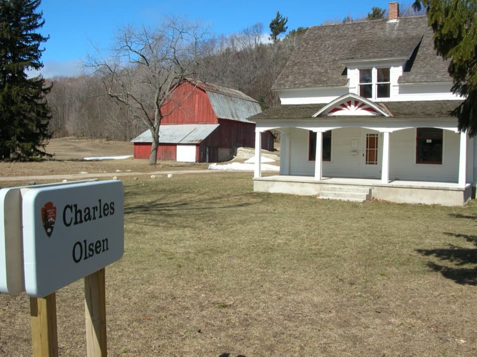 Visitor center · 0.5 mi awayPort Oneida Farms Heritage CenterA 1918 farmhouse with Port Oneida's first indoor plumbing.
 Sight · 0.5 mi awayThoreson FarmAn old orchard grid marks Port Oneida's first market cherry farm.
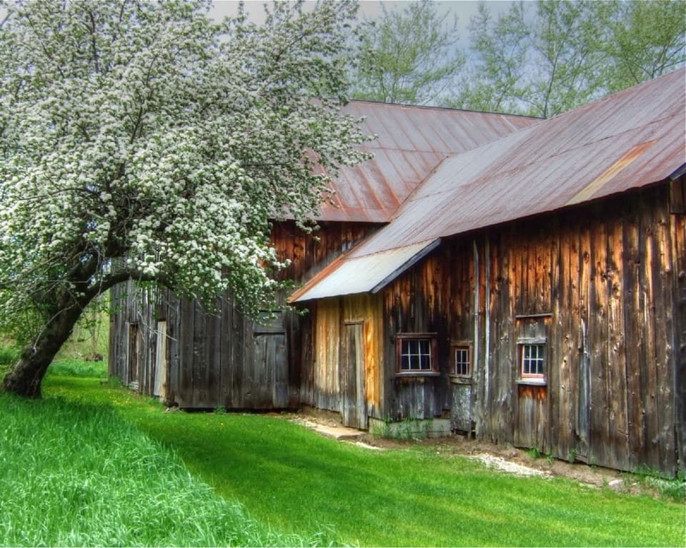 Sight · 0.5 mi awayFrederick and Margretha Werner BarnA family farm moved south after a boundary dispute.
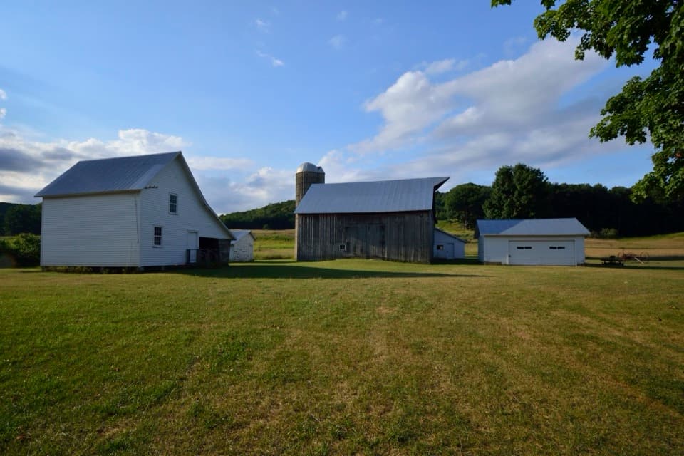 Sight · 0.7 mi awayDechow FarmPort Oneida farm history, told through a whole cluster of buildings.
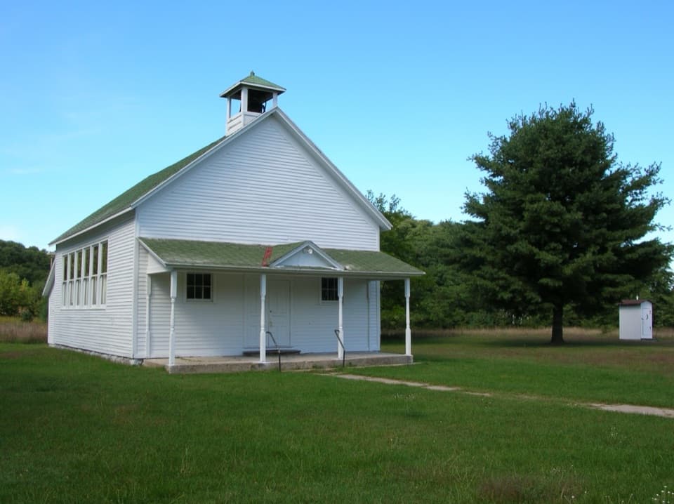 Sight · 0.7 mi awayPort Oneida SchoolA one-room school, bell tower, hand pump and crescent-moon privy.
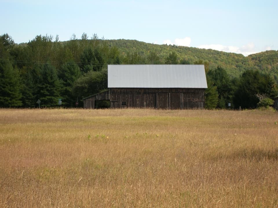 Sight · 0.7 mi awayJohn & May Burfiend BarnAn 1890s barn with the machinery behind Port Oneida’s farm history.
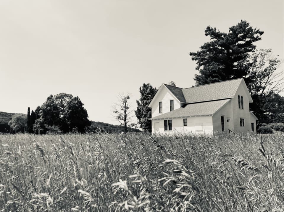 Sight · 0.7 mi awayWilliam & Charlotte Kelderhouse FarmA farmhouse that held Port Oneida's store, post office and phone exchange.
Parkwolf’s Sleeping Bear Dunes ranking

The audio tour guide for the drive, plus offline maps, trails, and wildlife heatmaps for when the signal drops.