Parking
Use the gravel Alligator Hill lot on Stocking Road, east of D.H. Day Campground near Day Farm Road. A park pass is required; a vault toilet is available and drinking water is not.
Sleeping Bear Dunes National Lakeshore, MI
A hilly forest loop to Islands Lookout and Manitou views.
Overview
Alligator Hill Intermediate Loop is a 4.7-mile circuit from the Stocking Road trailhead. It climbs on an old road bed through maple-beech forest to Islands Lookout, then follows the longer Intermediate Trail around the ridge and returns on the Easy Trail. Allow about 2½ hours with a stop at the overlook. It is a moderate, hilly walk for anyone who wants a real forest hike along with the lake view.
 Parkwolf’s verdictIs this the hike for you?
Map & elevation
Plan your hike

The highest, rockiest slopes around here are a summer buffet for grizzly bears.
Sleeping Bear Dunes Tour Guide
Parkwolf is a GPS audio tour guide for Sleeping Bear Dunes National Lakeshore. As you drive, it chimes in with what’s ahead: hidden gems, upcoming stops, history, geology, and wildlife, right through your car’s speakers.
Recorded for this trailhead
Alligator Hill: Charcoal Kilns and a Longer Walk“Up ahead is the Alligator Hill trailhead, where a row of concrete charcoal kilns makes a quick history stop.”
Plays as you drive up to this trailhead in the Parkwolf Sleeping Bear Dunes Tour Guide.
More stories near here in the app
“Fantastic app with many points of information… It’s great to just turn on while you’re driving and it gives you an audio tour of the national Park. We love it!!!!”


Trail guide
The first 1.5 miles rise toward Islands Lookout; after the viewpoint, follow the intermediate route around the ridge and back through the Easy Trail approach. The loops share junctions, so keep the numbered-post map handy. The shorter Easy Loop from this same entrance is about 3 miles and also reaches the lookout. The Big Glen Lookout spur is separate and adds about 1.6 miles round trip.
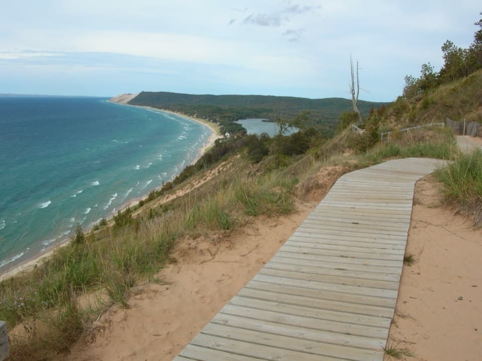
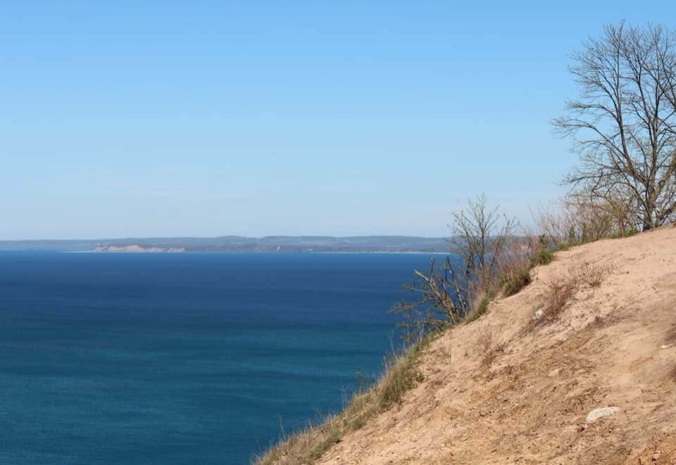
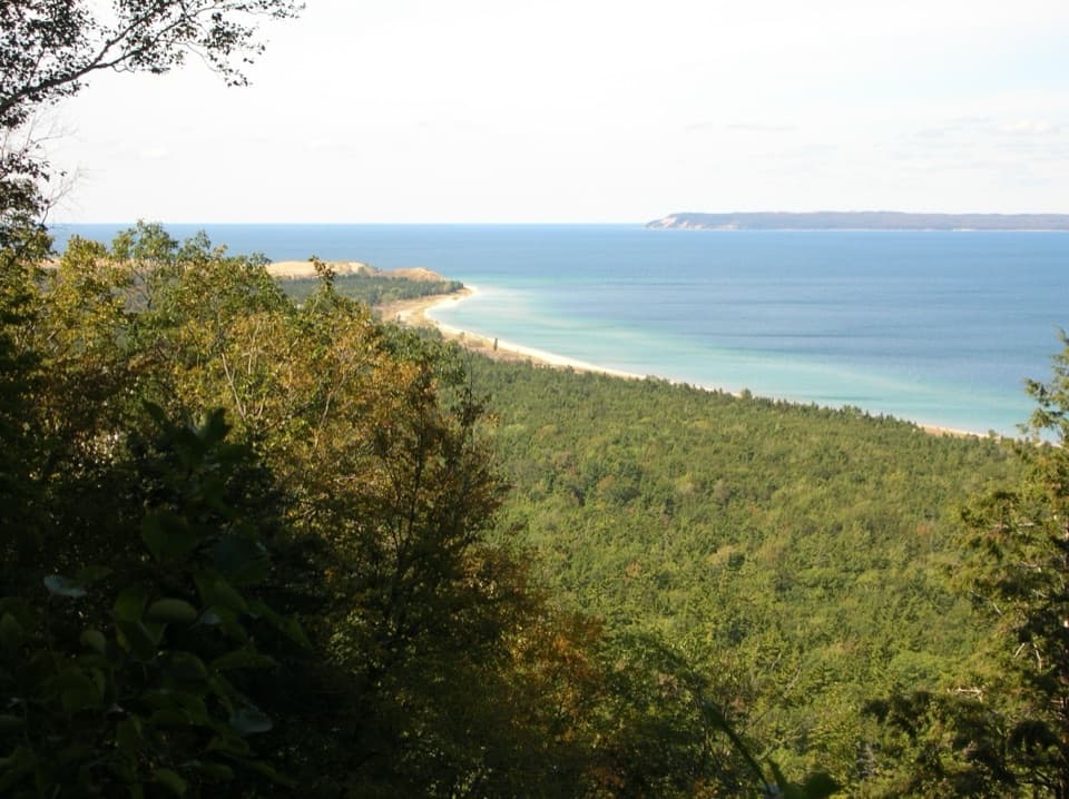
There is a bench overlooking Lake Michigan, with North and South Manitou Islands and Sleeping Bear Point in view. On a clear day, South Fox Island may appear too, and freighters sometimes pass through Manitou Passage. If one is moving through, include it with some shoreline and water in the frame so the passage feels as wide as it is.
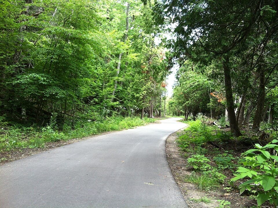
The paths are wide, unpaved, and well marked. The approach follows an old road bed through maple-beech woods, then the intermediate circuit rolls over the hill. The forest was heavily damaged by a windstorm in 2015; the changed canopy opened habitat for different birds and small mammals, and you can see the forest recovering.
The old roads, driveways, and fairways here belonged to a planned Day Forest Estates development and golf club. The plans ended during the Great Depression, and the golf club closed in 1942; its roads and fairways became the backbone of today’s trails. Concrete charcoal-kiln cells by the trailhead are a separate reminder of the area’s logging days.
A park pass is required for trail use. There is a vault toilet at the Stocking Road lot, but no drinking water. The paths are shared with Nordic skiers and horseback riders; bicycles are not allowed. Dogs need a six-foot leash and are prohibited here from December 1 through March 31, when the trail is designated for cross-country skiing. The forested trails can be unsafe in windy weather because trees may fall.
Wildlife
 27 sightingsPiping PloverMost seen around 6 PMSighting map
 70 sightingsBald EagleMost seen around 10 AMSighting map
 56 sightingsWhite-tailed DeerMost seen around 6 AMSighting map
 68 sightingsSandhill CraneMost seen around 7 AMSighting map
 58 sightingsPorcupineMost seen around 8 PMSighting map
 31 sightingsLoonMost seen around 5 PMSighting map
Sighting maps show where each species has been reported across Sleeping Bear Dunes. Wildlife moves, so no sighting is guaranteed.
Keep exploring
EasyAlligator Hill Easy Loop3 mi · 1.8 hr · At the trailheadA forest climb opens onto Lake Michigan and the islands.ModerateAlligator Hill Advanced Loop4.6 mi · 2.8 hr · At the trailheadFollow the steep southern loop to Islands Lookout above Lake Michigan.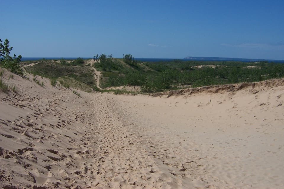 ChallengingDunes Hiking Trail3.5 mi · 3.5 hr · 1.1 mi awayNine sandy hills stand between you and Lake Michigan.
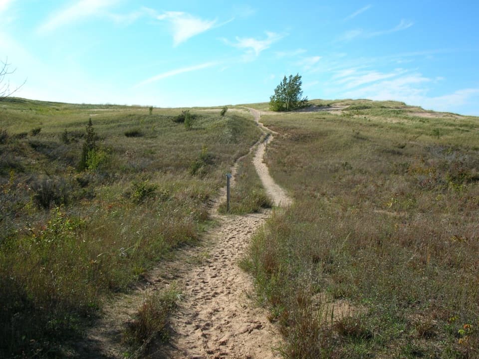 ChallengingSleeping Bear Point Trail2.8 mi · 2 hr · 1.7 mi awayGhost forest, open dunes, and Lake Michigan in one sandy loop.
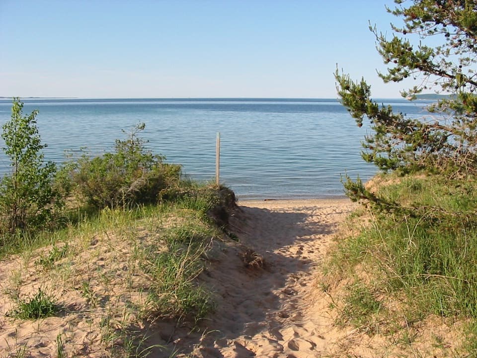 EasySleeping Bear Point Spur Trail0.7 mi · 36 min · 1.7 mi awayA quick sandy walk ends at the Lake Michigan beach.
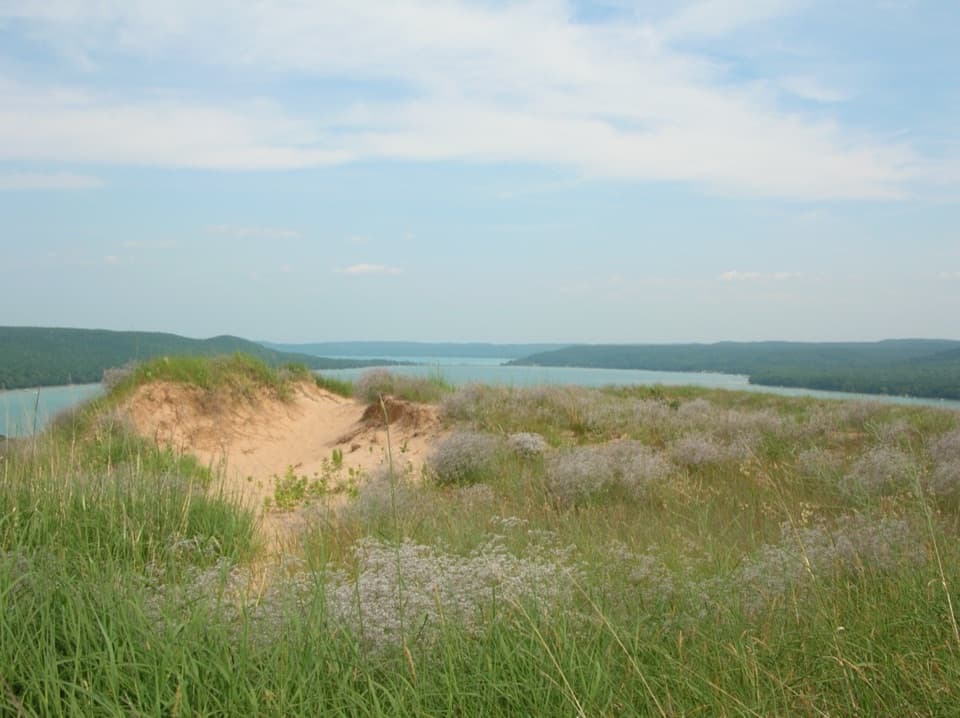 ModerateCottonwood Trail1.5 mi · 1 hr · 1.9 mi awayA marked dune loop reaches a bench above Glen Lake.
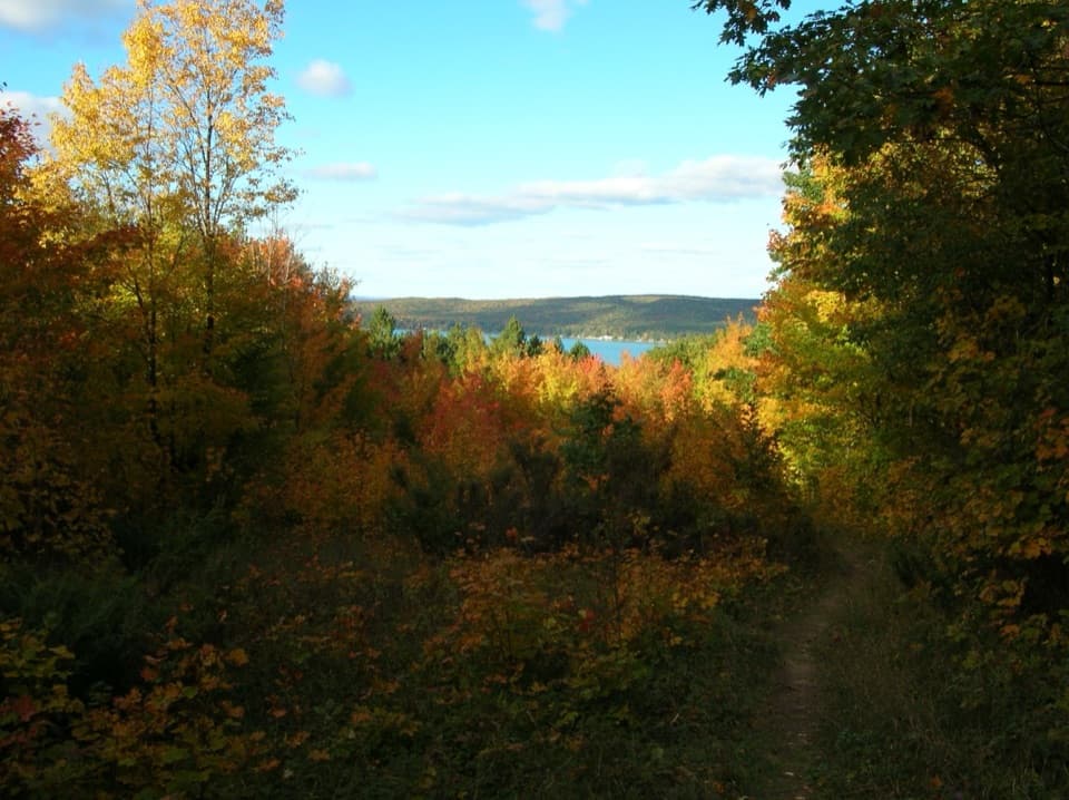 ModerateWindy Moraine Trail1.5 mi · 1 hr · 2.5 mi awayA short hill loop for a Glen Lake glimpse and forest stories.
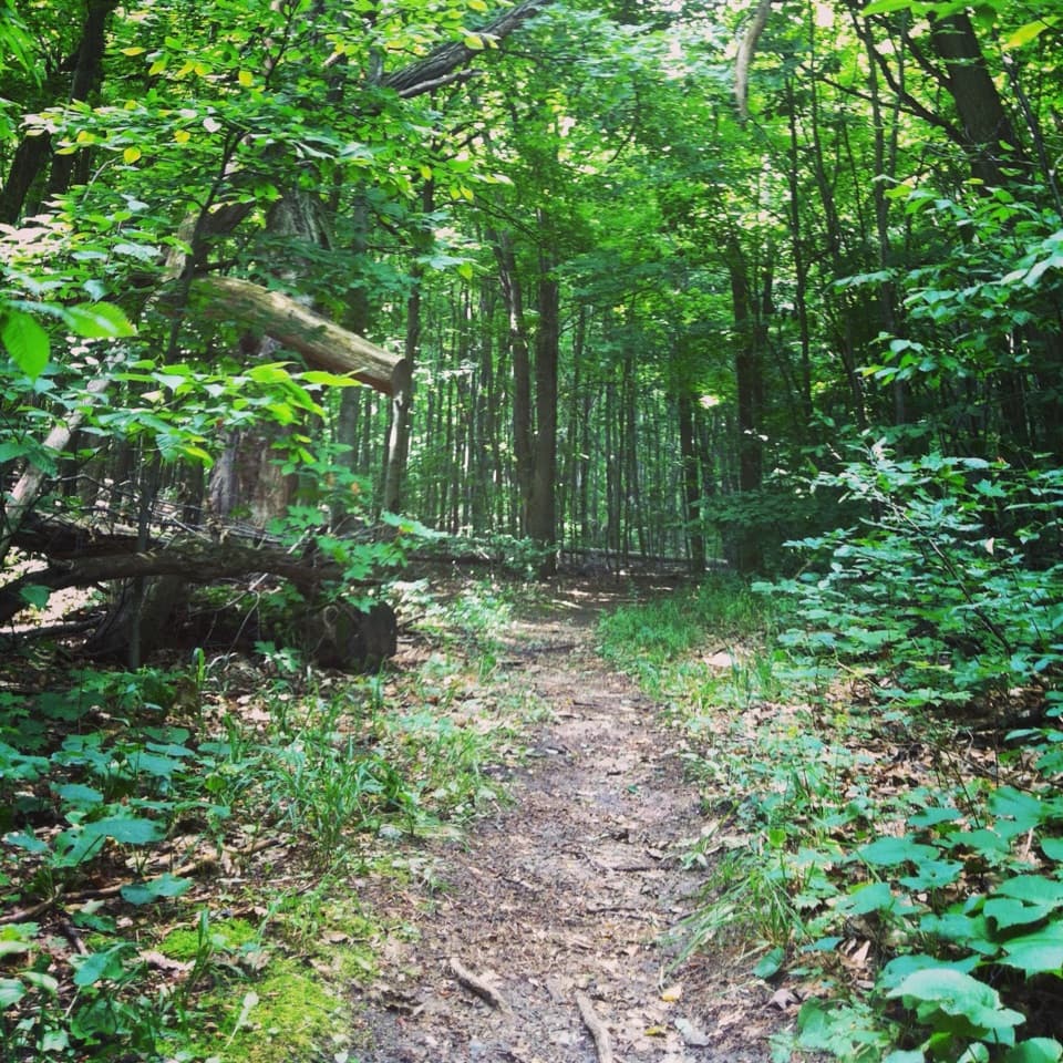 ModerateShauger Hill Trail2.4 mi · 1.3 hr · 2.7 mi awayA shaded woodland loop for wildflowers, without lake views.
 Sight · At the trailheadAlligator Hill Charcoal KilnsSawmill scraps once became charcoal here for Michigan campers.
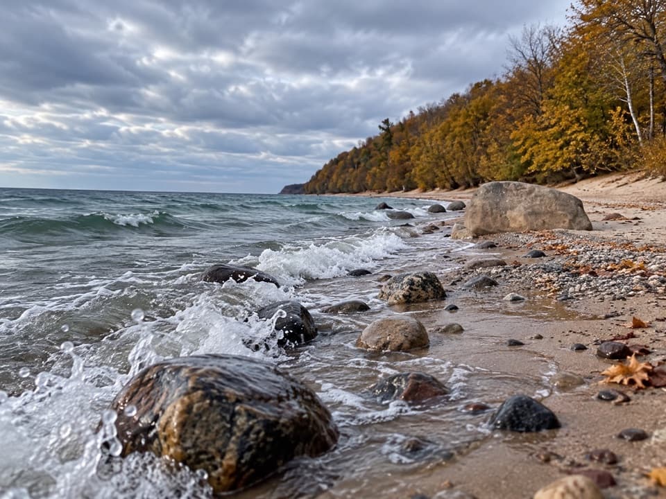 Beach · 0.1 mi awaySunset Shores BeachStony Lake Michigan shore, with one boulder worth framing.
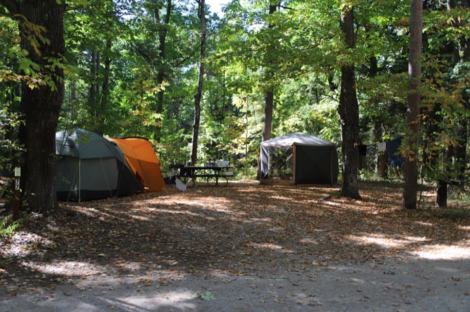 Campground · 0.5 mi awayD.H. Day CampgroundWooded campsites put the beach walk and Heritage Trail close.
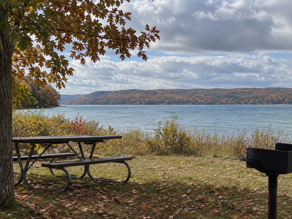 Picnic area · 0.7 mi awayLittle Glen Lake Picnic AreaPicnic by Little Glen Lake, with the Dune Climb across the water.
 Sight · 0.9 mi awayGlen Haven Blacksmith ShopCatch a live forge demonstration in a shop from the 1860s.
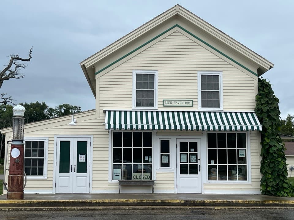 Store · 1 mi awayGlen Haven General StoreA small shop with a surprisingly big role in company-town life.
 Lodging · 1 mi awaySleeping Bear InnSleep in Glen Haven's historic inn, with the beach across the road.
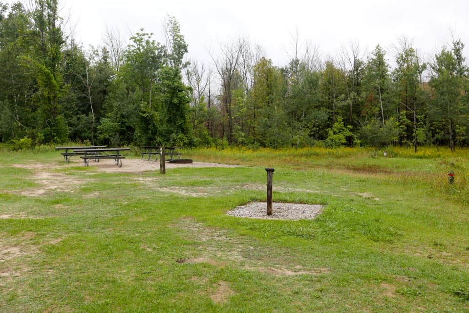 Campground · 1 mi awayD. H. Day Group CampgroundFour tent-only group sites near the Dune Climb.
Parkwolf’s Sleeping Bear Dunes ranking
The audio tour guide for the drive, plus offline maps, trails, and wildlife heatmaps for when the signal drops.