Parking
Use the Sleeping Bear Point Trailhead parking area at the end of Sleeping Bear Dunes Road, just beyond the Maritime Museum. A vault toilet is at the trailhead; get drinking water at the nearby museum or in Glen Haven before setting out.
Sleeping Bear Dunes National Lakeshore, MI
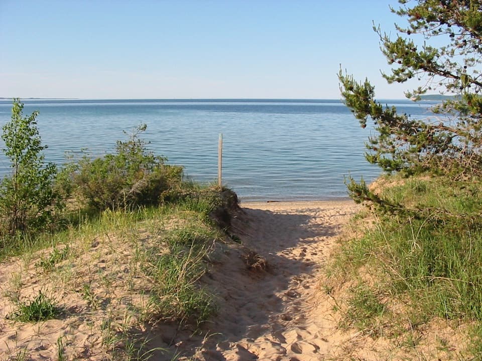
A quick sandy walk ends at the Lake Michigan beach.
Overview
Map & elevation
Plan your hike

The highest, rockiest slopes around here are a summer buffet for grizzly bears.
Sleeping Bear Dunes Tour Guide
Parkwolf is a GPS audio tour guide for Sleeping Bear Dunes National Lakeshore. As you drive, it chimes in with what’s ahead: hidden gems, upcoming stops, history, geology, and wildlife, right through your car’s speakers.
Recorded for this trailhead
Sleeping Bear Point: Dunes Loop or Beach Walk“You're approaching the access to Sleeping Bear Point's trails, with the trailhead at the road's end beyond the Maritime Museum.”
Plays as you drive up to this trailhead in the Parkwolf Sleeping Bear Dunes Tour Guide.
More stories near here in the app
“Fantastic app with many points of information… It’s great to just turn on while you’re driving and it gives you an audio tour of the national Park. We love it!!!!”


Trail guide
Sleeping Bear Point Spur Trail is the direct sandy out-and-back from Sleeping Bear Point Trailhead to the Lake Michigan beach. Plan on about 0.7 mile round trip and 30–45 minutes, including a short stop at the water. It is a low-commitment way to reach the shore; the 2.8-mile dunes loop and its longer beach-return option are separate walks.
The footpath crosses dune grass and soft sand, then drops onto the beach. Loose footing and small rises make the short distance feel slower than it looks on a map. At the water, take a minute to look back at the sandy approach framed by beach grass; it gives the view more of a sense of place than a lake-only photo. Return to the trailhead on the same path.
Wildlife
 27 sightingsPiping PloverMost seen around 6 PMSighting map
 70 sightingsBald EagleMost seen around 10 AMSighting map
 56 sightingsWhite-tailed DeerMost seen around 6 AMSighting map
 68 sightingsSandhill CraneMost seen around 7 AMSighting map
 58 sightingsPorcupineMost seen around 8 PMSighting map
 31 sightingsLoonMost seen around 5 PMSighting map
Sighting maps show where each species has been reported across Sleeping Bear Dunes. Wildlife moves, so no sighting is guaranteed.
Keep exploring
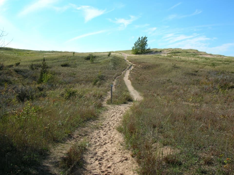 ChallengingSleeping Bear Point Trail2.8 mi · 2 hr · At the trailheadGhost forest, open dunes, and Lake Michigan in one sandy loop.
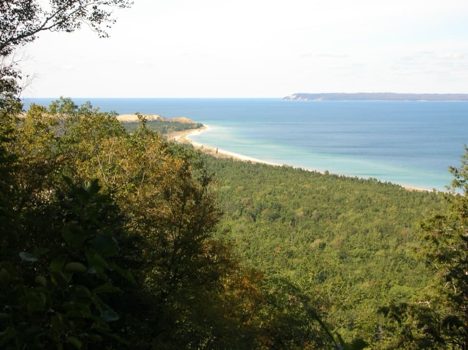 ModerateAlligator Hill Advanced Loop4.6 mi · 2.8 hr · 1.6 mi awayFollow the steep southern loop to Islands Lookout above Lake Michigan.EasyAlligator Hill Easy Loop3 mi · 1.8 hr · 1.6 mi awayA forest climb opens onto Lake Michigan and the islands.ModerateAlligator Hill Intermediate Loop4.7 mi · 2.5 hr · 1.7 mi awayA hilly forest loop to Islands Lookout and Manitou views.
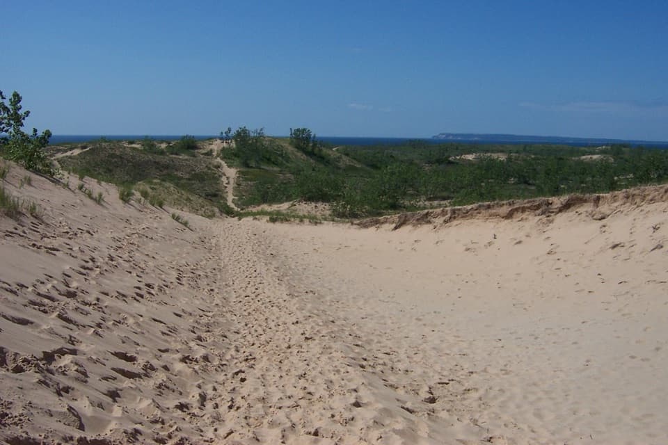 ChallengingDunes Hiking Trail3.5 mi · 3.5 hr · 1.9 mi awayNine sandy hills stand between you and Lake Michigan.
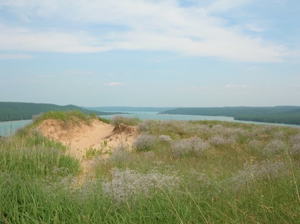 ModerateCottonwood Trail1.5 mi · 1 hr · 2.6 mi awayA marked dune loop reaches a bench above Glen Lake.
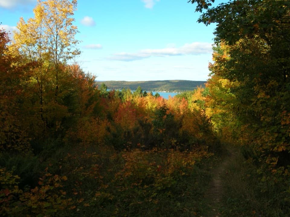 ModerateWindy Moraine Trail1.5 mi · 1 hr · 3.8 mi awayA short hill loop for a Glen Lake glimpse and forest stories.
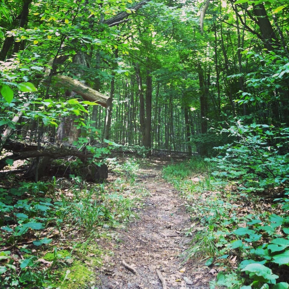 ModerateShauger Hill Trail2.4 mi · 1.3 hr · 3.9 mi awayA shaded woodland loop for wildflowers, without lake views.
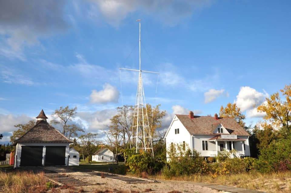 Sight · 0.3 mi awaySleeping Bear Point Maritime MuseumA 1901 lifesaving station, its rescue boats, and the Manitou Passage.
 Lodging · 0.7 mi awaySleeping Bear InnSleep in Glen Haven's historic inn, with the beach across the road.
 Sight · 0.7 mi awayGlen Haven Cannery and Boat MuseumFruit cannery, Great Lakes boats, and a cordwood town’s story.
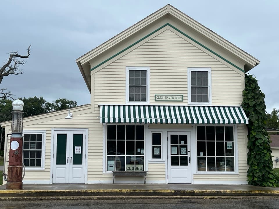 Store · 0.8 mi awayGlen Haven General StoreA small shop with a surprisingly big role in company-town life.
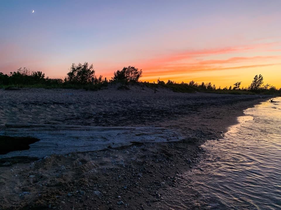 Beach · 0.8 mi awayGlen Haven BeachA pebbly swim stop beside an old shipping port.
 Sight · 0.8 mi awayGlen Haven Blacksmith ShopCatch a live forge demonstration in a shop from the 1860s.
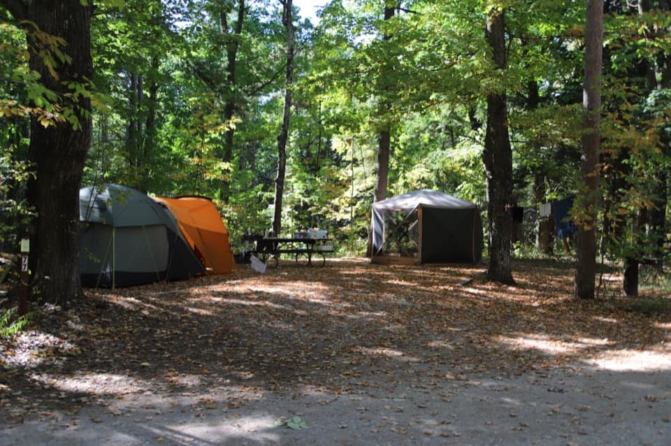 Campground · 1.3 mi awayD.H. Day CampgroundWooded campsites put the beach walk and Heritage Trail close.
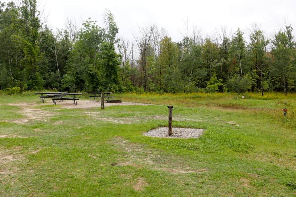 Campground · 1.3 mi awayD. H. Day Group CampgroundFour tent-only group sites near the Dune Climb.
Parkwolf’s Sleeping Bear Dunes ranking

The audio tour guide for the drive, plus offline maps, trails, and wildlife heatmaps for when the signal drops.