Parking
Dune Climb Parking Lot, 6748 S Dune Hwy (M-109), about five miles north of Empire. The picnic area, restrooms, drinking fountains and Visitor Center bookstore are at the base.
#3 of 34 trails in Sleeping Bear Dunes
Sleeping Bear Dunes National Lakeshore, MI
Nine sandy hills stand between you and Lake Michigan.
Overview
The Dunes Hiking Trail is a 3.5-mile out-and-back from the Dune Climb to Lake Michigan and back, crossing a rolling line of nine dune hills. Allow three to four hours. It’s for hikers who want to earn a quiet stretch of shoreline; if that sounds like too much, the Dune Climb itself is a good shorter outing. The first big dune is only the beginning, and the route’s repeated climbs make the mileage feel longer than it looks.
 Parkwolf’s verdictIs the full hike for you?
Map & elevation
Plan your hike

The highest, rockiest slopes around here are a summer buffet for grizzly bears.
Sleeping Bear Dunes Tour Guide
Parkwolf is a GPS audio tour guide for Sleeping Bear Dunes National Lakeshore. As you drive, it chimes in with what’s ahead: hidden gems, upcoming stops, history, geology, and wildlife, right through your car’s speakers.
Recorded for this trailhead
Dune Climb: Choose Your Turnaround“You're coming up on the Dune Climb, where you can get onto the open sand without committing to a long hike.”
Plays as you drive up to this trailhead in the Parkwolf Sleeping Bear Dunes Tour Guide.
More stories near here in the app
“Fantastic app with many points of information… It’s great to just turn on while you’re driving and it gives you an audio tour of the national Park. We love it!!!!”


Trail guide
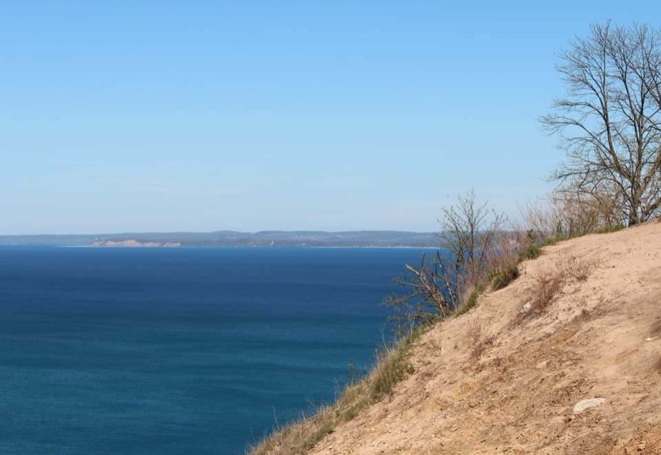
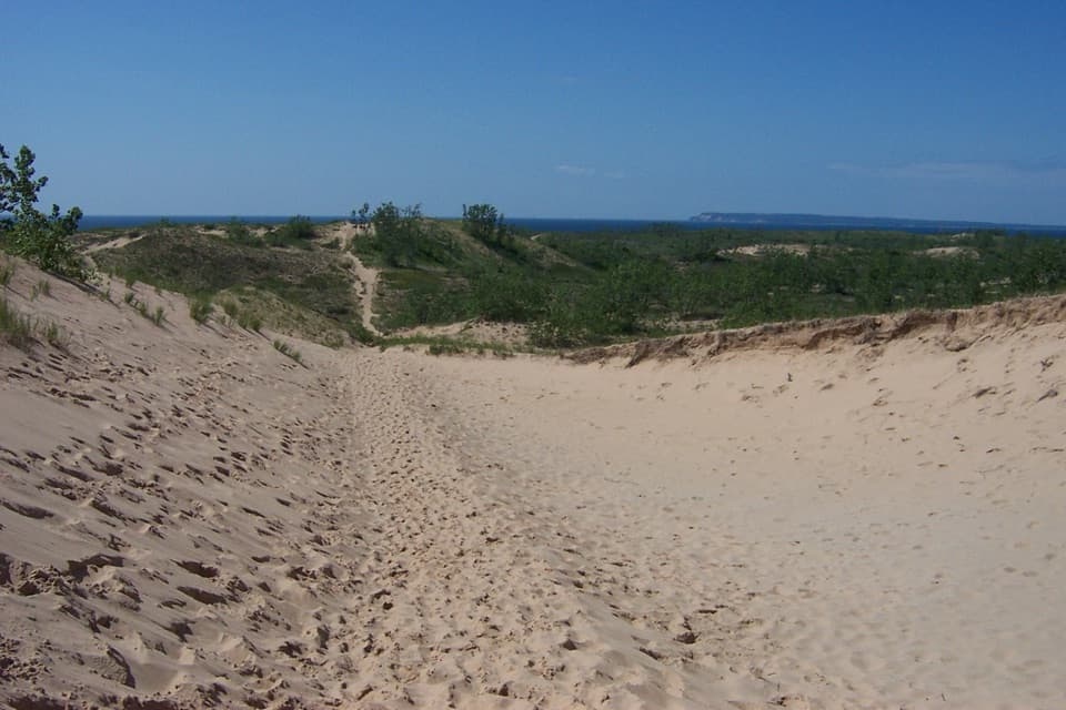
The route starts by climbing the large dune beside the parking area. Lake Michigan isn’t visible from that first crest. You get an early view of Glen Lake, then the first Lake Michigan view comes about half a mile into the hike, with more than a mile of dune walking still between you and the shore. Agree on a turnaround plan before the group spreads out. Across the open sand, the next rise can look a lot like the last one, so stay with the blue-topped trail markers and carry a map.
This is soft sand nearly the whole way, up and down steep slopes, with little shade and no easy shortcut once you’ve left the trailhead. Nine hills break the walk into repeated climbs and descents; the lake is a welcome rest stop, but you have to cross those dunes again to get back. On clear warm days the sand can become uncomfortably hot, and there’s nowhere along the route to get out of the sun. NPS notes that some slopes can collapse, especially in winter and early spring. Stay on the marked route: the dunes are fragile, and walking the narrow crests or cutting across open sand damages vegetation and can lead to disorienting detours.
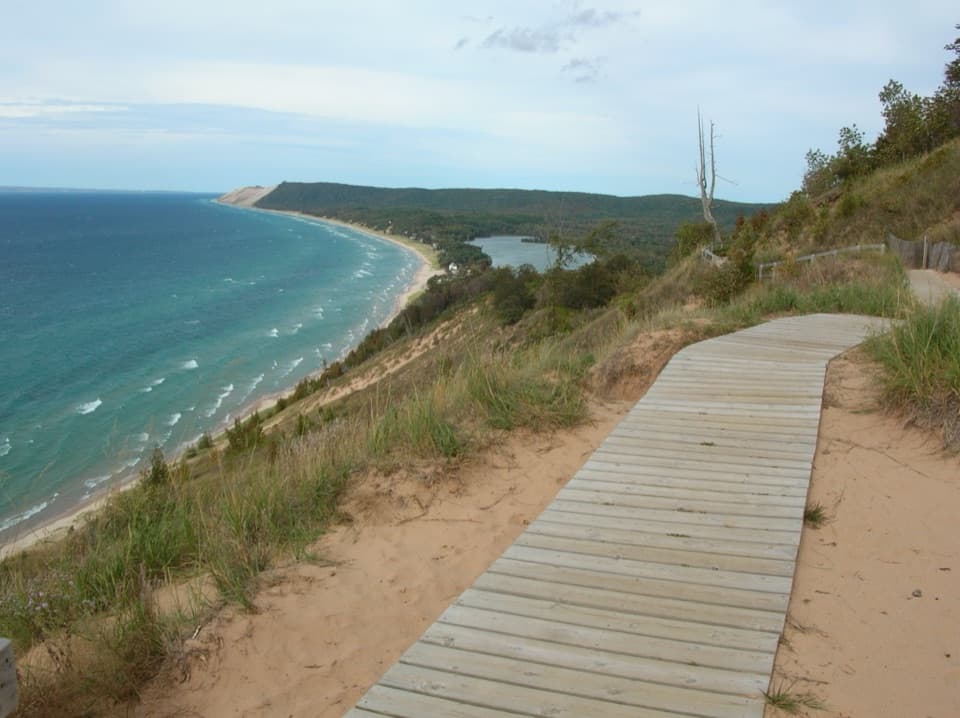
The trail ends at the Lake Michigan beach, then returns over the same route. Along the way, open crests look back across Glen Lake and out to Lake Michigan. Don’t expect the sheer drop of the park’s famous overlook; this walk reaches the shoreline at the foot of the dunes. For a photo that shows the work of the hike, frame the sandy trail curling over a rise with the lake on the horizon.
These are perched dunes: windblown sand sitting over older glacial sand and gravel. Wind keeps reshaping the upper layer and can leave coarse stones behind. Beachgrass, sand cherry and cottonwood are among the first plants to take hold, helping stabilize the sand. That sparse cover is part of the landscape, and a good reason to keep to the marked line.
Use the Dune Climb Parking Lot at 6748 S Dune Hwy (M-109), about five miles north of Empire. The picnic area, restrooms, drinking fountains and Visitor Center bookstore are at the base; there’s no water stop noted farther along the dunes, so fill up before setting out. A park pass is required for trail use, and pets are prohibited at Dune Climb year-round. Lake Michigan is open water, so check local safety guidance before swimming; rip currents are a real hazard here.
Wildlife
 27 sightingsPiping PloverMost seen around 6 PMSighting map
 70 sightingsBald EagleMost seen around 10 AMSighting map
 56 sightingsWhite-tailed DeerMost seen around 6 AMSighting map
 68 sightingsSandhill CraneMost seen around 7 AMSighting map
 58 sightingsPorcupineMost seen around 8 PMSighting map
 31 sightingsLoonMost seen around 5 PMSighting map
Sighting maps show where each species has been reported across Sleeping Bear Dunes. Wildlife moves, so no sighting is guaranteed.
Keep exploring
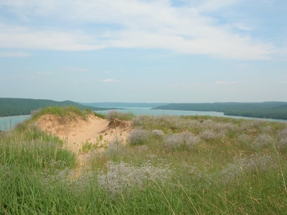 ModerateCottonwood Trail1.5 mi · 1 hr · 0.8 mi awayA marked dune loop reaches a bench above Glen Lake.
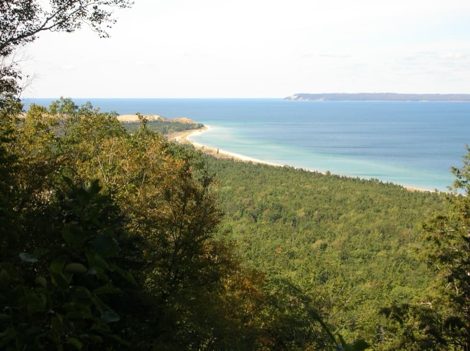 ModerateAlligator Hill Advanced Loop4.6 mi · 2.8 hr · 1.1 mi awayFollow the steep southern loop to Islands Lookout above Lake Michigan.EasyAlligator Hill Easy Loop3 mi · 1.8 hr · 1.1 mi awayA forest climb opens onto Lake Michigan and the islands.ModerateAlligator Hill Intermediate Loop4.7 mi · 2.5 hr · 1.1 mi awayA hilly forest loop to Islands Lookout and Manitou views.
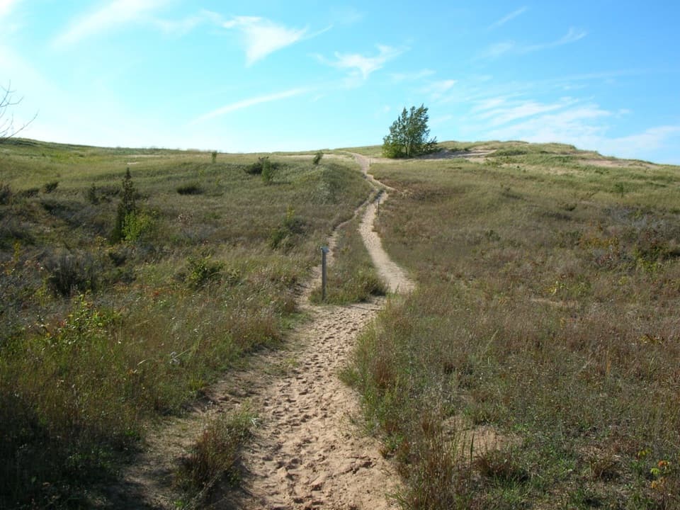 ChallengingSleeping Bear Point Trail2.8 mi · 2 hr · 1.9 mi awayGhost forest, open dunes, and Lake Michigan in one sandy loop.
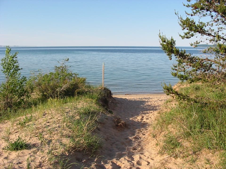 EasySleeping Bear Point Spur Trail0.7 mi · 36 min · 1.9 mi awayA quick sandy walk ends at the Lake Michigan beach.
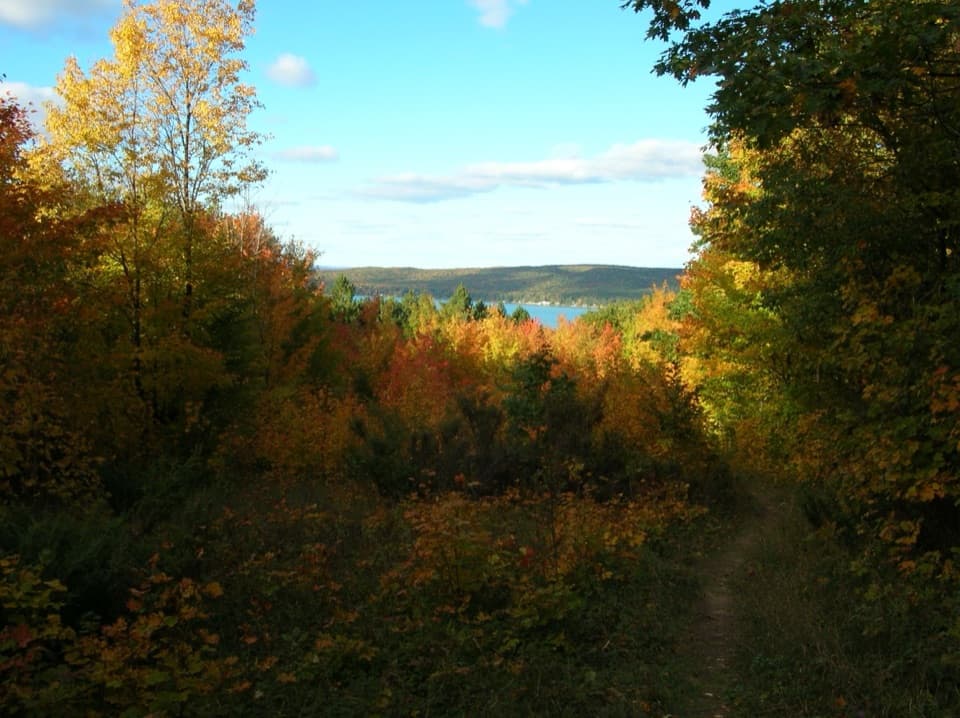 ModerateWindy Moraine Trail1.5 mi · 1 hr · 2 mi awayA short hill loop for a Glen Lake glimpse and forest stories.
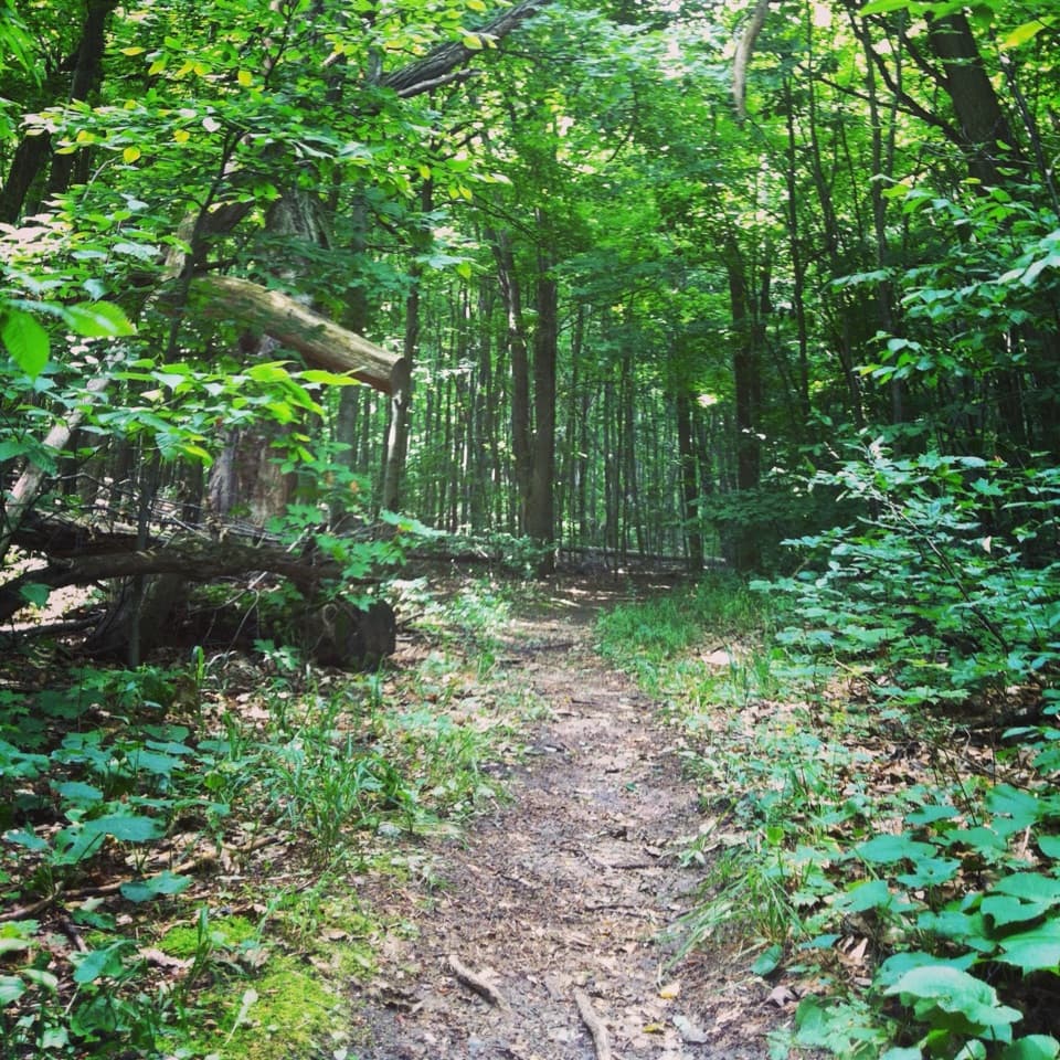 ModerateShauger Hill Trail2.4 mi · 1.3 hr · 2 mi awayA shaded woodland loop for wildflowers, without lake views.
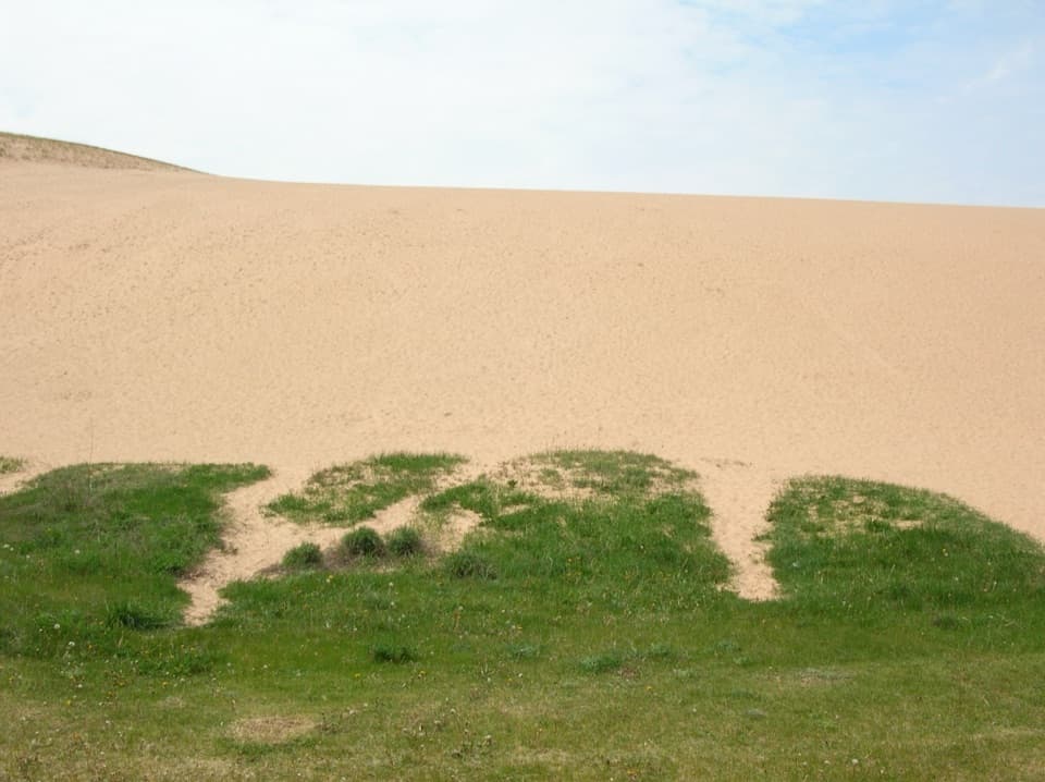 Sight · At the trailheadDune ClimbClimb loose sand for a higher view over Little Glen Lake.
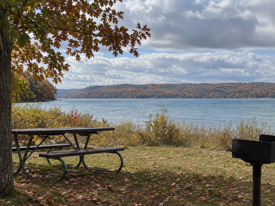 Picnic area · 0.4 mi awayLittle Glen Lake Picnic AreaPicnic by Little Glen Lake, with the Dune Climb across the water.
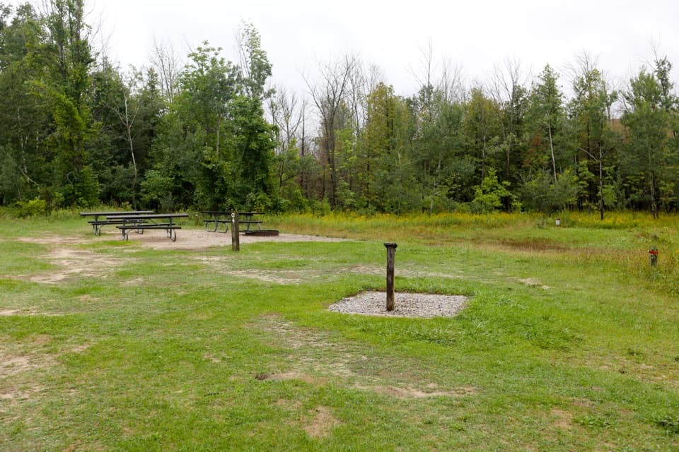 Campground · 0.6 mi awayD. H. Day Group CampgroundFour tent-only group sites near the Dune Climb.
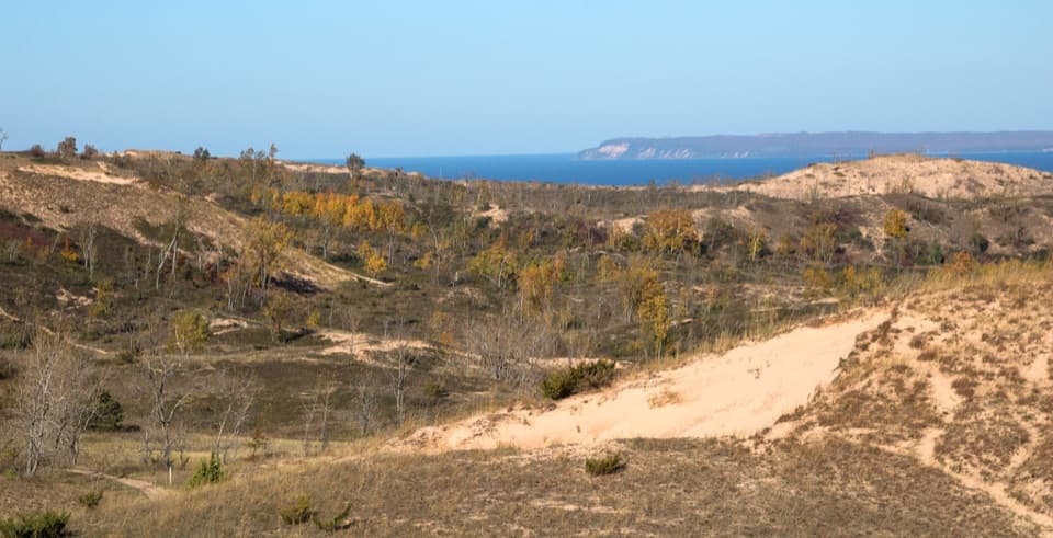 Sight · 0.7 mi awayDune OverlookA ramped deck frames dunes, Glen Lake, Lake Michigan and Manitou Islands
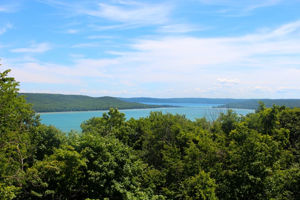 Sight · 1 mi awayGlen Lake OverlookTwo connected lakes and an alligator-shaped hill from one pull-off.
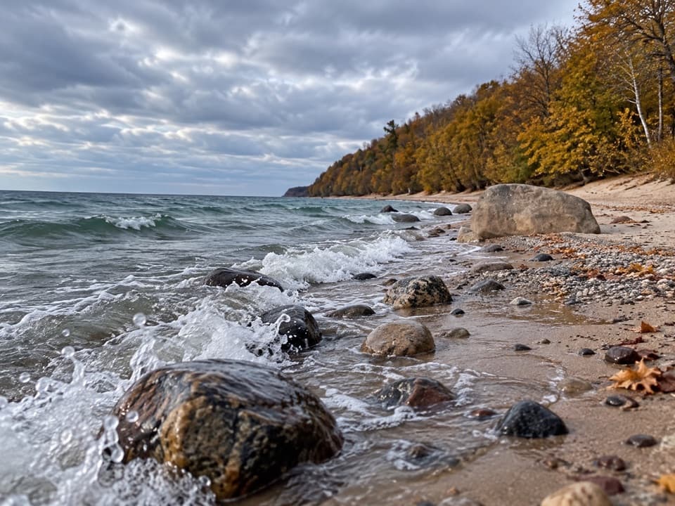 Beach · 1.1 mi awaySunset Shores BeachStony Lake Michigan shore, with one boulder worth framing.
 Sight · 1.2 mi awayAlligator Hill Charcoal KilnsSawmill scraps once became charcoal here for Michigan campers.
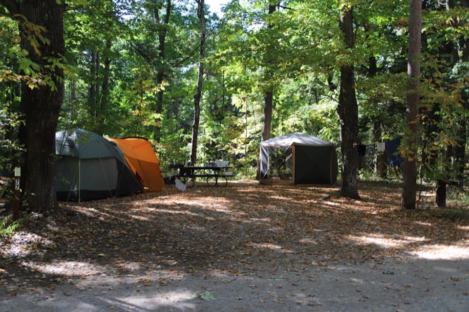 Campground · 1.5 mi awayD.H. Day CampgroundWooded campsites put the beach walk and Heritage Trail close.
Parkwolf’s Sleeping Bear Dunes ranking
The audio tour guide for the drive, plus offline maps, trails, and wildlife heatmaps for when the signal drops.