Parking
Start at the gravel Bar Lake Road lot on the north edge of Empire. It has a vault toilet and bike repair station; no water is listed. Other parking areas serve sections of the trail. Arrange transportation for a full one-way trip.
#6 of 34 trails in Sleeping Bear Dunes
Sleeping Bear Dunes National Lakeshore, MI
A long, varied route through dunes, village streets and farm country.
Overview
Map & elevation
Plan your hike

The highest, rockiest slopes around here are a summer buffet for grizzly bears.
Sleeping Bear Dunes Tour Guide
Parkwolf is a GPS audio tour guide for Sleeping Bear Dunes National Lakeshore. As you drive, it chimes in with what’s ahead: hidden gems, upcoming stops, history, geology, and wildlife, right through your car’s speakers.
See the Sleeping Bear Dunes audio tourRecorded for this trailhead
Sleeping Bear Heritage Trail: Choose a Section“You're nearing the Bar Lake Road access to the Sleeping Bear Heritage Trail, a mostly paved route linking woods, dunes and historic farms.”
Plays as you drive up to this trailhead in the Parkwolf Sleeping Bear Dunes Tour Guide.
More stories near here in the app
“Fantastic app with many points of information… It’s great to just turn on while you’re driving and it gives you an audio tour of the national Park. We love it!!!!”


Trail guide
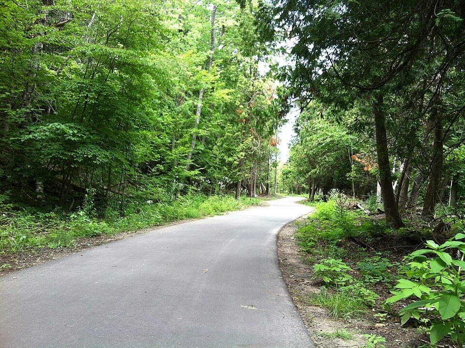
The Sleeping Bear Heritage Trail is a point-to-point multi-use route from the Bar Lake Road access at the north end of Empire to Bohemian Road (CR-669). Plan on about 20 miles one way; one current park trail page says 22, while other park and trail information and the mapped corridor support about 20. It is mostly paved, with compacted stone through the Port Oneida Rural Historic District and roughly three miles on signed Glen Arbor streets. This is a big day on foot, not a loop, so arrange a ride at the far end or choose a shorter section.
The trail has several parking areas, so you don't have to do the full line. Glen Arbor to the Dune Climb is a relatively flat four-mile stretch. The Empire approach has more climbing, while the northern section adds historic farms and gravel. Walking the whole route takes most of a day; allow roughly eight to ten hours with breaks. No end-to-end walking time is published, so treat that as a planning estimate, not a promised pace.
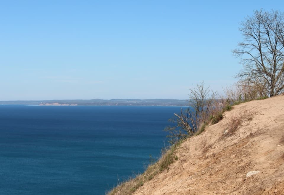
From Bar Lake Road the paved path winds through a wooded valley beside Voice Road. The first 1.5 miles climb steadily, then short pitches reach 10–12% near the M-22 and M-109 junction. The next stretch runs beside M-109 toward Pierce Stocking Drive. Traffic can miss trail users at the scenic-drive entrance. North of there, the steep descent nicknamed “The Bear” drops about 12% to Greenan Road, with a sharp turn at the bottom and a tough climb coming back. Take that section slowly, especially on a bike.
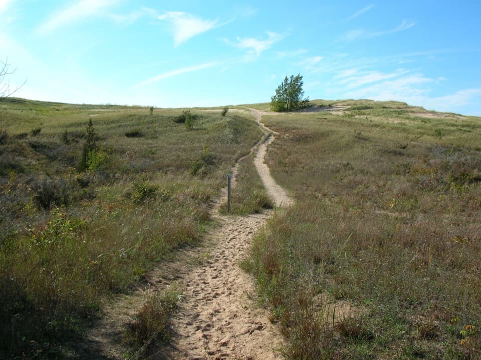
The route passes the Dune Climb and continues through woods toward Glen Haven, opening to low dunes near the historic village. The Glen Arbor–Dune Climb section is among the flatter parts. Between Glen Haven and Glen Arbor, the path passes through D.H. Day Campground and uses a campground road and seasonal road where vehicles may be present. A 2015 windstorm knocked down many trees that once shaded the approach, and low ridges along the wetlands mark old Lake Michigan shorelines.
At Forest Haven Road the separate path ends; the marked route continues for about three miles on village streets to the Crystal River access. This is the least trail-like part of the trip: it crosses a busy summer village with cars, bikes and pedestrians, so follow the markings and use the bike lanes. Near Crystal View Road, visibility is limited around a curve; after crossing M-22 by the Homestead, the trail climbs about 8%.
North of Crystal River, a roughly 500-foot boardwalk crosses wetland before the trail enters forest and then farm country. In the Port Oneida Rural Historic District, the pavement changes to compacted stone to fit the old agricultural landscape; loose gravel or washouts can make the steeper bits less comfortable. The route passes Charles Olsen Farm, Port Oneida School and Kelderhouse cemetery and farm. Farther north it crosses Narada Lake on a boardwalk, where ducks and loons are sometimes visible, then passes North Unity School before ending at Bohemian Road. The extra mile on the dirt road to Bohemian Beach is outside this trail route.
The park describes this as a multi-use route for walkers, cyclists, skiers, strollers and wheelchair users, but the steep grades and the compacted-stone section mean accessibility varies by stretch. Bar Lake Road has a gravel lot, vault toilet and bike repair station; no water is listed there. There are more facilities at other access points, but don't assume every trailhead has water. Pets are allowed on the trail except from December 1 through March 31.
Wildlife
 27 sightingsPiping PloverMost seen around 6 PMSighting map
 70 sightingsBald EagleMost seen around 10 AMSighting map
 56 sightingsWhite-tailed DeerMost seen around 6 AMSighting map
 68 sightingsSandhill CraneMost seen around 7 AMSighting map
 58 sightingsPorcupineMost seen around 8 PMSighting map
 31 sightingsLoonMost seen around 5 PMSighting map
Sighting maps show where each species has been reported across Sleeping Bear Dunes. Wildlife moves, so no sighting is guaranteed.
Keep exploring
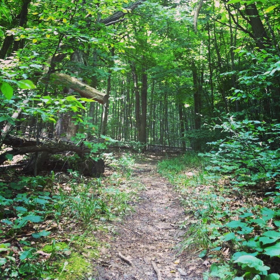 ModerateShauger Hill Trail2.4 mi · 1.3 hr · 1.7 mi awayA shaded woodland loop for wildflowers, without lake views.
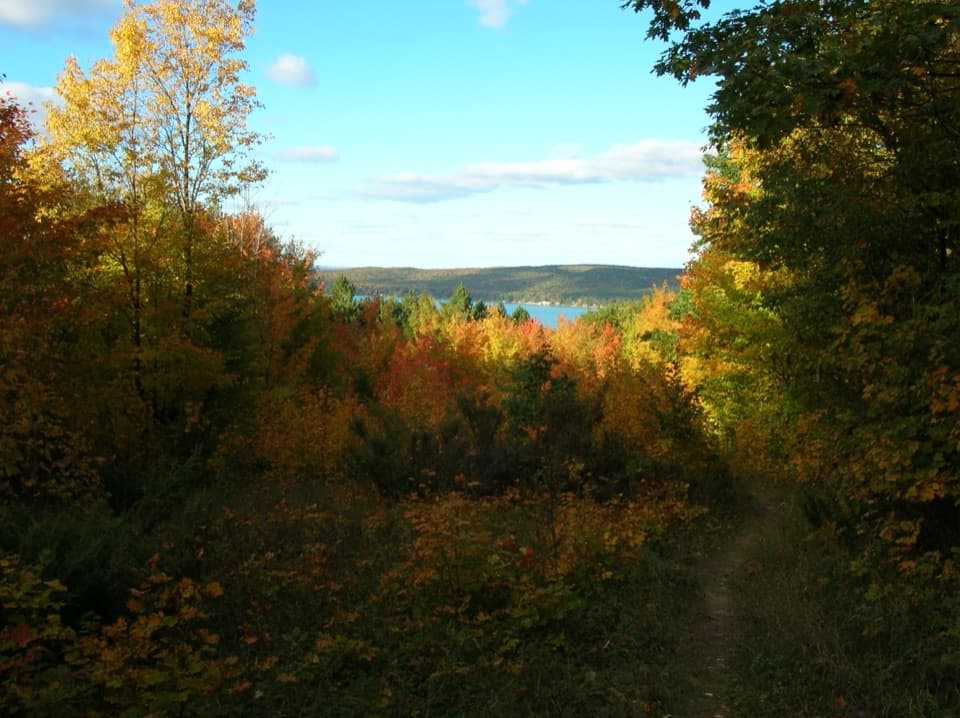 ModerateWindy Moraine Trail1.5 mi · 1 hr · 1.9 mi awayA short hill loop for a Glen Lake glimpse and forest stories.
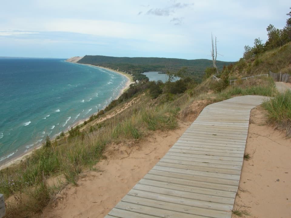 ModerateEmpire Bluff Trail1.5 mi · 1 hr · 2.1 mi awayA short wooded climb to the Lake Michigan double-dune view.
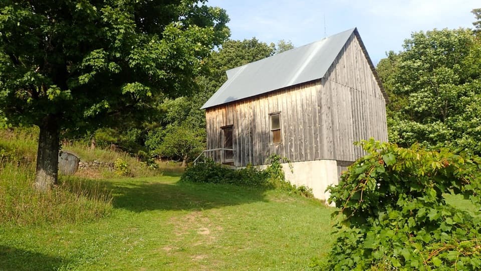 EasyTreat Farm Trail1.2 mi · 1 hr · 2.6 mi awayA short woods walk reaches a barn rebuilt piece by piece.
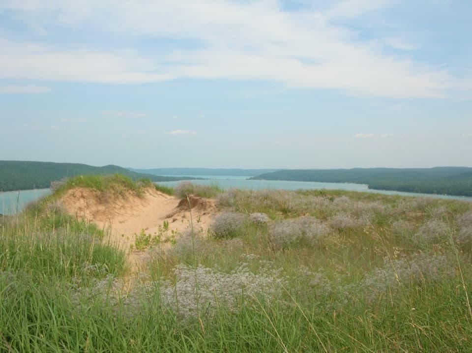 ModerateCottonwood Trail1.5 mi · 1 hr · 3 mi awayA marked dune loop reaches a bench above Glen Lake.
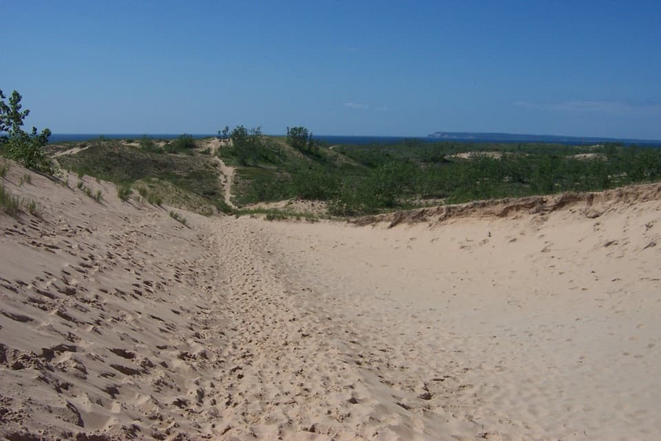 ChallengingDunes Hiking Trail3.5 mi · 3.5 hr · 3.7 mi awayNine sandy hills stand between you and Lake Michigan.
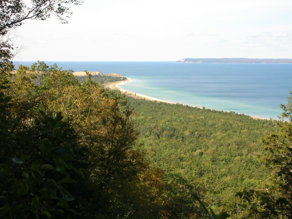 ModerateAlligator Hill Advanced Loop4.6 mi · 2.8 hr · 4.4 mi awayFollow the steep southern loop to Islands Lookout above Lake Michigan.ModerateAlligator Hill Intermediate Loop4.7 mi · 2.5 hr · 4.4 mi awayA hilly forest loop to Islands Lookout and Manitou views.
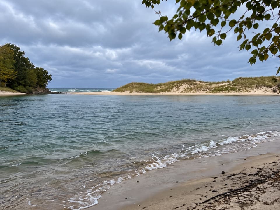 Beach · 1.2 mi awayNorth Bar BeachTwo very different swims sit a short walk apart.
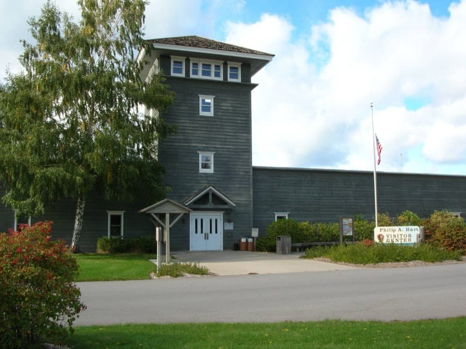 Visitor center · 1.3 mi awayPhilip A. Hart Visitor CenterA smart first stop for maps, ranger advice, and park context.
 Sight · 1.6 mi awayNorth Bar Lake Overlook and Picnic AreaSmall lake, sandy bar, and Lake Michigan in one wide view.
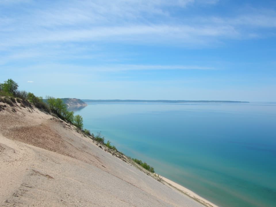 Sight · 2 mi awayLake Michigan OverlookLake Michigan opens up from 450 feet above the shore.
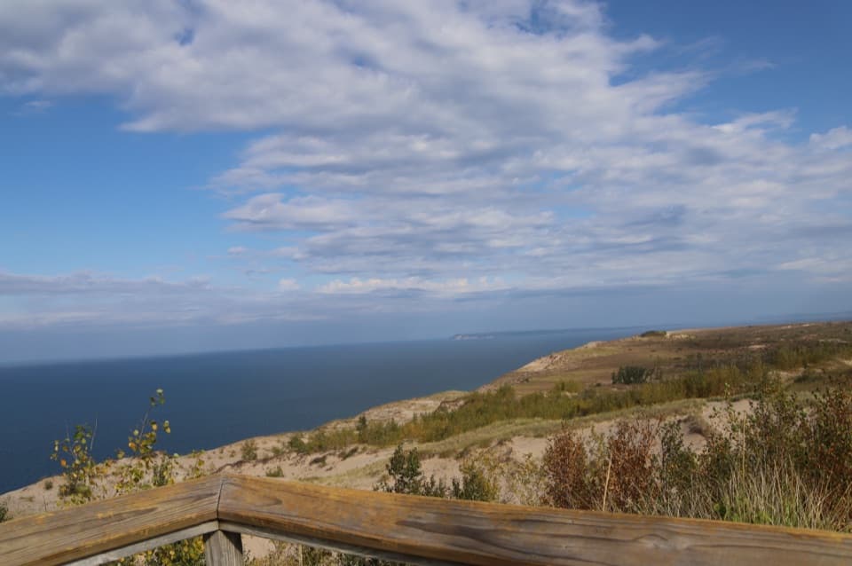 Sight · 2.1 mi awaySleeping Bear Dune OverlookSee the namesake dune a mile away, perched above Lake Michigan.
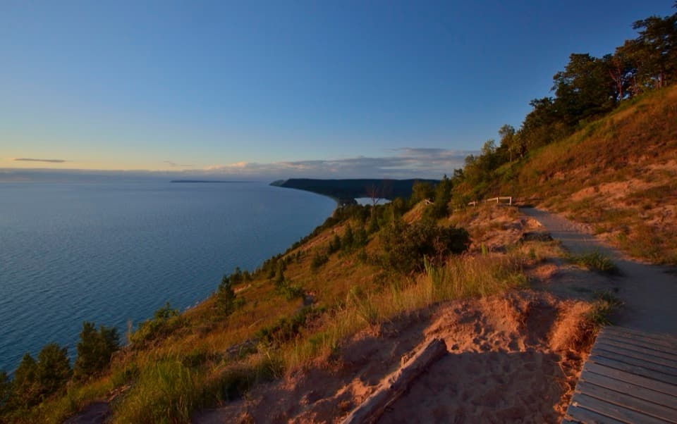 Sight · 2.2 mi awayEmpire Bluff OverlookA boardwalk panorama worth the hilly 1.5-mile walk.
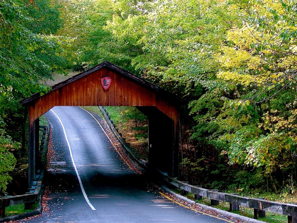 Sight · 2.2 mi awayPierce Stocking Covered BridgeA historic roadside bridge at the scenic drive's first stop.
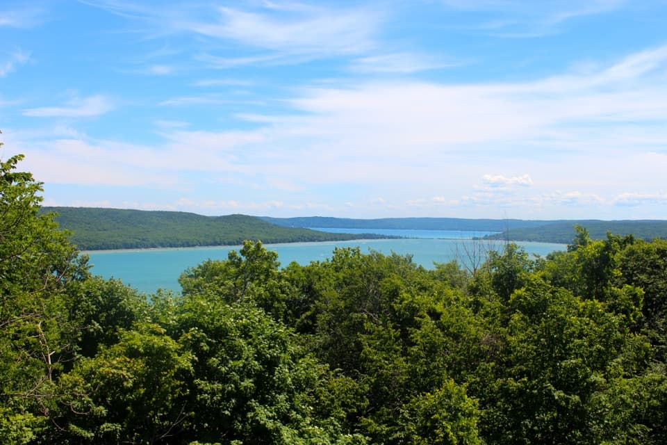 Sight · 2.7 mi awayGlen Lake OverlookTwo connected lakes and an alligator-shaped hill from one pull-off.
Parkwolf’s Sleeping Bear Dunes ranking

The audio tour guide for the drive, plus offline maps, trails, and wildlife heatmaps for when the signal drops.