Parking
Use the Old East Entrance Trailhead pullout between mile markers 22 and 23 on the South Unit Scenic Loop Drive.

Theodore Roosevelt National Park, ND
A short prairie walk to the South Unit’s old stone gateway.
Overview
Map & elevation
Plan your hike

The highest, rockiest slopes around here are a summer buffet for grizzly bears.
Theodore Roosevelt Tour Guide
Parkwolf is a GPS audio tour guide for Theodore Roosevelt National Park. As you drive, it chimes in with what’s ahead: hidden gems, upcoming stops, history, geology, and wildlife, right through your car’s speakers.
Recorded for this trailhead
Old East Entrance: A Gateway in a Prairie Dog Town“Up ahead is the trailhead for the Old East Entrance Station, the park's former sandstone gateway. Choose this for a little history and a walk through an active prairie dog town.”
Plays as you drive up to this trailhead in the Parkwolf Theodore Roosevelt Tour Guide.
More stories near here in the app
“Fantastic app with many points of information… It’s great to just turn on while you’re driving and it gives you an audio tour of the national Park. We love it!!!!”


Trail guide
Old East Entrance Station Trail is a short out-and-back from the South Unit Scenic Loop Drive to the park’s original eastern gateway. The mapped dirt path runs about 0.51 mile one way, or about 1 mile round trip, through an open prairie-dog town. Published figures range from 0.4 mile, with direction unspecified, to 0.8–0.9 mile round trip, so use the mapped-path figure as an estimate.
Choose this as a brief history stop, not a long badlands hike or a sweeping panorama.
From the roadside pullout, follow the dirt path across mostly level grassland. The stone entrance and small gatehouse sit at the far end; the mapped path bends around the entrance before it ends. Walk back the way you came. The walk is very easy; allow roughly 20–30 minutes with a short look around.
The Civilian Conservation Corps built the hand-hewn local-sandstone station in 1938 as the South Unit’s original entrance. When Interstate 94 replaced U.S. Highway 10 in 1968, the park entrance moved to Medora; the original stone sign is now at Painted Canyon Visitor Center. The old station sits in an active prairie-dog town. Pets are prohibited on park trails.
Wildlife
 1,082 sightingsBisonMost seen around 6 PMSighting map
 346 sightingsWild HorseMost seen around 7 PMSighting map
 27 sightingsWapitiMost seen around 7 AMSighting map
 45 sightingsBighorn SheepMost seen around 7 AMSighting map
 87 sightingsPronghornMost seen around 6 PMSighting map
 162 sightingsMule DeerMost seen around 8 PMSighting map
Sighting maps show where each species has been reported across Theodore Roosevelt. Wildlife moves, so no sighting is guaranteed.
Keep exploring
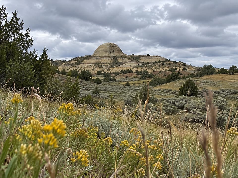 ModerateUpper Paddock Creek Trail7.7 mi · 4.5 hr · 1.4 mi awayCreek-side badlands give way to open prairie at the rim.
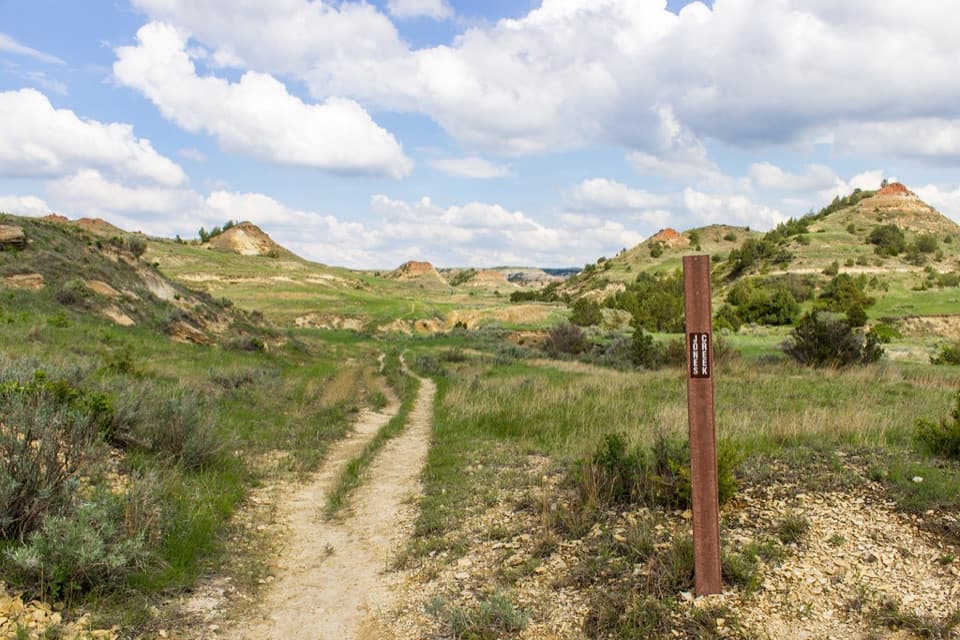 ModerateJones/Lower Talkington/Lower Paddock Loop11.4 mi · 7 hr · 1.5 mi awayThree creek-country trails make an 11.4-mile Badlands loop.
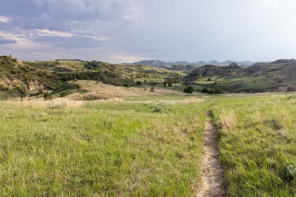 ChallengingUpper Paddock/Talkington Loop15.4 mi · 9 hr · 1.5 mi awayA 15.4-mile circuit over prairie, rim, and creek country.
 EasyCoal Vein Trail0.8 mi · 39 min · 1.5 mi awayA short badlands loop through the remains of an underground coal fire.
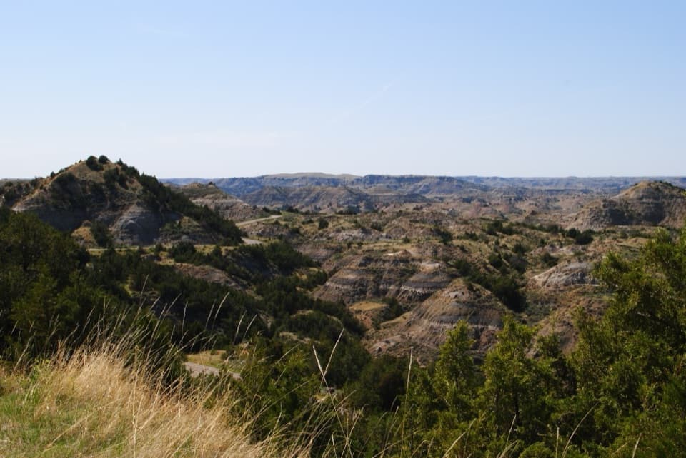 ModerateRidgeline Nature Trail0.6 mi · 30 min · 1.7 mi awayA quick climb into a maze of ridges, grasses, and juniper.
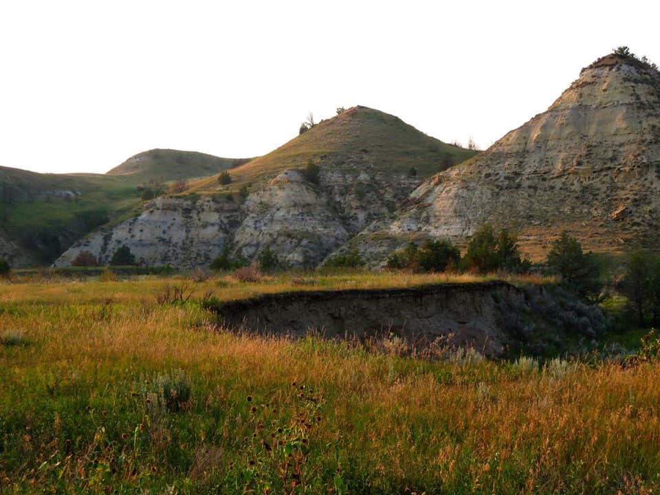 EasyBadlands Spur Trail1.7 mi · 54 min · 2 mi awayA short walk to the Lower Talkington junction and badlands views.
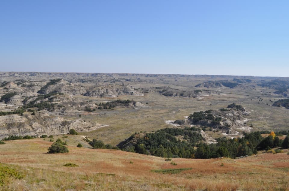 ModerateBuck Hill Trail0.4 mi · 20 min · 2.1 mi awayA short, steep climb opens the South Unit’s broad Badlands view.
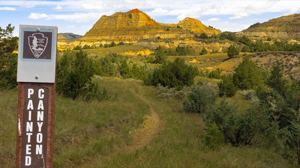 ModeratePainted Canyon Nature Trail0.9 mi · 45 min · 2.5 mi awayStep down for layered badlands, then climb back up to the rim.
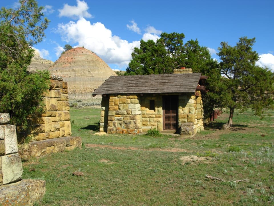 Sight · 0.4 mi awayOld East Entrance StationThe park's original stone gateway sits in an active prairie dog town.
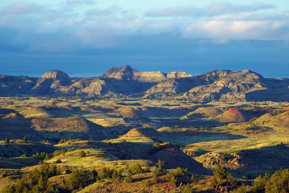 Sight · 1.3 mi awayBadlands OverlookLayered buttes make this the South Unit's panoramic finale.
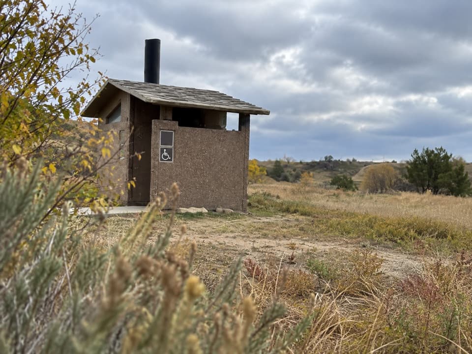 Restroom · 2 mi awaySouth Unit Scenic Drive RestroomAn accessible restroom midway around the South Unit loop.Sight · 2.1 mi awayBuck HillA steep 15-minute climb opens to a full Badlands panorama.
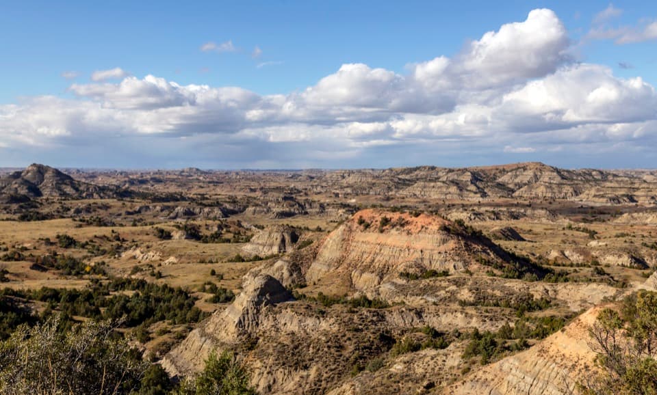 Sight · 2.5 mi awayPainted Canyon Overlook and Visitor CenterA rim-top badlands panorama, with bison sometimes grazing nearby.
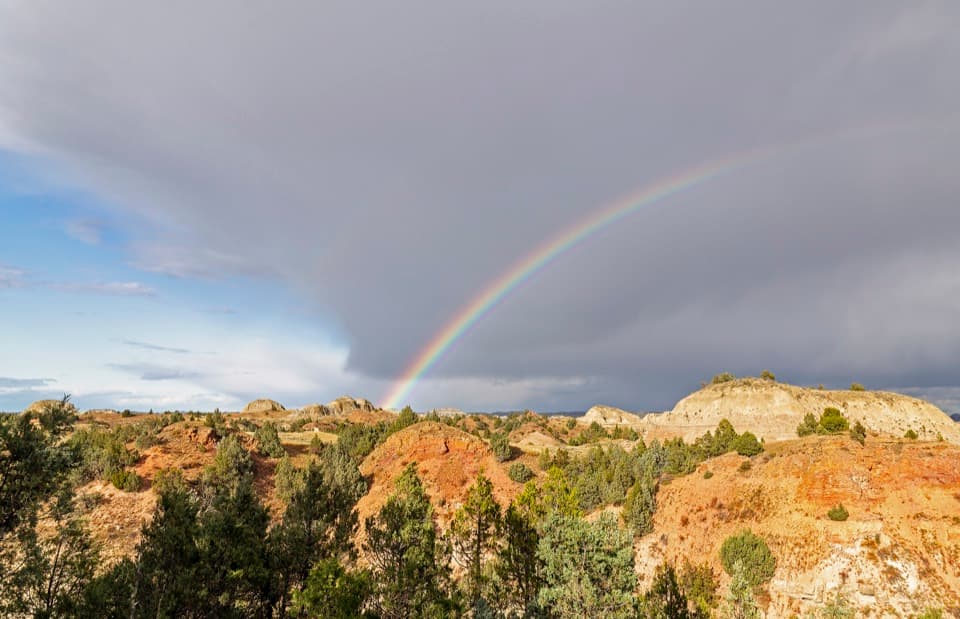 Sight · 3 mi awayScoria Point OverlookAn easy first look at the South Unit's red badlands.
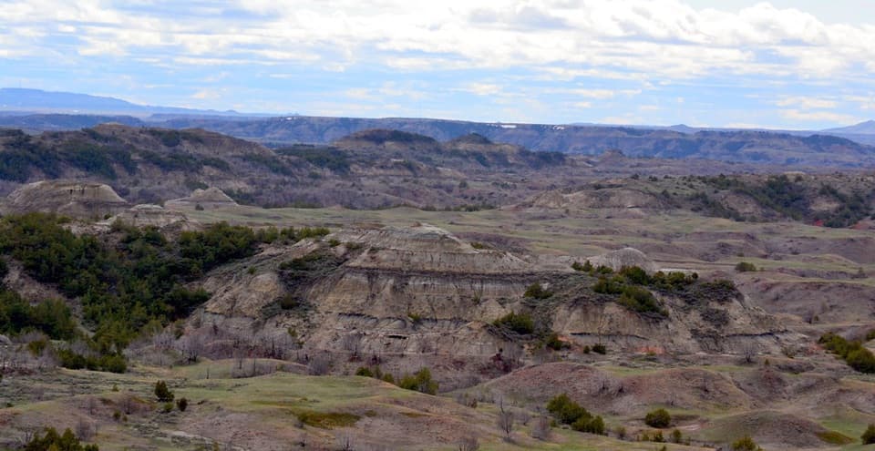 Sight · 3.7 mi awayBoicourt OverlookA short paved walk opens onto rolling badlands and distant buttes.
 Scenic pullout · 4.2 mi awayJohnson's Plateau Roadside PulloffAn easy scenic-drive stop for watching prairie dogs at work.
Parkwolf’s Theodore Roosevelt ranking

The audio tour guide for the drive, plus offline maps, trails, and wildlife heatmaps for when the signal drops.