Upper Paddock Creek Trail in Theodore Roosevelt National Park

Theodore Roosevelt National Park, ND

Upper Paddock Creek Trail

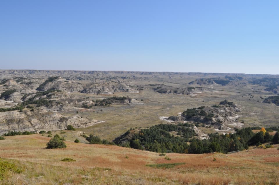
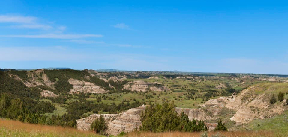
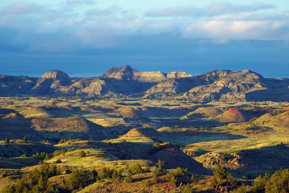
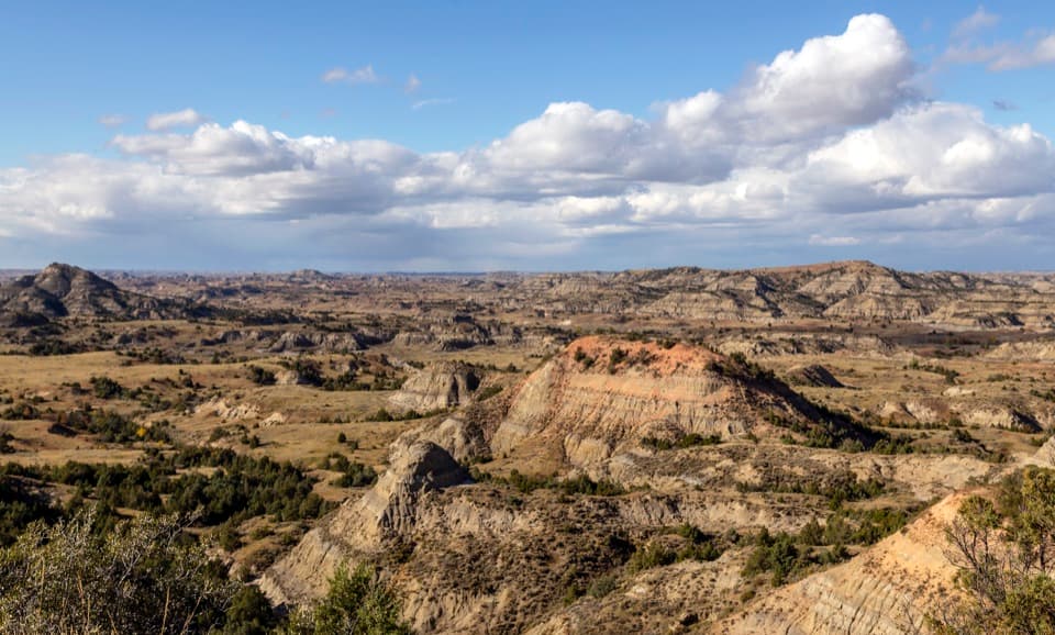
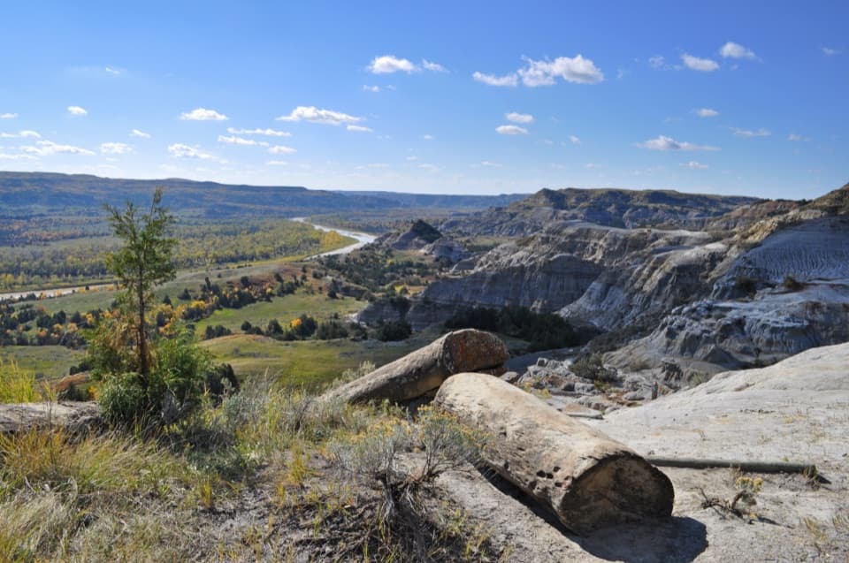
Creek-side badlands give way to open prairie at the rim.

Length
7.7mi
Time
4.5hr
Elev. change
459ft
Difficulty
Moderate
  • No dogs
  • High point 2,802 ft

Hear the audio tour

An Owl at the Burrow

Overview

About Upper Paddock Creek Trail

Why go

  • Creek-side badlands rise to a broad, open prairie rim.

Heads up

  • No parking area was verified at the west road crossing.
  • The final junctions near the plateau can be confusing.

Map & elevation

The route

Loading the Theodore Roosevelt map
Full map
Elevation2,343–2,802 ft
TrailheadScenic Loop Drive crossing at the Upper/Lower Paddock division46.93197, -103.43190
Keep this map with you offline in the Parkwolf app

Plan your hike

Before you go

Parking

The west end is the Scenic Loop Drive crossing where Upper and Lower Paddock divide; no parking area was verified there. No separate road access or pickup at the Rim Trail end was confirmed. The National Park Service describes the longer 15.4-mile Upper Paddock/Talkington Loop; approaching it from Painted Canyon adds 4 miles round trip. Use that established loop itinerary or arrange transport for both ends rather than assuming this segment has drive-up parking.


Safety

Steep hills, creek crossings that have been muddy, and confusing paths near the final climb make this a demanding backcountry route. Carry sufficient drinking water. Pets, bicycles, and motorized equipment are prohibited on park trails and in the backcountry. Parking at the west crossing and separate access at the Rim Trail end were not verified; plan the segment within the longer loop unless you have confirmed transport.

2 active Theodore Roosevelt alerts

  • ClosureRidgeline Nature Trail inaccessibleDo not plan to use the South Unit’s Ridgeline Nature Trail; it is currently inaccessible because of a road collapse. - The trail is 0.6 mile long.Official details
  • InfoChanged access route to Petrified Forest trailheadUse the approved legal route from I-94 Exit 10 to reach the Petrified Forest trailhead; follow the clearly marked posts.Official details
Theodore Roosevelt alerts
A park ranger sits on a dash-mounted phone, talking, as Parkwolf’s Tour Guide plays “Army Cutworm Moths: A Grizzly Bear Buffet” on Grand Loop Road below Dunraven Pass in Yellowstone
Parkwolf Tour GuideThe highest, rockiest slopes around here are a summer buffet for grizzly bears.

Theodore Roosevelt Tour Guide

Your drive to Upper Paddock Creek Trail, narrated.

Parkwolf is a GPS audio tour guide for Theodore Roosevelt National Park. As you drive, it chimes in with what’s ahead: hidden gems, upcoming stops, history, geology, and wildlife, right through your car’s speakers.

Recorded for this area

An Owl at the Burrow
0:00 / 0:29
“At a prairie dog town in summer, look for a small owl standing on long legs beside a burrow. Burrowing owls nest underground, using holes left by animals such as prairie dogs.”

Plays on the road 0.2 mi from the trailhead in the Parkwolf Theodore Roosevelt Tour Guide.

More stories near here in the app

  • Badlands Overlook: A Landscape Hard to Cross
  • Chorus Frogs at Coal Vein
  • Old East Entrance: A Gateway in a Prairie Dog Town
  • Coal Vein Trail: The Ground Above the Fire
  • 45 audio storiesacross Theodore Roosevelt’s roads, triggered by GPS as you drive
  • Wildlife heatmapsfor Bison, Wild Horse, Wapiti, and 13 more
  • Works offlinemaps, 38 trails, 35 places, and audio download before you lose signal
  • CarPlay readysimple controls built for the drive
★★★★★
“Fantastic app with many points of information… It’s great to just turn on while you’re driving and it gives you an audio tour of the national Park. We love it!!!!”
JMJamesApp Store review
Download Parkwolf on the App StoreGet Parkwolf on Google Play

4.7 from 8,600+ ratings

Trail guide

Hiking Upper Paddock Creek Trail

What this segment isUpper Paddock Creek Trail is the 7.

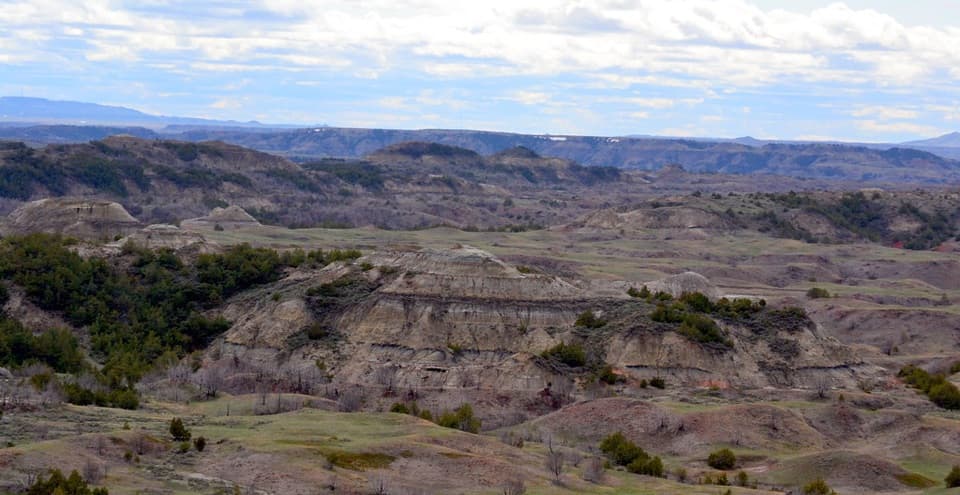
Upper Paddock Creek Trail is the 7.7-mile, one-way eastern segment of Paddock Creek Trail, from the Scenic Loop Drive crossing where Upper and Lower Paddock divide to the Rim Trail junction on the South Unit’s prairie edge. It follows creek-side badlands, climbs and drops over steep hills, then tops out on a grassy plateau. The mapped line measures 7.74 miles; older route figures are 6.8–6.9, so plan to the longer mapped distance. Allow about four and a half hours for this leg alone. It is part of the National Park Service’s 15.4-mile Upper Paddock/Talkington Loop, not a loop itself; access from Painted Canyon adds 4 miles round trip. Use it as a segment of that longer outing unless you have a confirmed way to manage the through-route’s endpoints.

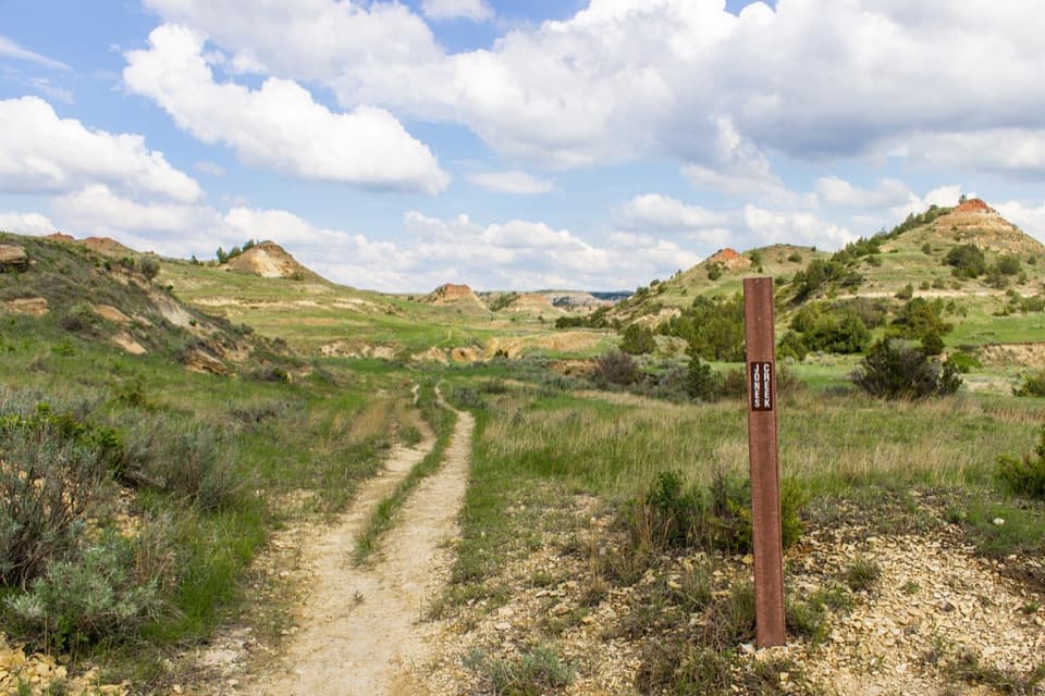
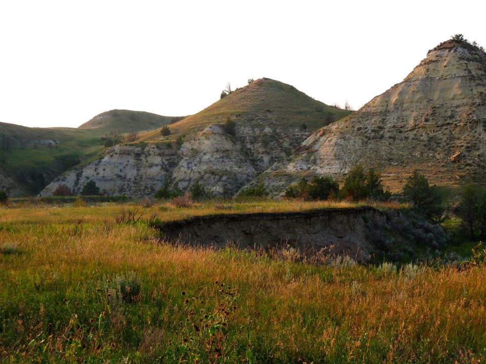
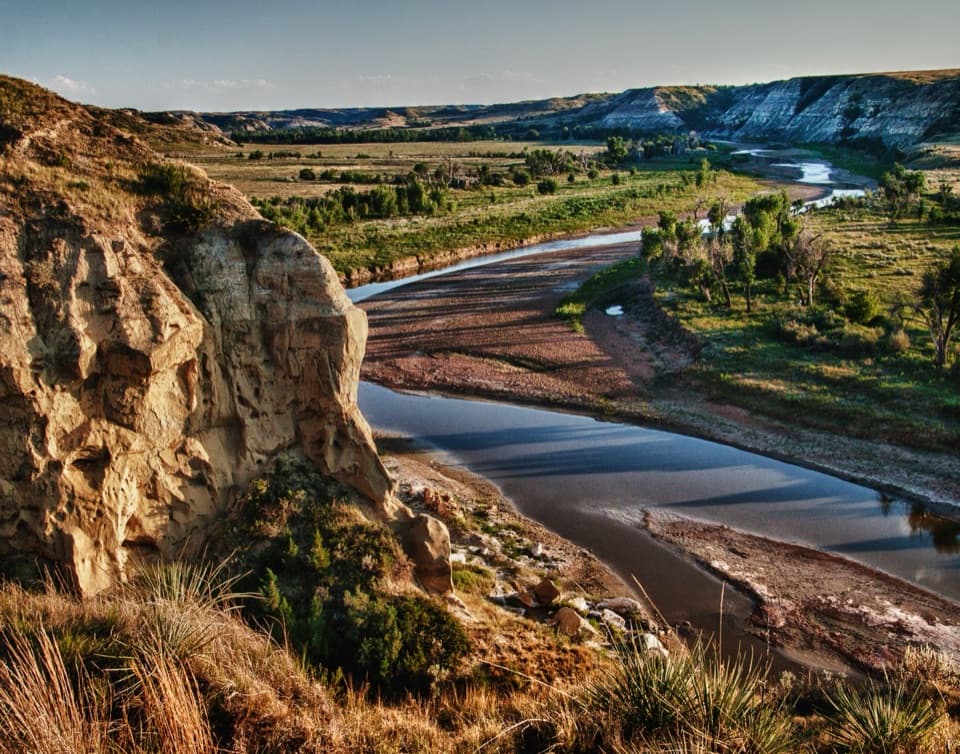
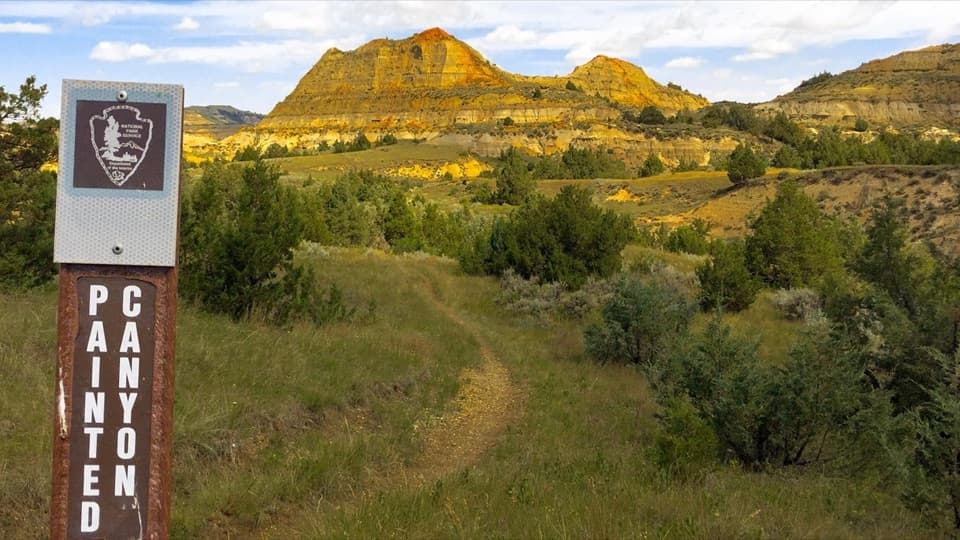
Creek-side badlandsFrom the road crossing, the path follows the Paddock Creek drainage through brushy draws.

From the road crossing, the path follows the Paddock Creek drainage through brushy draws. Low ground can hold standing water, and creek crossings have been reported muddy. The route reaches the Painted Canyon Trail junction before the ground rises into steeper hills.

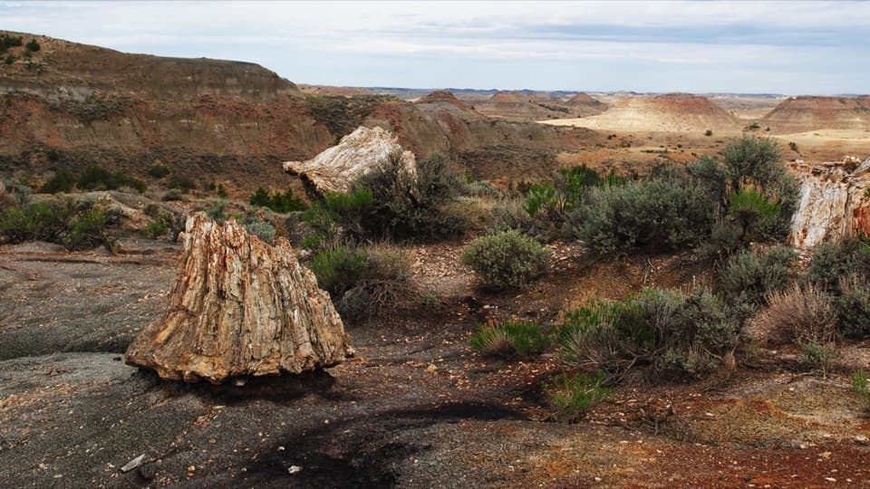
Climbing to the plateauAfter that junction, the trail climbs steep hills, drops again, then climbs out of the badlands…

After that junction, the trail climbs steep hills, drops again, then climbs out of the badlands onto grassland near I-94. Near the base of the final rise, several paths can split and make the intended line hard to pick out. Keep the mapped route available and confirm the Rim Trail junction before continuing east.

At the Rim Trail junctionThe route ends where Rim Trail begins on the plateau edge.

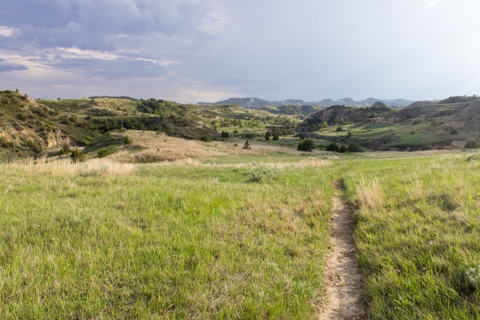
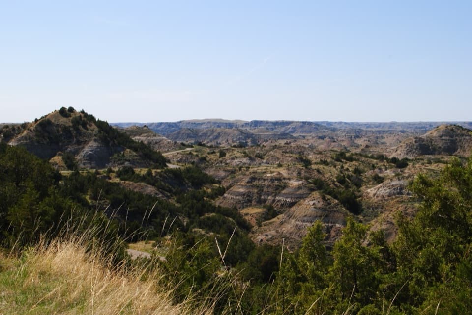
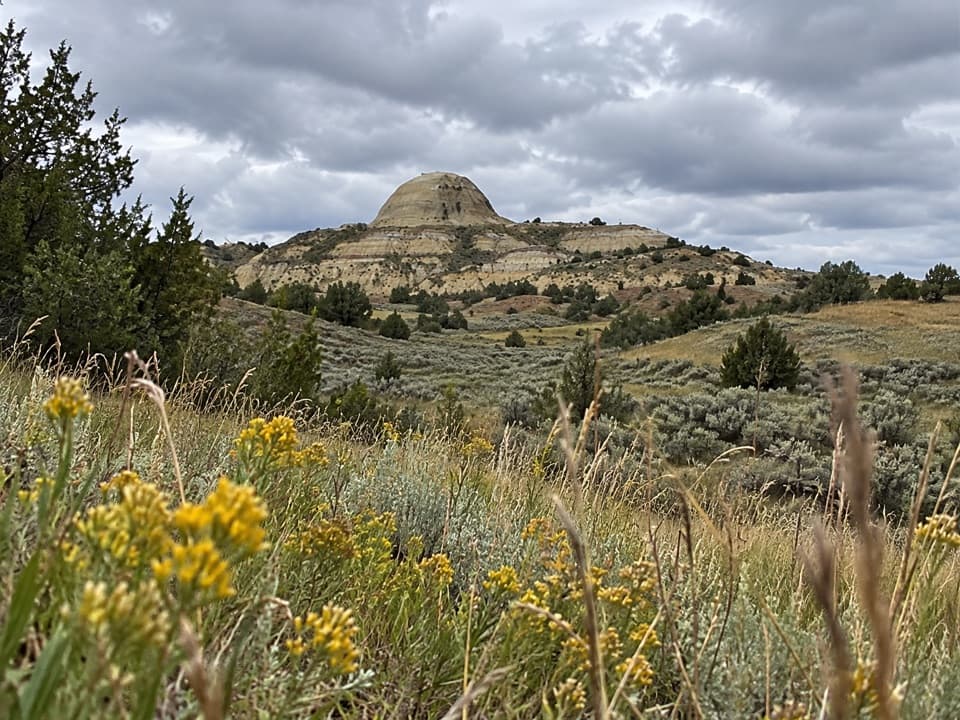
The route ends where Rim Trail begins on the plateau edge. Flat grassland stretches east; the ground falls about 200 feet west into the badlands. That sudden change from prairie to broken terrain is the walk’s clearest payoff. Looking west from the rim puts the grassland edge and the drop into the same view.

Access and rulesNo food, restroom, or reliable drinking-water source was verified on this backcountry segment,…

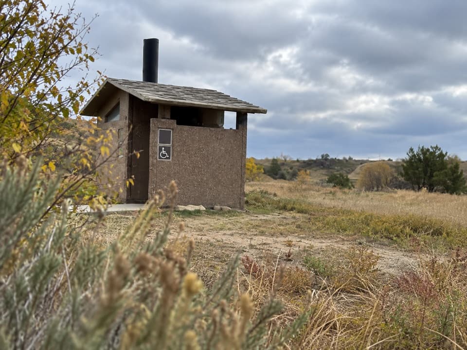
No food, restroom, or reliable drinking-water source was verified on this backcountry segment, so carry what you need. Pets, bicycles, and motorized equipment are prohibited on park trails and in the backcountry. The free backcountry permit applies to overnight camping.

Wildlife

Wildlife in Theodore Roosevelt

All Theodore Roosevelt wildlife maps

Sighting maps show where each species has been reported across Theodore Roosevelt. Wildlife moves, so no sighting is guaranteed.

Keep exploring

Near Upper Paddock Creek Trail

See it all on the map

Trails that start nearby

Places near the trailhead

Parkwolf’s Theodore Roosevelt ranking

Top-rated trails in Theodore Roosevelt

All 38 trails
  1. 1Caprock Coulee TrailModerate · 4.3 mi
  2. 2Wind Canyon TrailModerate · 0.5 mi
  3. 3Petrified Forest LoopModerate · 10.3 mi
  4. 4Painted Canyon Nature TrailModerate · 0.9 mi
  5. 5Big Plateau and Ekblom Trail LoopModerate · 5.4 mi
  6. 6Boicourt Overlook TrailEasy · 0.8 mi

Take Parkwolf to Theodore Roosevelt.

The audio tour guide for the drive, plus offline maps, trails, and wildlife heatmaps for when the signal drops.

4.7 from 8,600+ ratings

Download Parkwolf on the App StoreGet Parkwolf on Google Play