Parking
Start at the Ridgeline Nature Trailhead on South Unit Scenic Loop Drive, between mile markers 24 and 25.
Theodore Roosevelt National Park, ND
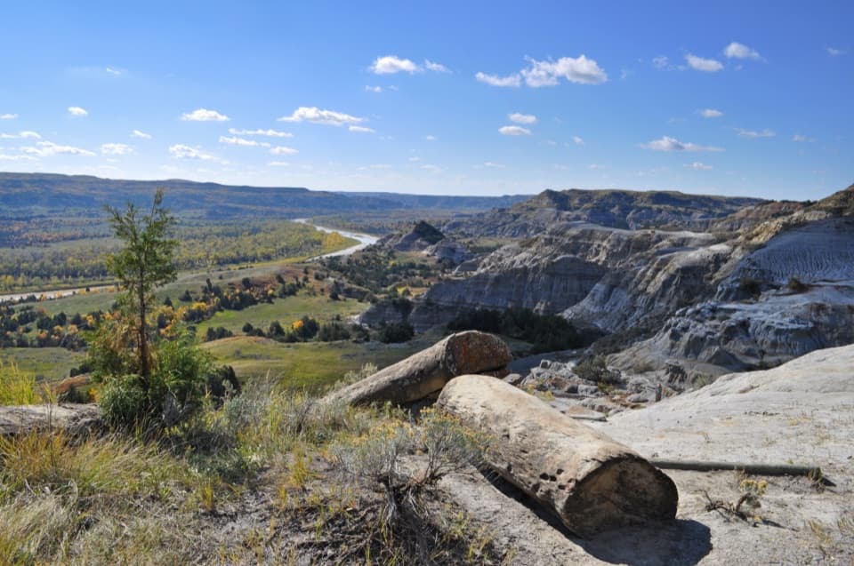
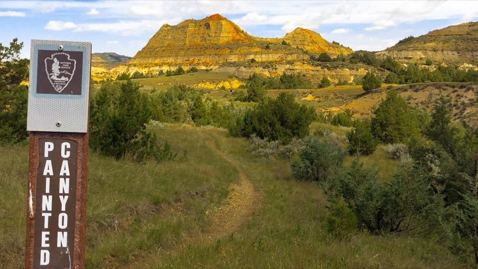
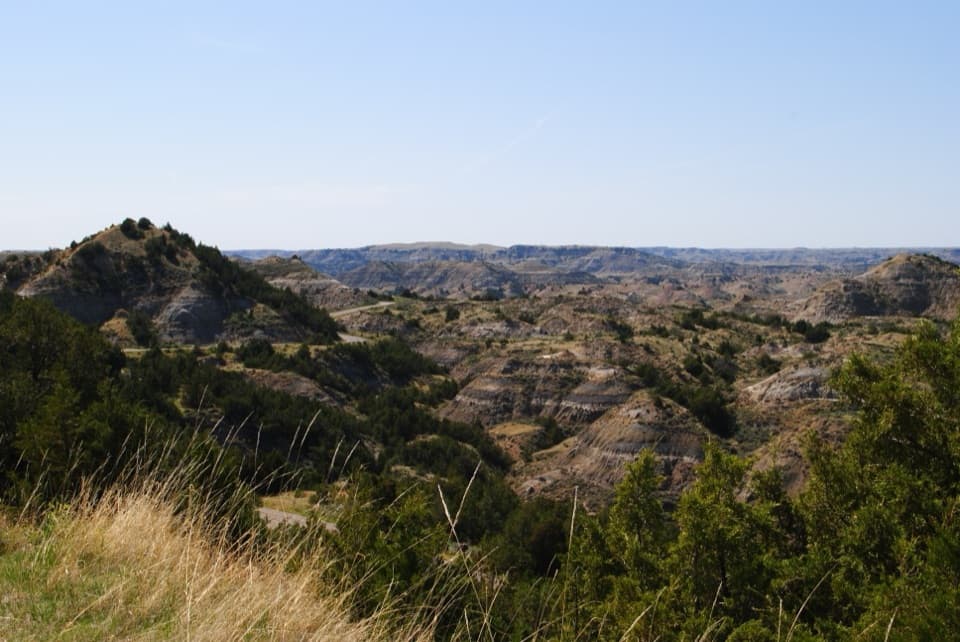
A quick climb into a maze of ridges, grasses, and juniper.
Overview
Map & elevation
Plan your hike

The highest, rockiest slopes around here are a summer buffet for grizzly bears.
Theodore Roosevelt Tour Guide
Parkwolf is a GPS audio tour guide for Theodore Roosevelt National Park. As you drive, it chimes in with what’s ahead: hidden gems, upcoming stops, history, geology, and wildlife, right through your car’s speakers.
See the Theodore Roosevelt audio tourRecorded for this trailhead
Ridgeline Nature Trail: Prairie and Juniper“The Ridgeline Nature Trail is coming up, a short walk through prairie above juniper-filled ravines. The loop is roughly six-tenths of a mile and takes about half an hour, with steep grades, stairs, and cliff edges.”
Plays as you drive up to this trailhead in the Parkwolf Theodore Roosevelt Tour Guide.
More stories near here in the app
“Fantastic app with many points of information… It’s great to just turn on while you’re driving and it gives you an audio tour of the national Park. We love it!!!!”


Trail guide
Ridgeline Nature Trail is a roughly 0.6-mile interpretive loop on a badlands ridge in the South Unit. Plan on about 30 minutes, or longer if you stop at the numbered posts. It climbs through moderate-to-steep grades and stairs, then circles the ridge and returns along the same short approach. The trailhead is on South Unit Scenic Loop Drive between mile markers 24 and 25. Follow the posts in order; near the end the route climbs once more and bends left toward the start.
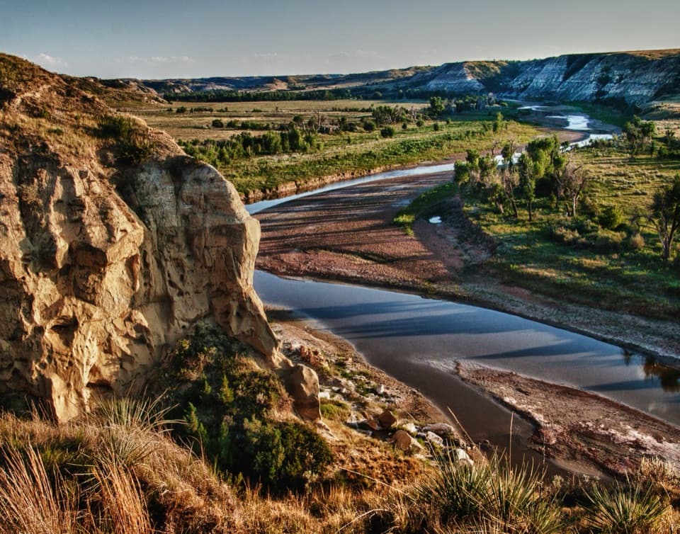
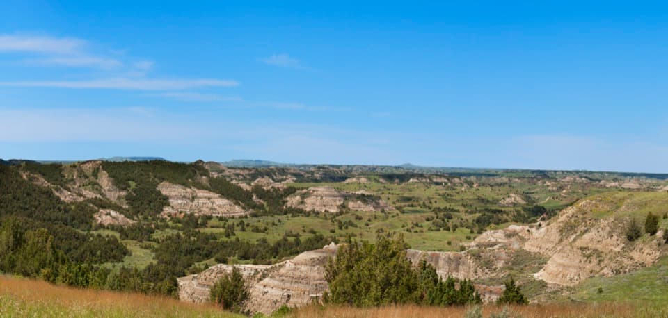
The payoff is a close look at dry prairie and juniper-filled ravines, with broad layers of badlands opening around the ridge. This is a good short walk when you want more than a pullout view but do not have time for a longer hike.
The first stops introduce Rocky Mountain juniper, chokecherry, silver sagebrush, prairie wild rose, and purple coneflower. As the trail crosses the ridge, the plant cover changes with the slope: cooler, wetter ground holds more trees and shrubs, while sun-baked slopes stay grassier and more open. The numbered stops make the walk a small field guide, so pause to compare the patches instead of hurrying through.
The stops explain how grazing and fire help keep prairie open, and how invasive plants such as Canada thistle and leafy spurge can crowd out native species. They also connect the land’s long history of Indigenous prairie burning with the park’s present-day prescribed fires. Look for the contrast between open grassland and juniper cover; the two habitats support different parts of the badlands community.
Shrubs and trees produce berries that feed birds, especially during summer and fall migration. Elk use juniper for cover and graze in open prairie, though sightings are never guaranteed. The brochure flags cliff edges, rattlesnakes, wildlife, and poison ivy, so watch the narrow tread and give animals room. Pets are not allowed on park trails. For a photo, keep ridge grasses or juniper in the foreground so the layered badlands have a sense of scale.
Wildlife
 1,082 sightingsBisonMost seen around 6 PMSighting map
 346 sightingsWild HorseMost seen around 7 PMSighting map
 27 sightingsWapitiMost seen around 7 AMSighting map
 46 sightingsBighorn SheepMost seen around 7 AMSighting map
 87 sightingsPronghornMost seen around 6 PMSighting map
 162 sightingsMule DeerMost seen around 8 PMSighting map
Sighting maps show where each species has been reported across Theodore Roosevelt. Wildlife moves, so no sighting is guaranteed.
Keep exploring
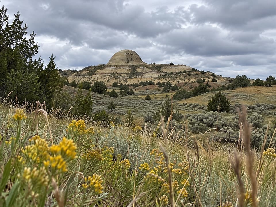 ModerateUpper Paddock Creek Trail7.7 mi · 4.5 hr · 1.6 mi awayCreek-side badlands give way to open prairie at the rim.
 EasyOld East Entrance Station Trail1 mi · 24 min · 1.7 mi awayA short prairie walk to the South Unit’s old stone gateway.
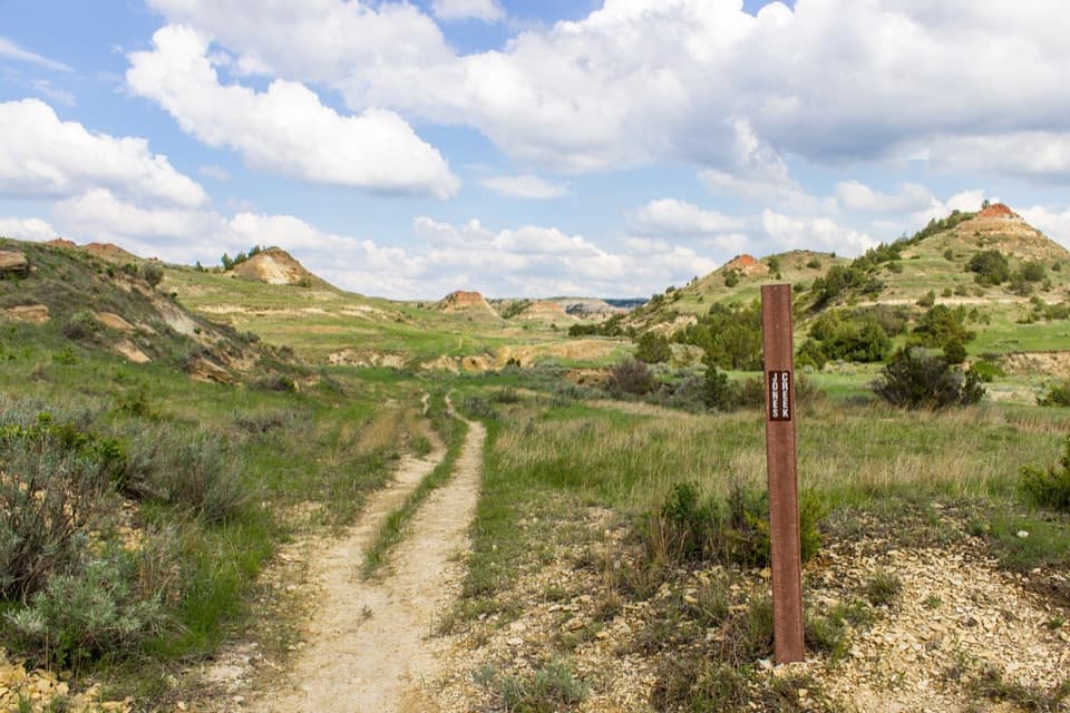 ModerateJones/Lower Talkington/Lower Paddock Loop11.4 mi · 7 hr · 1.8 mi awayThree creek-country trails make an 11.4-mile Badlands loop.
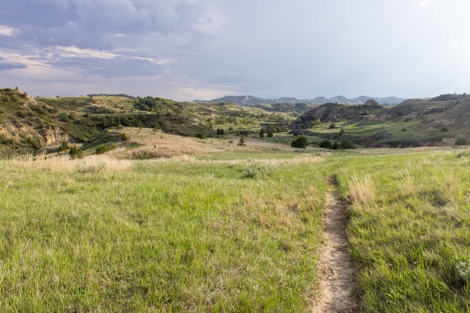 ChallengingUpper Paddock/Talkington Loop15.4 mi · 9 hr · 1.8 mi awayA 15.4-mile circuit over prairie, rim, and creek country.
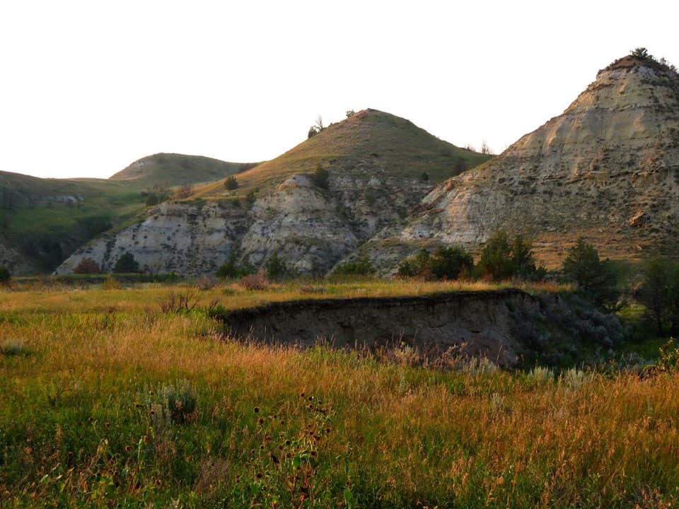 EasyBadlands Spur Trail1.7 mi · 54 min · 2.4 mi awayA short walk to the Lower Talkington junction and badlands views.
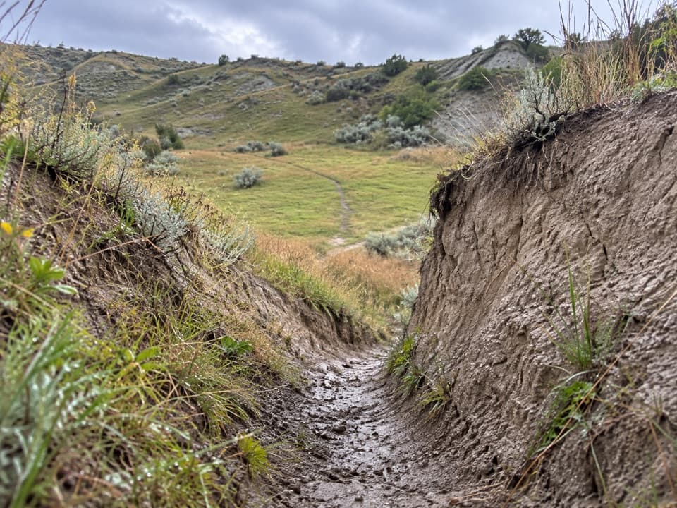 ModerateLower Paddock Creek Trail3.6 mi · 2 hr · 2.6 mi awayWalk through a prairie-dog town and follow Paddock Creek upstream.
 EasyCoal Vein Trail0.8 mi · 39 min · 2.9 mi awayA short badlands loop through the remains of an underground coal fire.
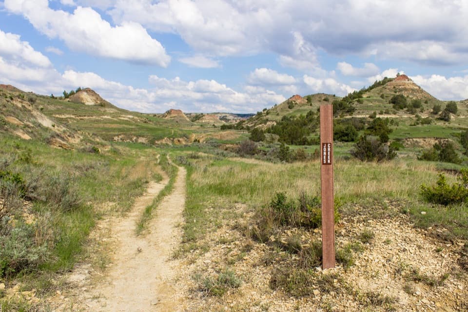 ModerateJones Creek Trail4.5 mi · 2.5 hr · 3.2 mi awayA creek-valley traverse through the South Unit badlands
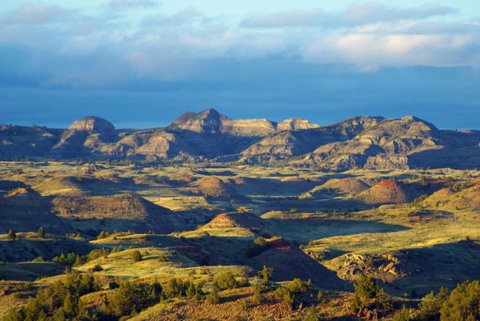 Sight · 0.5 mi awayBadlands OverlookLayered buttes make this the South Unit's panoramic finale.
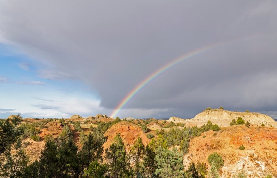 Sight · 1.2 mi awayScoria Point OverlookAn easy first look at the South Unit's red badlands.
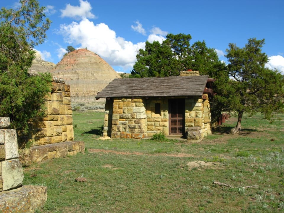 Sight · 2.2 mi awayOld East Entrance StationThe park's original stone gateway sits in an active prairie dog town.
 Scenic pullout · 2.5 mi awayJohnson's Plateau Roadside PulloffAn easy scenic-drive stop for watching prairie dogs at work.
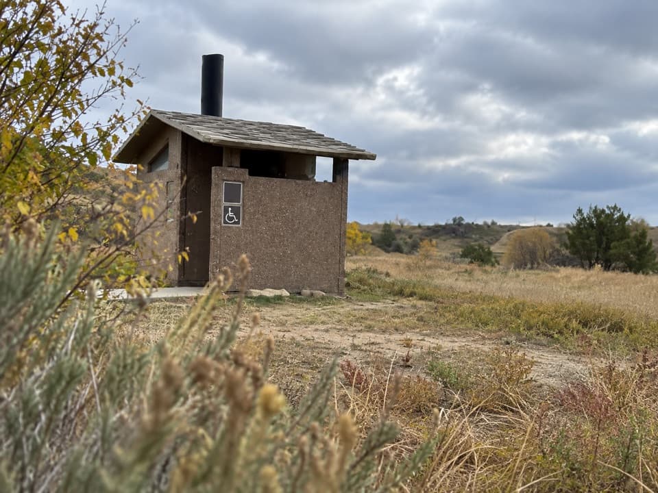 Restroom · 3 mi awaySouth Unit Scenic Drive RestroomAn accessible restroom midway around the South Unit loop.
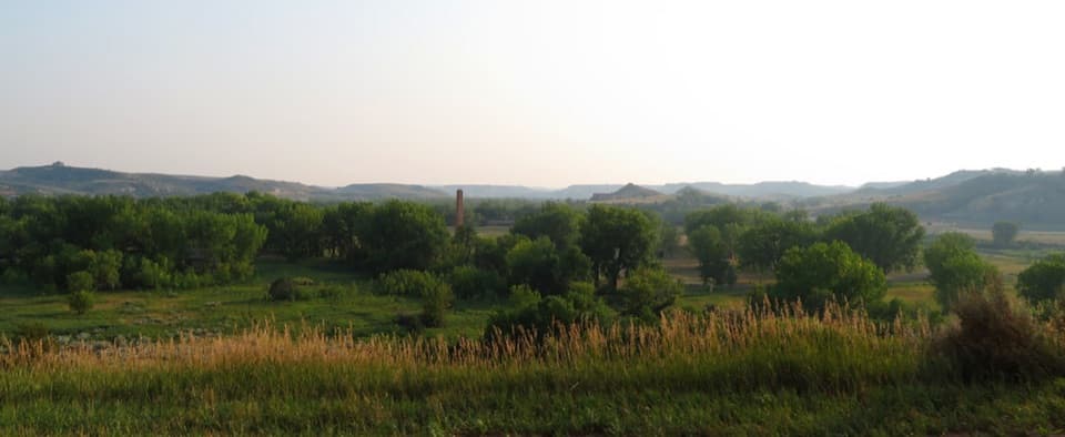 Scenic pullout · 3 mi awayMedora OverlookA quick look from Medora to the Little Missouri River
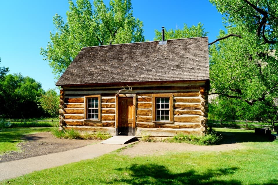 Sight · 3 mi awayMaltese Cross CabinAn 1883 cabin that traveled from the World’s Fair to the Badlands.
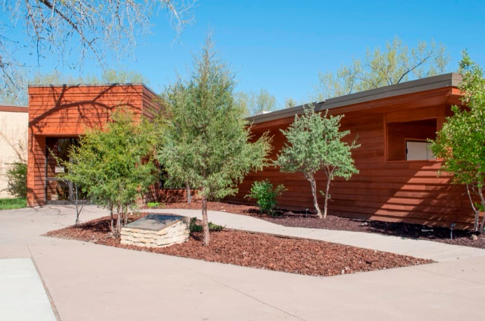 Visitor center · 3 mi awaySouth Unit Visitor CenterAsk a ranger about the South Unit loop before setting out.
Parkwolf’s Theodore Roosevelt ranking

The audio tour guide for the drive, plus offline maps, trails, and wildlife heatmaps for when the signal drops.