Parking
Use the gravel parking area at Peaceful Valley Ranch Trailhead, reached by the ranch access road. The route ends at East River Road by the Jones Creek junction; arrange a pickup or retrace the 0.93-mile trail.
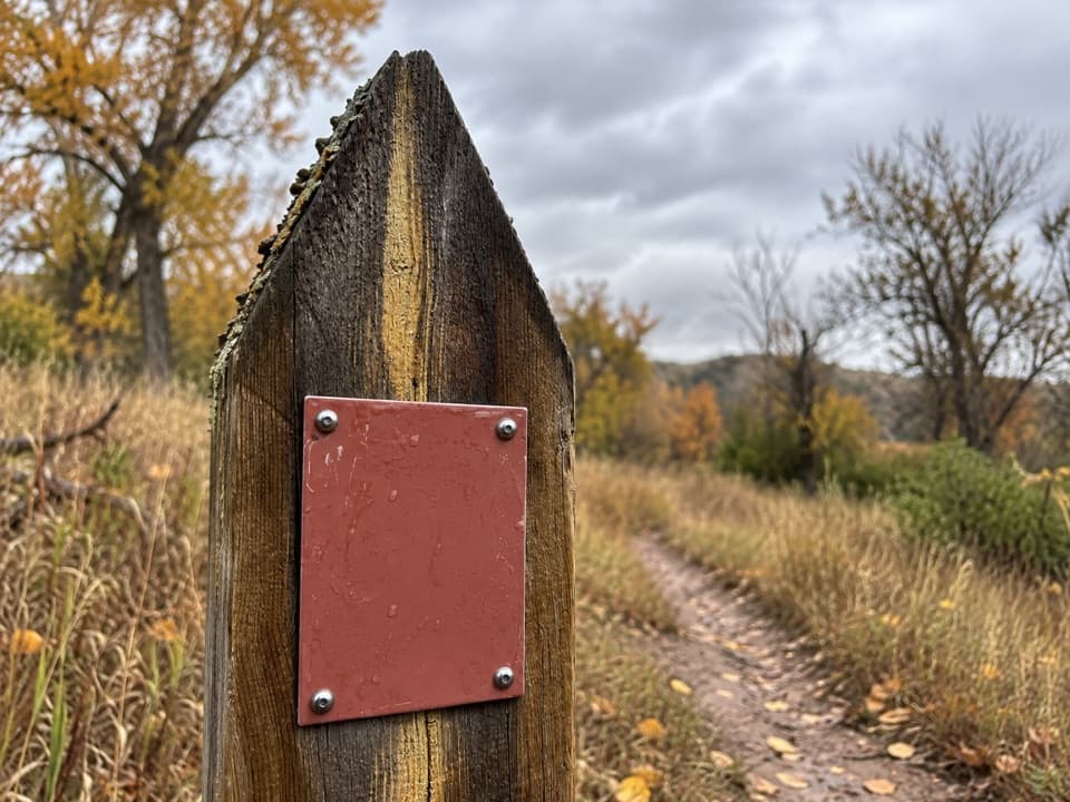
Theodore Roosevelt National Park, ND
A flat grassland path to the Jones Creek junction.
Overview
Map & elevation
Plan your hike

The highest, rockiest slopes around here are a summer buffet for grizzly bears.
Theodore Roosevelt Tour Guide
Parkwolf is a GPS audio tour guide for Theodore Roosevelt National Park. As you drive, it chimes in with what’s ahead: hidden gems, upcoming stops, history, geology, and wildlife, right through your car’s speakers.
Recorded for this trailhead
Peaceful Valley Ranch: Ranch House to Park Headquarters“You're nearing Peaceful Valley Ranch, a short stop for a white ranch house, log bunkhouse, and stable beside the Little Missouri valley.”
Plays as you drive up to this trailhead in the Parkwolf Theodore Roosevelt Tour Guide.
More stories near here in the app
“Fantastic app with many points of information… It’s great to just turn on while you’re driving and it gives you an audio tour of the national Park. We love it!!!!”


Trail guide
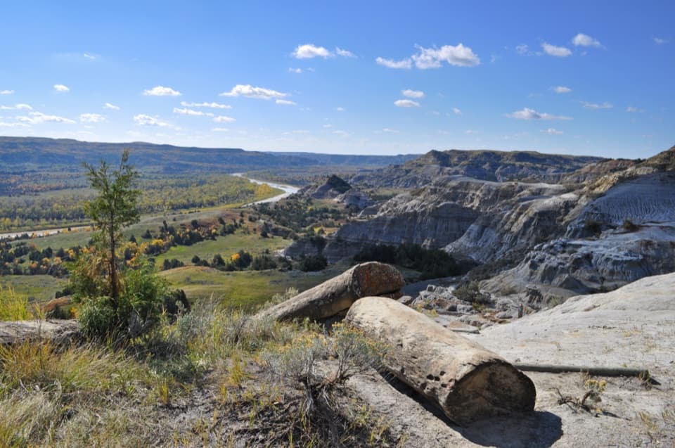
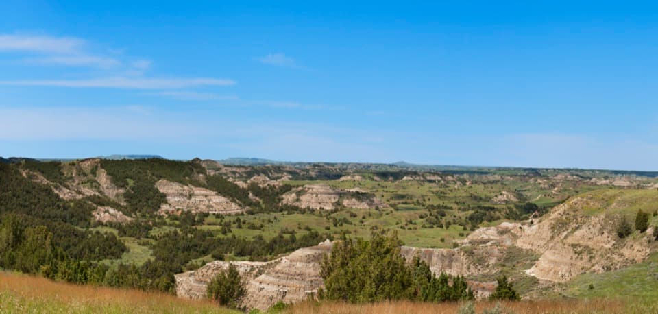
From Peaceful Valley Ranch, the CCC Trail heads east and then northeast through open grass and cottonwoods for about 0.93 mile one way, ending where it meets Jones Creek Trail by East River Road. This is a quiet lowland walk with the badlands rising beyond the valley rather than a climb. Allow about 30 minutes one way; without a pickup at the road, retrace the path for roughly 1.86 miles and about an hour total.
The route crosses Paddock Creek without a bridge. Low ground can be swampy after rain, while dried bison tracks can make the tread rough and lumpy. Wildlife paths and damaged trail markers can complicate wayfinding, so follow the marked route toward the road junction rather than branching onto game trails.
The trail passes through the historic Peaceful Valley landscape near the site of a 1930s Civilian Conservation Corps camp, which gives the route its name. Hikers and horseback riders are allowed on the trail; pets are prohibited on park trails.
Wildlife
 1,082 sightingsBisonMost seen around 6 PMSighting map
 346 sightingsWild HorseMost seen around 7 PMSighting map
 27 sightingsWapitiMost seen around 7 AMSighting map
 45 sightingsBighorn SheepMost seen around 7 AMSighting map
 87 sightingsPronghornMost seen around 6 PMSighting map
 162 sightingsMule DeerMost seen around 8 PMSighting map
Sighting maps show where each species has been reported across Theodore Roosevelt. Wildlife moves, so no sighting is guaranteed.
Keep exploring
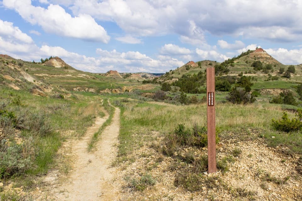 ModerateJones Creek Trail4.5 mi · 2.5 hr · At the trailheadA creek-valley traverse through the South Unit badlands
 ChallengingLone Tree Loop9.1 mi · 5.5 hr · 0.1 mi awayA steep loop to a spring basin and broad badlands views.
 ModerateBig Plateau and Ekblom Trail Loop5.4 mi · 2.5 hr · 0.1 mi awayA high plateau loop with two river crossings and badlands views.
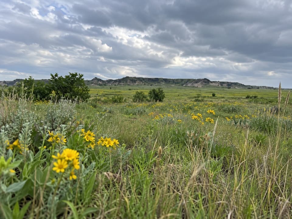 ChallengingBig Plateau Trail1.8 mi · 1.5 hr · 0.1 mi awayA short, strenuous climb opens onto a wide grassland plateau.
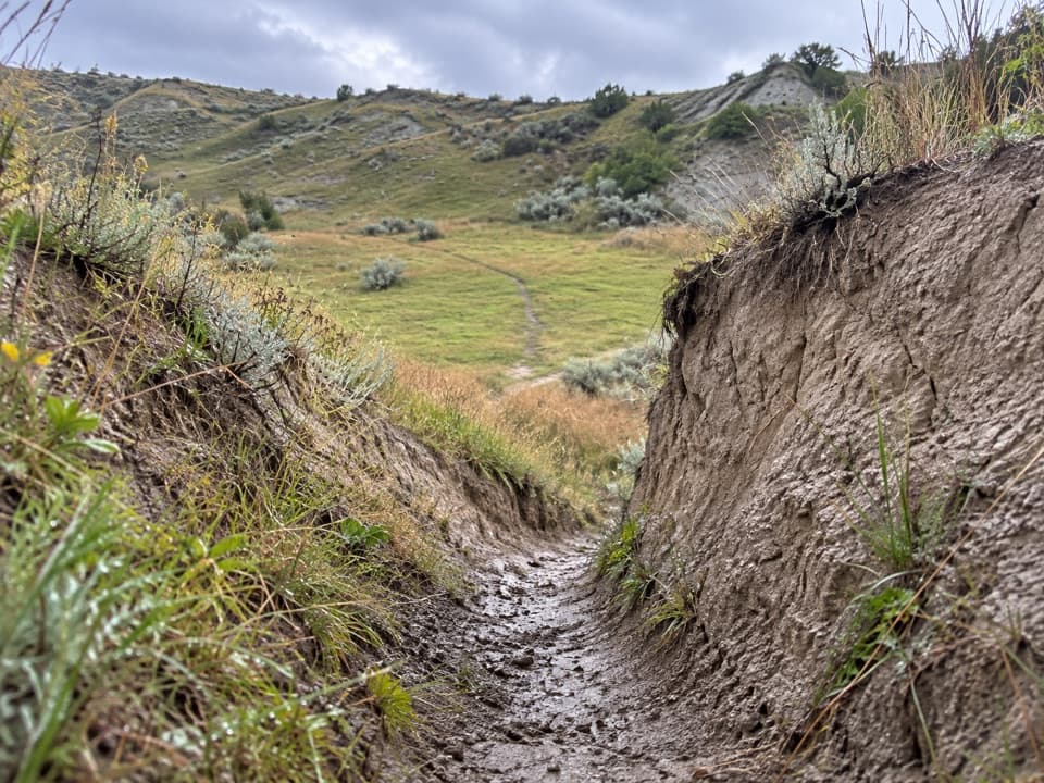 ModerateLower Paddock Creek Trail3.6 mi · 2 hr · 0.6 mi awayWalk through a prairie-dog town and follow Paddock Creek upstream.
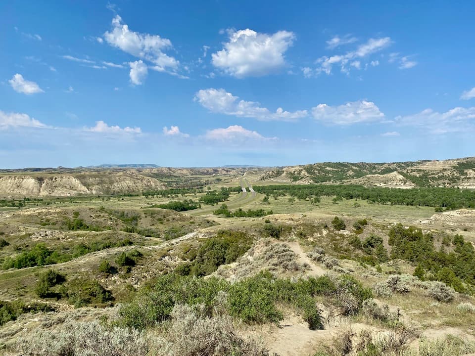 EasySkyline Vista Trail0.3 mi · 10 min · 2.1 mi awayA short paved walk to a seated badlands overlook.
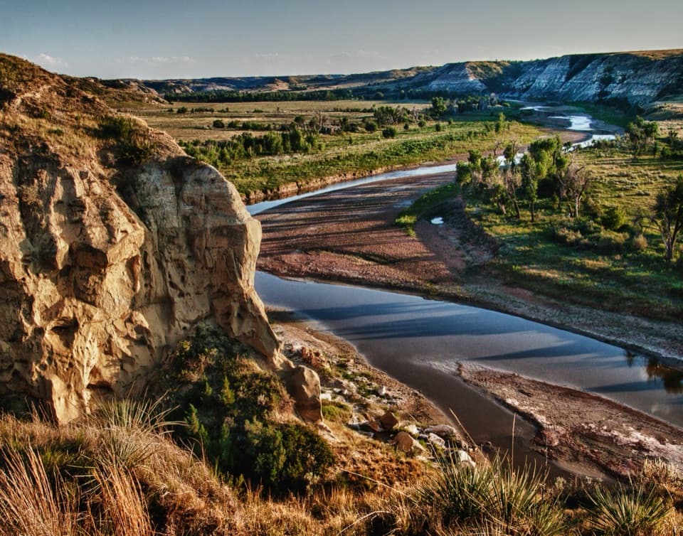 ModerateWind Canyon Trail0.5 mi · 24 min · 2.2 mi awayA quick rim loop for a big Little Missouri River view
 ModerateMaah Daah Hey Trail — South Unit8.4 mi · 4.5 hr · 3 mi awayA one-way crossing through the South Unit's Big Plateau Wilderness.
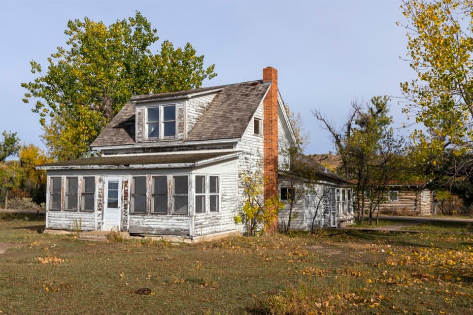 Sight · 0.1 mi awayPeaceful Valley RanchA ranch turned dude ranch, then the South Unit's first headquarters.
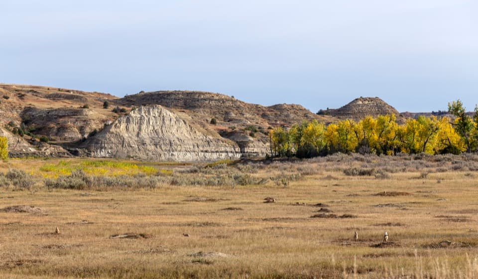 Scenic pullout · 0.5 mi awayPrairie Dog Colony PulloffA quick stop to look for black-tailed prairie dogs.
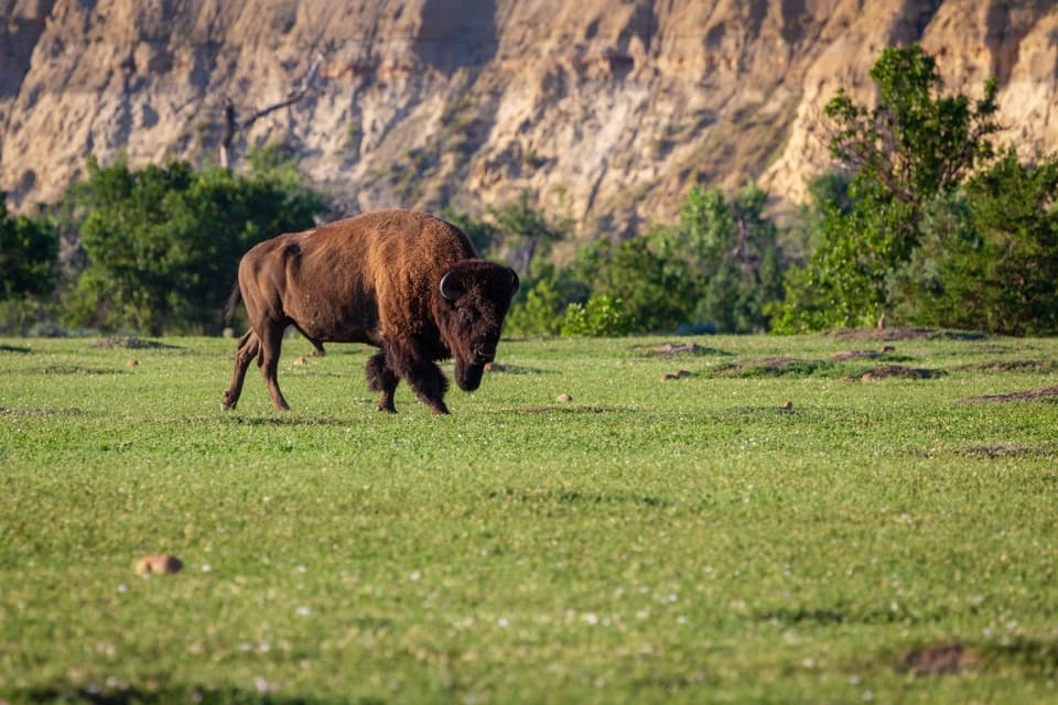 Sight · 1.4 mi awayBeef Corral BottomA prairie-dog town and river valley in one quick South Unit stop.
 Campground · 1.5 mi awayCottonwood CampgroundA riverside base where bison may pass through camp.
 Scenic pullout · 2 mi awayJohnson's Plateau Roadside PulloffAn easy scenic-drive stop for watching prairie dogs at work.
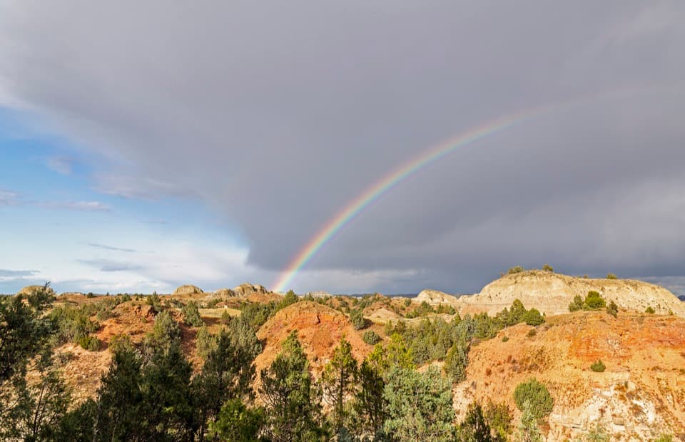 Sight · 2.1 mi awayScoria Point OverlookAn easy first look at the South Unit's red badlands.Sight · 2.2 mi awayWind CanyonAn open river-and-badlands view comes after a very short climb.
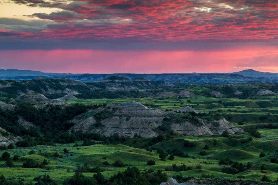 Sight · 2.2 mi awaySkyline VistaA quick paved walk to a broad Little Missouri badlands view.
Parkwolf’s Theodore Roosevelt ranking

The audio tour guide for the drive, plus offline maps, trails, and wildlife heatmaps for when the signal drops.