Buck Hill Trail in Theodore Roosevelt National Park

#7 of 38 trails in Theodore Roosevelt

Theodore Roosevelt National Park, ND

Buck Hill Trail

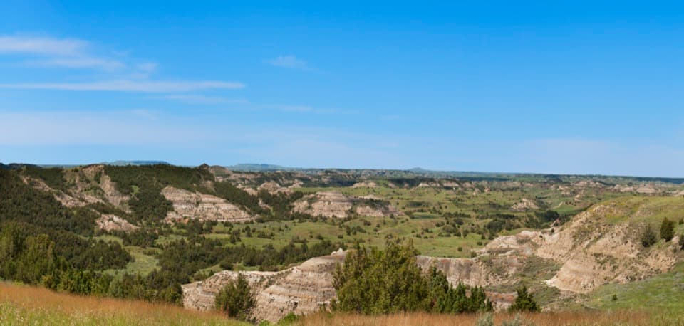
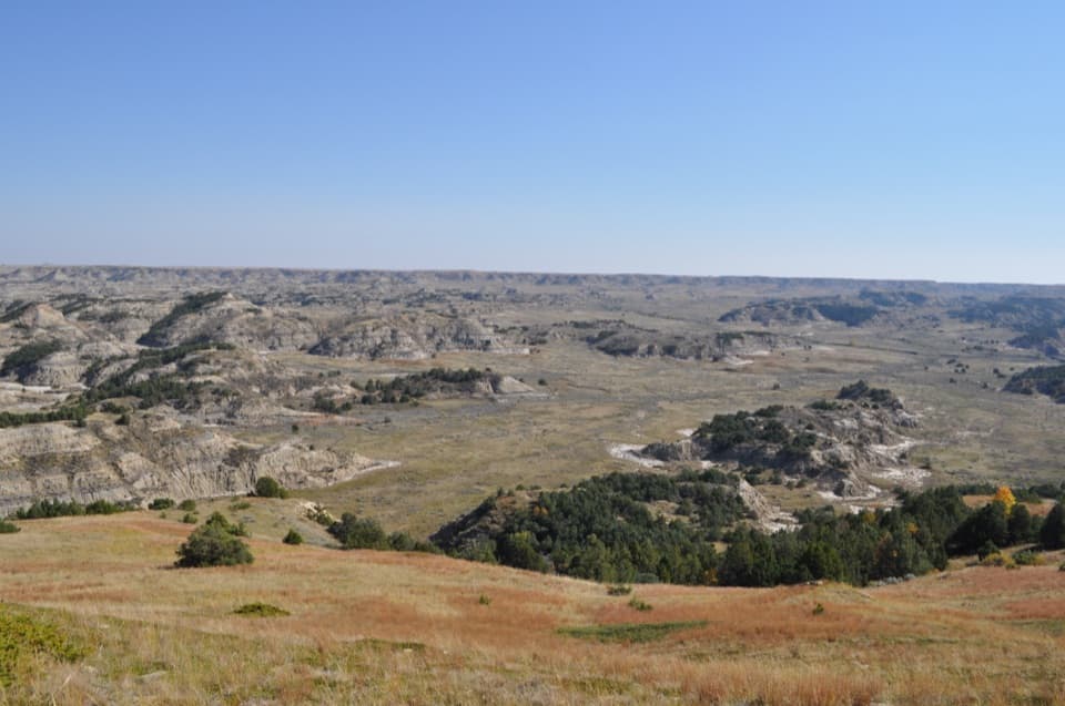
A short, steep climb opens the South Unit’s broad Badlands view.

Photo: National Park Service
Length
0.4mi
Time
20min
Elev. change
46ft
Difficulty
Moderate
  • No dogs
  • High point 2,838 ft

Hear the audio tour

Buck Hill: Ripple Marks at the Summit

Overview

About Buck Hill Trail

Why go

  • A broad Badlands panorama after a short climb.

Heads up

  • Steep steps and uneven dirt make the brief climb feel harder than its mileage.

Map & elevation

The route

Loading the Theodore Roosevelt map
Full map
Elevation2,792–2,838 ft
TrailheadBuck Hill trailhead at the spur-road roundabout46.92655, -103.38951
Keep this map with you offline in the Parkwolf app

Plan your hike

Before you go

Parking

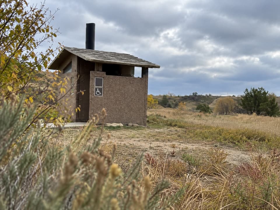
Use the small roundabout lot at the end of the one-mile Buck Hill spur road off the South Unit Scenic Loop Drive, about 18 miles into the unit; this is the trailhead. A separate restroom and pullout are marked near scenic-drive mile marker 19. Park entrance fee may apply.


Safety

The route is steep, with steps, uneven footing and steep edges. NPS warns it can be slippery and dangerous in inclement weather. Pets are prohibited; leashed service animals are allowed.

2 active Theodore Roosevelt alerts

  • ClosureRidgeline Nature Trail inaccessibleDo not plan to use the South Unit’s Ridgeline Nature Trail; it is currently inaccessible because of a road collapse. - The trail is 0.6 mile long.Official details
  • InfoChanged access route to Petrified Forest trailheadUse the approved legal route from I-94 Exit 10 to reach the Petrified Forest trailhead; follow the clearly marked posts.Official details
Theodore Roosevelt alerts
A park ranger sits on a dash-mounted phone, talking, as Parkwolf’s Tour Guide plays “Army Cutworm Moths: A Grizzly Bear Buffet” on Grand Loop Road below Dunraven Pass in Yellowstone
Parkwolf Tour GuideThe highest, rockiest slopes around here are a summer buffet for grizzly bears.

Theodore Roosevelt Tour Guide

Your drive to Buck Hill Trail, narrated.

Parkwolf is a GPS audio tour guide for Theodore Roosevelt National Park. As you drive, it chimes in with what’s ahead: hidden gems, upcoming stops, history, geology, and wildlife, right through your car’s speakers.

Recorded for this trailhead

Buck Hill: Ripple Marks at the Summit
0:00 / 0:23
“You're approaching Buck Hill, where a short climb gives you a full-circle badlands view. Allow fifteen to thirty minutes for the steep walk up and back, with steps and uneven dirt near the top.”

Plays as you drive up to this trailhead in the Parkwolf Theodore Roosevelt Tour Guide.

More stories near here in the app

  • Coal Vein Trail: The Ground Above the Fire
  • Chorus Frogs at Coal Vein
  • Talkington Trailhead: A Half-Day Walk
  • A View Through Our Galaxy
  • 45 audio storiesacross Theodore Roosevelt’s roads, triggered by GPS as you drive
  • Wildlife heatmapsfor Bison, Wild Horse, Wapiti, and 13 more
  • Works offlinemaps, 38 trails, 35 places, and audio download before you lose signal
  • CarPlay readysimple controls built for the drive
★★★★★
“Fantastic app with many points of information… It’s great to just turn on while you’re driving and it gives you an audio tour of the national Park. We love it!!!!”
JMJamesApp Store review
Download Parkwolf on the App StoreGet Parkwolf on Google Play

4.7 from 8,600+ ratings

Trail guide

Hiking Buck Hill Trail

A short climb with a wide payoffBuck Hill Trail is a 0.

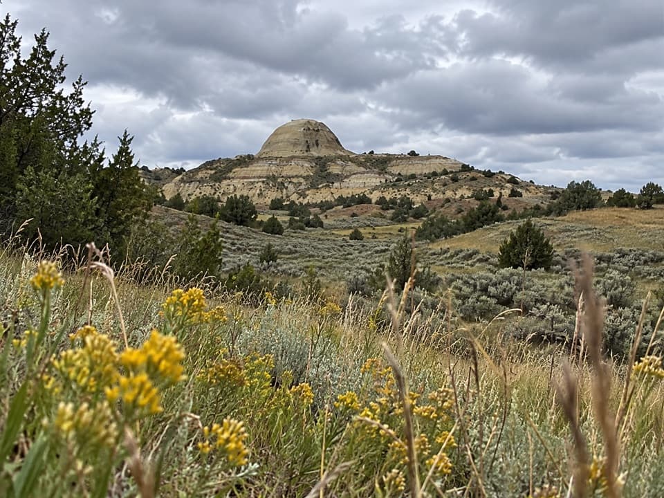
Buck Hill Trail is a 0.4-mile out-and-back from the roundabout at the end of the spur road in Theodore Roosevelt’s South Unit. A paved path climbs to steps, then a dirt track reaches the open, rocky summit at 2,855 feet. Add it to a Scenic Loop Drive day when you want a brief climb for a big view; allow 15 to 30 minutes. It is short, but steep enough to feel like a hike rather than a flat roadside overlook.

The route underfootThe main path leaves the roundabout on pavement, climbs a short flight of steps and finishes on…

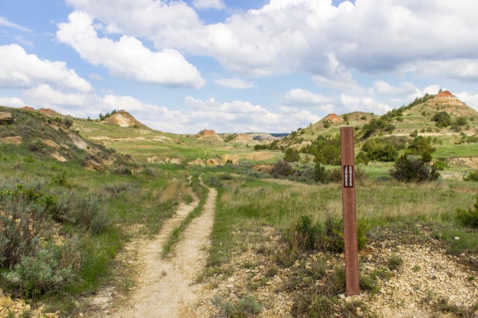
The main path leaves the roundabout on pavement, climbs a short flight of steps and finishes on uneven dirt. The mapped route ends at the summit turnaround and draws the uphill line once; the 0.4 miles includes retracing it to the lot. A separate named dirt path continues farther along the hill, so walking beyond the mapped endpoint adds distance. Take care on the way down, especially in bad weather, when the park warns this trail can be slippery.

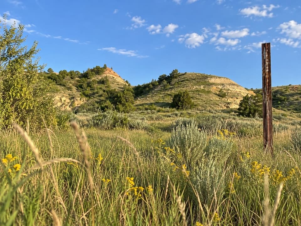
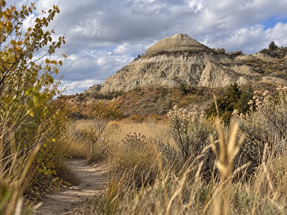
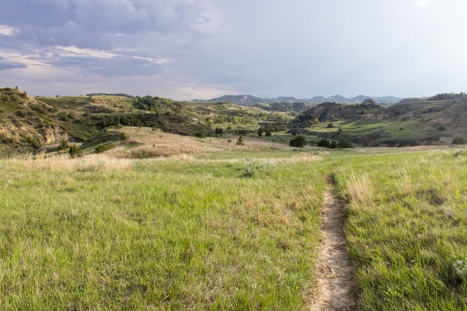
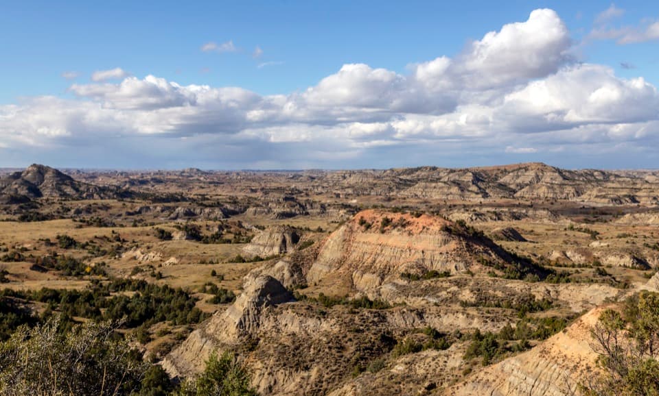
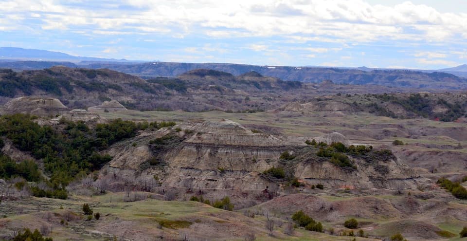
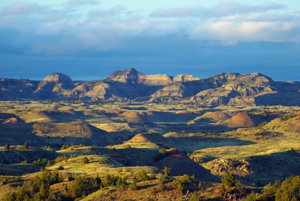
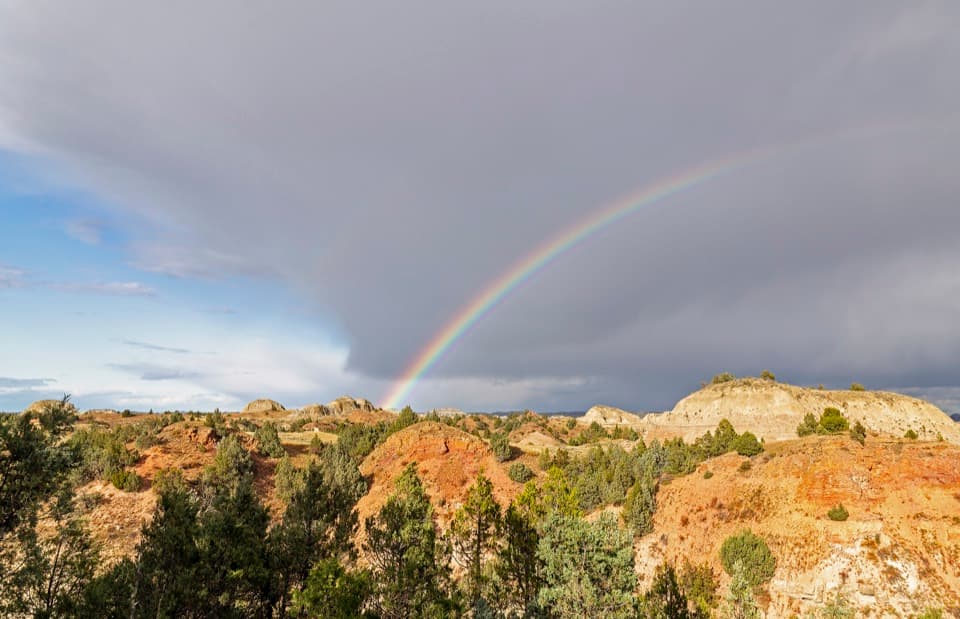
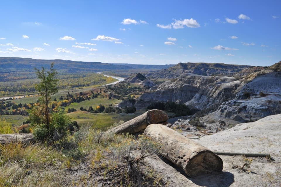
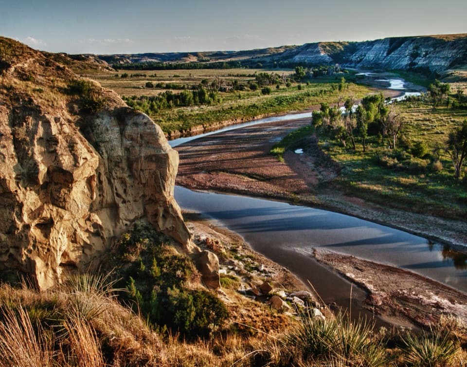
Take in the viewFrom the open top, eroded buttes and shrub-lined valleys spread out in several directions.

From the open top, eroded buttes and shrub-lined valleys spread out in several directions. For a photo, include a strip of pale rock or dry grass in the foreground, then let the Badlands fill the frame; it gives the broad horizon a sense of scale.

Access and rulesFollow the South Unit Scenic Loop Drive about 18 miles into the unit, then take the one-mile…

Follow the South Unit Scenic Loop Drive about 18 miles into the unit, then take the one-mile Buck Hill spur to the small roundabout, which is the trailhead. A restroom and pullout are marked near mile 19 on the main scenic drive, separate from the hilltop lot. There is no trail reservation or activity fee, though the park entrance fee may apply. Pets are prohibited; leashed service animals are allowed.
Wildlife

Wildlife in Theodore Roosevelt

All Theodore Roosevelt wildlife maps

Sighting maps show where each species has been reported across Theodore Roosevelt. Wildlife moves, so no sighting is guaranteed.

Keep exploring

Near Buck Hill Trail

See it all on the map

Trails that start nearby

Places near the trailhead

Parkwolf’s Theodore Roosevelt ranking

Top-rated trails in Theodore Roosevelt

All 38 trails
  1. 1Caprock Coulee TrailModerate · 4.3 mi
  2. 2Wind Canyon TrailModerate · 0.5 mi
  3. 3Petrified Forest LoopModerate · 10.3 mi
  4. 4Painted Canyon Nature TrailModerate · 0.9 mi
  5. 5Big Plateau and Ekblom Trail LoopModerate · 5.4 mi
  6. 6Boicourt Overlook TrailEasy · 0.8 mi

Take Parkwolf to Theodore Roosevelt.

The audio tour guide for the drive, plus offline maps, trails, and wildlife heatmaps for when the signal drops.

4.7 from 8,600+ ratings

Download Parkwolf on the App StoreGet Parkwolf on Google Play