Facilities at the gate
Public toilets are provided at the entrance. Potable water at this site has not been confirmed, so check current facility information before relying on a refill here.

Entrance station · Torres del Paine National Park
The practical eastern checkpoint before the park drive begins.
Map
Plan your stop

The highest, rockiest slopes around here are a summer buffet for grizzly bears.
Torres del Paine Tour Guide
Parkwolf is a GPS audio tour guide for Torres del Paine National Park. As you drive, it chimes in with what’s ahead: hidden gems, upcoming stops, history, geology, and wildlife, right through your car’s speakers.
See the Torres del Paine audio tourRecorded for this place
Portería Laguna Amarga: The Entrance“You're approaching Portería Laguna Amarga, where staff control entry to the park. The lagoon with the same name is a separate stop, about three and a half kilometres east of the gate.”
Plays as you drive up to Portería Laguna Amarga in the Parkwolf Torres del Paine Tour Guide.
More stories near here in the app
“Fantastic app with many points of information… It’s great to just turn on while you’re driving and it gives you an audio tour of the national Park. We love it!!!!”


Guide
This is the eastern entrance station on the road into Torres del Paine, where park staff control visitor access. Plan to pause here for the entry checkpoint before continuing along the park road. The station sits about 3.6 km west of Laguna Amarga lake, a separate destination with a similar map name.
Opening hours and entry procedures can change. Check the current requirements shortly before your visit, then allow time for the stop as you start the park drive.
Wildlife
 113 sightingsPumaMost seen around 7 PMSighting map
 146 sightingsAndean CondorMost seen around noonSighting map
 381 sightingsGuanacoMost seen around 7 AMSighting map
 53 sightingsHuemulMost seen around 7 AMSighting map
 36 sightingsLesser RheaMost seen around 6 PMSighting map
 11 sightingsWild HorseMost seen around 7 AMSighting map
Sighting maps show where each species has been reported across Torres del Paine. Wildlife moves, so no sighting is guaranteed.
Keep exploring
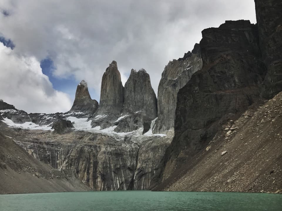 ChallengingBase Las Torres Trail20.1 km · 8 hr · 4.7 km awayA full-day climb to the lagoon beneath three granite towers.
 ModerateLaguna Inge Trail9.2 km · 2.3 hr · 4.8 km awayA short W route to a small lagoon and a Nordenskjöld view.
 ChallengingO Circuit (Circuito Macizo Paine)93 km · 1.8 days · 4.9 km awayEight-day Paine massif loop over John Gardner Pass to Grey Glacier.
 ChallengingW Trek (Circuito W)75.7 km · 1.3 days · 5.3 km awayThe Towers, French Valley and Grey Glacier, linked on foot.
 ChallengingCerro Paine Trail13.1 km · 9 hr · 5.3 km awayA steep lenga climb to Cerro Paine’s 1,508 m summit
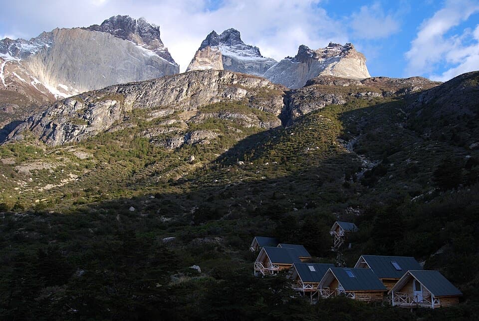 ChallengingSendero a Sector Cuernos23.2 km · 9 hr · 5.3 km awayA long lakeshore walk to the jagged Cuernos peaks.
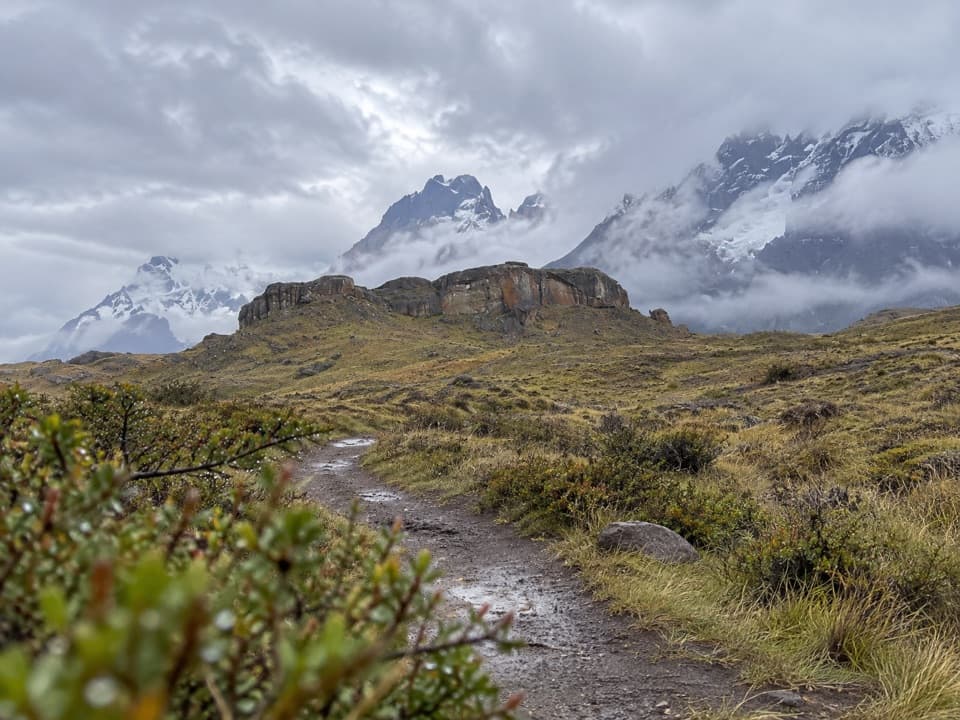 EasySendero Aonikenk6.6 km · 2.5 hr · 5.6 km awayA guided pampa traverse past rock art to Laguna Amarga.
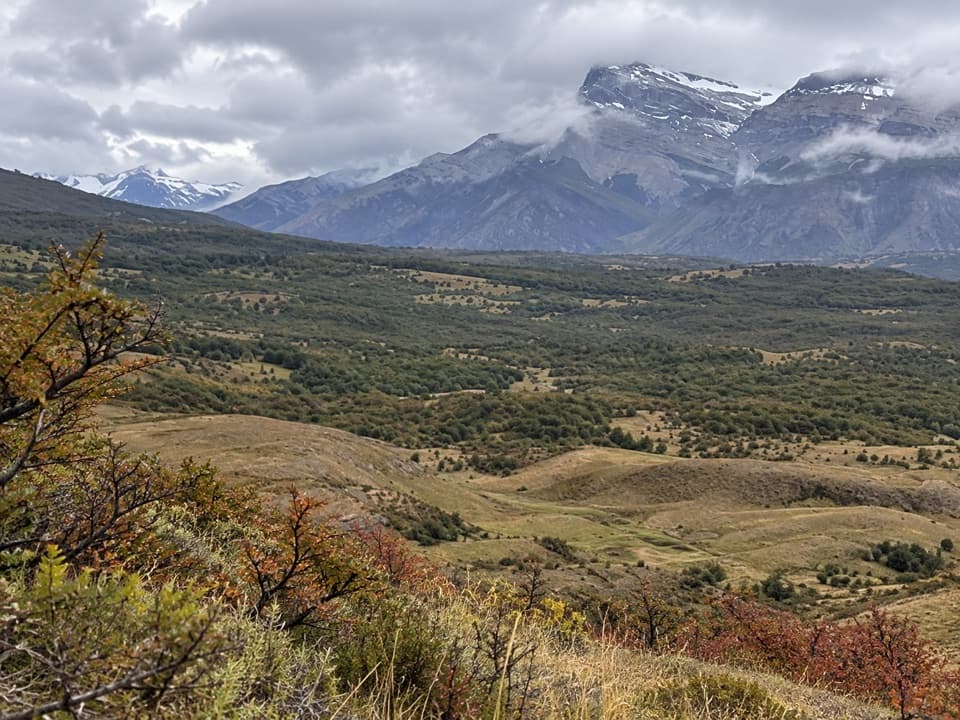 ModerateCañadón Macho–Loma Guanaco Trail7.1 km · 2.7 hr · 6.5 km awayLenga woods, open grassland, and a different view toward the Paine towers.
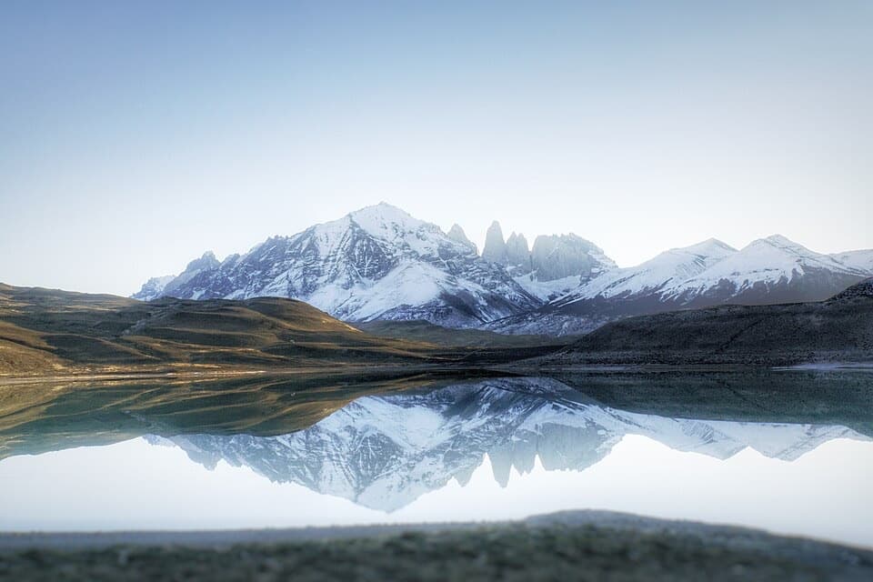 Sight · 4 km awayMirador Laguna AmargaLook for the Torres doubled in a calm, clear lagoon.
 Sight · 4.1 km awayPaine WaterfallWaterfall tiers and the Paine towers share the frame.
 Visitor center · 4.7 km awayCentro de Bienvenida - Reserva Las TorresTrail snacks, last-minute gear, and a check-in at the trailhead.
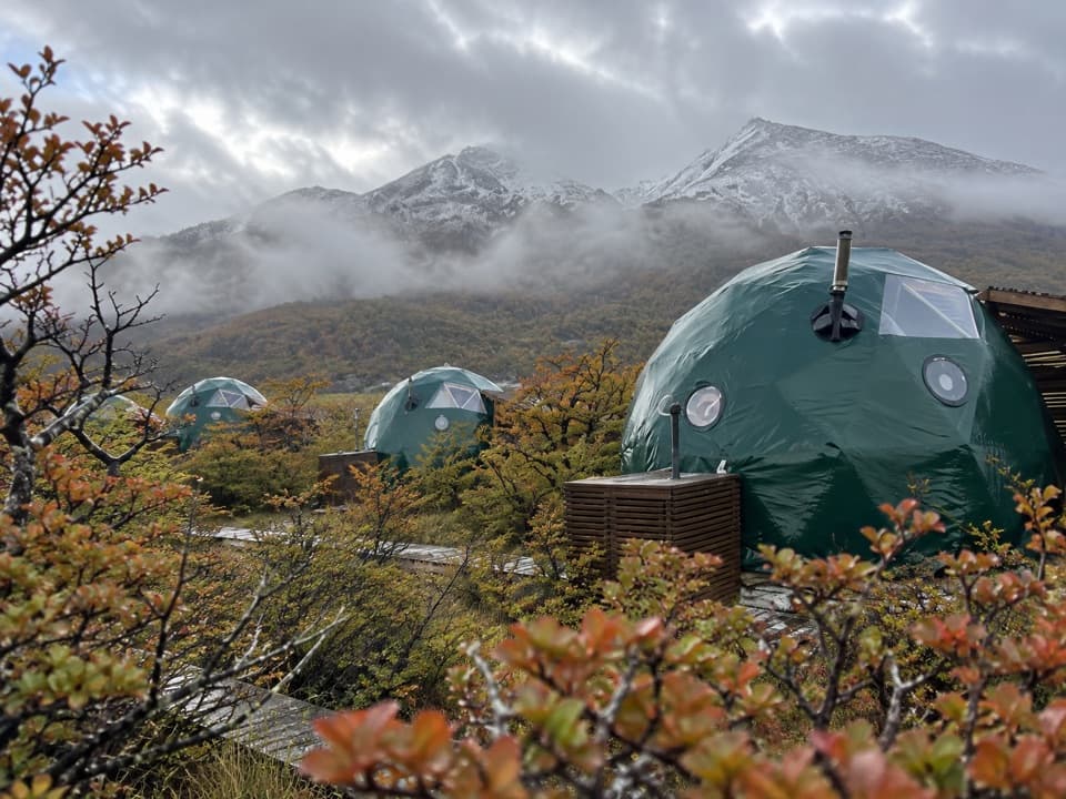 Lodging · 4.8 km awayEcoCamp PatagoniaA dome stay with views of the Paine Towers.
 Campground · 4.9 km awayRefugio y Camping CentralA trek base with refuge beds and several ways to camp.
 Lodging · 5.3 km awayHotel Las TorresWake up at the doorstep of the Base Torres trek.
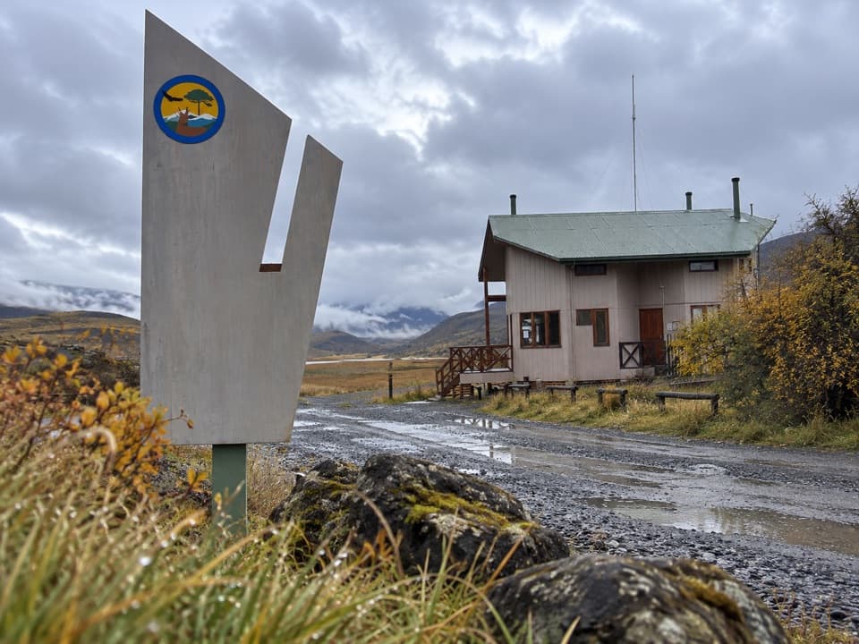 Entrance station · 5.6 km awayPortería SarmientoCONAF’s Y-150 entrance checkpoint, with toilets on site.
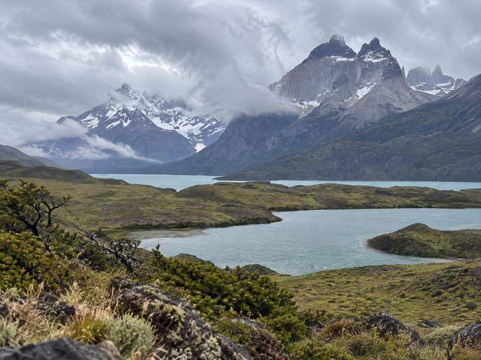 Sight · 7.2 km awayMirador Laguna LargaA short roadside view over a lagoon to the mountains.
Parkwolf’s Torres del Paine ranking

The audio tour guide for the drive, plus offline maps, trails, and wildlife heatmaps for when the signal drops.