Parking
Hotel Las Torres is the named start for the Los Cuernos crossing. Independent day-hiker parking was not verified; confirm access and parking before using it as a standalone trailhead. W hikers should follow their booked itinerary.
Torres del Paine National Park, MA
A long lakeshore walk to the jagged Cuernos peaks.
Overview
Map & elevation
Plan your hike

The highest, rockiest slopes around here are a summer buffet for grizzly bears.
Torres del Paine Tour Guide
Parkwolf is a GPS audio tour guide for Torres del Paine National Park. As you drive, it chimes in with what’s ahead: hidden gems, upcoming stops, history, geology, and wildlife, right through your car’s speakers.
See the Torres del Paine audio tourRecorded for this trailhead
Las Torres: Before the Climb“You're approaching the Las Torres sector, the starting area for the walk to the lake beneath the three granite towers.”
Plays as you drive up to this trailhead in the Parkwolf Torres del Paine Tour Guide.
More stories near here in the app
“Fantastic app with many points of information… It’s great to just turn on while you’re driving and it gives you an audio tour of the national Park. We love it!!!!”


Trail guide
Sendero a Sector Cuernos follows the Hotel Las Torres–Refugio Los Cuernos stretch of the W, then returns along the same north-shore route beside Lago Nordenskjöld. Count 23.2 km (14.4 miles) round trip: 11.6 km each way, with the Cuernos sector below the sharp peaks as your turnaround. It is a long lake walk, not the short Mirador Cuernos stroll from Pudeto.
The park lists the Hotel-to-refuge crossing at 4½ hours one way. The hotel’s guided 23.2 km day outing is listed at 6–8 hours; for a self-paced return, allow closer to nine hours.
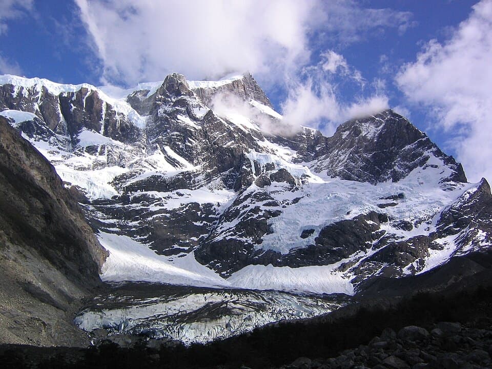
The route runs between Mount Almirante Nieto and the lake. Expect a rocky path rather than a smooth promenade, with streams fed by hanging glaciers cutting across the trail. A hanging bridge over the Arriero River is one of the route’s clearest landmarks. The same shoreline and crossings are waiting on the way back, so this works best when you want a full day of walking rather than a quick viewpoint stop.
Inge Lagoon is a named stop on the route, known for its deep blue water. It makes a good pause between the Hotel Las Torres start and the Cuernos sector; take a moment to look back across the lake before you turn around.
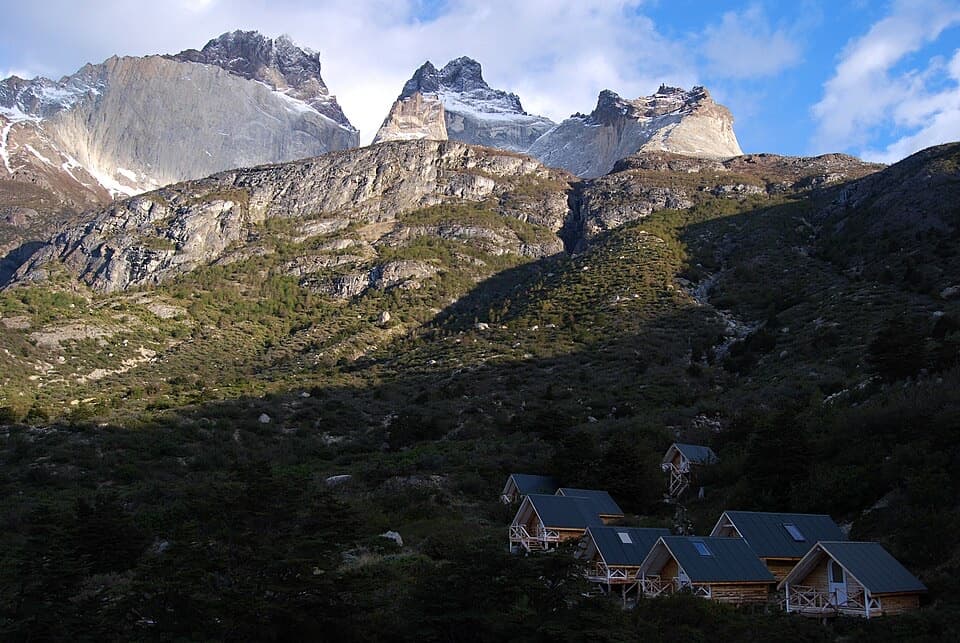
The route reaches the Cuernos sector beneath three jagged peaks. Their pale granite contrasts with darker rock and the deep green treeline. The three peaks rise to about 2,600, 2,400 and 2,200 metres, and a broad granite band cuts across their middle. This is the payoff for the long approach; include the lake and trees in your view to show how the peaks sit above the shore.
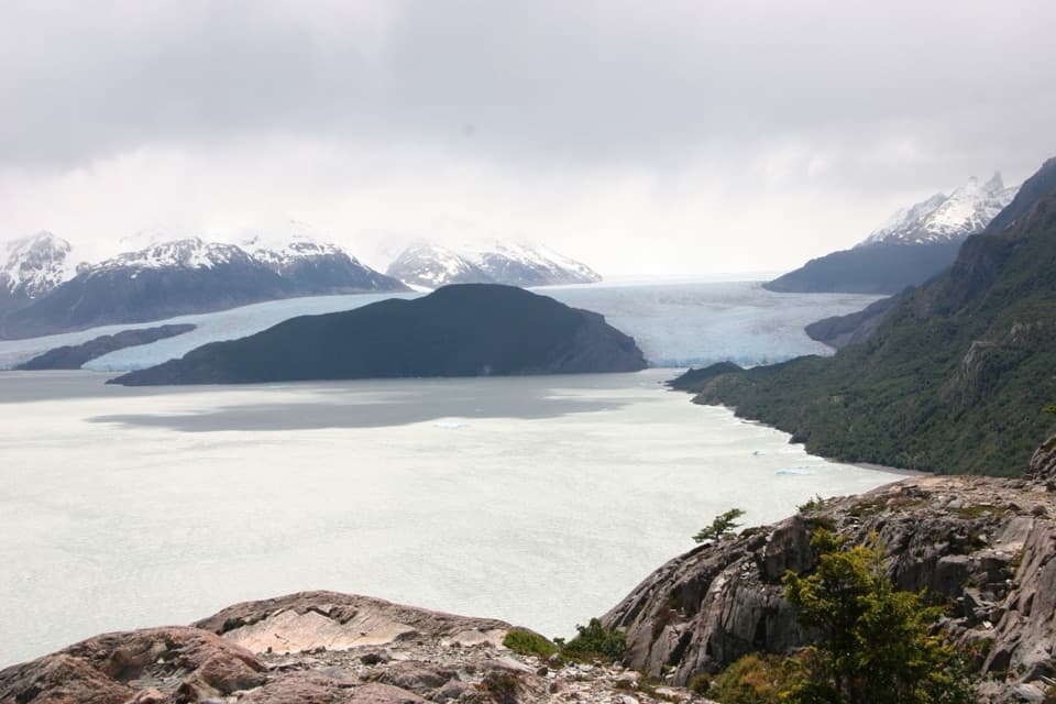
Lago Nordenskjöld is named for Otto Nordenskjöld, the Swedish-Finnish explorer (1869–1928) whose work took him through Chile, Antarctica, Greenland and Peru. The route keeps the lake in view for much of the day, with Mount Almirante Nieto and its hanging glaciers on the other side of the trail.
The park lists this Hotel Las Torres–Los Cuernos connection as part of the W and notes that it crosses private estancia land. The separate guided day outing is listed for Hotel Las Torres guests only, and independent access for a standalone out-and-back is not confirmed. Check current access and booking rules with the park before planning it outside a booked W itinerary. Snow is a listed hazard from May through September, and pets are prohibited in the park.
Wildlife
 113 sightingsPumaMost seen around 7 PMSighting map
 146 sightingsAndean CondorMost seen around noonSighting map
 381 sightingsGuanacoMost seen around 7 AMSighting map
 53 sightingsHuemulMost seen around 7 AMSighting map
 36 sightingsLesser RheaMost seen around 6 PMSighting map
 11 sightingsWild HorseMost seen around 7 AMSighting map
Sighting maps show where each species has been reported across Torres del Paine. Wildlife moves, so no sighting is guaranteed.
Keep exploring
 ChallengingW Trek (Circuito W)75.7 km · 1.3 days · At the trailheadThe Towers, French Valley and Grey Glacier, linked on foot.
 ChallengingCerro Paine Trail13.1 km · 9 hr · At the trailheadA steep lenga climb to Cerro Paine’s 1,508 m summit
 ChallengingO Circuit (Circuito Macizo Paine)93 km · 1.8 days · 0.6 km awayEight-day Paine massif loop over John Gardner Pass to Grey Glacier.
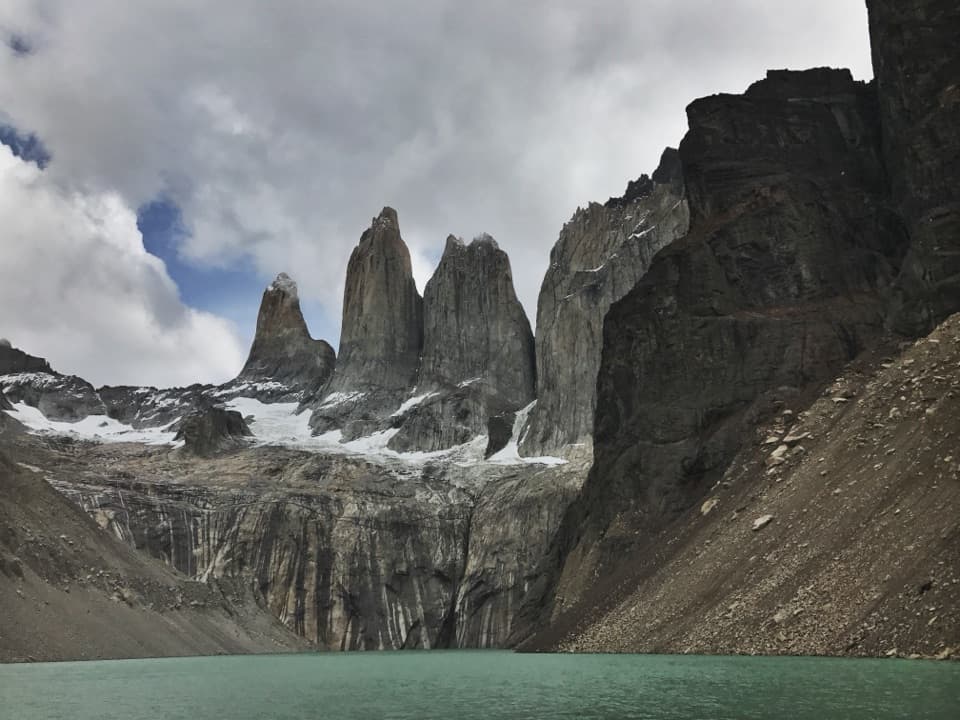 ChallengingBase Las Torres Trail20.1 km · 8 hr · 1.2 km awayA full-day climb to the lagoon beneath three granite towers.
 ModerateLaguna Inge Trail9.2 km · 2.3 hr · 1.4 km awayA short W route to a small lagoon and a Nordenskjöld view.
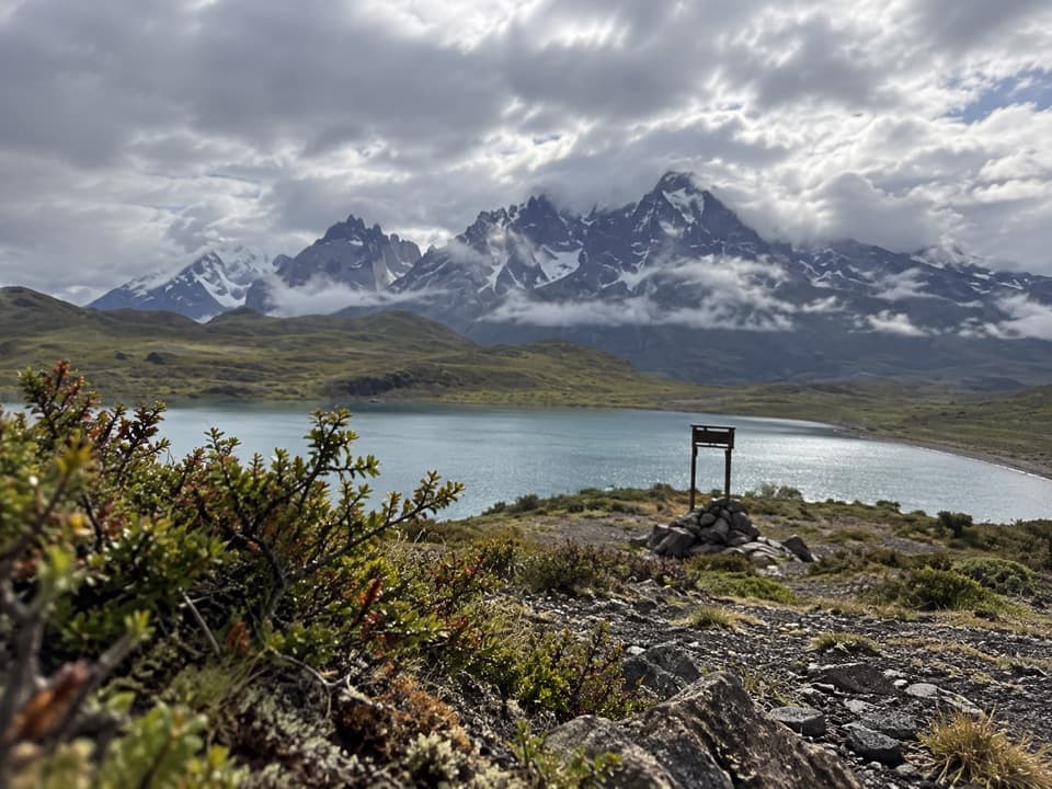 EasyLaguna Larga to Mirador Nordenskjöld3.5 km · 1.5 hr · 5.6 km awayA guided walk links Laguna Larga with broad Paine views.
 EasyLago Sarmiento – Sendero de los Trombolitos4.9 km · 2.5 hr · 8.8 km awayWhite thrombolites make this quiet Sarmiento shore unusual.
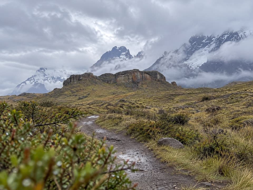 EasySendero Aonikenk6.6 km · 2.5 hr · 9.3 km awayA guided pampa traverse past rock art to Laguna Amarga.
 Lodging · At the trailheadHotel Las TorresWake up at the doorstep of the Base Torres trek.
 Campground · 1 km awayRefugio y Camping CentralA trek base with refuge beds and several ways to camp.
 Visitor center · 1.2 km awayCentro de Bienvenida - Reserva Las TorresTrail snacks, last-minute gear, and a check-in at the trailhead.
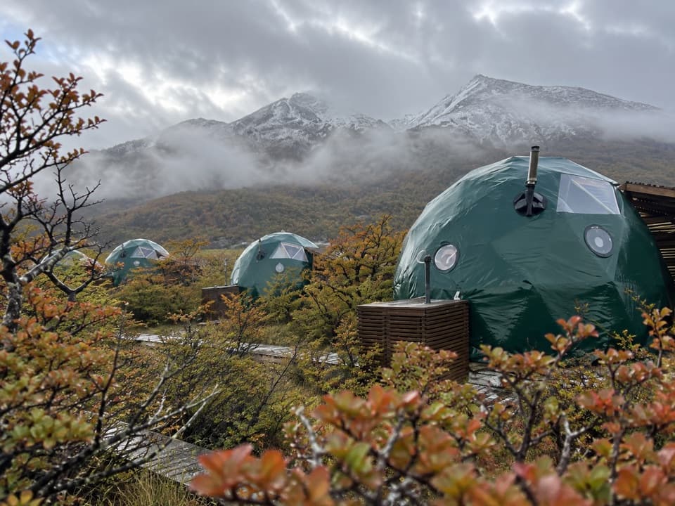 Lodging · 1.4 km awayEcoCamp PatagoniaA dome stay with views of the Paine Towers.
 Campground · 3.1 km awayRefugio y Camping ChilenoAn overnight stop for an early start to Base Torres.
 Entrance station · 5.3 km awayPortería Laguna AmargaThe practical eastern checkpoint before the park drive begins.
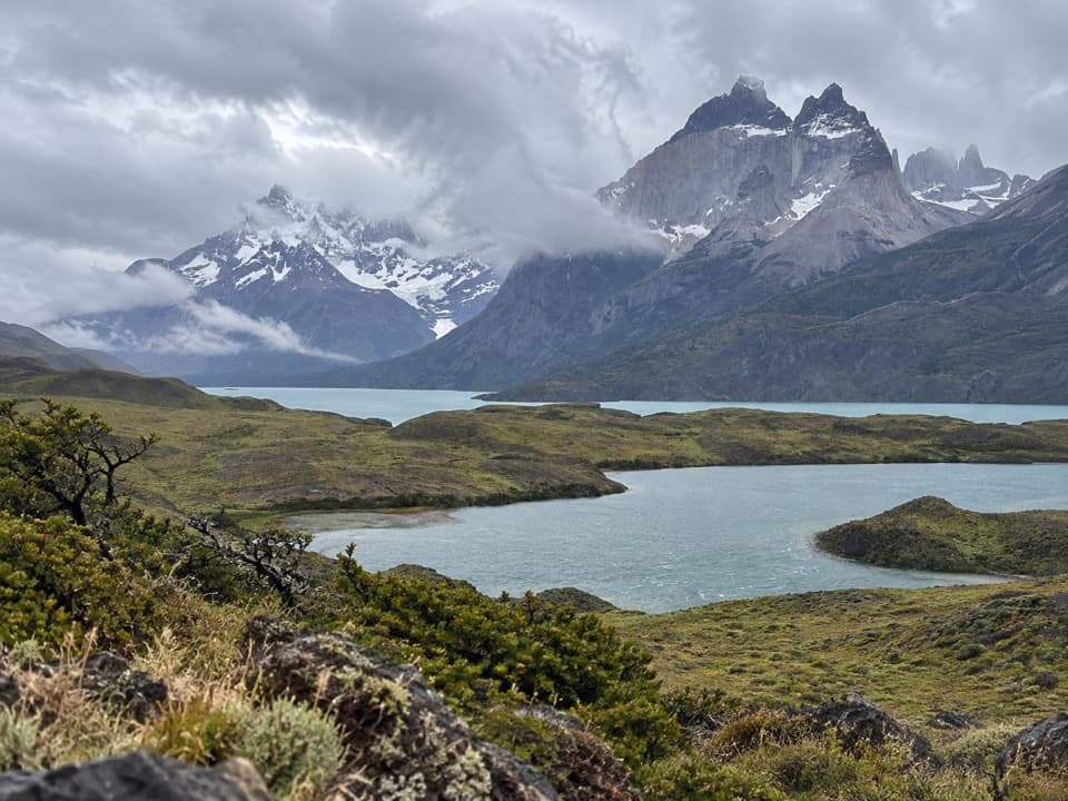 Sight · 5.6 km awayMirador Laguna LargaA short roadside view over a lagoon to the mountains.
 Sight · 6.2 km awayMirador Base TorresA full-day hike ends beneath Patagonia’s three granite spires.
Parkwolf’s Torres del Paine ranking

The audio tour guide for the drive, plus offline maps, trails, and wildlife heatmaps for when the signal drops.