Parking
The recorded route starts at Hotel Las Torres. Parking for independent hikers was not confirmed; arrange access and parking with the landholder before going.

#10 of 35 trails in Torres del Paine
Torres del Paine National Park, MA
A steep lenga climb to Cerro Paine’s 1,508 m summit
Overview
Map & elevation
Plan your hike

The highest, rockiest slopes around here are a summer buffet for grizzly bears.
Torres del Paine Tour Guide
Parkwolf is a GPS audio tour guide for Torres del Paine National Park. As you drive, it chimes in with what’s ahead: hidden gems, upcoming stops, history, geology, and wildlife, right through your car’s speakers.
See the Torres del Paine audio tourRecorded for this trailhead
Las Torres: Before the Climb“You're approaching the Las Torres sector, the starting area for the walk to the lake beneath the three granite towers.”
Plays as you drive up to this trailhead in the Parkwolf Torres del Paine Tour Guide.
More stories near here in the app
“Fantastic app with many points of information… It’s great to just turn on while you’re driving and it gives you an audio tour of the national Park. We love it!!!!”


Trail guide
Cerro Paine Trail is an 8.1-mile (13.1 km) out-and-back from Hotel Las Torres to the 1,508 m summit, climbing through lenga forest to the D’Agostini viewpoint and a rocky upper slope. Expect about 1,350 m of climbing and allow eight to ten hours for the full day. The climb is hard and sustained; the long descent is rough on tired legs. One itinerary starts at the Welcome Center and reports 16 km. This record uses the Hotel Las Torres start shown by the recorded summit track, so those distances describe different starting points.
This route crosses Estancia Cerro Paine, private land, and the park’s published authorized-trail list does not name this ascent. Public access and whether a guide is required could not be confirmed. Arrange permission with the landholder and ask about guide requirements before setting out; do not assume park entry grants access to the estancia. Published itineraries describe an October–April season, depending on conditions, but that is not a current access confirmation. Independent parking arrangements at the hotel are also unverified.
The climb starts steeply on Cerro Paine’s western hillside, then continues through lenga forest. This is the greener part of the route: flowers, mushrooms and orchids have been reported among the trees, and birds may be seen. Small PVC posts mark the ascent, but there is no separate trailhead sign. The route is not a straightforward signed park walk, so get permission and understand the route before you rely on those markers.
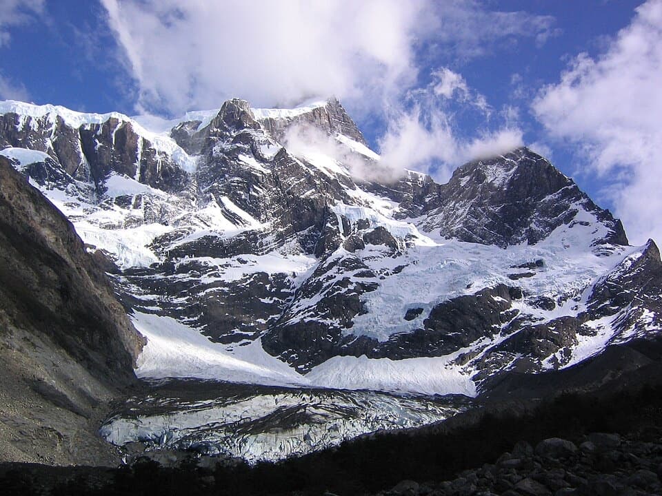
Near the tree line the forest thins, the grade steepens, and the tread turns rocky. The upper mountain is open and snow may be present. The route climbs alongside Almirante Nieto and its glacier, with the Torres and the lake country opening into view as you gain height. Take extra care on the way down: this is a long, steep return over the same rough ground, not a quick stroll from the lookout.
The D’Agostini viewpoint comes after the forest, roughly three hours into the climb; the summit is about another hour beyond it. From the viewpoint, Ascencio Valley drops away below, with hikers on the Base Torres route appearing small on the valley floor. For a photo that shows the scale, keep some of the rocky trail or a person in the foreground and include the valley behind.
The summit is a rocky ridge rather than a built platform, and it has no marked summit post. Its broad view takes in lagoons, forests, glaciers, surrounding peaks and the Towers. Stay with the established tread as you approach the ridge; the path itself is the useful guide on the final rough section.
The summit rewards hikers who are comfortable with a very steep, high-effort mountain route and have permission to enter the estancia. No on-route water, food or toilet stop was confirmed, so do not plan on resupply during the climb. Pets are prohibited in the park. CONAF’s park rules also require hiking in daylight and in company. If access cannot be arranged, choose a trail on the authorized public route network instead.
Wildlife
 113 sightingsPumaMost seen around 7 PMSighting map
 146 sightingsAndean CondorMost seen around noonSighting map
 381 sightingsGuanacoMost seen around 7 AMSighting map
 53 sightingsHuemulMost seen around 7 AMSighting map
 36 sightingsLesser RheaMost seen around 6 PMSighting map
 11 sightingsWild HorseMost seen around 7 AMSighting map
Sighting maps show where each species has been reported across Torres del Paine. Wildlife moves, so no sighting is guaranteed.
Keep exploring
 ChallengingW Trek (Circuito W)75.7 km · 1.3 days · At the trailheadThe Towers, French Valley and Grey Glacier, linked on foot.
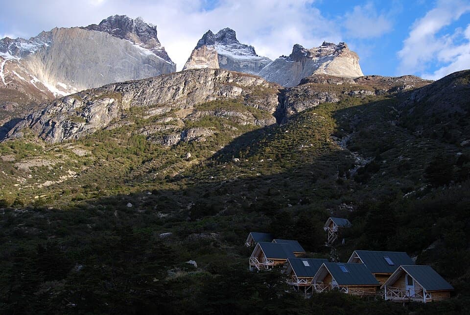 ChallengingSendero a Sector Cuernos23.2 km · 9 hr · At the trailheadA long lakeshore walk to the jagged Cuernos peaks.
 ChallengingO Circuit (Circuito Macizo Paine)93 km · 1.8 days · 0.6 km awayEight-day Paine massif loop over John Gardner Pass to Grey Glacier.
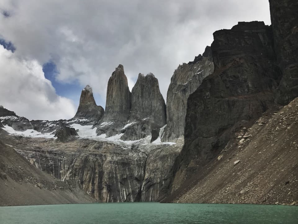 ChallengingBase Las Torres Trail20.1 km · 8 hr · 1.2 km awayA full-day climb to the lagoon beneath three granite towers.
 ModerateLaguna Inge Trail9.2 km · 2.3 hr · 1.4 km awayA short W route to a small lagoon and a Nordenskjöld view.
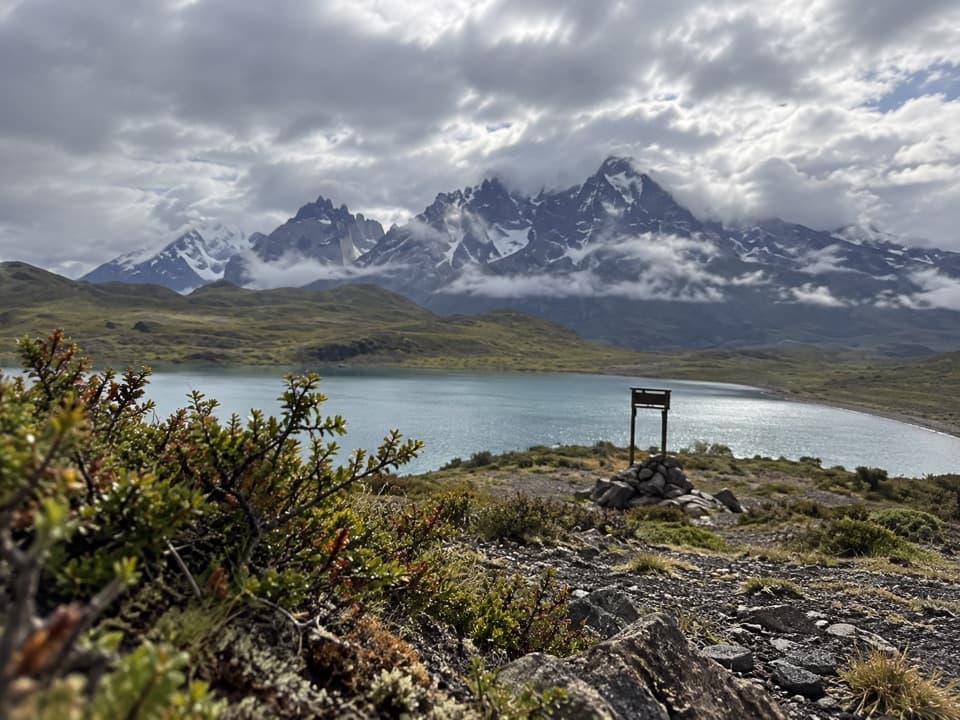 EasyLaguna Larga to Mirador Nordenskjöld3.5 km · 1.5 hr · 5.6 km awayA guided walk links Laguna Larga with broad Paine views.
 EasyLago Sarmiento – Sendero de los Trombolitos4.9 km · 2.5 hr · 8.8 km awayWhite thrombolites make this quiet Sarmiento shore unusual.
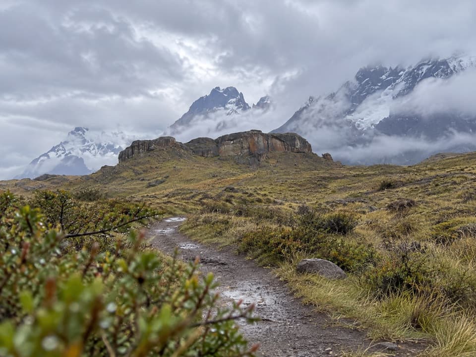 EasySendero Aonikenk6.6 km · 2.5 hr · 9.3 km awayA guided pampa traverse past rock art to Laguna Amarga.
 Lodging · At the trailheadHotel Las TorresWake up at the doorstep of the Base Torres trek.
 Campground · 1 km awayRefugio y Camping CentralA trek base with refuge beds and several ways to camp.
 Visitor center · 1.2 km awayCentro de Bienvenida - Reserva Las TorresTrail snacks, last-minute gear, and a check-in at the trailhead.
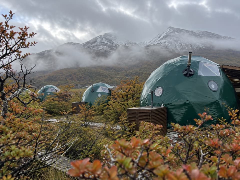 Lodging · 1.4 km awayEcoCamp PatagoniaA dome stay with views of the Paine Towers.
 Campground · 3.1 km awayRefugio y Camping ChilenoAn overnight stop for an early start to Base Torres.
 Entrance station · 5.3 km awayPortería Laguna AmargaThe practical eastern checkpoint before the park drive begins.
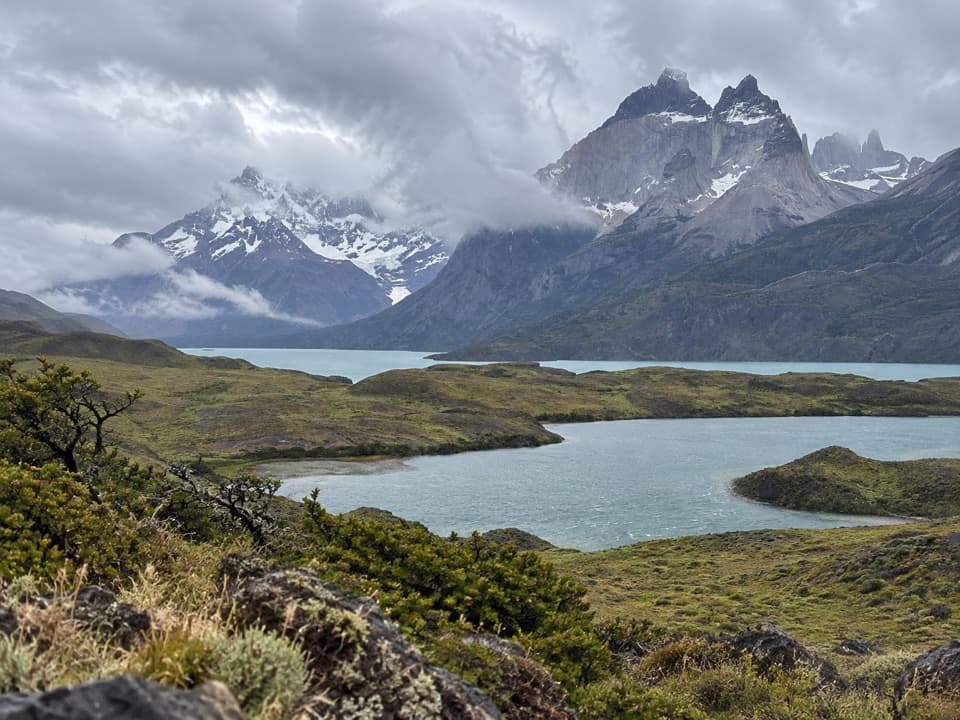 Sight · 5.6 km awayMirador Laguna LargaA short roadside view over a lagoon to the mountains.
 Sight · 6.2 km awayMirador Base TorresA full-day hike ends beneath Patagonia’s three granite spires.
Parkwolf’s Torres del Paine ranking

The audio tour guide for the drive, plus offline maps, trails, and wildlife heatmaps for when the signal drops.