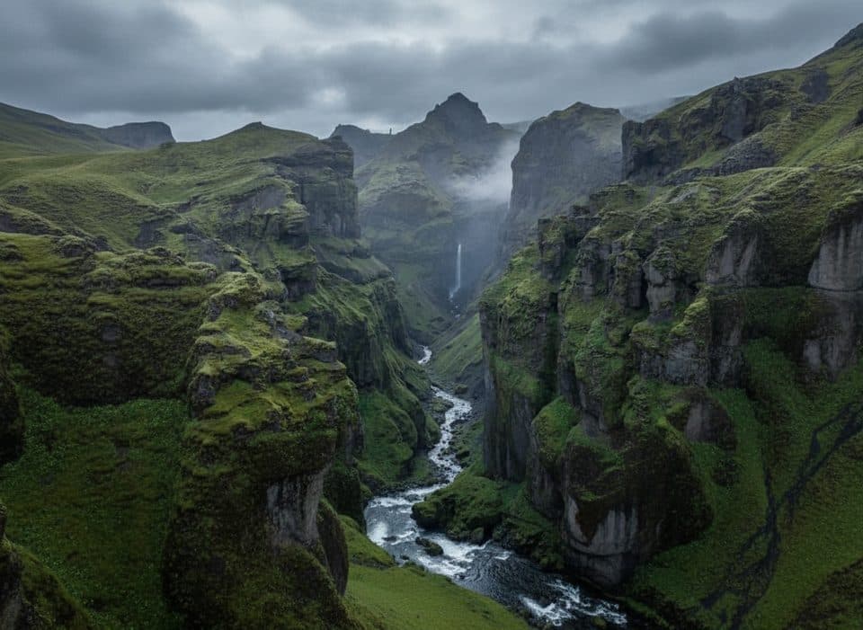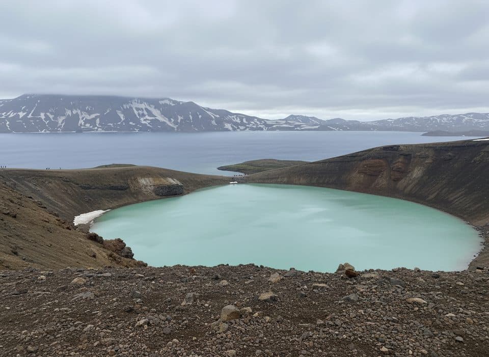
Askja Caldera in Vatnajökull National Park

#9 of 50 sights in Vatnajökull

Sight · Vatnajökull National Park

Askja Caldera

A remote caldera of crater lakes, lunar lava, and real adventure

Type
Sight
Nearest trail
6.3 km
  • Parking
  • Restrooms
  • Trailhead
  • Scenic viewpoint
Parkwolf audio tour102 stories across Vatnajökull’s roads

Overview

About Askja Caldera

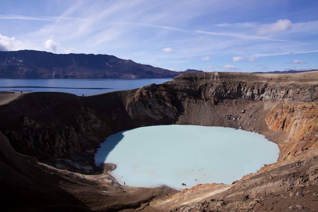
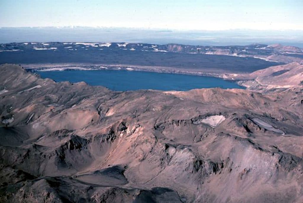
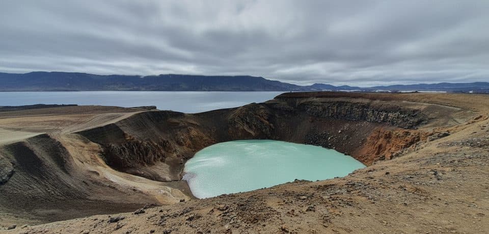
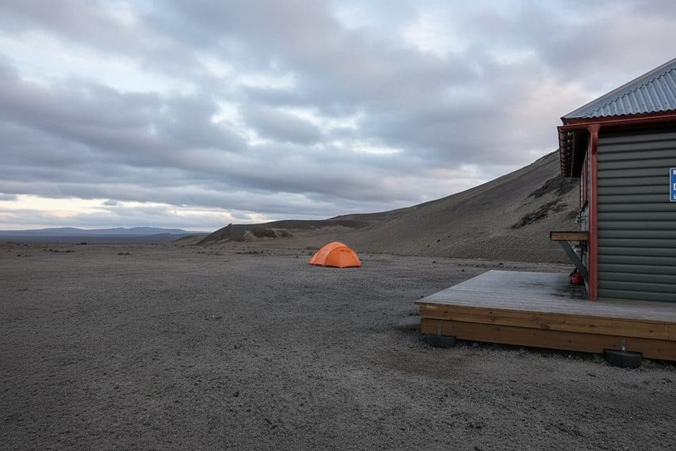
Askja is a remote volcanic caldera complex tucked inside the Dyngjufjöll mountains. Think stark, otherworldly terrain: black lava, pale pumice, a vast crater lake (Öskjuvatn), and the smaller, turquoise explosion crater Víti. The floor sits around 1,100 m, ringed by higher rims—wide-open, high-elevation Highlands where weather and conditions change fast.

Geologically, Askja is a set of nested calderas formed by collapse and later eruptions. Its 19th‑century blast (1875) was powerful enough to blanket East Iceland in ash and push fallout across mainland Europe. More recently, a 1961 eruption laid the Vikrahraun lava, a dramatic backdrop to today’s hikes. The area has even served as astronaut training ground thanks to its lunar feel.

Why stop

  • Warm, milky-blue Víti crater lake (bathing is possible with caution)
  • Restrooms and parking at the Vikraborgir trailhead
  • Short 2.5 km walk from the car park to Öskjuvatn and Víti

Heads up

  • Access only via rough F-roads that require a 4x4 and river fords
  • No shops, restaurants, or fuel anywhere nearby
  • Steep, slippery descent into Víti with mud/rock slide hazards

Map

Where it is

Loading the Vatnajökull map
Full map
SightAskja Caldera65.01105, -16.74852
Keep this map with you offline in the Parkwolf app

Local know-how

Tips for visiting Askja Caldera

  1. Check road, weather, and safety updates with park rangers before you set out.

  2. Carry extra fuel, food, and water—there are no services anywhere near Askja.

  3. Start early and plan a full day; F-roads and river crossings slow travel.

  4. Bring waterproof boots and warm layers; wind and squalls are common even in summer.

  5. If river fords or F-roads aren’t your thing, book a guided super‑jeep tour.

Plan your stop

Before you go

Best time to visit

  • Season: Late June to early September is the typical access window; mid–late June openings are common. July is busiest; August is broadly crowded; September is quieter but can be wetter with higher rivers.
  • Timing: Start early to build in slow F‑road driving, weather wiggles, and time at the rim. For photos, soft morning or late‑day light flatters the pale tephra and blue water.

Getting There (Read This First)

Access is only via Highland F-roads in summer. A high‑clearance 4x4 is required, and you should be comfortable with rough tracks and possible river crossings. There are no services—no fuel, food, or shops—so stock up in the lowlands before you go. Road openings are seasonal and conditions change quickly; start your day by checking current road, weather, and safety updates at park visitor centres.

1 active Vatnajökull alert

  • ClosureFosshvammur permanently closed at DettifossFosshvammur at Dettifoss is permanently closed to all traffic; do not enter.Official details
Vatnajökull alerts
A park ranger sits on a dash-mounted phone, talking, as Parkwolf’s Tour Guide plays “Army Cutworm Moths: A Grizzly Bear Buffet” on Grand Loop Road below Dunraven Pass in Yellowstone
Parkwolf Tour GuideThe highest, rockiest slopes around here are a summer buffet for grizzly bears.

Vatnajökull Tour Guide

Your drive to Askja Caldera, narrated.

Parkwolf is a GPS audio tour guide for Vatnajökull National Park. As you drive, it chimes in with what’s ahead: hidden gems, upcoming stops, history, geology, and wildlife, right through your car’s speakers.

More stories near here in the app

  • Vikraborgir Trail: A Lunar Walk to a Warm Crater
  • Askja's Surprise Tsunami
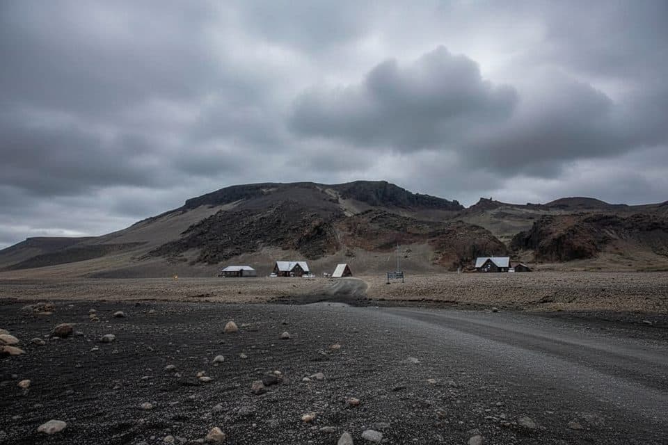
  • Dreki Huts: Basecamp for Askja
  • Black Sand Dunes: Reading the Wind
  • 102 audio storiesacross Vatnajökull’s roads, triggered by GPS as you drive
  • Wildlife heatmapsfor Grey Seal, Harbor Seal, Caribou, and 13 more
  • Works offlinemaps, 16 trails, 72 places, and audio download before you lose signal
  • CarPlay readysimple controls built for the drive
★★★★★
“Fantastic app with many points of information… It’s great to just turn on while you’re driving and it gives you an audio tour of the national Park. We love it!!!!”
JMJamesApp Store review
Download Parkwolf on the App StoreGet Parkwolf on Google Play

4.7 from 8,600+ ratings

Guide

More about Askja Caldera

What You'll SeeÖskjuvatn: a cold, inky-blue caldera lake about 220 m deep, filling much of the 1875 crater.
  • Öskjuvatn: a cold, inky-blue caldera lake about 220 m deep, filling much of the 1875 crater.
  • Víti: the photogenic, pale-blue explosion crater beside Öskjuvatn. Water is typically above 20°C; bathing is popular but strictly at your own risk.
  • Vast tephra and rough ‘a’ā lava fields, with big-sky views across the Highlands.
Trails & Time on FootCaution on Víti: the descent can be very slippery, and mud/rock slides can occur.

Caution on Víti: the descent can be very slippery, and mud/rock slides can occur. If conditions look sketchy, admire from the rim.

  • Vikraborgir → Öskjuvatn/Víti (A1): The classic, straightforward route from the main parking area to the crater rims. It’s roughly 2.5 km from the car park to the lakes.
  • Dreki → Dyngjufjöll → Víti (A2): A scenic approach threading lava and tephra before climbing to the rim.
  • Longer traverse options exist across Dyngjufjöll for strong hikers.
Facilities & OvernightsAt Askja (Vikraborgir): Designated parking and toilet facilities; in high season, a ranger is…
  • At Askja (Vikraborgir): Designated parking and toilet facilities; in high season, a ranger is often on site and may lead walks.
  • Nearby bases: Dreki (Drekagil) has huts (about 55 beds), a campsite, toilets, and showers. Herðubreiðarlindir offers huts (~25 beds), a campsite, and toilets. Rangers are stationed in summer at Dreki and Herðubreiðarlindir. Book huts through local touring clubs. Note: these facilities are a drive from the caldera itself.
  • No services: There are no restaurants, shops, or gas stations in the Askja area.
Safety EssentialsHighlands weather turns on a dime—bring warm layers, waterproofs, and sturdy boots.
  • Highlands weather turns on a dime—bring warm layers, waterproofs, and sturdy boots.
  • Stick to marked routes; reassess footing constantly on the Víti descent.
  • If you’re not experienced with F-roads and fords, consider a guided super‑jeep day trip from the north.
History & Geology Snapshots1875 eruption: a powerful sequence that sent ash across East Iceland and into mainland Europe,…
  • 1875 eruption: a powerful sequence that sent ash across East Iceland and into mainland Europe, damaging farms and livelihoods.
  • 1961 activity: the Vikrahraun lava and tephra you’ll see on the approach and along the A1 route.
  • Notable events: a large landslide into Öskjuvatn in 2014 produced a ~30 m wave; an early 20th‑century scientific expedition suffered a tragic disappearance on the lake.
Fees & RulesPark entry is free.

Park entry is free. Remote highland trailheads typically don’t charge parking, though other areas of the park may. Always follow ranger guidance and posted safety notices.

Wildlife

Wildlife in Vatnajökull

All Vatnajökull wildlife maps

Sighting maps show where each species has been reported across Vatnajökull. Wildlife moves, so no sighting is guaranteed.

Parkwolf’s Vatnajökull ranking

Top sights in Vatnajökull

All 72 places
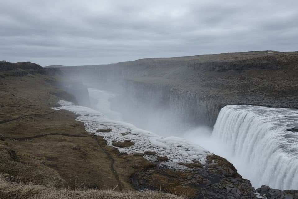
  1. 1DettifossSight
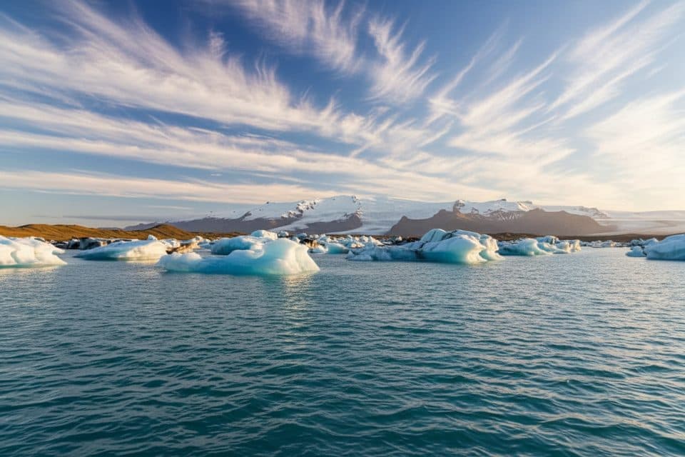
  2. 2JökulsárlónSight
  3. 3Dettifoss West ViewpointSight
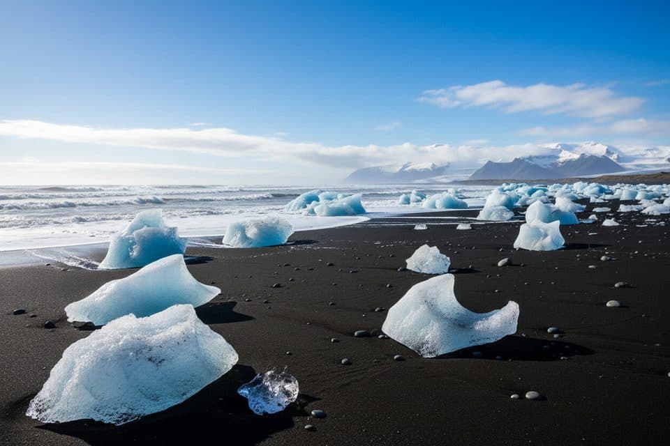
  4. 4Diamond Beach (Breiðamerkursandur)Beach
  5. 5MúlagljúfurSight
  6. 6Breidamerkurjökull GlacierSight

Take Parkwolf to Vatnajökull.

The audio tour guide for the drive, plus offline maps, trails, and wildlife heatmaps for when the signal drops.

4.7 from 8,600+ ratings

Download Parkwolf on the App StoreGet Parkwolf on Google Play