Parking
Eks Bay is reached by water, not by road. Arrive at the landing by private boat or water taxi; the park does not rent watercraft for large lakes, so arrange transportation before the hike.

Voyageurs National Park, MN
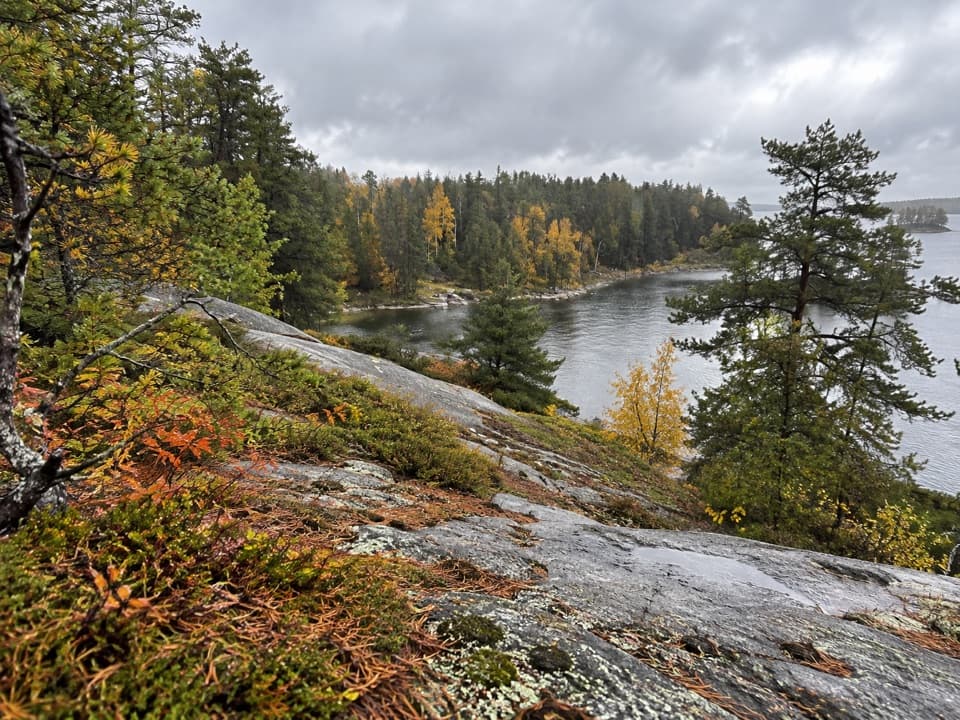
A short boat access walk to a backcountry lake campsite.
Overview
Map & elevation
Plan your hike

The highest, rockiest slopes around here are a summer buffet for grizzly bears.
Voyageurs Tour Guide
Parkwolf is a GPS audio tour guide for Voyageurs National Park. As you drive, it chimes in with what’s ahead: hidden gems, upcoming stops, history, geology, and wildlife, right through your car’s speakers.
More stories near here in the app
“Fantastic app with many points of information… It’s great to just turn on while you’re driving and it gives you an audio tour of the national Park. We love it!!!!”


Trail guide
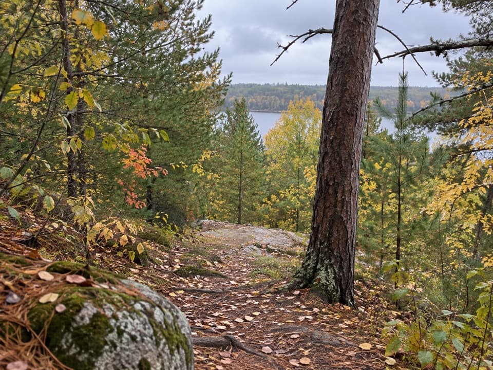
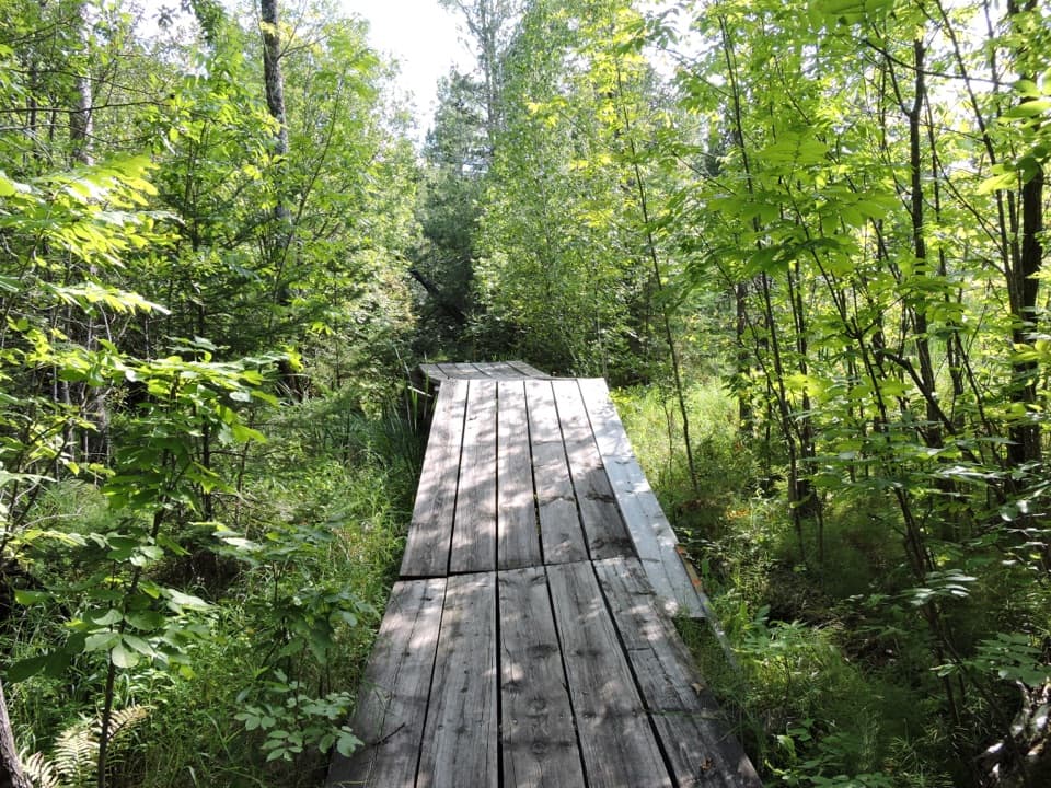
Jorgens Lake Trail is a 1-mile point-to-point walk from the Eks Bay landing on Kabetogama Lake to B7 campsite on Jorgens Lake. The park's distance is one way; if you return to Eks Bay on foot, plan for about 2 miles total. Allow roughly 45 minutes for the walk to B7, separate from the boat trip.
The trail begins at Eks Bay, not at a roadside parking area. Arrive by boat or water taxi, and arrange your return across Kabetogama Lake before setting out. The park does not rent watercraft for the large lakes, so sort out transportation first. The walk is short; the boat logistics make this a backcountry trip.
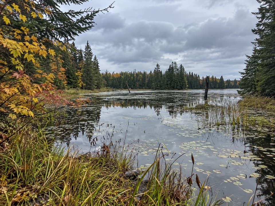
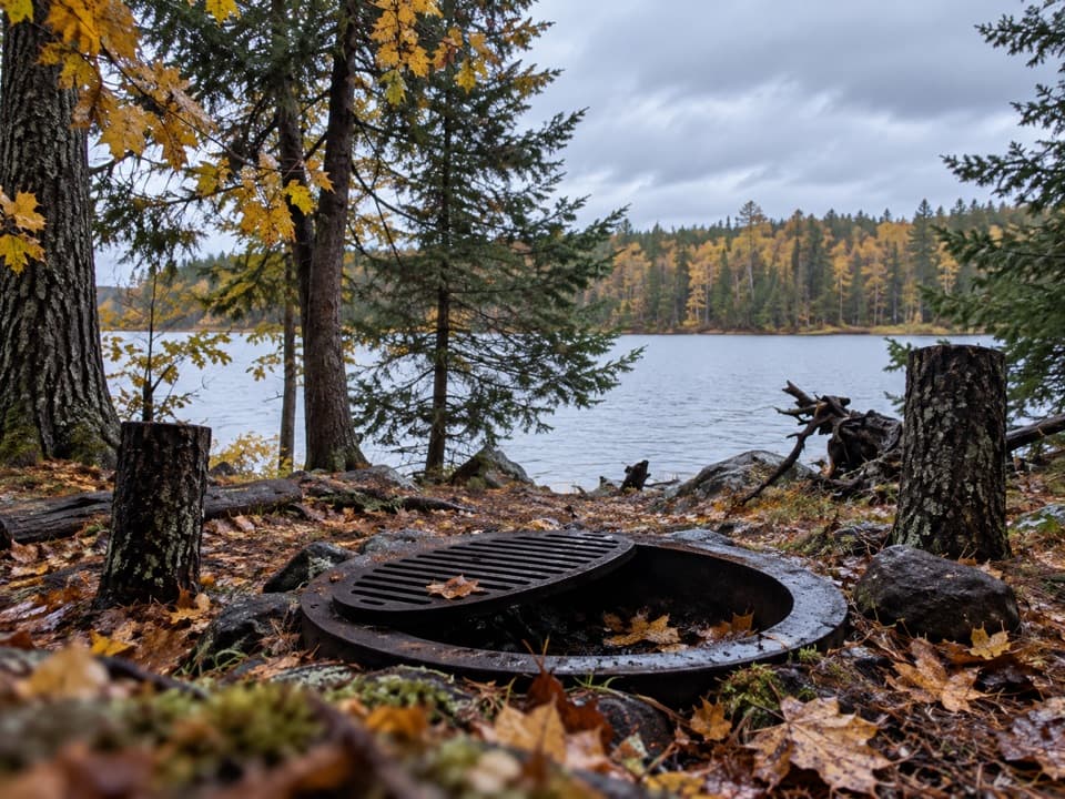
The route ends at B7, a backcountry campsite on Jorgens Lake. The site has a fire ring and logs; an overnight reservation includes a canoe staged for the campsite. You need a campsite reservation or permit to stay overnight. Pets are not allowed on park trails except the Rainy Lake Visitor Center Recreation Trail; service animals are permitted.
Wildlife
 10 sightingsGray WolfMost seen around 7 PMSighting map
 12 sightingsMooseMost seen around 7 AMSighting map
 67 sightingsBald EagleMost seen around 10 AMSighting map
 79 sightingsLoonMost seen around 6 AMSighting map
 41 sightingsWhite PelicanMost seen around 8 AMSighting map
 19 sightingsTrumpeter SwanMost seen around 6 PMSighting map
Sighting maps show where each species has been reported across Voyageurs. Wildlife moves, so no sighting is guaranteed.
Keep exploring
 ModerateLittle Shoepack Lake Trail3.4 mi · 2 hr · At the trailheadA remote forest walk that ends at a lakeshore canoe landing.
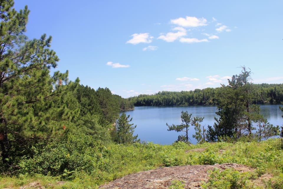 ChallengingCruiser Lake Trail8 mi · 6 hr · 1.4 mi awayA boat-access traverse with a rocky view across Cruiser Lake.
 EasyKabetogama Lake Overlook Trail0.4 mi · 20 min · 2.5 mi awayA short accessible path to a bench and a tree-framed lake view.
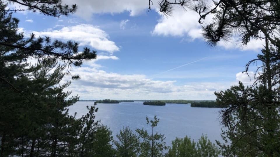 ModerateBlind Ash Bay Trail2.9 mi · 2 hr · 2.7 mi awayA rocky peninsula loop opens onto two very different lake views.
 EasySullivan Bay Trail1.3 mi · 1 hr · 3.2 mi awayA short forest road ends at a rocky bay overlook.
 ModerateBeaver Pond Overlook Trail0.4 mi · 20 min · 3.3 mi awayA short uphill walk to a rocky overlook above a beaver pond.
 ModerateBeast Lake Trail2.5 mi · 2.5 hr · 5.5 mi awayA remote ridge walk between two trailheads reached by boat.
 ModerateBrown Lake Trail from Anderson Bay5 mi · 3 hr · 5.8 mi awayA short lakeside spur reached by a long backcountry approach.
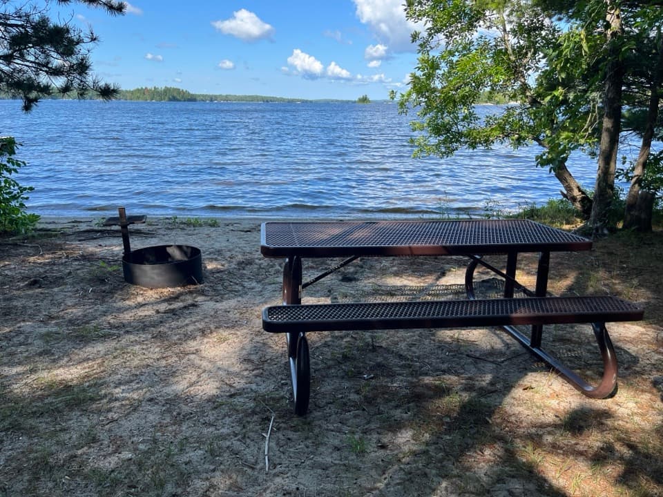 Picnic area · 2.1 mi awayRound Bear Island Day-Use AreaA sandy picnic landing for a boat break on Kabetogama Lake.
 Visitor center · 2.5 mi awayAsh River Visitor CenterHistoric lodge, lake views, and an easy start to Ash River.
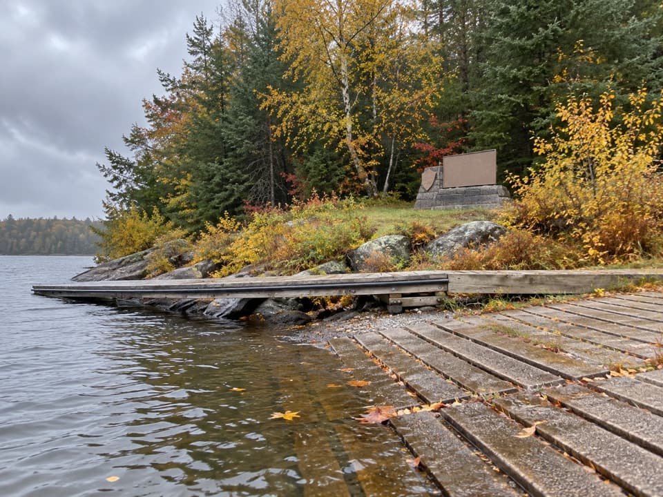 Beach · 2.5 mi awayShoepack BeachBreak up a boat day with a picnic on the shore.
 Sight · 2.7 mi awayKabetogama Lake OverlookA short forest walk to a tree-framed lake view.
 Sight · 3.4 mi awayBeaver Pond OverlookA short climb to an open view over a beaver pond.
 Picnic area · 4.4 mi awayVoyageurs Forest OverlookA dark-sky picnic stop, with a tree-screened daytime overlook.
 Beach · 4.7 mi awayCrescent BeachA Rainy Lake sand landing for a picnic by boat.
 Campground · 4.7 mi awayAsh River CampgroundA simple landing-side base for getting out on the lakes.
Parkwolf’s Voyageurs ranking

The audio tour guide for the drive, plus offline maps, trails, and wildlife heatmaps for when the signal drops.