Parking
Use the Bertha Trailhead lot on Evergreen South, about 350 m south of Cameron Falls in Waterton townsite.

Waterton Lakes National Park, AB
A short waterfall hike with a big view of Waterton Lake.
Overview
Map & elevation
Plan your hike

The highest, rockiest slopes around here are a summer buffet for grizzly bears.
Waterton Lakes Tour Guide
Parkwolf is a GPS audio tour guide for Waterton Lakes National Park. As you drive, it chimes in with what’s ahead: hidden gems, upcoming stops, history, geology, and wildlife, right through your car’s speakers.
See the Waterton Lakes audio tourRecorded for this trailhead
Bertha Trailhead“You’re nearing the Bertha trailhead, where I’d choose Lower Bertha Falls for a shorter hike.”
Plays as you drive up to this trailhead in the Parkwolf Waterton Lakes Tour Guide.
More stories near here in the app
“Fantastic app with many points of information… It’s great to just turn on while you’re driving and it gives you an audio tour of the national Park. We love it!!!!”


Trail guide
Lower Bertha Falls is a 3.2-mile (5.2-kilometre) out-and-back from Bertha Trailhead in Waterton townsite. The trail climbs from town to a view over Upper Waterton Lake, then follows the creek to a fan-shaped cascade beside a bridge. Parks Canada rates it moderate, with 175 metres (574 feet) of elevation gain; allow about 1.5 hours. This route ends at Lower Bertha Falls. Bertha Lake is the much steeper continuation beyond it.
At the marked split, follow the creek toward the falls. The Lakeshore branch heads south instead, so don’t add that route by mistake.
The climb out of town is steady but short. A bench viewpoint a little over a kilometre in looks south across Upper Waterton Lake toward Glacier National Park and the surrounding peaks. Keep a few of the foreground trees in a photo; they give the long lake and mountain walls a sense of scale.
The trail passes through forest changed by the 2017 Kenow Fire. Fireweed and wild bergamot bring color to parts of the burn, especially when they’re flowering.
The lower falls spread over slanted, upturned rock in a fan-shaped cascade. The bridge is the safe place to stop and look. The rock beside the water is steep and slippery, so skip the scramble for a closer angle.
Park at Bertha Trailhead on Evergreen South, about 350 metres south of Cameron Falls. The trailhead and first section are in avalanche terrain; check Parks Canada’s current avalanche information before setting out. Parks Canada also recommends carrying bear spray where you can reach it and knowing how to use it. I couldn’t verify the park’s pet rule for this route, so check before bringing a dog.
Wildlife
 83 sightingsBisonMost seen around 7 PMSighting map
 563 sightingsBlack BearMost seen around 6 PMSighting map
 146 sightingsElkMost seen around 7 PMSighting map
 113 sightingsBighorn SheepMost seen around 7 PMSighting map
 55 sightingsBald EagleMost seen around 9 AMSighting map
 53 sightingsTrumpeter SwanMost seen around 6 PMSighting map
Sighting maps show where each species has been reported across Waterton Lakes. Wildlife moves, so no sighting is guaranteed.
Keep exploring
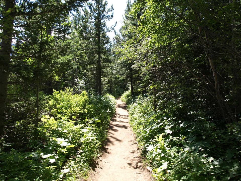
 ModerateBertha Lake Trail10.3 km · 4.5 hr · At the trailheadA waterfall warm-up before the climb to Bertha Lake.
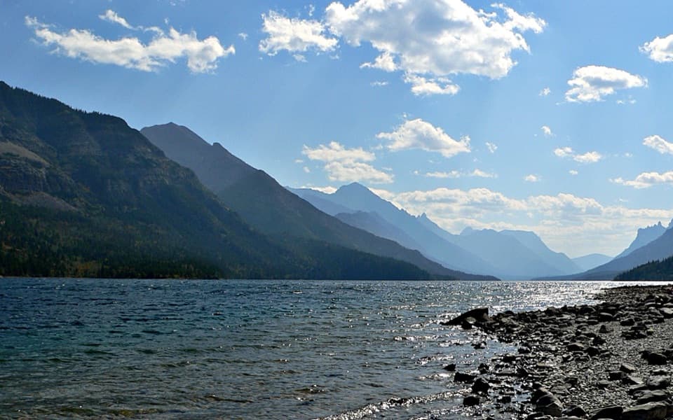
 ModerateLakeshore Trail13.5 km · 4 hr · At the trailheadOne way lakeshore hike from Waterton to Goat Haunt, crossing into Glacier.
 EasyTownsite Loop3.2 km · 1 hr · 0.5 km awayA gentle paved loop links Cameron Falls, the village, and lakeshore.
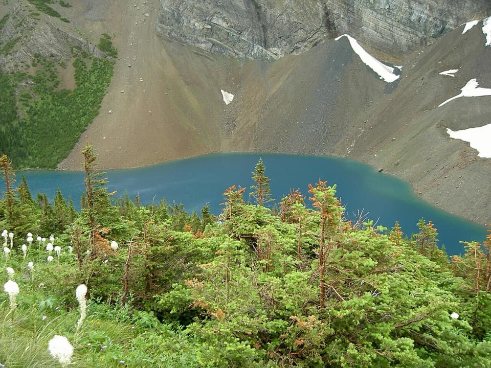 ChallengingAlderson Lake Trail14 km · 5.5 hr · 0.5 km awayA forest climb ends at a blue lake beneath Mount Alderson's cliffs.
 ModerateCrandell Lake-Townsite Trail12.4 km · 4 hr · 0.8 km awayA steady climb from town through renewing forest to a lake.
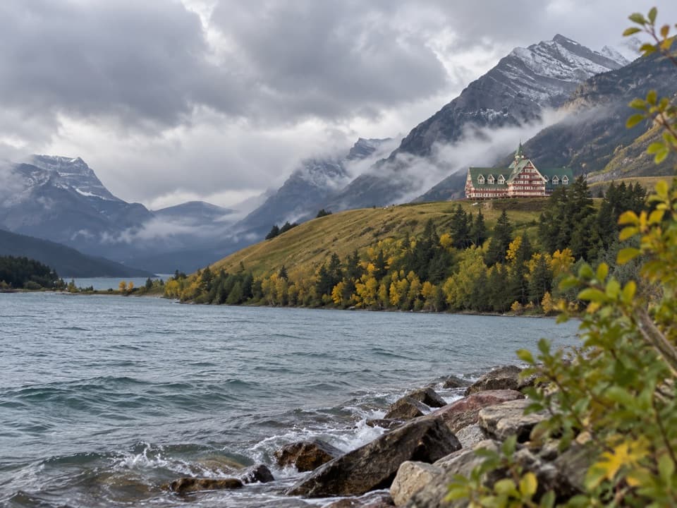 EasyPrince of Wales Loop2 km · 45 min · 1.4 km awayA short circuit below the historic hotel, with two lakes in view.
 ModerateBear’s Hump Trail2.9 km · 1 hr · 1.7 km awayThe short, steep climb to Waterton’s broad town-and-lake panorama.
 EasyLinnet Lake Loop1 km · 20 min · 2 km awayA paved 20-minute loop with lakeside views and interpretive stops.
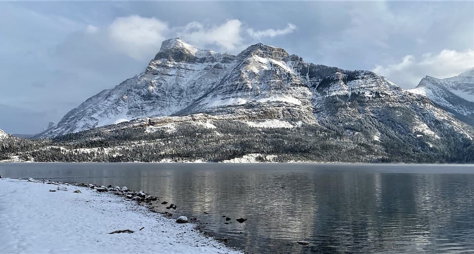 Picnic area · 0.3 km awayCameron Bay Day Use AreaA lakeshore picnic stop with shelters and night-sky viewing.
 Lodging · 0.3 km awayNorthland LodgeA nine-room inn for muffin breakfasts and mountain-view mornings.
 Campground · 0.4 km awayTownsite CampgroundA large RV and tent campground within walking distance of town.
 Sight · 0.5 km awayCameron FallsSee a close-up waterfall over 1.6-billion-year-old rock.
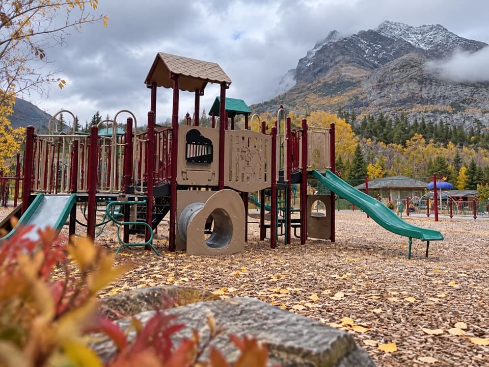 Sight · 0.6 km awayWaterton Community PlaygroundTwo age-group play areas make this an easy family reset.
 Visitor center · 0.7 km awayWaterton Lakes Visitor CentreGet trail updates, then explore Blackfoot-focused exhibits.
 Picnic area · 0.7 km awayLakeshore Day Use AreaAn easy picnic beside Upper Waterton Lake, just outside town.
 Store · 0.7 km awayWelch’s Chocolate ShopNostalgic sweets, ice cream, and a jumbo cinnamon bun.
Parkwolf’s Waterton Lakes ranking

The audio tour guide for the drive, plus offline maps, trails, and wildlife heatmaps for when the signal drops.



