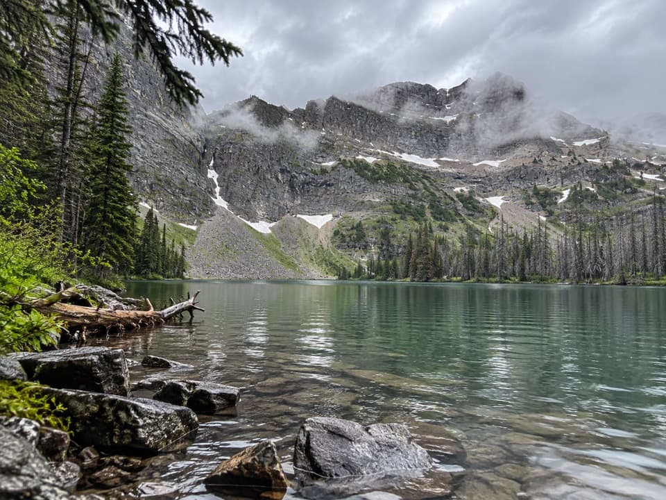
Parking
Start at the Rowe Lakes trailhead on the north side of Akamina Parkway, also known as the Rowe-Tamarack access. Parking can get tight; no toilet is documented at the trailhead.

#5 of 47 trails in Waterton Lakes
Waterton Lakes National Park, AB
A hard ridge climb with the Lineham Lakes far below.
Overview
Map & elevation
Plan your hike

The highest, rockiest slopes around here are a summer buffet for grizzly bears.
Waterton Lakes Tour Guide
Parkwolf is a GPS audio tour guide for Waterton Lakes National Park. As you drive, it chimes in with what’s ahead: hidden gems, upcoming stops, history, geology, and wildlife, right through your car’s speakers.
See the Waterton Lakes audio tourRecorded for this trailhead
Rowe Lakes Trailhead“You’re approaching the Rowe Lakes trailhead, where I’d choose Lower Rowe Lake for a moderate hike.”
Plays as you drive up to this trailhead in the Parkwolf Waterton Lakes Tour Guide.
More stories near here in the app
“Fantastic app with many points of information… It’s great to just turn on while you’re driving and it gives you an audio tour of the national Park. We love it!!!!”


Trail guide
Lineham Ridge is a hard, 17.2 km (10.7 mi) out-and-back from the Rowe Lakes trailhead on Akamina Parkway. It follows Rowe Creek through forest and Rowe Meadow, then climbs to a cairn on the ridge for views into the Lineham Lakes basin and back across Rowe Valley. Allow 6–8 hours and about 960 m (3,150 ft) of total climbing. This is a full-day mountain hike, not a quick way to reach the lakes: they sit roughly 400 m (1,300 ft) below the ridge. A 20 km return figure also appears; this entry uses 17.2 km, which fits the mapped line to the cairn and two route measurements. The out-and-back corridor is drawn once on the map.
The approach starts in forest beside Rowe Creek. For the first few kilometres, the grade is gentler than the upper climb. Look for bright red argillite among mossy ledges along the creek. At about 3.9 km, the Lower Rowe Lake spur leaves left; stay on the main trail. Small streams cross on log bridges before the path opens into Rowe Meadow, a broad, stream-cut basin under a high headwall. Wildflowers show in season, and this is your last open, relatively level stretch before the ridge. Cross the meadow creek and continue past the Upper Rowe Lake junction to the signed Lineham Ridge branch.
After the junction, a short, steep climb through trees leads to a long traverse across the headwall. Underfoot changes to rock and loose scree, then switchbacks climb to the ridge. Trail markers can be difficult to pick out on the scree, so keep to the signed route. The sustained climb is what makes the hike hard; the valley approach can make it easy to underestimate the work still ahead. The ridge is exposed, with steep scree and cliff bands below the crest.
The ridge cairn is the standard turnaround. Lineham Lakes lie about 400 m below and are not reached by this trail; the payoff is the view into their basin, with the Rowe Lakes and Rowe Valley behind you. From the cairn area, frame the lake basin against its headwalls for the signature view. The trail continues as part of the longer Tamarack route, and a faint, unmaintained line heads toward Mount Lineham's summit; neither extension is part of this hike. Don't add them to your day unless you intend to take on that more complex route.
The trailhead is the Rowe Lakes or Rowe-Tamarack access on the north side of Akamina Parkway. Parking can get tight, and no toilets or potable-water supply were confirmed at the trailhead or along the route. Bring drinking water for the full day. Dogs are allowed but must stay leashed under Parks Canada rules; park admission fees apply.
If the ridge is more than you want, Lower Rowe Lake is a separate 8 km return walk taking about 3 hours; Upper Rowe Lake is about 12.8 km return and 5 hours. They share the Rowe Creek approach, but don't take their lake spurs if you're doing Lineham Ridge.
Wildlife
 83 sightingsBisonMost seen around 7 PMSighting map
 563 sightingsBlack BearMost seen around 6 PMSighting map
 146 sightingsElkMost seen around 7 PMSighting map
 113 sightingsBighorn SheepMost seen around 7 PMSighting map
 55 sightingsBald EagleMost seen around 9 AMSighting map
 53 sightingsTrumpeter SwanMost seen around 6 PMSighting map
Sighting maps show where each species has been reported across Waterton Lakes. Wildlife moves, so no sighting is guaranteed.
Keep exploring
 ModerateUpper Rowe Lake Trail12.8 km · 5 hr · At the trailheadCreek cascades, a flowered meadow, and an alpine lake below Mount Rowe.
 ChallengingTamarack Trail34.3 km · 12 hr · At the trailheadCross high ridges and backcountry lakes from Rowe to Red Rock Canyon.
 ModerateLower Rowe Lake Trail8 km · 3 hr · At the trailheadMossy creek ledges and red argillite lead to a cliff-backed lake.
 ModerateRowe Meadow Trail10.5 km · 4 hr · At the trailheadA flowered meadow in a mountain bowl, reached beside Rowe Creek.
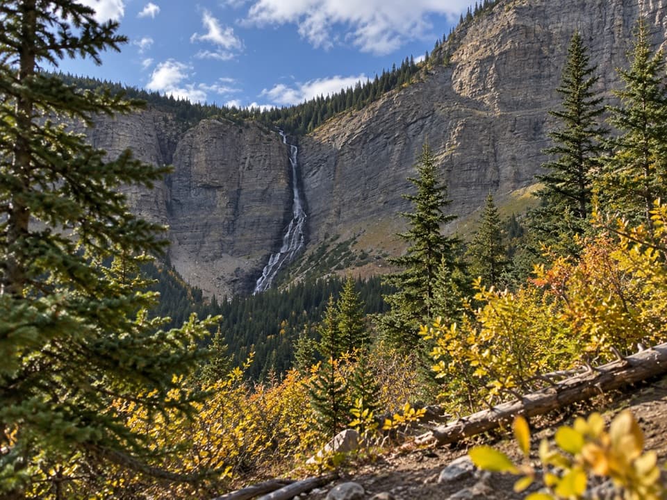 ModerateLineham Falls Trail8.4 km · 3 hr · 1.3 km awayA steady creekside climb to a viewpoint below a 250-metre waterfall.
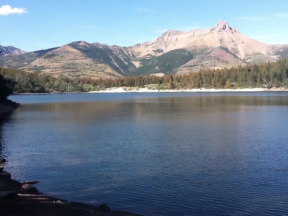 EasyCrandell Lake Trail (Akamina Parkway)3.5 km · 1 hr · 3.4 km awayA steady climb ends at a lake tucked between forested ridges.
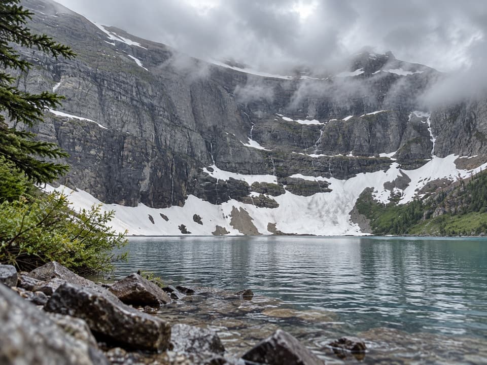 ModerateWall Lake Trail10.4 km · 4.5 hr · 3.8 km awayA cross-border walk from Akamina Pass to a lake beneath sheer cliffs.
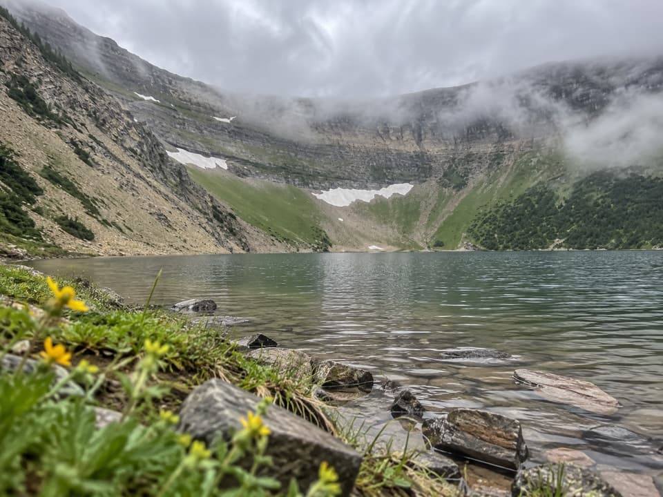 ModerateForum Lake Trail9 km · 3.5 hr · 3.8 km awayColourful ancient limestone makes the lake shore worth the climb.
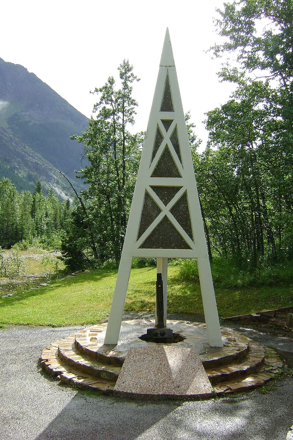 Sight · 2.3 km awayFirst Oil Well in Western Canada National Historic SiteA derrick-shaped monument marks western Canada's first saleable oil.
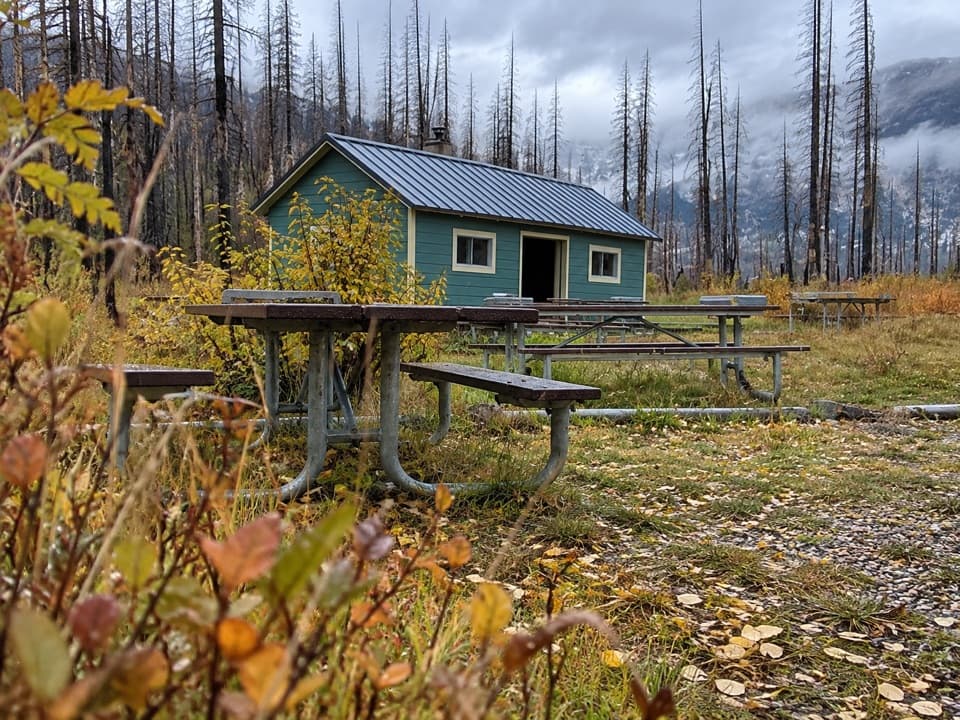 Picnic area · 2.4 km awayLittle Prairie Day Use AreaA useful picnic stop that becomes the winter road's end.
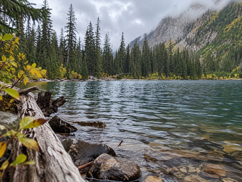 Sight · 3 km awayLower Rowe LakeA small alpine lake beneath steep cliffs, reached by a moderate hike.Sight · 3.6 km awayUpper Rowe LakesA meadow and alpine lakes at the end of steep switchbacks.
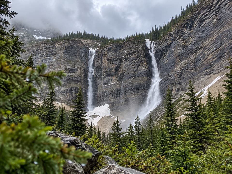 Sight · 3.9 km awayLineham FallsA moderate hike to twin falls beneath two high peaks.
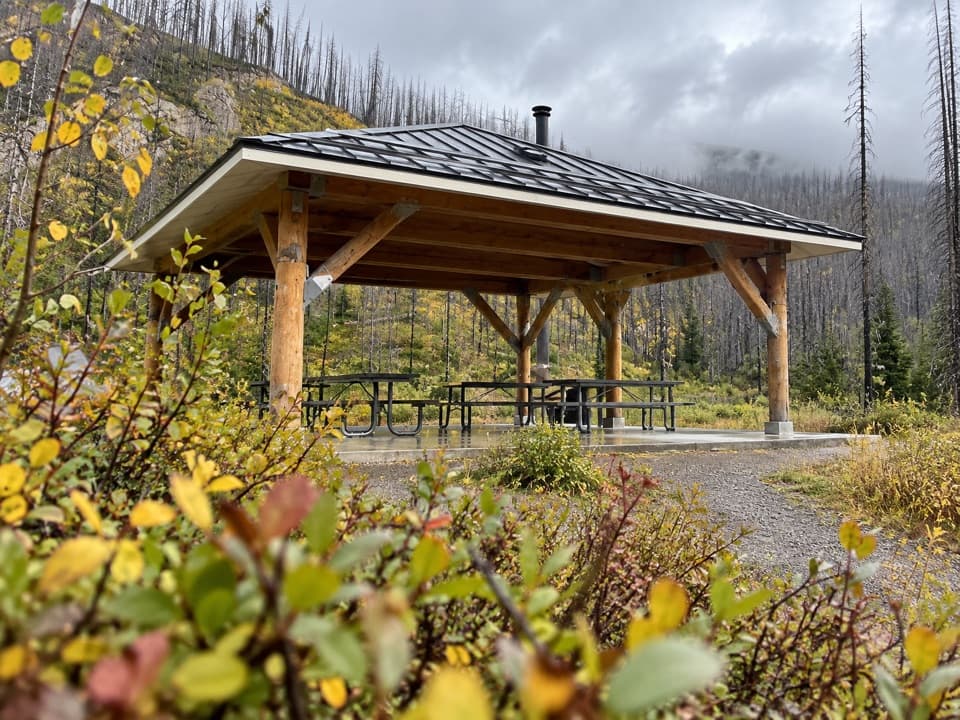 Picnic area · 4 km awayMcNeely’s Day Use AreaA creekside picnic with a shelter and wood stove.
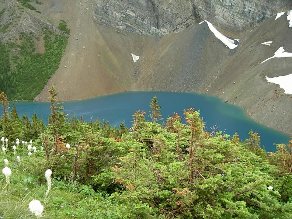 Sight · 4.1 km awayAlderson LakeBlue water, high cliffs, and an all-day hike to get there.
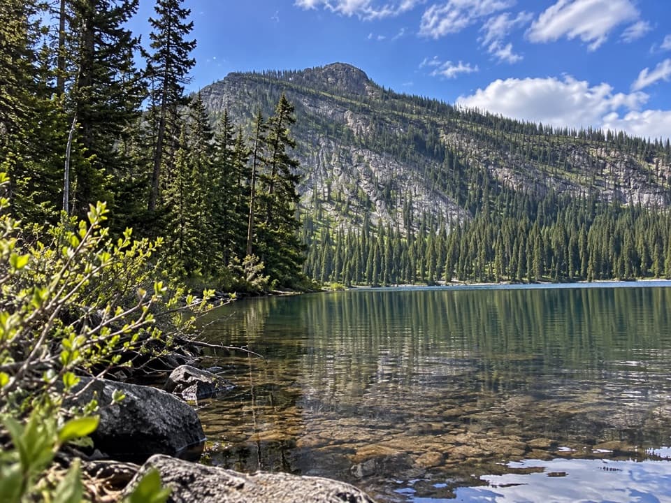 Sight · 4.3 km awayAkamina LakeAn easy half-hour detour to a sheltered subalpine lake.
Parkwolf’s Waterton Lakes ranking

The audio tour guide for the drive, plus offline maps, trails, and wildlife heatmaps for when the signal drops.