Parking
Small roadside parking beside the Karangarua River bridge on SH6, about 26 km south of Fox Glacier; the route starts across the road.
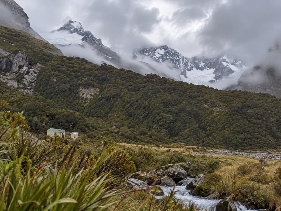
Westland Tai Poutini National Park, WC
A demanding alpine traverse for expert backcountry trampers.
Overview
Map & elevation
Plan your hike

The highest, rockiest slopes around here are a summer buffet for grizzly bears.
Westland Tai Poutini Tour Guide
Parkwolf is a GPS audio tour guide for Westland Tai Poutini National Park. As you drive, it chimes in with what’s ahead: hidden gems, upcoming stops, history, geology, and wildlife, right through your car’s speakers.
See the Westland Tai Poutini audio tourRecorded for this area
Copland Track Access: the Walk to Welcome Flat“The access turnoff for Copland Track is coming up, the start of the walk to Welcome Flat's natural hot pools.”
Plays on the road 0.4 km from the trailhead in the Parkwolf Westland Tai Poutini Tour Guide.
More stories near here in the app
“Fantastic app with many points of information… It’s great to just turn on while you’re driving and it gives you an audio tour of the national Park. We love it!!!!”


Trail guide
This is a one-way route of about 14.2 mapped miles (22.8 km) from the Karangarua River bridge on SH6 to Horace Walker Hut, via Cassel Flat, Regina Creek and Conical Hill Saddle. No official combined distance is published. DOC’s separate walking estimates add up to about 19 hours: six hours to Cassel Flat Hut, then 13 hours to Horace Walker. Plan for at least two days. The upper traverse is partly unmarked and exposed; it is for highly skilled, well-equipped parties.
The trail begins across the road from a small parking area beside the bridge, about 26 km south of Fox Glacier. Follow the true left bank upstream, mostly along the riverbed, through changing channels, bush, boulders and grassy flats. This approach reaches Cassel Flat Hut in about six hours.
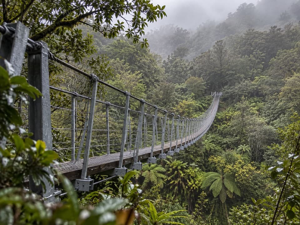
From Cassel Flat Hut, cross the flats and take the cableway over the Karangarua River. Markers continue past a slip and steep bank to a three-wire bridge over Regina Creek, with a campsite just beyond. The climb toward Conical Hill Saddle passes through fuchsia clearings and windfall where the route can be hard to pick out, then through scrub and tussock with short exposed bedrock sections. Metal poles mark the saddle.
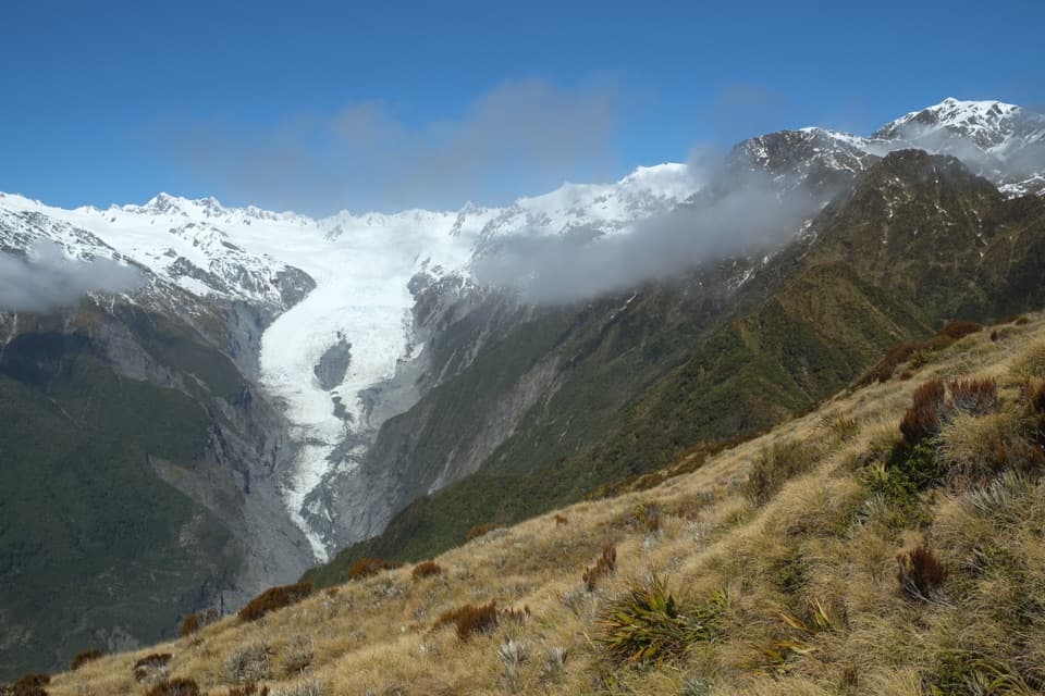
Beyond the saddle, the route is partly unmarked. A narrow scrubby ledge passes tight bluffs before the line traverses high, around 1,400 m. Descend when the Horace Walker moraine is visible below, then cross the tussock terrace and Horace Walker River to reach the hut. The bluffs, ledge and route-finding make this a serious alpine undertaking, not a casual extension of a valley walk.
Summer and autumn are the recommended seasons. Rivers can flood at any time; avoid bad weather or forecast rain, and do not cross flooded rivers or side streams. Avalanche danger can be high. Dogs are prohibited. Horace Walker Hut is a standard four-bunk hut and requires hut tickets. Red deer occur in the valley and tahr may be found higher around steep bluffs, but sightings are not assured. Horace Walker Hut is the end of this trail record; routes beyond it are separate trips.
Wildlife
 89 sightingsKeaMost seen around 10 AMSighting map
 10 sightingsBlue DuckMost seen around 5 PMSighting map
 80 sightingsKererūMost seen around 7 AMSighting map
 38 sightingsTūīMost seen around 5 AMSighting map
 10 sightingsNew Zealand FalconMost seen around 10 AMSighting map
 28 sightingsYellow-crowned ParakeetMost seen around 8 AMSighting map
Sighting maps show where each species has been reported across Westland Tai Poutini. Wildlife moves, so no sighting is guaranteed.
Keep exploring
 ChallengingKarangarua River Valley Route to Christmas Flat24.1 km · 16 hr · At the trailheadThree huts, rough river crossings, and a 70-metre exposed washout.
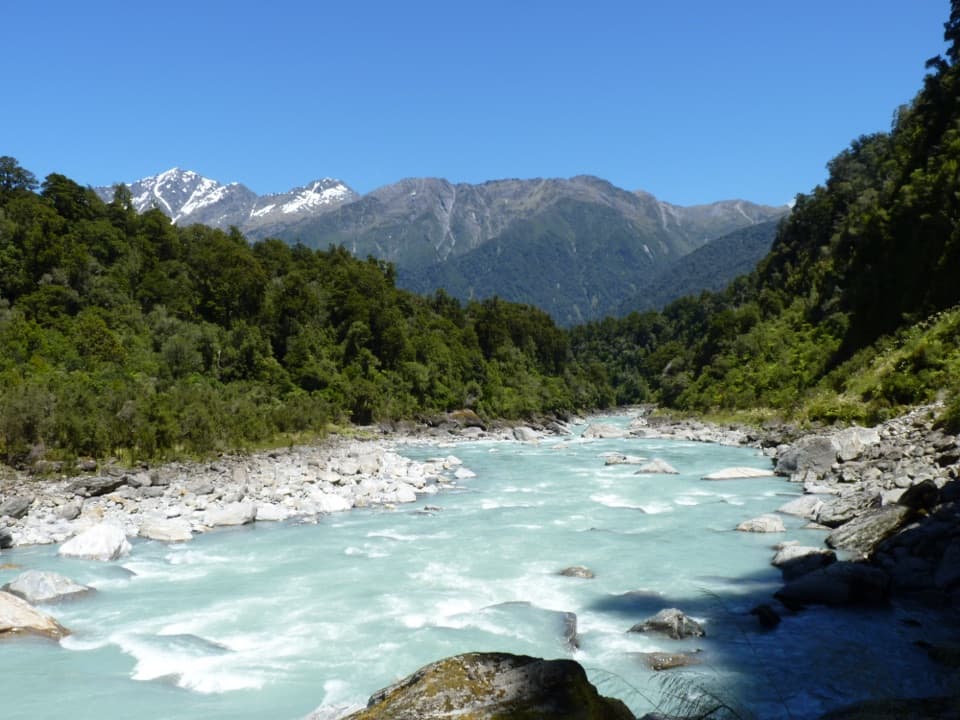 ChallengingCopland Track to Welcome Flat Hut36 km · 14 hr · 0.5 km awayA long valley tramp ends at hot pools beneath alpine peaks.
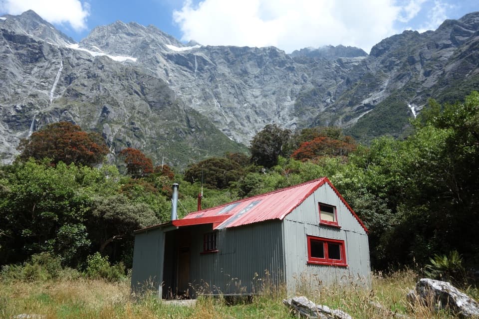 ChallengingUpper Copland Valley Track14 km · 6 hr · 12.8 km awayA rough, remote tramp to a small hut beneath the high peaks.
 EasyMiners Cemetery Walking Track0.3 km · 5 min · 17.5 km awayA brief walk to the graves of early gold prospectors.
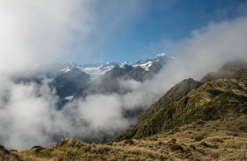 ChallengingMount Fox Route7.4 km · 8 hr · 18.5 km awayA steep expert climb to glacier and coast views.
 ModerateMiners Tunnel Track5.1 km · 1.7 hr · 18.6 km awayA gold dredge, lagoon bridge and tunnel fit in one coastal walk.
 EasyGillespies Bucket Dredge Walk1.6 km · 30 min · 18.6 km awayTake a short walk through old tailings to a rusting gold dredge.
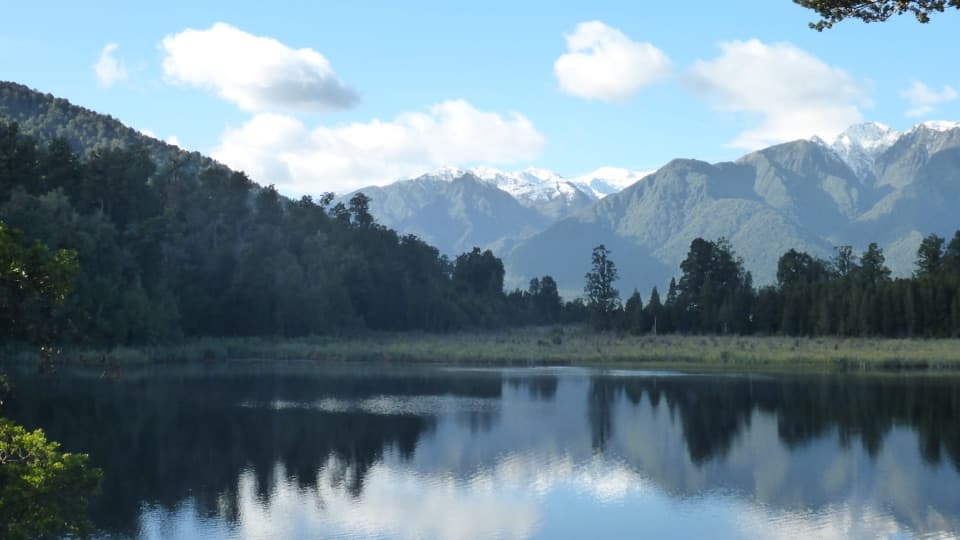 EasyLake Matheson/Te Ara Kairaumati Walk4.4 km · 1.5 hr · 19.3 km awayA rainforest circuit to a mirror lake below the Southern Alps.
 Lodging · 7.6 km awayArchitect Creek HutTwo bunks make a useful overnight break halfway to Welcome Flat.
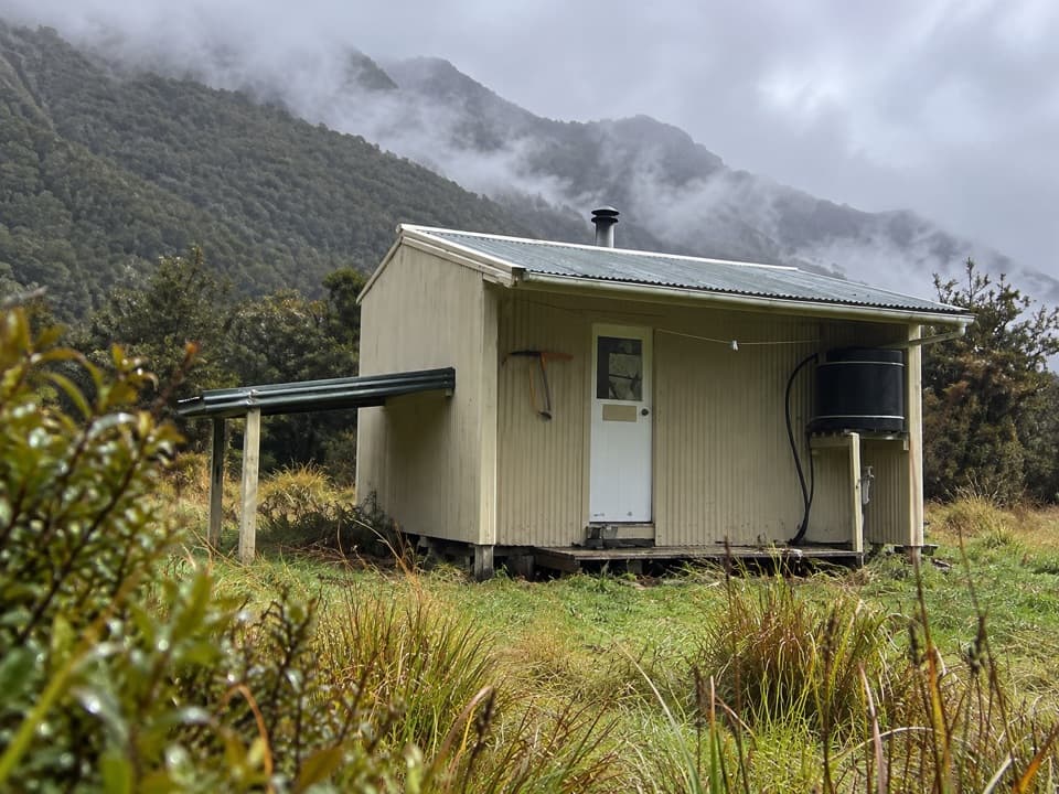 Lodging · 9.4 km awayCassel Flat HutA six-hour walk to a six-bunk hut for experienced trampers.
 Sight · 12.8 km awayWelcome Flat Hot PoolsWarm pools and Sierra Range views, after a long backcountry tramp.
 Lodging · 12.9 km awayWelcome Flat HutA 31-bunk hut after seven hours on the Copland Track.
 Campground · 13 km awayWelcome Flat CampsiteBackcountry tents near hot pools, after a long valley walk.
 Lodging · 15.4 km awayLame Duck HutA four-bunk stop deep on an expert backcountry route.
 Lodging · 15.8 km awayHorace Walker HutA four-bunk overnight for expert trampers in remote river country.
Parkwolf’s Westland Tai Poutini ranking

The audio tour guide for the drive, plus offline maps, trails, and wildlife heatmaps for when the signal drops.