Copland Track to Welcome Flat Hut in Westland Tai Poutini National Park

#3 of 31 trails in Westland Tai Poutini

Westland Tai Poutini National Park, WC

Copland Track to Welcome Flat Hut

A long valley tramp ends at hot pools beneath alpine peaks.

Photo: Wikimedia Commons
Length
36km
Time
14hr
Elev. change
415m
Difficulty
Challenging
  • No dogs
  • High point 466 m

Hear the audio tour

Copland Track Access: the Walk to Welcome Flat

Overview

About Copland Track to Welcome Flat Hut

Why go

  • Natural hot pools make the remote hut a memorable overnight destination.
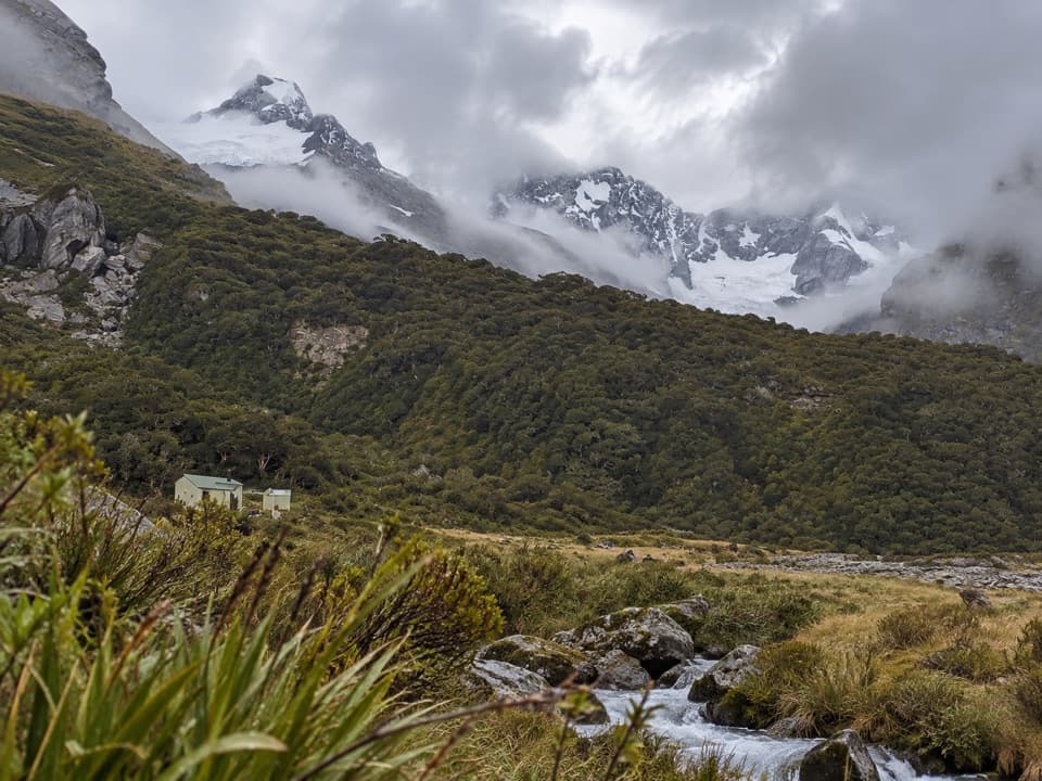
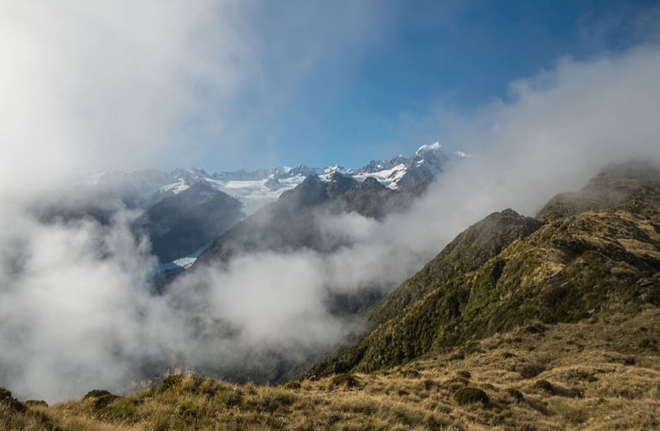
  • The long valley walk shifts between river flats, rātā forest and alpine views.

Heads up

  • The 36 km return trip takes multiple days and a hut or campsite booking.
  • Flooded streams and active landslide zones can make the route unsafe.

Map & elevation

The route

Loading the Westland Tai Poutini map
Full map
Elevation51–466 m
TrailheadRough Creek car park-43.57484, 169.81161
Keep this map with you offline in the Parkwolf app

Plan your hike

Before you go

Parking

Turn off SH6 26 km south of Fox Glacier, on the north side of the Karangarua River bridge; drive about 150 m along the gravel road to the Rough Creek car park and close the gate behind you. There is no camping at the road end; bus transport must be booked in advance.

Safety

Cross Rough Creek only when safe; unbridged streams and the Copland River can flood and make the track impassable. Do not start in severe weather or forecast heavy rain. Pass through the two signposted landslide zones without stopping; winter avalanche conditions are possible, especially in late winter and spring. Check current track notices before travel.

1 active Westland Tai Poutini alert

  • CautionActive landslide zones on Copland TrackMentions Copland Track, referenced in this guideDo not stop in either of Copland Track’s signposted active landslide zones; take extra care during and after heavy rain.Official details
Westland Tai Poutini alerts
A park ranger sits on a dash-mounted phone, talking, as Parkwolf’s Tour Guide plays “Army Cutworm Moths: A Grizzly Bear Buffet” on Grand Loop Road below Dunraven Pass in Yellowstone
Parkwolf Tour GuideThe highest, rockiest slopes around here are a summer buffet for grizzly bears.

Westland Tai Poutini Tour Guide

Your drive to Copland Track to Welcome Flat Hut, narrated.

Parkwolf is a GPS audio tour guide for Westland Tai Poutini National Park. As you drive, it chimes in with what’s ahead: hidden gems, upcoming stops, history, geology, and wildlife, right through your car’s speakers.

See the Westland Tai Poutini audio tour

Recorded for this trailhead

Copland Track Access: the Walk to Welcome Flat
0:00 / 0:29
“The access turnoff for Copland Track is coming up, the start of the walk to Welcome Flat's natural hot pools.”

Plays as you drive up to this trailhead in the Parkwolf Westland Tai Poutini Tour Guide.

More stories near here in the app

  • Karangarua Valley: the Route to Christmas Flat
  • Plants Perched in Trees
  • A Sandfly's Underwater Life
  • Why Rivers Split into Braids
  • 49 audio storiesacross Westland Tai Poutini’s roads, triggered by GPS as you drive
  • Wildlife heatmapsfor Kea, Blue Duck, Kererū, and 13 more
  • Works offlinemaps, 31 trails, 53 places, and audio download before you lose signal
  • CarPlay readysimple controls built for the drive
★★★★★
“Fantastic app with many points of information… It’s great to just turn on while you’re driving and it gives you an audio tour of the national Park. We love it!!!!”
JMJamesApp Store review
Download Parkwolf on the App StoreGet Parkwolf on Google Play

4.7 from 8,600+ ratings

Trail guide

Hiking Copland Track to Welcome Flat Hut

The scale of the tripCopland Track to Welcome Flat Hut is an 18 km one-way tramp from Rough Creek to a remote hut in…

Copland Track to Welcome Flat Hut is an 18 km one-way tramp from Rough Creek to a remote hut in the Copland Valley. The return is 36 km on the same route. Allow about seven hours each way; most people make it a two- or three-day trip and stay overnight. This suits fit trampers after a remote valley finish, not a quick day walk. Book the Welcome Flat Hut or campsite before you go, and leave room in your plan for a river delay.

Getting into the valleyThe track starts at the Rough Creek car park, off SH6 beside the Karangarua River bridge.

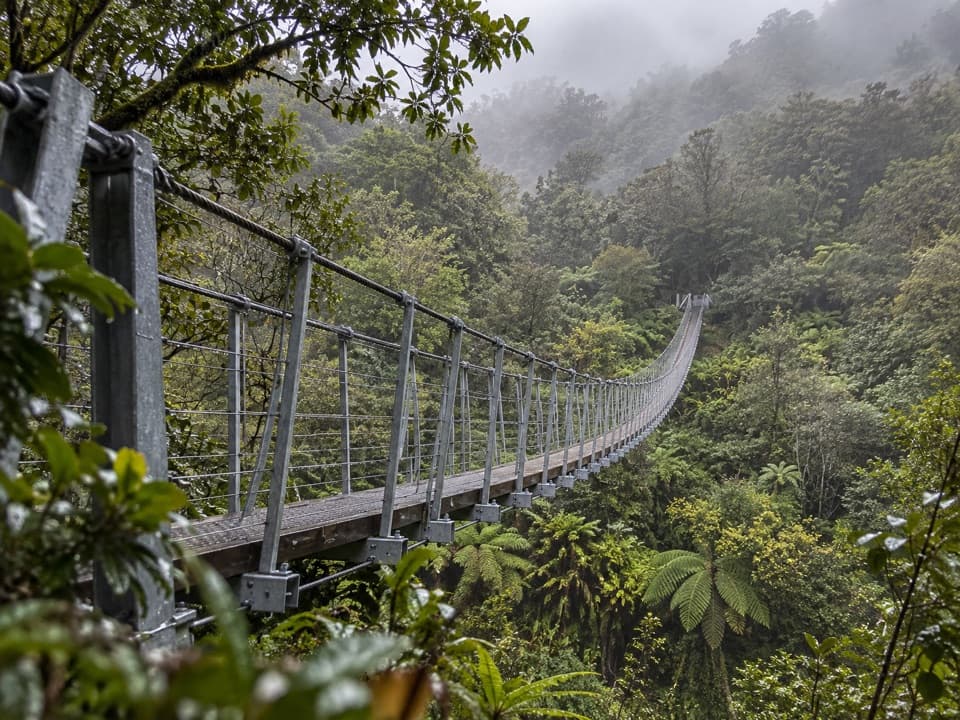
The track starts at the Rough Creek car park, off SH6 beside the Karangarua River bridge. Cross Rough Creek only when it is safe. An emergency flood bridge is farther up the valley, but it is for getting out if the creek is unsafe on your return, not for starting the tramp. Once across, orange triangles mark the route through open areas and river crossings; a formed forest path takes over in the bush.

Rough Creek to Architect CreekThe first half is a mix of forest track, rocky riverbed and occasional grassy clearings.

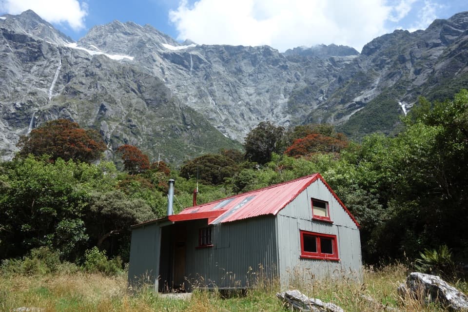
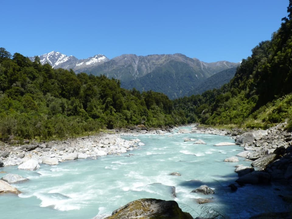
The first half is a mix of forest track, rocky riverbed and occasional grassy clearings. Expect sections of boulder hopping rather than a smooth path, and several stream crossings; some are unbridged. Rocks get slippery after rain or frost. Architect Creek Hut is roughly halfway and has two bunks, heating, mattresses, a non-flush toilet and untreated tap water. It is first come, first served, so it’s a useful place to break the walk but not a guaranteed bed.

Architect Creek to Welcome FlatBeyond the hut, the valley narrows and the track climbs gently toward Palaver Creek.

Beyond the hut, the valley narrows and the track climbs gently toward Palaver Creek. The climb is more noticeable after Open Creek. About 30 minutes above Architect Creek, you pass a signposted active landslide; another no-stopping zone lies just after the Shiels Creek bridge. Move through both without lingering, and take extra care during and just after heavy rain. After the bridge, the track zigzags to its high point, then drops through forest and opens at Welcome Flat Hut. It is an intermediate tramp that calls for good fitness and river-crossing experience.

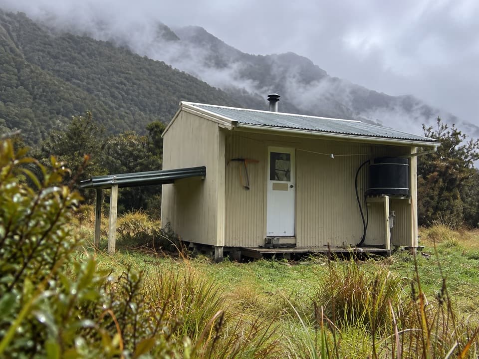
Stay for the poolsWelcome Flat Hut is a serviced 31-bunk hut with mattresses, heating, a non-flush toilet and…

Welcome Flat Hut is a serviced 31-bunk hut with mattresses, heating, a non-flush toilet and untreated tap water; boil the water before drinking it. Bookings are required year round. Carry food for the whole trip and extra in case you’re delayed. The natural hot pools are a short stroll from the hut, with views toward the Sierra Range on a clear day. They’re fragile: don’t use soap or shampoo, don’t dig new pools, and keep your head above water because of the risk of amoebic meningitis.

A track built for touristsThe route was built between about 1901 and 1913 to link the West Coast with The Hermitage at…

The route was built between about 1901 and 1913 to link the West Coast with The Hermitage at Aoraki/Mount Cook. High rainfall, alpine weather, floods and landslides repeatedly slowed or damaged the work; the early rough bush route was later widened into a pack track. Workers found the Welcome Flat hot pools while building it, and the pools helped make this one of the region’s early tourist routes.

Forest that changes as you climbSouthern rātā dominates the lower valley and flowers red in summer.

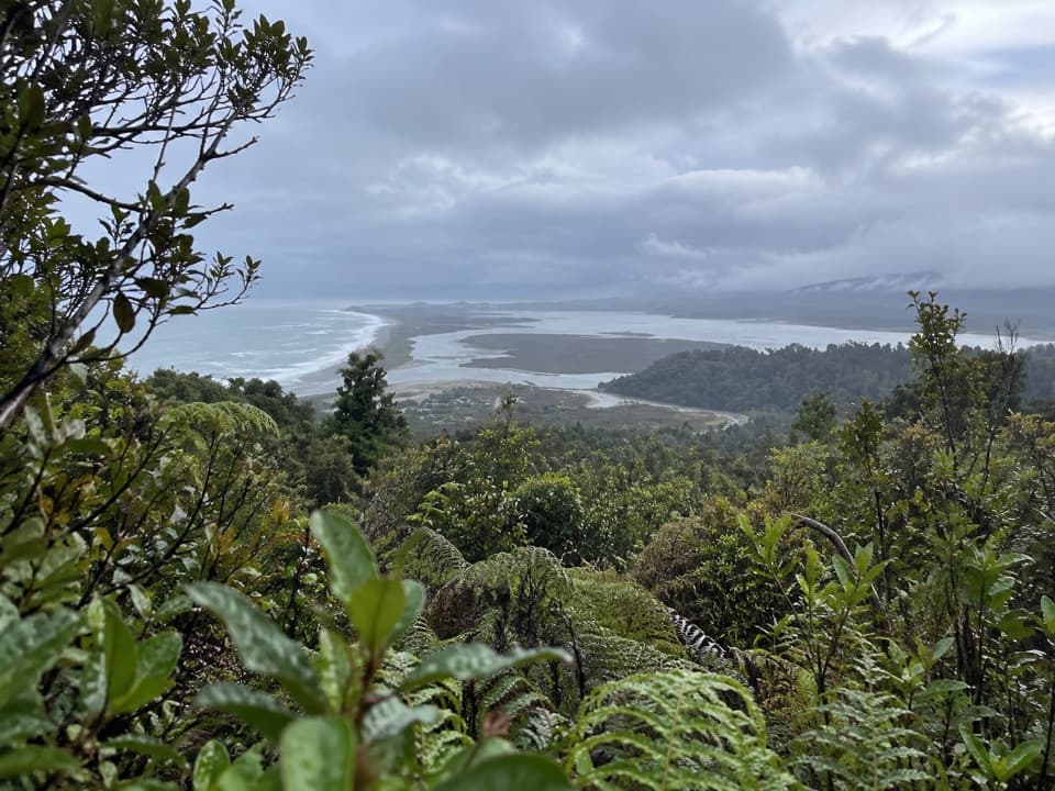
Southern rātā dominates the lower valley and flowers red in summer. Higher up, tree daisies and dracophyllum give way to alpine tussock and native herbs. Possum control since the 1980s has helped keep this forest in better shape than nearby valleys. Kea may be around Welcome Flat; fantails, tūī, tomtits, bellbirds and grey warblers are among the native birds recorded here, though sightings are never guaranteed.

Before you set outStreams can flood at any time of year, and heavy rain can make the Copland River and side…

Streams can flood at any time of year, and heavy rain can make the Copland River and side streams impassable or close the track at short notice. Don’t start in severe weather or when heavy rain is forecast; check the current track notices before leaving. If Rough Creek is unsafe when you return, don’t cross it—use the flood bridge upstream. Avalanche conditions can threaten parts of the track in winter, especially late winter and spring. Dogs are not allowed.

Wildlife

Wildlife in Westland Tai Poutini

All Westland Tai Poutini wildlife maps

Sighting maps show where each species has been reported across Westland Tai Poutini. Wildlife moves, so no sighting is guaranteed.

Keep exploring

Near Copland Track to Welcome Flat Hut

See it all on the map

Trails that start nearby

Places near the trailhead

Parkwolf’s Westland Tai Poutini ranking

Top-rated trails in Westland Tai Poutini

All 31 trails
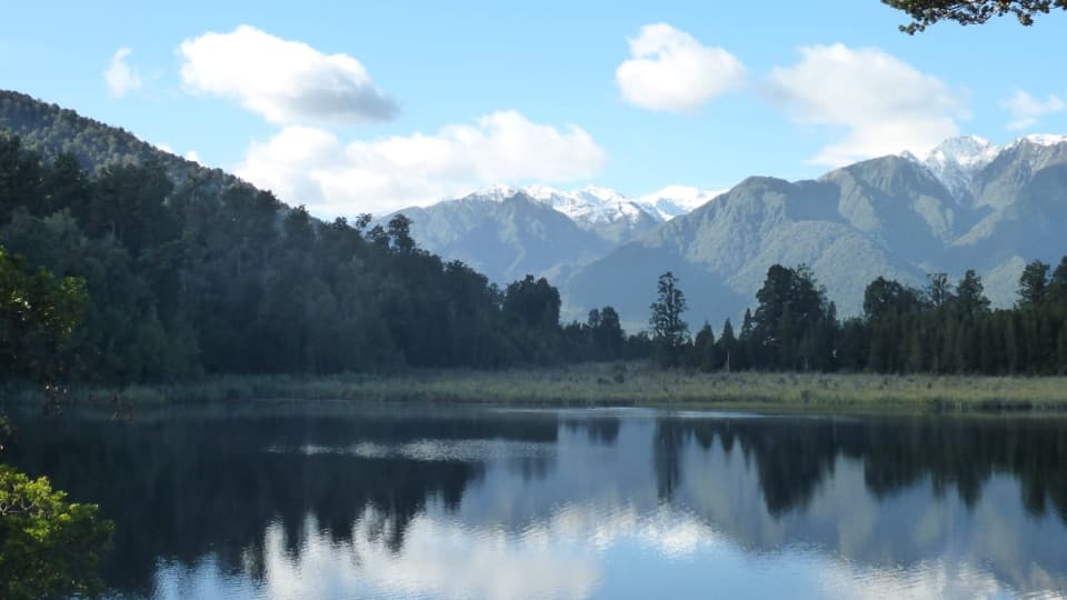
  1. 1Lake Matheson/Te Ara Kairaumati WalkEasy · 4.4 km
  2. 2Roberts Point TrackChallenging · 12.3 km
  3. 4Alex Knob TrackChallenging · 17.2 km
  4. 5Ōkārito Trig WalkModerate · 4.2 km
  5. 6Fox Glacier South Side Walkway/CyclewayEasy · 6.4 km
  6. 7Lake Gault TrackModerate · 8 km

Take Parkwolf to Westland Tai Poutini.

The audio tour guide for the drive, plus offline maps, trails, and wildlife heatmaps for when the signal drops.

4.7 from 8,600+ ratings

Download Parkwolf on the App StoreGet Parkwolf on Google Play