Place · 7.8 mi away
Challenging

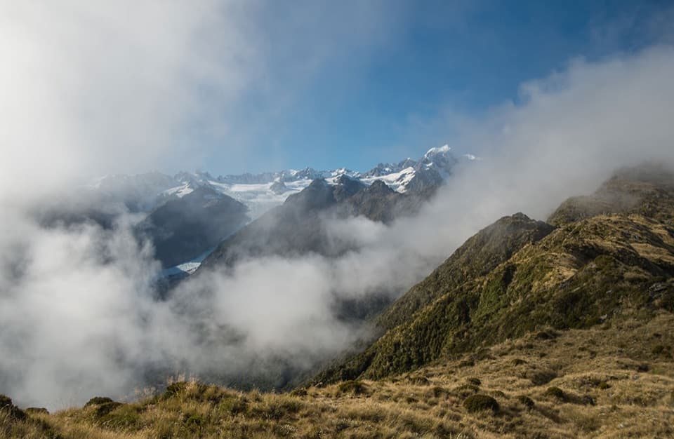
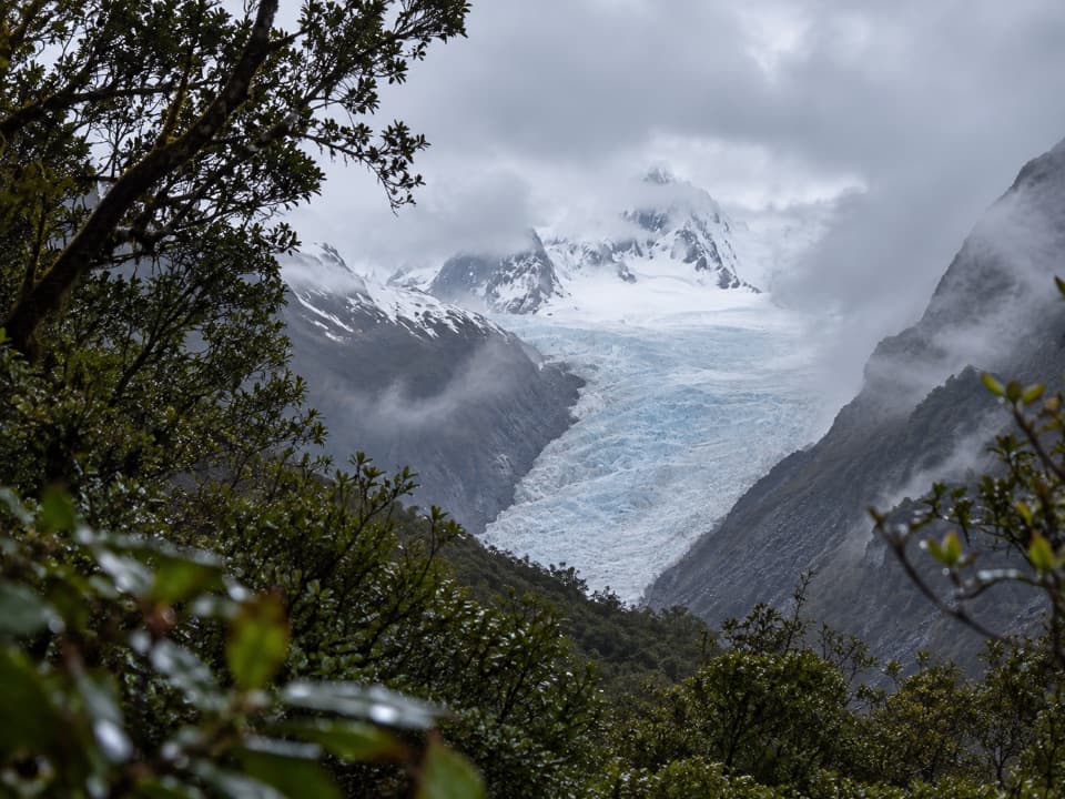
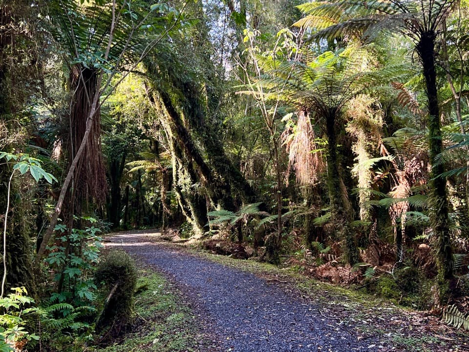
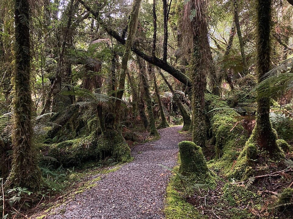
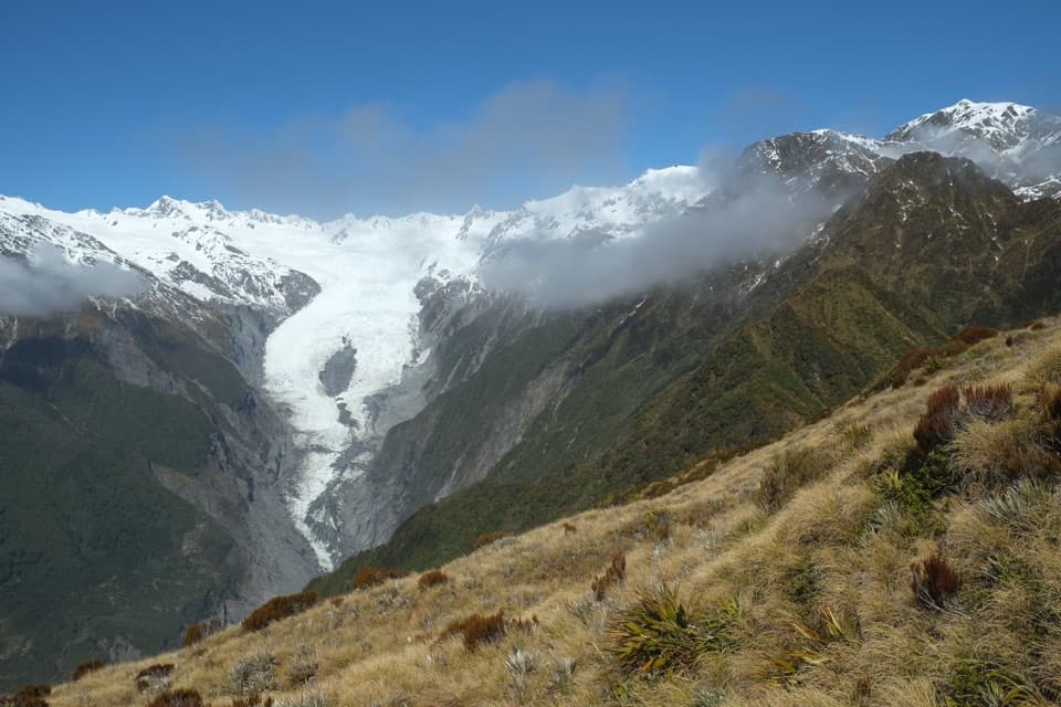
This is the rough, remote continuation of the Copland Track beyond Welcome Flat Hut, heading 7 km (about 4.4 miles) one way to Douglas Rock Hut. It’s a backcountry route for experienced, well‑equipped trampers, not a casual walk. Expect grassy river flats, intermittent low forest, slips, swing bridges, and big scenery up-valley toward the high peaks.
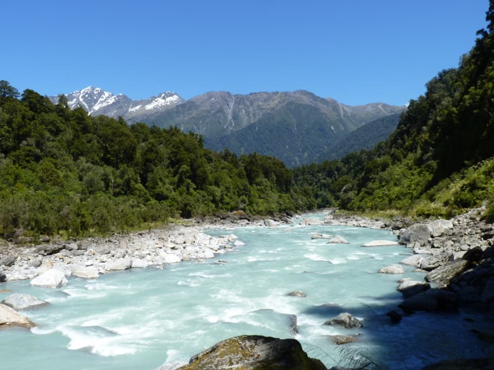
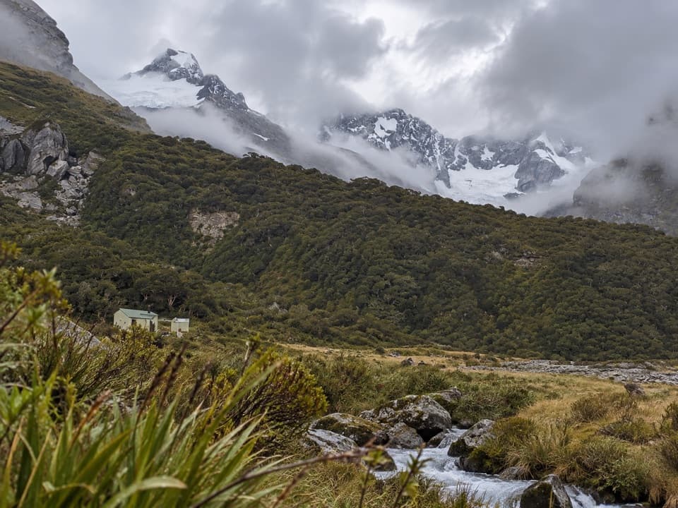
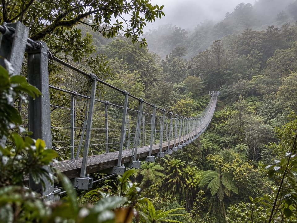
From Welcome Flat Hut, cross the suspension bridge to the true left of the Copland River and follow open river flats with intermittent forest sections and views toward the Ruera Valley, the Navigator Range, Mount Sefton, and The Footstool. You’ll cross Scott Creek—which can be hazardous in or after rain—then climb above an upper gorge with open slips to the swing bridge over Tekano Creek beside Douglas Rock Hut. DOC time for Welcome Flat to Douglas Rock is about 3 hours one way (plan for 2–3 depending on conditions). Beyond the hut, a marked, cairned and poled alpine route continues toward an alpine basin below Copland Pass; it is not a formed walking track.
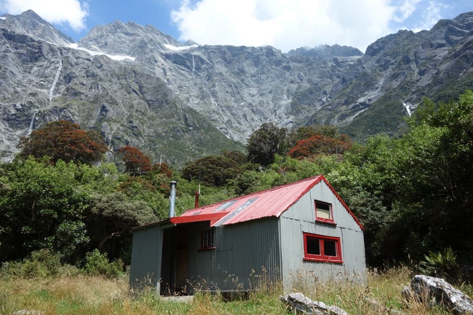
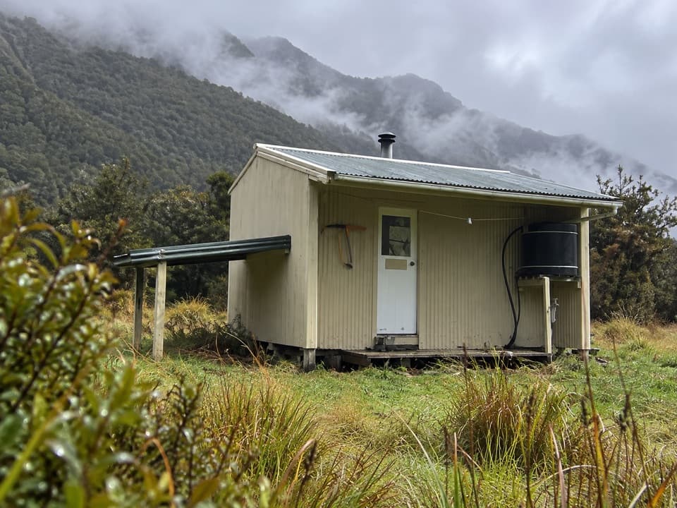
Douglas Rock Hut is a basic 8‑bunk hut with expansive views in clear weather. There’s no heating or cooking gear—carry your own stove and be ready for a cold night even in summer. Many parties base at Welcome Flat Hut (with the famous hot pools nearby) and day-trip the upper valley when rivers are low and weather settled.
This valley is dynamic. Unbridged side streams (especially Scott Creek) can become impassable quickly after rain. Slips, rockfall zones, and flooded river sections are real risks year‑round. Avalanche hazard rises through winter and spring in the upper valley and can linger outside those seasons. The marked route above Douglas Rock enters true alpine terrain. Do not attempt to reach or cross Copland Pass unless you have high‑level mountaineering skills and equipment; several fatalities have occurred, and access on the eastern side is severely eroded.
Summer and early autumn offer the most reliable conditions. Even then, start early for firmer morning river levels, watch the forecast closely, and be prepared to turn back. In poor weather or after heavy rain, this trip is not worth the risk.
Most parties reach Welcome Flat Hut first (18 km, ~7 hours from the car park) and continue to Douglas Rock as a long day or on day two. Carry a PLB, topo maps/GPS, warm layers, waterproofs, and extra food in case you need to wait out high water. Sandflies are persistent; bring repellent and cover up around the pools and huts.
Park at the Copland Track road end off SH6, about 26 km south of Fox Glacier; well‑signposted car park. Kea frequent the area—secure vehicles and don’t leave valuables. No camping at the road end.
Rivers and side streams can flood any time; Scott Creek is a key hazard. Expect slips, rockfall zones, and avalanche risk in the upper valley. The route above Douglas Rock is alpine only; do not attempt Copland Pass without advanced mountaineering skills and equipment.