Karangarua River Valley Route to Christmas Flat in Westland Tai Poutini National Park

Westland Tai Poutini National Park, WC

Karangarua River Valley Route to Christmas Flat

Three huts, rough river crossings, and a 70-metre exposed washout.

Photo: CC BY 4.0
Length
24.1km
Time
16hr
Elev. change
711m
Difficulty
Challenging
  • No dogs
  • High point 753 m

Hear the audio tour

Karangarua Valley: the Route to Christmas Flat

Overview

About Karangarua River Valley Route to Christmas Flat

Why go

  • Three huts divide the one-way route into clear stages.
  • The route shifts from riverbed and forest to exposed bluff country.

Heads up

  • Allow at least two days to reach the hut; the return is extra.
  • Unbridged river crossings and a 70 m exposed washout demand expert judgment.

Map & elevation

The route

Loading the Westland Tai Poutini map
Full map
Elevation42–753 m
TrailheadKarangarua River bridge, State Highway 6-43.57506, 169.80540
Keep this map with you offline in the Parkwolf app

Plan your hike

Before you go

Parking

Small parking area on the southern, true-left side of the Karangarua River bridge on State Highway 6, about 26 km south of Fox Glacier/Weheka. The marked route begins across the highway. Christmas Flat Hut has no road access; plan a return or separately verify an onward route.

Safety

Flooding can occur at any time. Do not cross flooded rivers or side streams. Expect slippery stream crossings, steep exposed bluffs and a washout with about 70 m of exposure; DOC also lists rockfall and avalanche hazards for these valleys. Water at Christmas Flat comes from a stream and must be treated. No dogs.

1 active Westland Tai Poutini alert

  • CautionActive landslide zones on Copland TrackDo not stop in either of Copland Track’s signposted active landslide zones; take extra care during and after heavy rain.Official details
Westland Tai Poutini alerts
A park ranger sits on a dash-mounted phone, talking, as Parkwolf’s Tour Guide plays “Army Cutworm Moths: A Grizzly Bear Buffet” on Grand Loop Road below Dunraven Pass in Yellowstone
Parkwolf Tour GuideThe highest, rockiest slopes around here are a summer buffet for grizzly bears.

Westland Tai Poutini Tour Guide

Your drive to Karangarua River Valley Route to Christmas Flat, narrated.

Parkwolf is a GPS audio tour guide for Westland Tai Poutini National Park. As you drive, it chimes in with what’s ahead: hidden gems, upcoming stops, history, geology, and wildlife, right through your car’s speakers.

See the Westland Tai Poutini audio tour

Recorded for this trailhead

Karangarua Valley: the Route to Christmas Flat
0:00 / 0:26
“You're approaching the Karangarua River bridge, where the route to Christmas Flat Hut begins.”

Plays as you drive up to this trailhead in the Parkwolf Westland Tai Poutini Tour Guide.

More stories near here in the app

  • Copland Track Access: the Walk to Welcome Flat
  • Plants Perched in Trees
  • A Sandfly's Underwater Life
  • Why Rivers Split into Braids
  • 49 audio storiesacross Westland Tai Poutini’s roads, triggered by GPS as you drive
  • Wildlife heatmapsfor Kea, Blue Duck, Kererū, and 13 more
  • Works offlinemaps, 31 trails, 53 places, and audio download before you lose signal
  • CarPlay readysimple controls built for the drive
★★★★★
“Fantastic app with many points of information… It’s great to just turn on while you’re driving and it gives you an audio tour of the national Park. We love it!!!!”
JMJamesApp Store review
Download Parkwolf on the App StoreGet Parkwolf on Google Play

4.7 from 8,600+ ratings

Trail guide

Hiking Karangarua River Valley Route to Christmas Flat

A serious trip, one wayKarangarua River Valley Route to Christmas Flat is about 15 miles (24 km) one way, from the…

Karangarua River Valley Route to Christmas Flat is about 15 miles (24 km) one way, from the Karangarua River bridge on State Highway 6 to Christmas Flat Hut. The hut has no road access. The three stages are timed at 6, 7 and 3 hours, or 16 hours of walking, and the trip is listed as two days or more. This page covers the route to the hut; plan a return by the same line or verify an onward route before you set off. It suits well-equipped trampers with high-level backcountry navigation and survival skills. Summer and autumn are preferred, but rivers can flood at any time.

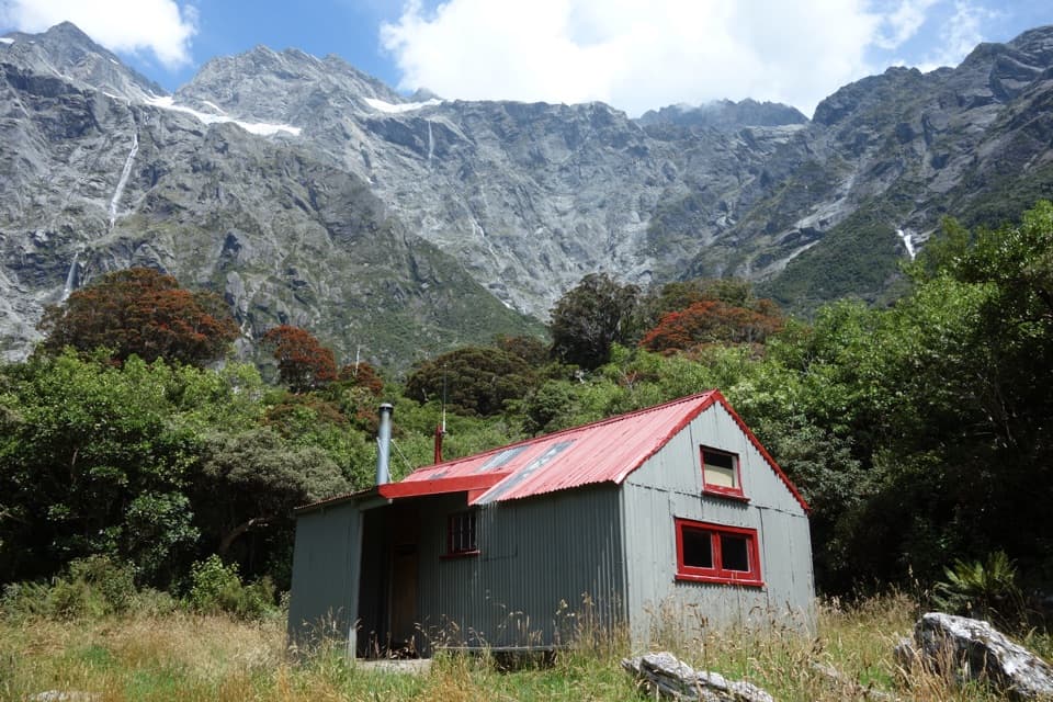
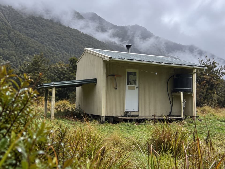
Cassel Flat, Lame Duck and Christmas Flat are small standard huts with six, four and four bunks. Hut tickets are required before an overnight stay; Christmas Flat is first-come, with no booking. Dogs aren't allowed.

Bridge to Cassel FlatThe first stage takes about six hours.

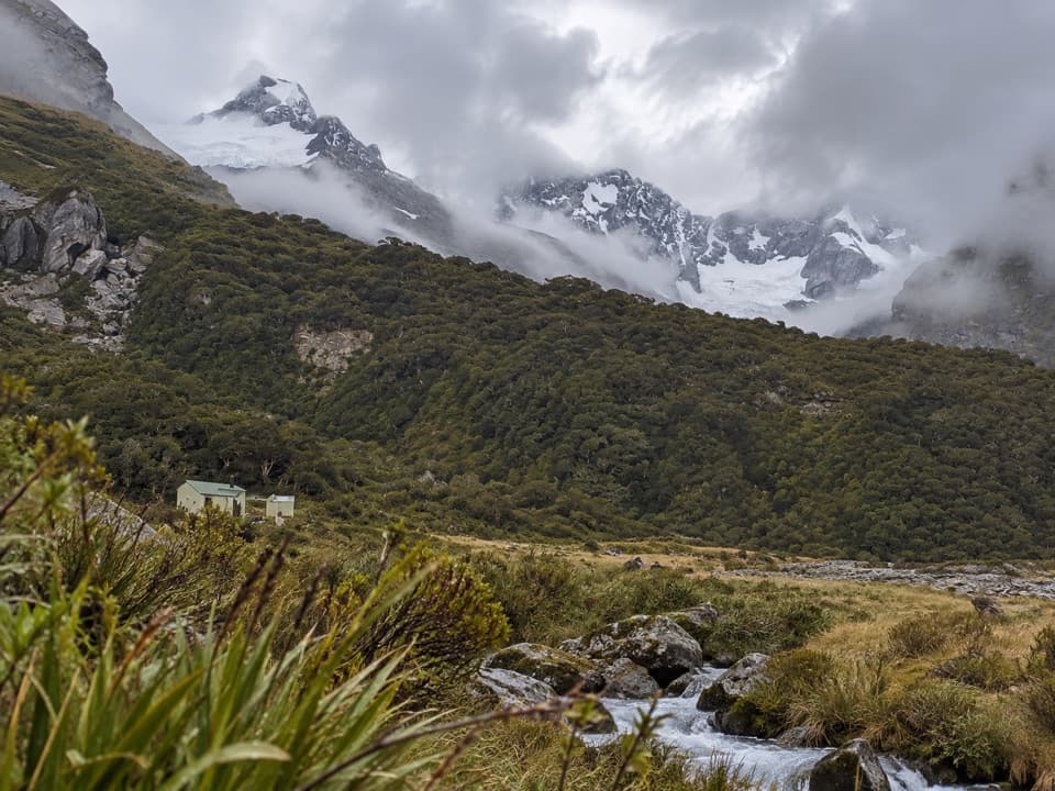
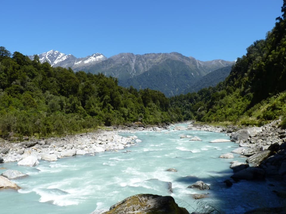
The first stage takes about six hours. From the small parking area beside the bridge, cross the highway and follow the true-left side of the Karangarua River, mostly along the riverbed. After about an hour, orange markers lead into bush from a large grassy flat near the Karangarua–Copland junction. The route then alternates between flood channels, bush, boulders and grass flats before reaching Cassel Flat Hut. Much of the approach is riverbed rather than a built track, so the markers and river channels matter.

Cassel to Lame DuckAllow seven hours for this stage.

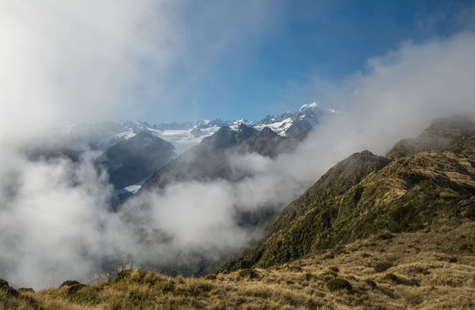
Allow seven hours for this stage. Follow the river to Tui Creek, then climb steeply from a scrubby face to a prominent ridge above the bluffs. The route sidles higher through more bluffs. It's less defined here, though markers continue to show the way. Watch your footing at exposed, slippery stream crossings and at a washout about two-thirds along the sidle, where the exposure is around 70 metres. The route then crosses poorly drained terraces above the river before rejoining it below Lame Duck Flat and the four-bunk hut.

Lame Duck to Christmas FlatThe final stage takes about three hours.

The final stage takes about three hours. Markers lead through beech beside the river for about 20 minutes, then climb roughly 100 metres to an old open slip. The route stays near that height to a prominent rātā about 50 metres above the river, then descends to the water. Cross the Karangarua River, recross to get around a bluff, and cross the Troyte River. The approach continues along a terrace, climbs about 50 metres to a grassy slip, then drops toward the river and enters bush for the last stretch to Christmas Flat Hut. The mapped line ends about 150 metres from the hut's official point; follow the markers through the final approach.

Forest in the valleyThe beech stand on the south bank below the Troyte confluence is a special one: it marks the…

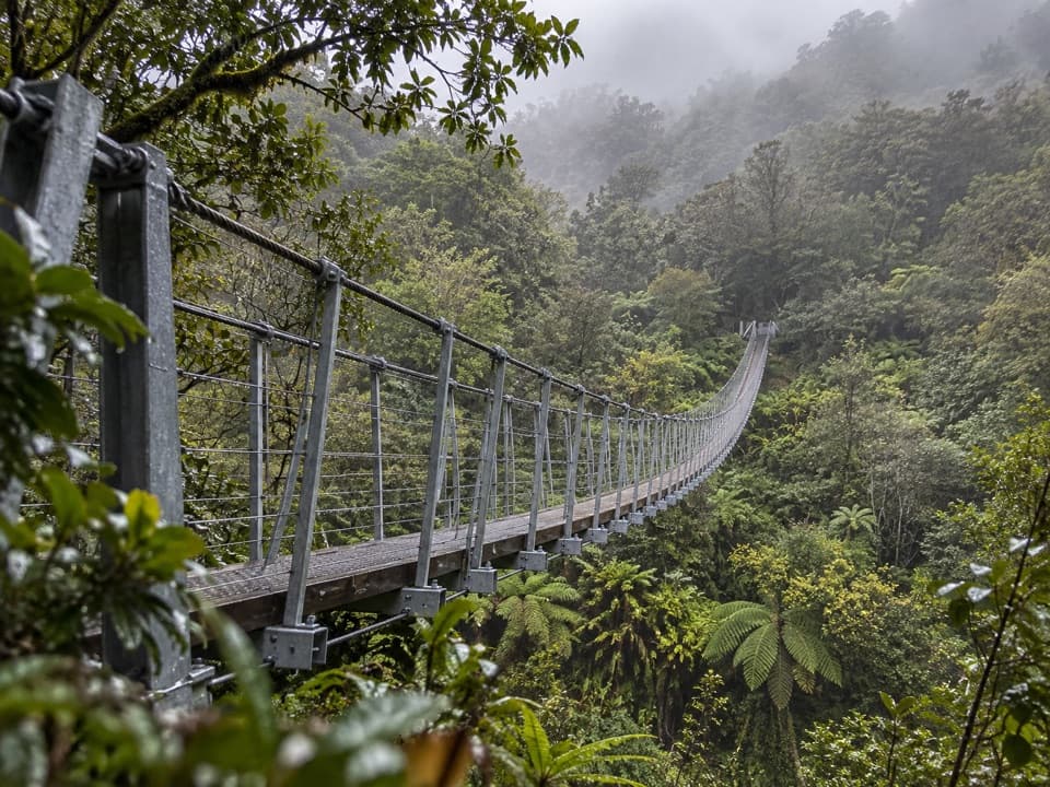
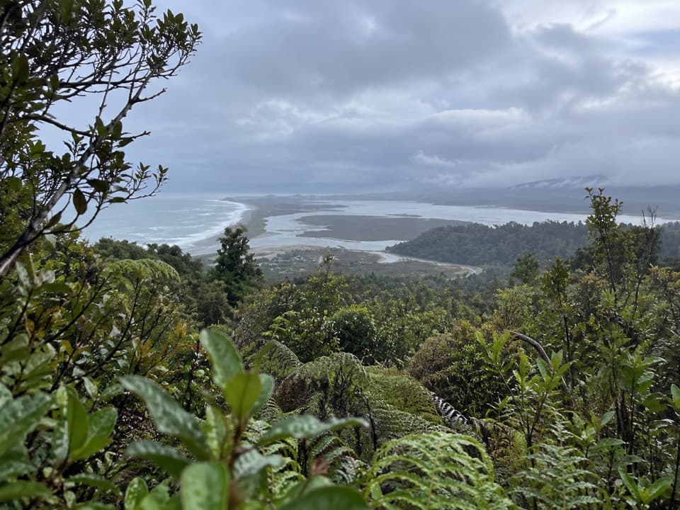
The beech stand on the south bank below the Troyte confluence is a special one: it marks the northernmost patches at the southern end of the Westland beech gap. Lower forest is mostly rimu, kāmahi and tree ferns, with southern rātā and Hall's tōtara in the higher montane forest. The prominent rātā above the river is also a useful landmark on the last stage. Deer occur year-round, and tahr are found on the higher steep faces, though sightings aren't guaranteed.

Wildlife

Wildlife in Westland Tai Poutini

All Westland Tai Poutini wildlife maps

Sighting maps show where each species has been reported across Westland Tai Poutini. Wildlife moves, so no sighting is guaranteed.

Keep exploring

Near Karangarua River Valley Route to Christmas Flat

See it all on the map

Trails that start nearby

Places near the trailhead

Parkwolf’s Westland Tai Poutini ranking

Top-rated trails in Westland Tai Poutini

All 31 trails
  1. 1Lake Matheson/Te Ara Kairaumati WalkEasy · 4.4 km
  2. 2Roberts Point TrackChallenging · 12.3 km
  3. 3Copland Track to Welcome Flat HutChallenging · 36 km
  4. 4Alex Knob TrackChallenging · 17.2 km
  5. 5Ōkārito Trig WalkModerate · 4.2 km
  6. 6Fox Glacier South Side Walkway/CyclewayEasy · 6.4 km

Take Parkwolf to Westland Tai Poutini.

The audio tour guide for the drive, plus offline maps, trails, and wildlife heatmaps for when the signal drops.

4.7 from 8,600+ ratings

Download Parkwolf on the App StoreGet Parkwolf on Google Play