1 active Wilsons Promontory alert
- ClosureStockyard and Big Drift closuresBig Drift Walk, Stockyard car park, Stockyard Campground and the Stockyard Toilet Block are closed.Official details
Sight · Wilsons Promontory National Park
A roadside pause for rugged coast and the offshore islands.
Overview
Map
Plan your stop

The highest, rockiest slopes around here are a summer buffet for grizzly bears.
Wilsons Promontory Tour Guide
Parkwolf is a GPS audio tour guide for Wilsons Promontory National Park. As you drive, it chimes in with what’s ahead: hidden gems, upcoming stops, history, geology, and wildlife, right through your car’s speakers.
Recorded for this place
Norman and Glennie Lookouts“Up ahead are Norman and Glennie Lookouts, two roadside stops for coastal views without a hike. A few minutes is enough to take in the headlands and offshore islands. At Norman, pick out Picnic Bay and Leonard Point.”
Plays as you drive up to Glennie Lookout in the Parkwolf Wilsons Promontory Tour Guide.
More stories near here in the app
“Fantastic app with many points of information… It’s great to just turn on while you’re driving and it gives you an audio tour of the national Park. We love it!!!!”


Guide
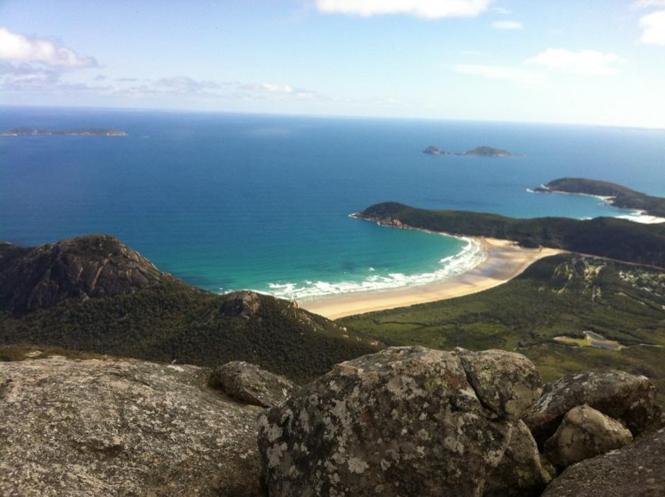
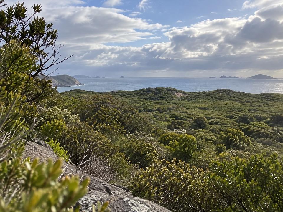
Glennie Lookout is a roadside viewpoint on the drive into Tidal River, looking over Wilsons Promontory’s rugged coastline. If you’re passing, a few minutes is enough to take in the open water and offshore Glennie Islands.
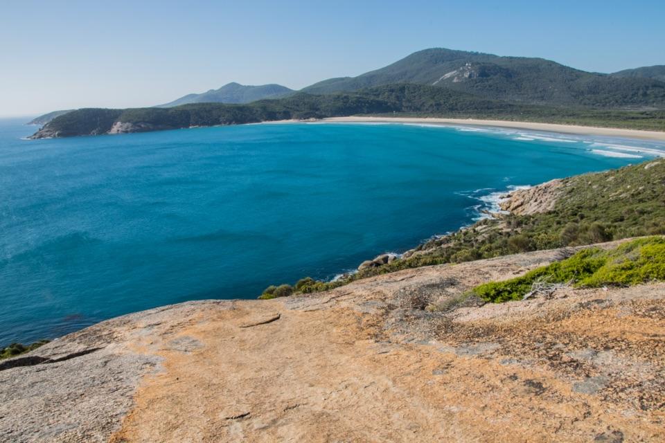
The view is broad rather than close-up: low coastal scrub in the foreground, headlands tracing the shoreline and islands beyond. The sweep of coast and sea is the attraction here.
The sun sets across the offshore islands. If the timing suits your drive, include the headlands and islands together in the frame to show their place along the coast.
Wildlife
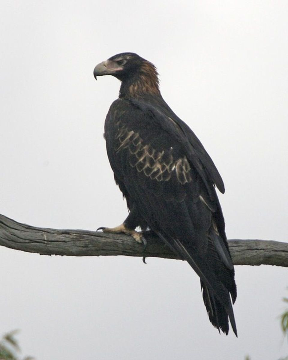 19 sightingsWedge-tailed EagleMost seen around 11 AMSighting map
 30 sightingsKoalaMost seen around 6 PMSighting map
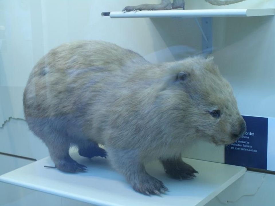 812 sightingsBare-nosed WombatMost seen around 6 PMSighting map
 311 sightingsEastern Grey KangarooMost seen around 7 AMSighting map
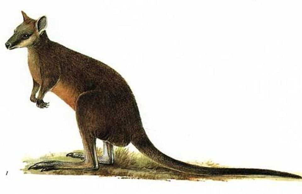 543 sightingsSwamp WallabyMost seen around 6 PMSighting map
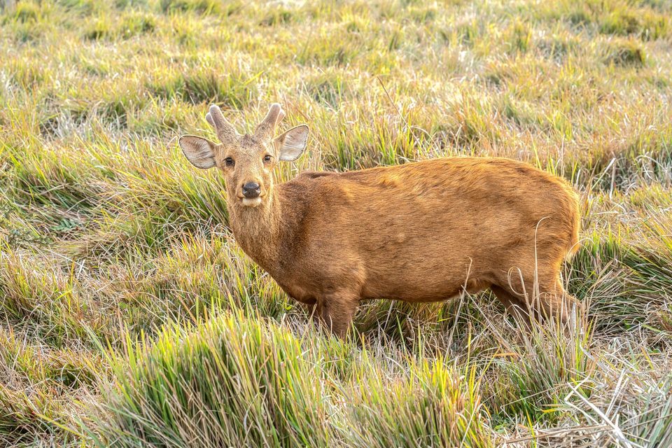 20 sightingsIndochinese Hog DeerMost seen around 7 AMSighting map
Sighting maps show where each species has been reported across Wilsons Promontory. Wildlife moves, so no sighting is guaranteed.
Keep exploring
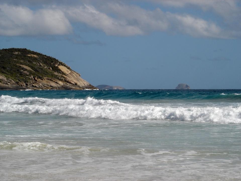 ModeratePicnic Bay Walk3.3 km · 1.5 hr · 0.8 km awayRock pools and granite headlands on a short coastal return.
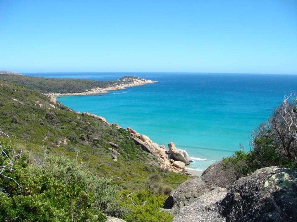 ModerateTongue Point from Darby Saddle11.2 km · 5 hr · 1.7 km awayA long coastal climb ending among Tongue Point’s weathered granite.
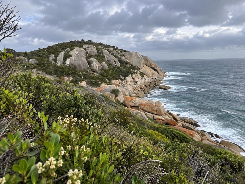 ModerateDarby Saddle to Sparkes Lookout Walk4.8 km · 1.8 hr · 1.7 km awayA broad coastal view before the longer Tongue Point walk.
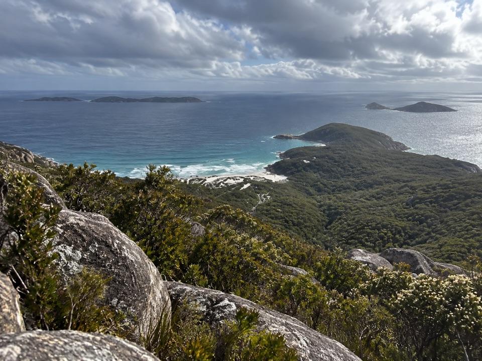 ModerateMount Bishop Summit Walk7.4 km · 2.5 hr · 1.9 km awayGranite summit rocks frame a broad view over beaches and islands.
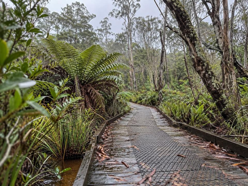 ModerateLilly Pilly Gully Circuit Walk5.8 km · 2 hr · 1.9 km awayA forest loop that trades stringybark slopes for rainforest.
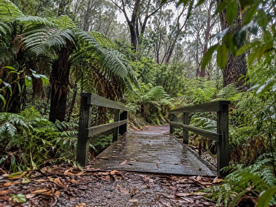 EasyLilly Pilly Gully Nature Walk5.2 km · 1.5 hr · 1.9 km awayA shady boardwalk stroll into the Prom's rainforest interior.
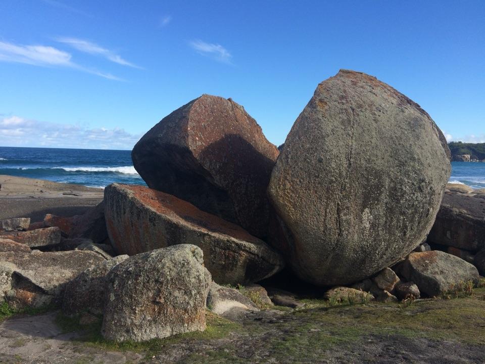 ModerateSqueaky Beach Walk4.2 km · 1.5 hr · 2 km awayA headland climb to squeaking sand and granite boulders.
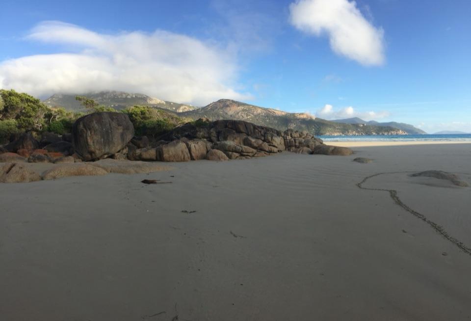 ModerateTidal Overlook Circuit3.8 km · 1.5 hr · 2.1 km awayA 3.8 km loop to broad coastal views above Norman Bay.
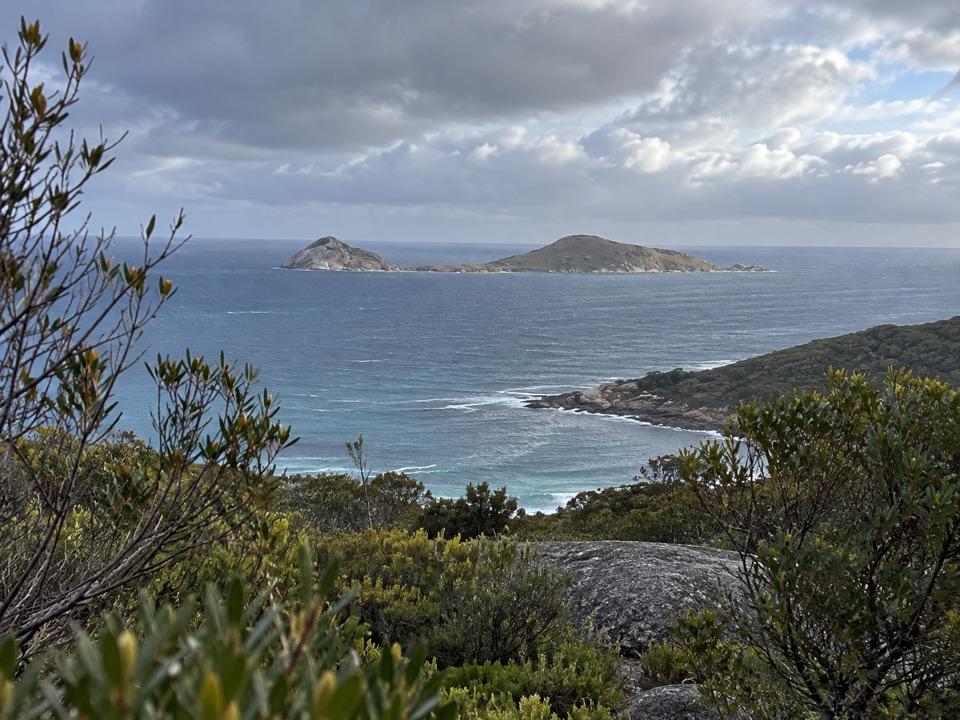 Sight · 0.2 km awayNorman LookoutIsland views without a hike on the way to Tidal River.Beach · 0.7 km awayPicnic BayA short, steep path drops to tide pools and an island-view lookout.
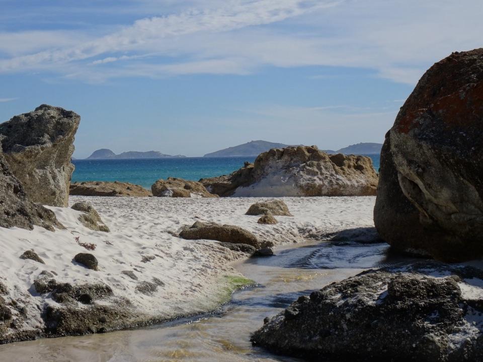 Beach · 0.9 km awayWhisky BayWalk through dunes to a beach framed by granite boulders.Beach · 1.1 km awaySqueaky BeachA squeaking quartz shore, hemmed in by granite boulders.
 Sight · 1.7 km awayTidal OverlookA rocky circuit with far-reaching views across the bays.
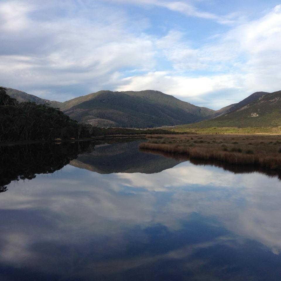 Sight · 1.7 km awayMount BishopA rocky summit, with Squeaky Beach and islands spread below.
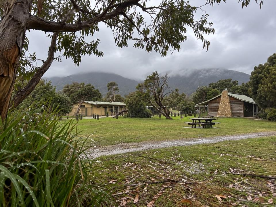 Lodging · 2.2 km awayTidal River AccommodationRoofed stays at the hub, with Norman Beach a short walk away.
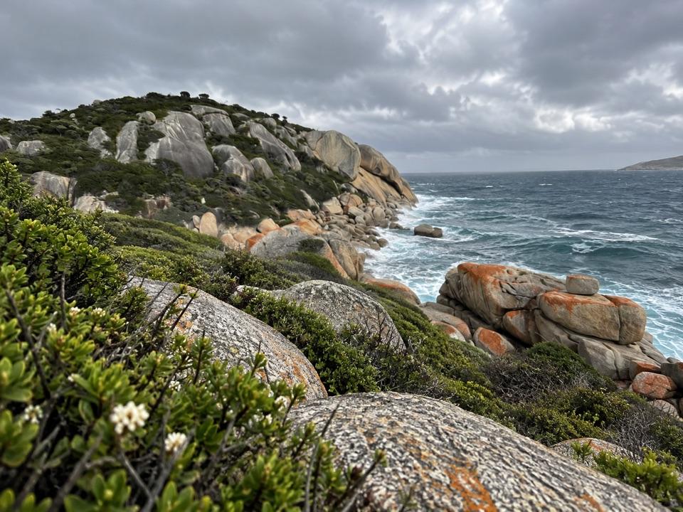 Sight · 2.3 km awaySparkes LookoutA forest climb to coastal views of Rodondo Island and Shallow Inlet.
Parkwolf’s Wilsons Promontory ranking

The audio tour guide for the drive, plus offline maps, trails, and wildlife heatmaps for when the signal drops.