Parking
Start at Telegraph Saddle Carpark. During seasonal shuttle periods, reach the saddle from Tidal River or the Overnight Hikers car park; the saddle lot closes to other vehicles while the shuttle runs.
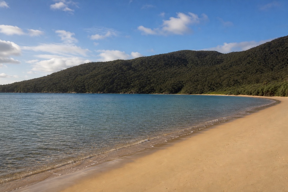
#2 of 36 trails in Wilsons Promontory
Wilsons Promontory National Park, VIC
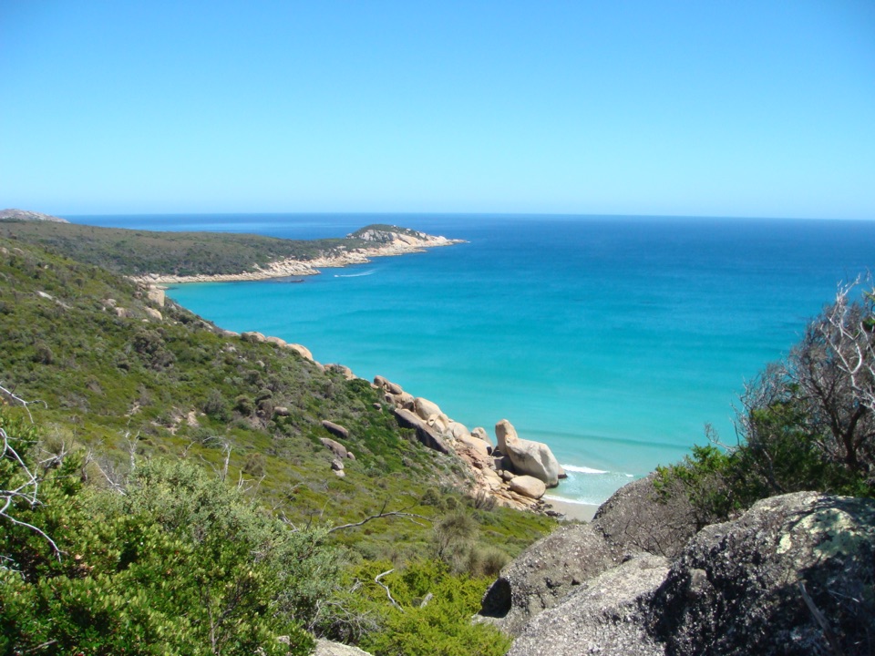
Ferny climbs open onto three sheltered coves on the east coast.
Overview
Map & elevation
Plan your hike

The highest, rockiest slopes around here are a summer buffet for grizzly bears.
Wilsons Promontory Tour Guide
Parkwolf is a GPS audio tour guide for Wilsons Promontory National Park. As you drive, it chimes in with what’s ahead: hidden gems, upcoming stops, history, geology, and wildlife, right through your car’s speakers.
Recorded for this trailhead
Sealers Cove from Telegraph Saddle“You're nearing the Telegraph Saddle trailhead for Sealers Cove; the beach itself is ten kilometres away on foot.”
Plays as you drive up to this trailhead in the Parkwolf Wilsons Promontory Tour Guide.
More stories near here in the app
“Fantastic app with many points of information… It’s great to just turn on while you’re driving and it gives you an audio tour of the national Park. We love it!!!!”


Trail guide
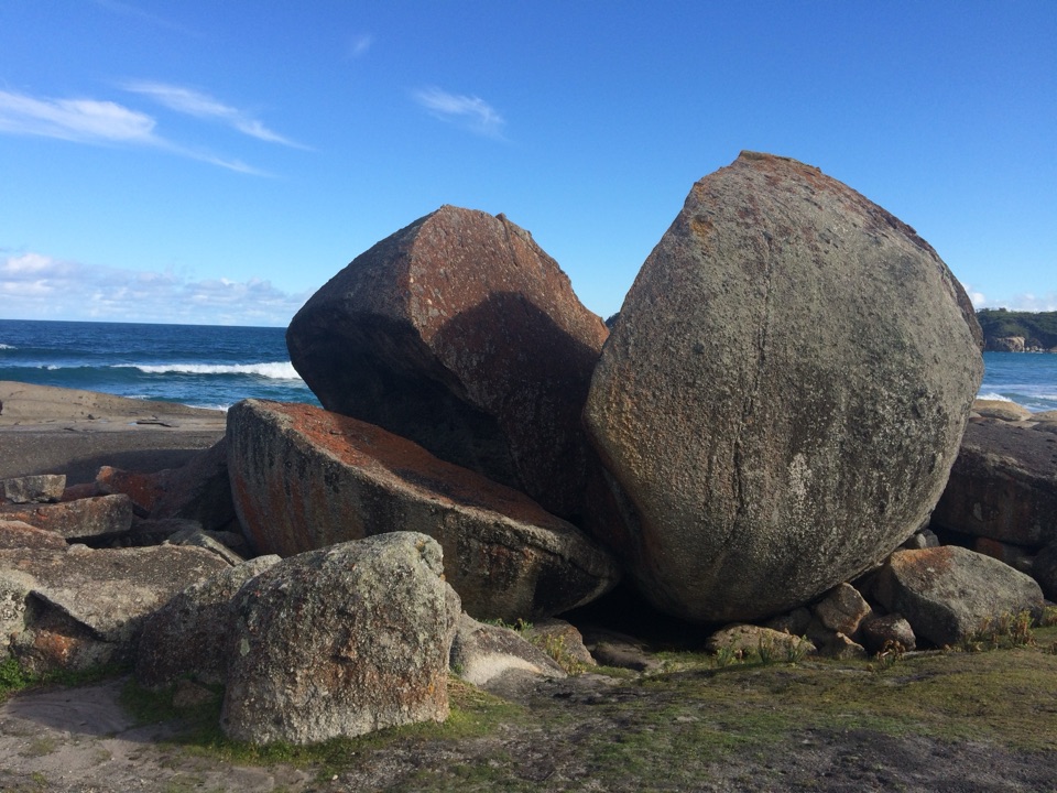
The Southern Prom Circuit is a 35.5 km (22.1 mi) loop from Telegraph Saddle, crossing temperate forest and wetland before visiting Sealers Cove, Refuge Cove and Little Waterloo Bay. It is a three-day backcountry walk with two booked camping nights, built around remote beaches rather than a quick coastal stroll. This mapped version takes the short Kersops Peak detour before descending toward Waterloo Bay; skipping that spur makes the walk shorter. The longer Lightstation route is a separate extension, so this circuit turns inland at Little Waterloo Bay. The days are uneven: the map places the first night at Sealers Cove, the second at Waterloo Bay, then returns to Telegraph Saddle, leaving the coast-to-coast middle stage as the longest day.
The first stage climbs steadily toward Windy Saddle, then drops through ferny forest to Sealers Cove. Near the bay, an elevated timber boardwalk runs for about 1.8 km above wetland, keeping hikers out of fragile swamp vegetation. The final approach opens onto pale sand and the shoreline camp, the first overnight stop on the three-day itinerary. The climb and forest descent make a substantial first day before the more exposed coast sections. The boardwalk and open shore are the route's clearest photo stops.
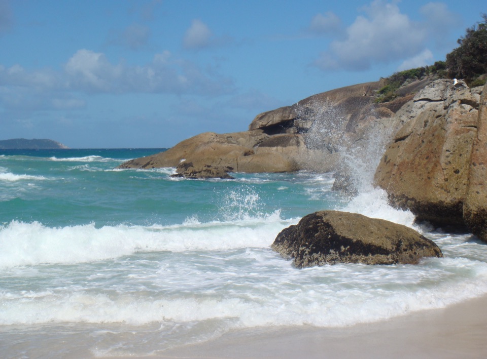
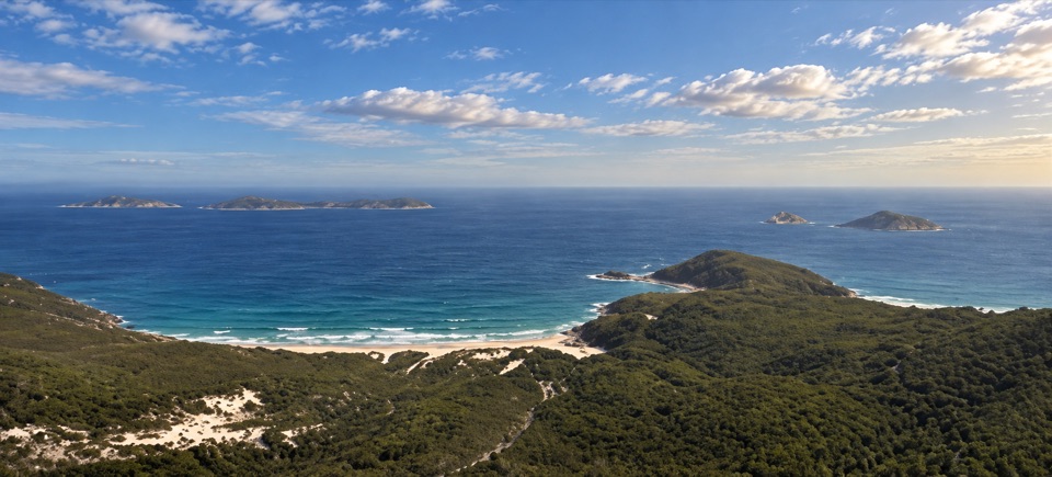
From Sealers, the route follows rugged coast toward Refuge Cove, with views opening between forested stretches. Beyond Refuge, it climbs steeply around a rocky headland through stringybark forest. A short marked spur reaches Kersops Peak before the descent to North Waterloo Bay; the selected 35.5 km itinerary includes this climb. Continue along the sand to the beach's southern end, then cross a granite headland to Little Waterloo Bay. These are steep, uneven Level 4 sections, not a maintained shoreline promenade. The tucked-away bays are the payoff for carrying an overnight load through the hills.
From Little Waterloo Bay, the loop threads behind shoreline dunes and swamp before joining Telegraph Track. A steady final climb returns to Telegraph Saddle. Sand slows the coastal stages, and the creek crossing at Sealers Cove can be deep at high tide, so check tide times before leaving camp. Parks Victoria grades the Southern hikes Level 4; its map's leg times add up to about 11 hours on foot, normally spread over three days. Book both overnight camps in advance, display the permit on your vehicle, and follow the two-night-per-camp and twelve-person limits. Camps have toilets, but untreated water is available only at some sites and supply is not guaranteed; carry treatment and enough water. No food service was found on the route, so pack meals for the full walk. During seasonal shuttle periods, reach Telegraph Saddle from Tidal River or the Overnight Hikers car park; the saddle lot closes to other vehicles while the shuttle runs. Ordinary pets are not permitted in Victorian national parks; assistance dogs have entry conditions.
Wildlife
 18 sightingsWedge-tailed EagleMost seen around 11 AMSighting map
 29 sightingsKoalaMost seen around 6 PMSighting map
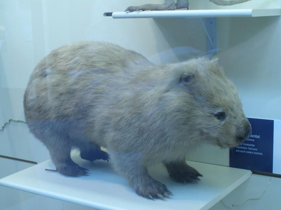 774 sightingsBare-nosed WombatMost seen around 6 PMSighting map
 291 sightingsEastern Grey KangarooMost seen around 7 AMSighting map
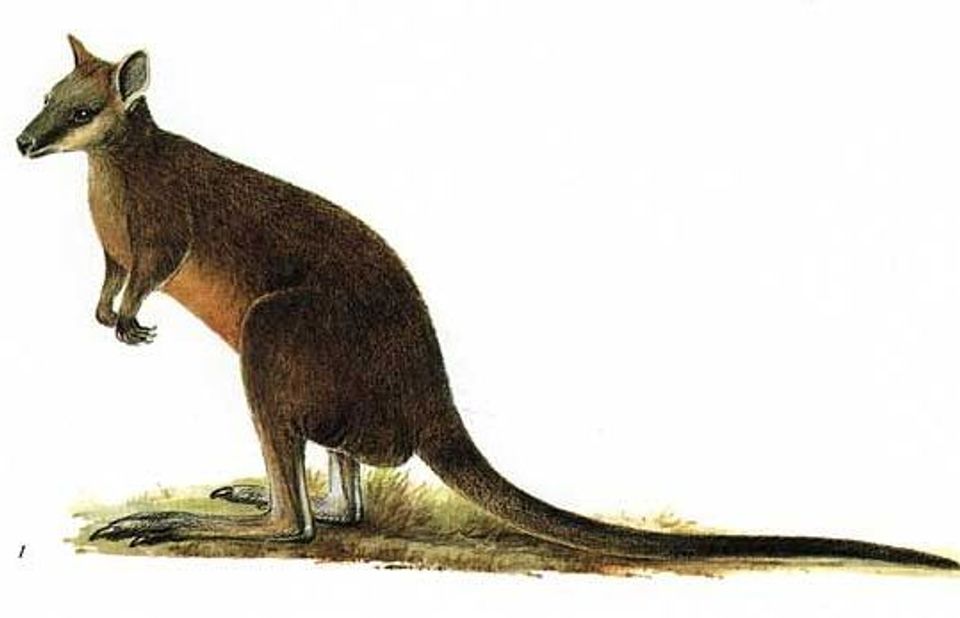 512 sightingsSwamp WallabyMost seen around 6 PMSighting map
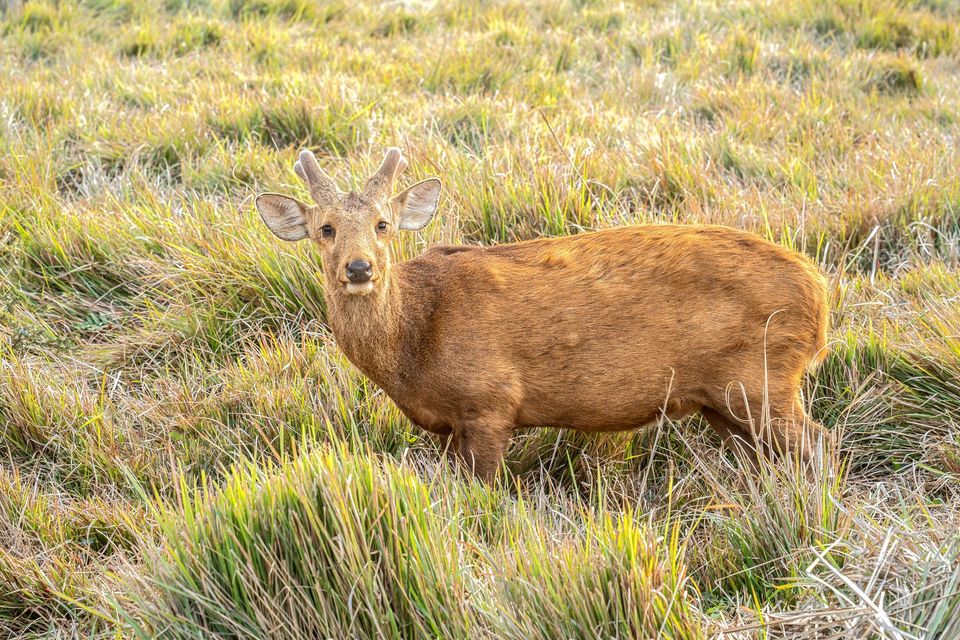 20 sightingsIndochinese Hog DeerMost seen around 7 AMSighting map
Sighting maps show where each species has been reported across Wilsons Promontory. Wildlife moves, so no sighting is guaranteed.
Keep exploring
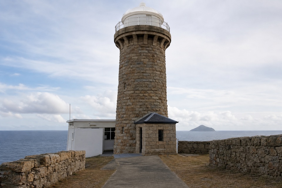 ChallengingWilsons Promontory Lightstation Walk19.1 km · 5.5 hr · At the trailheadA long forest walk ends at a lighthouse above the sea.
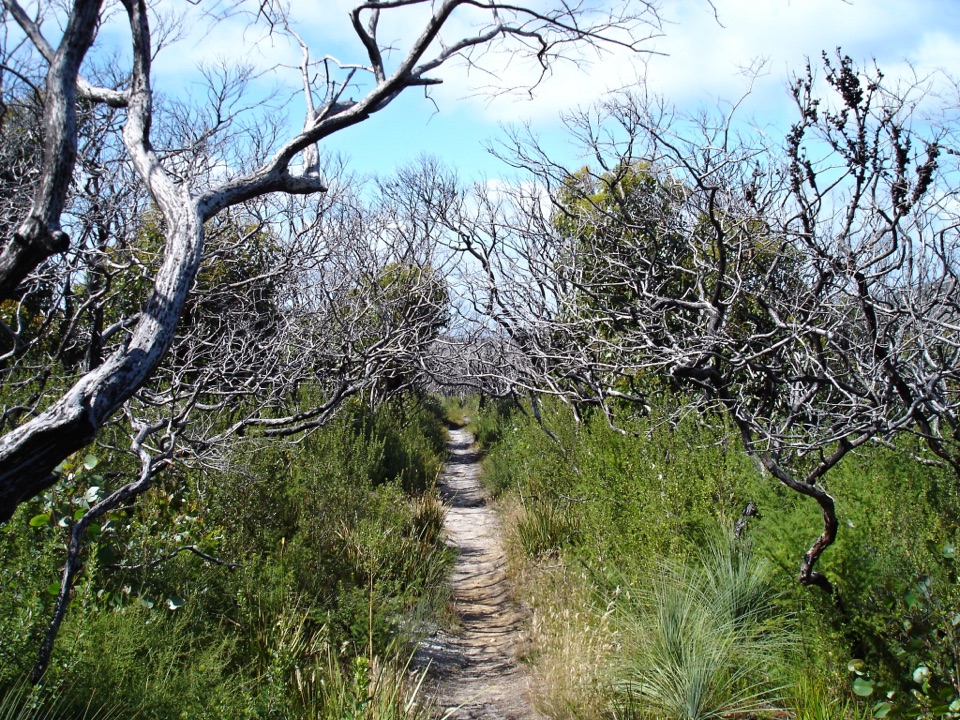 ChallengingSouthern Prom Extended Circuit58.7 km · 20 hr · At the trailheadFive days of coves, a lighthouse, and mainland South Point.
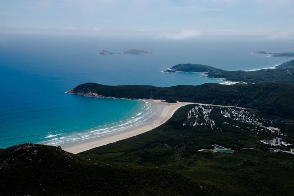 ModerateMount Oberon Summit Walk6.8 km · 2.5 hr · At the trailheadA steady gravel climb to granite with bays and Tidal River below.
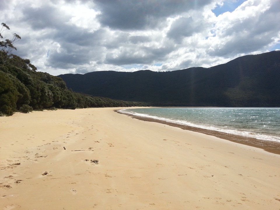 ChallengingSealers Cove Walk20 km · 6.5 hr · At the trailheadA full-day rainforest walk earns a crescent of quiet beach.
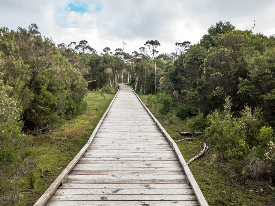 EasyLoo-Errn Track2 km · 1 hr · 2.9 km awayA gentle wetland boardwalk beside Tidal River, with four fishing platforms.
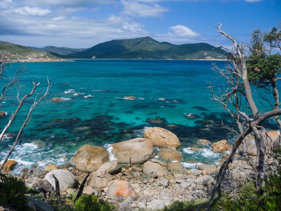 ModerateLittle Oberon Bay Walk8.2 km · 3 hr · 2.9 km awayCross Norman Beach and a granite headland for pale sand and boulders.ModerateTidal River to Oberon Bay Walk15.2 km · 5 hr · 3.1 km awayA long coastal walk ends at a remote beachside camp.
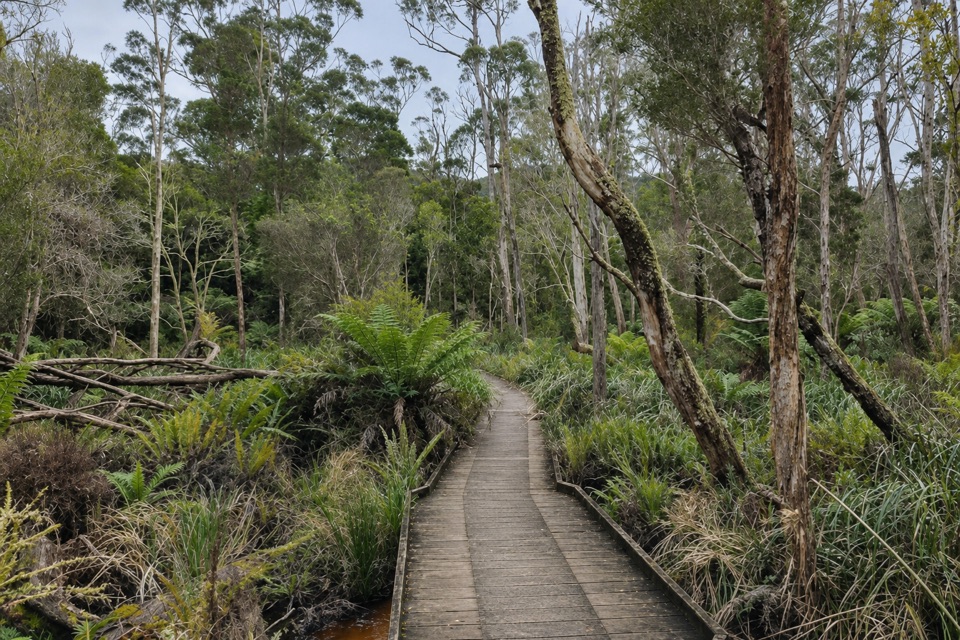 ModerateLilly Pilly Gully Circuit Walk5.8 km · 2 hr · 3.2 km awayA forest loop that trades stringybark slopes for rainforest.
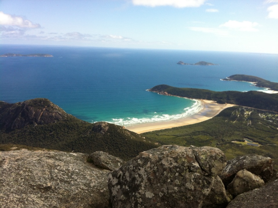 Sight · 1.3 km awayMount OberonA 558 m summit above Tidal River, bays and offshore islands.Beach · 2.9 km awayLittle Oberon BayA compact beach with clear water, reached by a proper coastal walk.
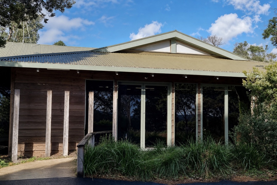 Visitor center · 2.9 km awayTidal River Visitor CentreMaps, permits and local advice make this a useful first stop.
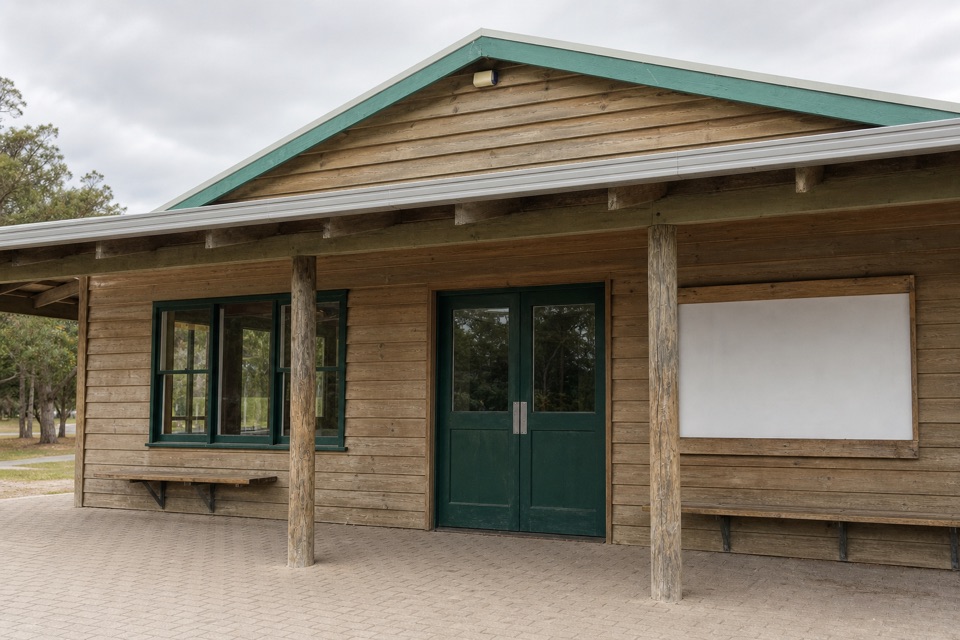 Store · 3 km awayTidal River General StoreA practical top-up and takeaway stop in the main campground.
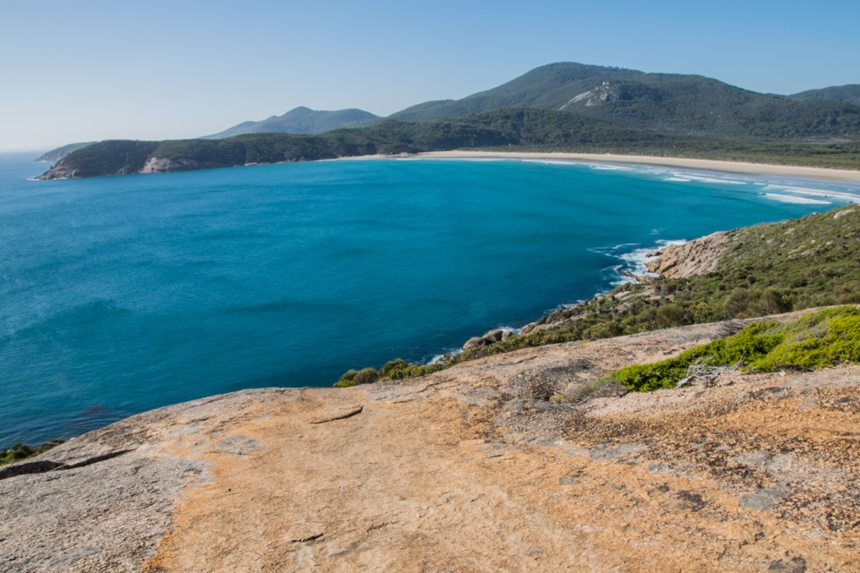 Beach · 3 km awayNorman BeachWalk a long, flat beach with Mount Oberon in view.
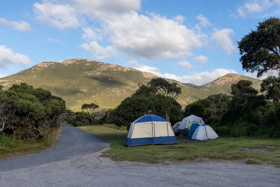 Campground · 3.1 km awayTidal River CampgroundA beach-and-river campground with the visitor hub on site.
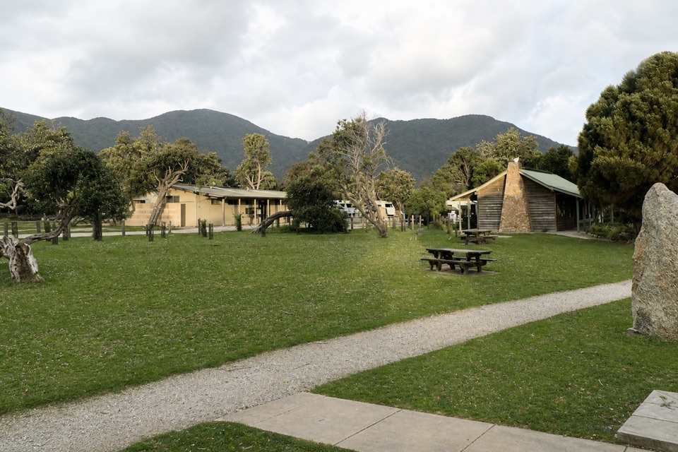 Lodging · 3.1 km awayTidal River AccommodationRoofed stays at the hub, with Norman Beach a short walk away.
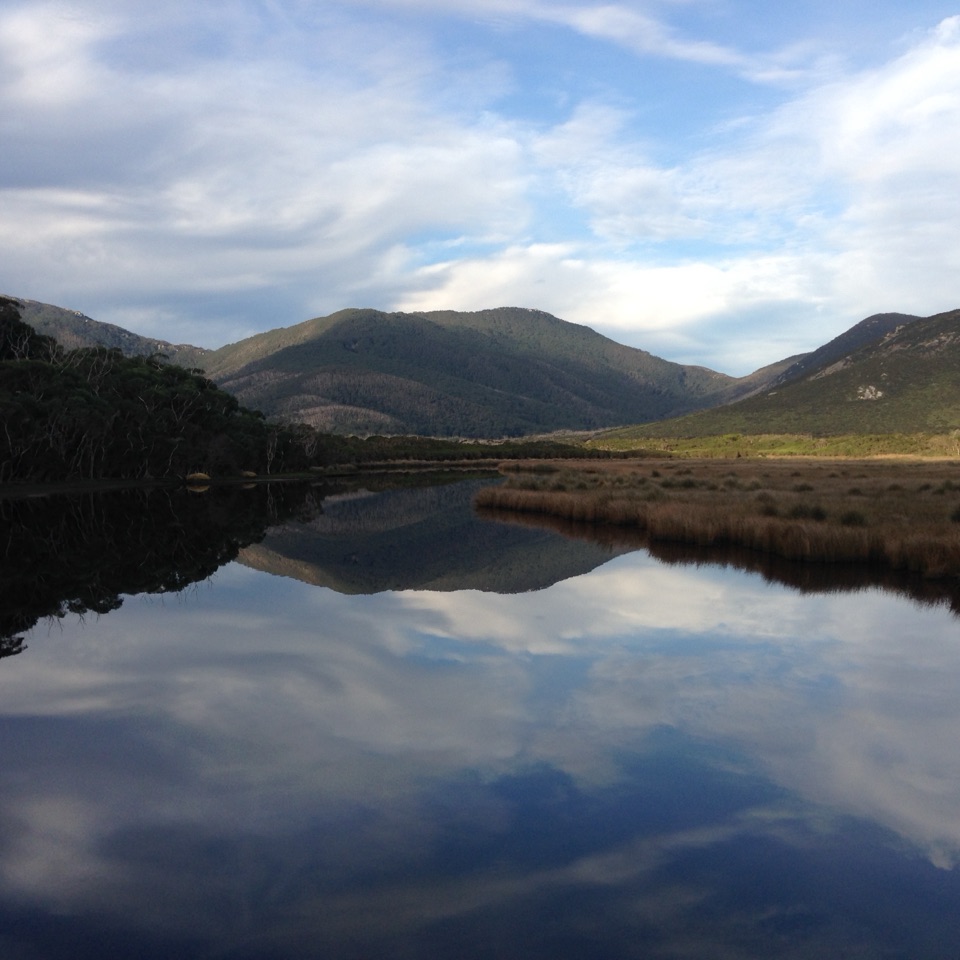 Sight · 3.5 km awayMount BishopA rocky summit, with Squeaky Beach and islands spread below.
Parkwolf’s Wilsons Promontory ranking

The audio tour guide for the drive, plus offline maps, trails, and wildlife heatmaps for when the signal drops.