Parking
Start and finish at Five Mile Road Car Park, reached by the Five Mile Road access. The route uses the road to reach the coast; parking capacity and facilities were not verified.
#9 of 36 trails in Wilsons Promontory
Wilsons Promontory National Park, VIC
A 60 km coastal loop for experienced wilderness navigators.
Overview
Map & elevation
Plan your hike

The highest, rockiest slopes around here are a summer buffet for grizzly bears.
Wilsons Promontory Tour Guide
Parkwolf is a GPS audio tour guide for Wilsons Promontory National Park. As you drive, it chimes in with what’s ahead: hidden gems, upcoming stops, history, geology, and wildlife, right through your car’s speakers.
Recorded for this trailhead
Five Mile Road and Millers Landing“You're approaching the turnoff for Five Mile Road; the walks start farther along at Five Mile Carpark.”
Plays as you drive up to this trailhead in the Parkwolf Wilsons Promontory Tour Guide.
More stories near here in the app
“Fantastic app with many points of information… It’s great to just turn on while you’re driving and it gives you an audio tour of the national Park. We love it!!!!”


Trail guide
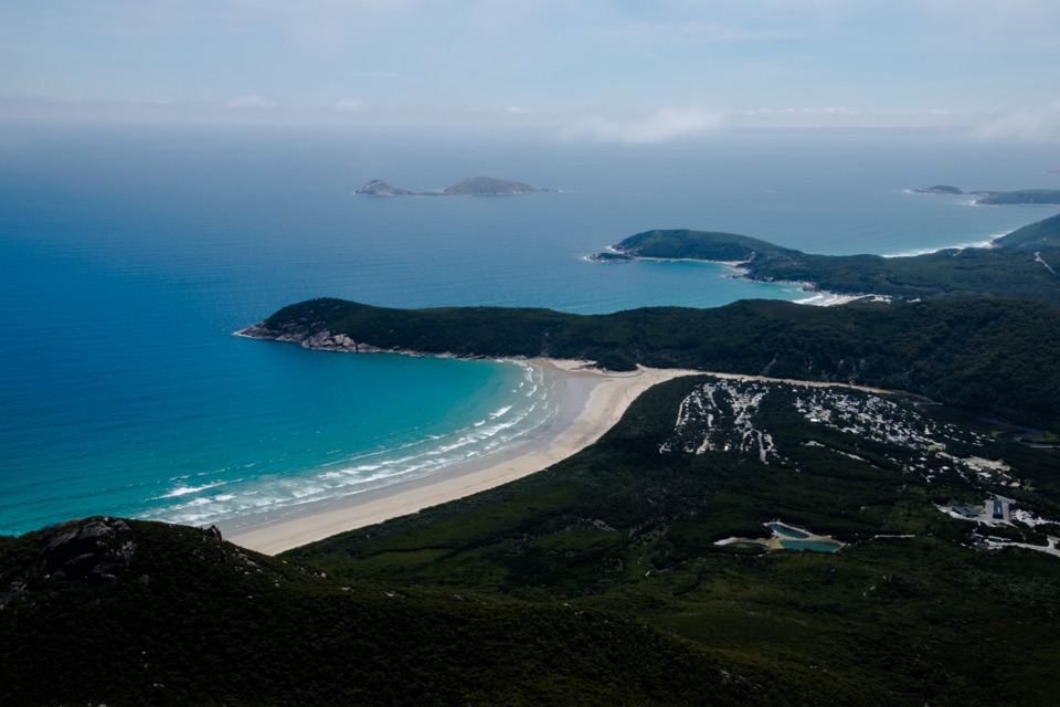
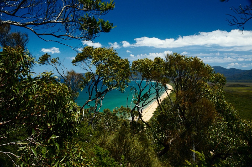
The Wilsons Promontory Northern Circuit is a roughly 60 km (37 mile) loop from Five Mile Road Car Park through the park’s remote north-east and back. Allow three to four days, carrying everything between small wilderness camps. You’ll visit Barry Creek, Five Mile Beach, Johnny Souey Cove, Tin Mine Cove and Lower Barry Creek; the route uses some of Five Mile Road again on the return. This is a Level 5 walk for fit, experienced hikers who can navigate with a map and compass when the footpad and markers disappear. If you want a signed coastal walk, choose another track. If you want long beaches, small coves and a proper navigation challenge, this is the Prom at its wildest.
The common four-day itinerary camps at Five Mile Beach, Tin Mine Cove and Lower Barry Creek, with Barry Creek and Johnny Souey Cove as intermediate camps or stops. Reserve the overnight sites and get the Parks Victoria permit before setting out; the Hiker Self Assessment Form is required first. A limit of two consecutive nights at each camp and six people per group applies. There are few easy ways to shorten the circuit once you leave Five Mile Road.
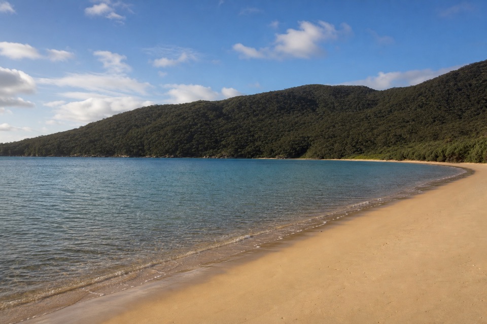
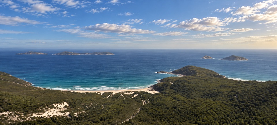
Your first 18 km is mostly management road east, passing Barry Creek before the last stretch of sand into Five Mile Beach. It’s an exposed, steady walk rather than a gentle warm-up; repeated rises open views back across Corner Inlet but offer little shade. The road is used by management vehicles, so expect a broad dirt road here rather than a foot trail. Five Mile Beach camp sits between the sand and tidal Miranda Creek. Check the tide before crossing the estuary, and don’t treat its water as a drinking source.
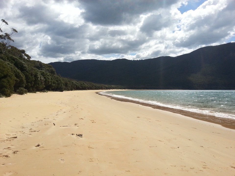
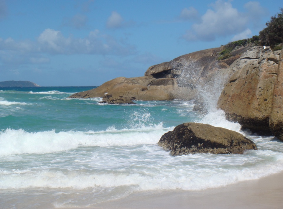
From Five Mile Beach the route heads north over scrubby headlands to Johnny Souey Cove, skirts Three Mile Point and follows the cross-Prom route toward Tin Mine Cove. Around Three Mile Point, stay on the clearer track just above the rocks; an old, fainter line climbs over the point and can disappear in scrub. Three Mile Beach is the best place to stop and look back: pale sand, green hills and grey standing trunks. A short length of old corduroy track, with logs still held by rusted cable, recalls an earlier vehicle route across the Prom.
From Tin Mine Cove, walk Chinamans Long Beach before the poorly marked inland section toward Lower Barry Creek. Chinamans Swamp has no boardwalk and its uneven ground can be wet or knee-deep. Dense tea-tree and button grass close over the old footpad in places, so the track can be hard to find again after a wrong turn.
This isn’t a walk to fit between fixed times. Northern tracks are graded Level 5; some have flagging only and others are undefined. Parks Victoria’s self-assessment warns that creek crossings on the Lower Barry Creek to Johnny Souey Cove route can reach 1.5 m. The northern wilderness also includes dense scrub, swamp and tidal crossings such as Miranda Creek. Navigation skill is a requirement, not an optional backup, and you should leave room for slow going and route-finding.
Northern camps have no toilets or other facilities. Creek water might be available but isn’t guaranteed, and anything you collect needs treatment. Carry enough between sources and pack out your waste. Dogs and other pets aren’t allowed in Wilsons Promontory National Park. This circuit rewards self-reliant hikers with remote beaches and a real sense of distance, but its difficulty comes from the route itself, not a big summit.
Wildlife
 18 sightingsWedge-tailed EagleMost seen around 11 AMSighting map
 29 sightingsKoalaMost seen around 6 PMSighting map
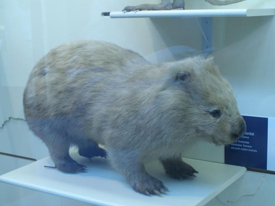 774 sightingsBare-nosed WombatMost seen around 6 PMSighting map
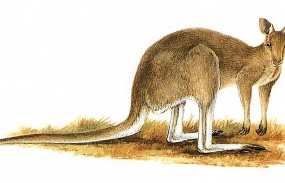 291 sightingsEastern Grey KangarooMost seen around 7 AMSighting map
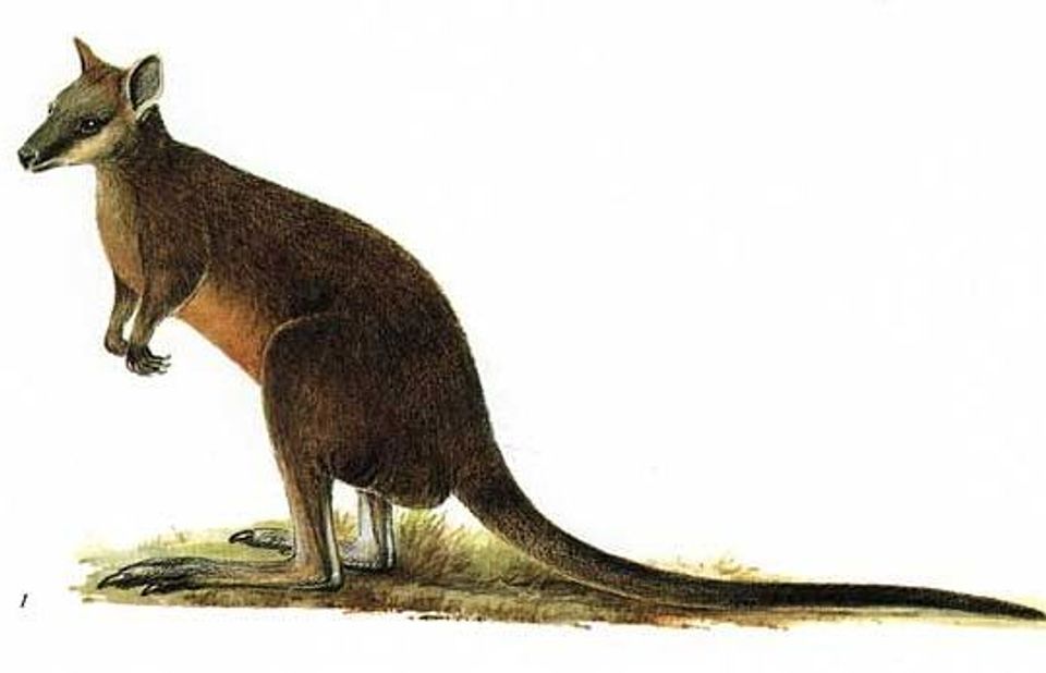 512 sightingsSwamp WallabyMost seen around 6 PMSighting map
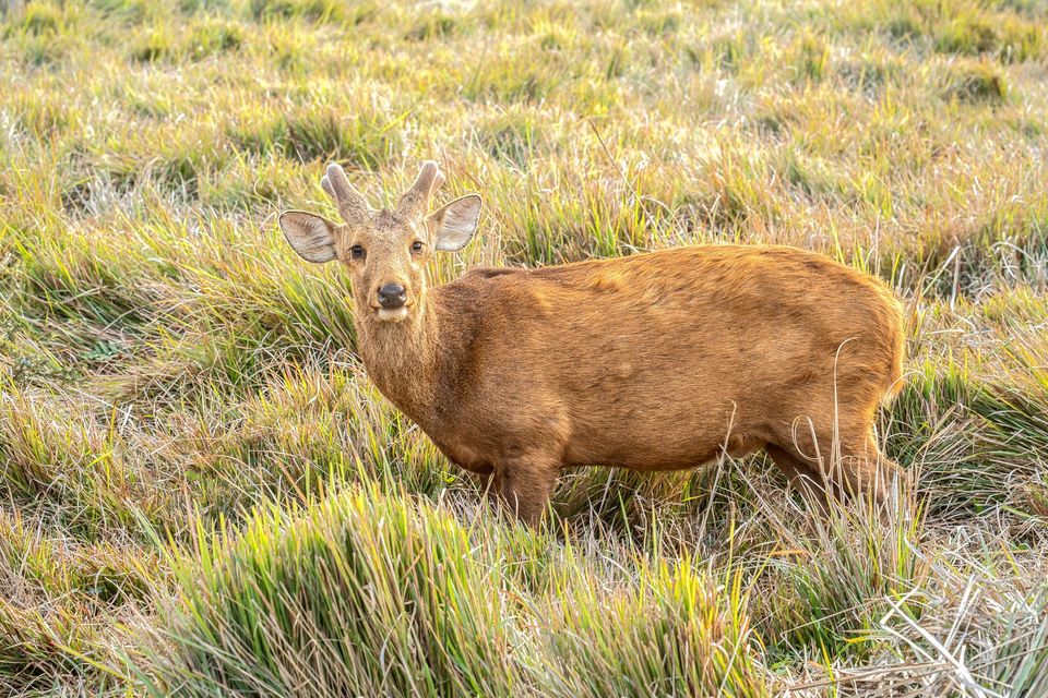 20 sightingsIndochinese Hog DeerMost seen around 7 AMSighting map
Sighting maps show where each species has been reported across Wilsons Promontory. Wildlife moves, so no sighting is guaranteed.
Keep exploring
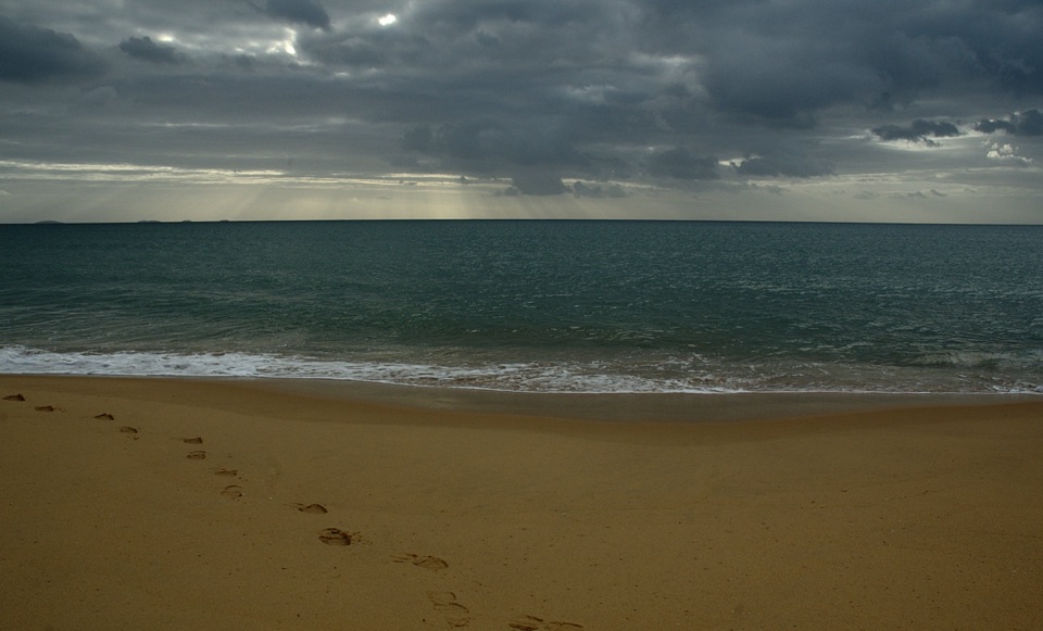 ChallengingFive Mile Beach Walk36.9 km · 12 hr · At the trailheadA long, exposed road march to a remote northern beach.
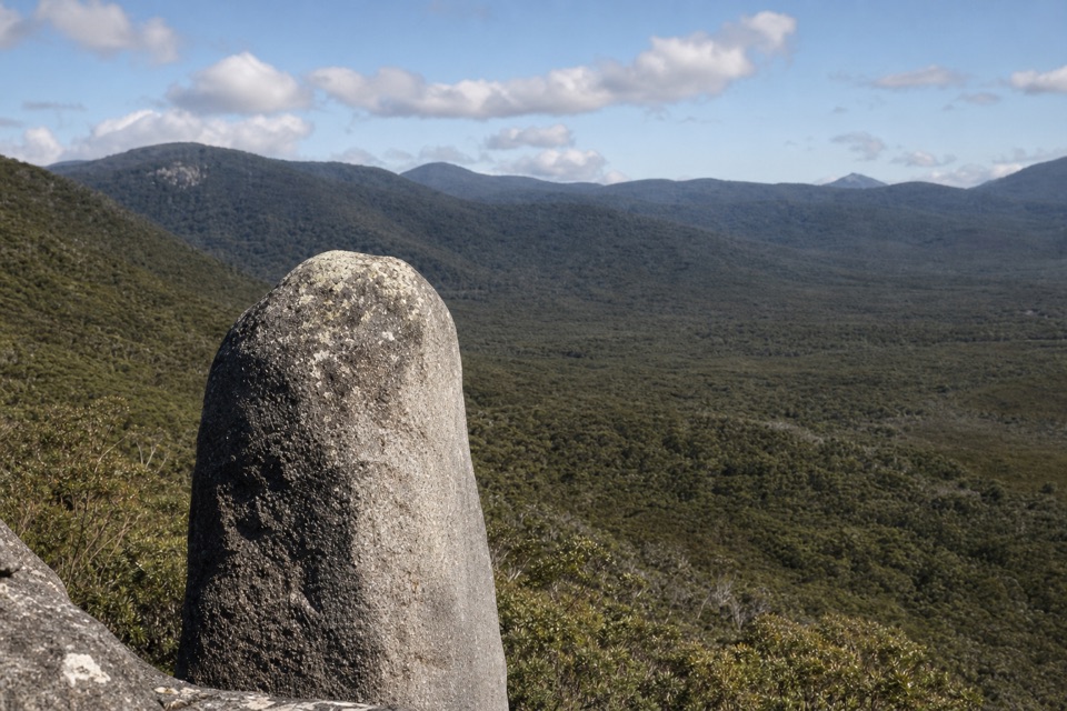 ModerateVereker Outlook Walk6 km · 2.3 hr · At the trailheadA steep climb to granite boulders and wide coastal views.
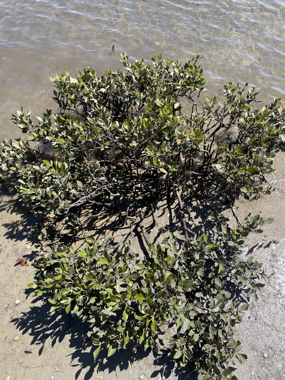 EasyMillers Landing Nature Walk4 km · 1.5 hr · At the trailheadA woodland stroll ends among the world’s southernmost mangroves.
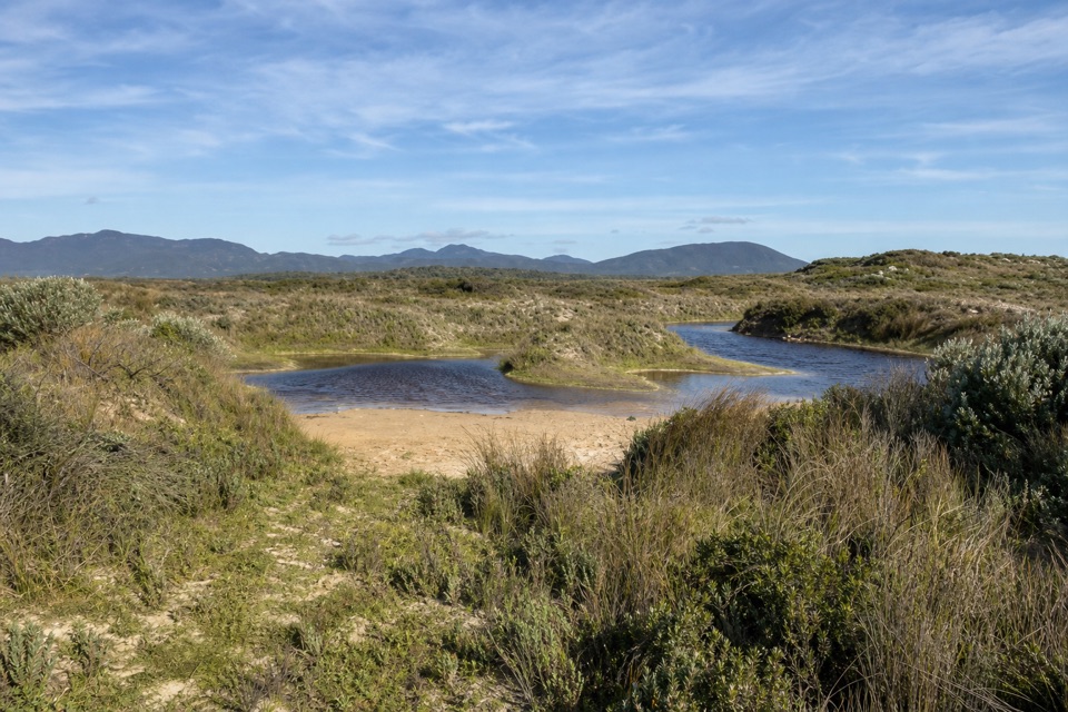 EasyCotters Lake and Beach Access Track2.4 km · 1 hr · 4.1 km awayCross the often-dry lake basin to a remote, windswept beach.
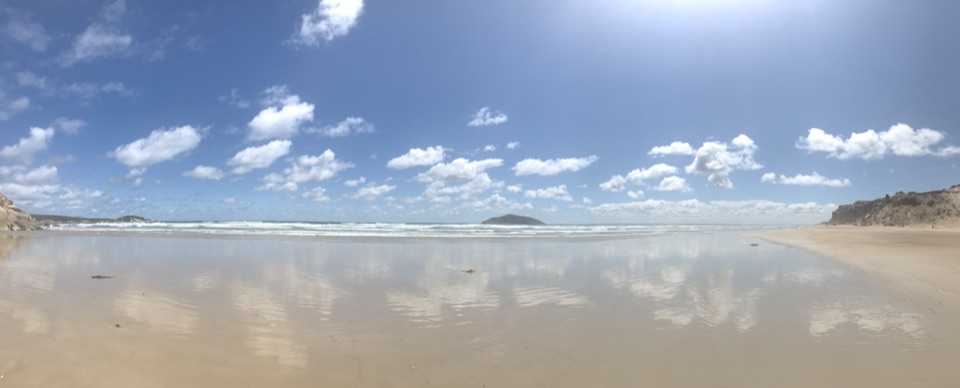 EasyDarby Beach Walk2.2 km · 40 min · 6.3 km awayA sandy river walk to a small beach between rocky headlands.
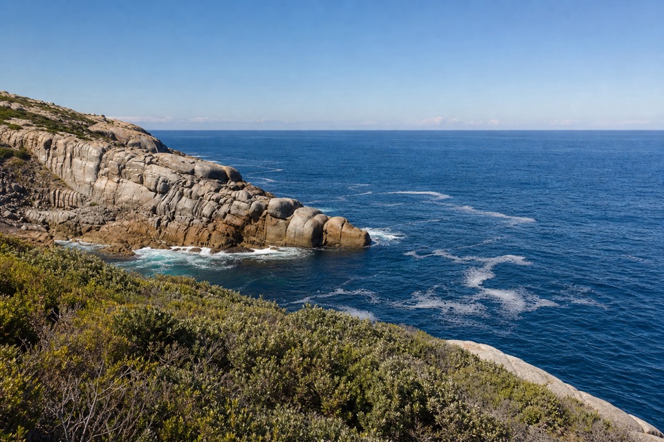 ModerateDarby River to Tongue Point Walk7.6 km · 4 hr · 6.4 km awayA granite headland hike with a Fairy Cove spur at low tide.
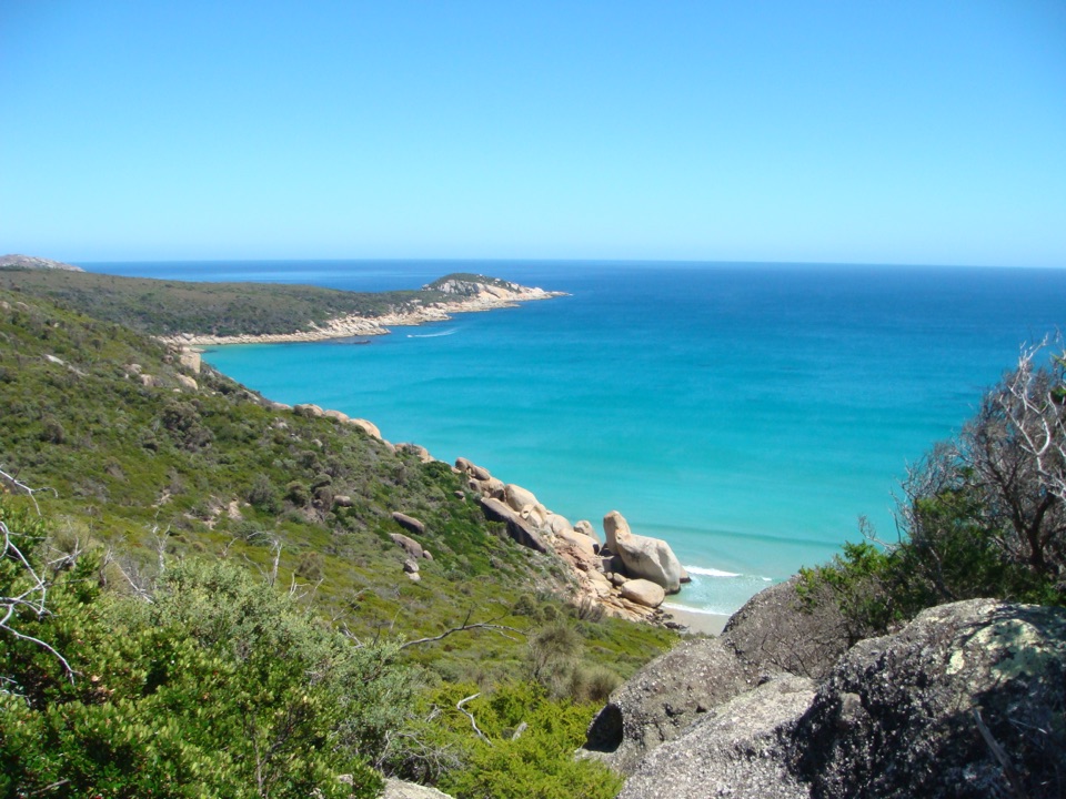 ChallengingDarby River to Darby Saddle via Tongue Point9.4 km · 4.5 hr · 6.4 km awayA coastal through-walk from Darby River to Darby Saddle.
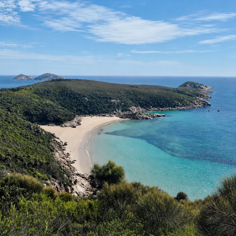 ModerateDarby River to Fairy Cove Walk5.6 km · 2 hr · 6.4 km awayA quiet cove worth timing your walk around low tide.
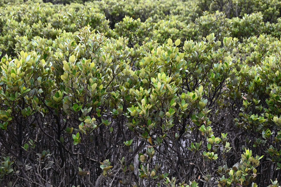 Sight · 1.9 km awayMillers LandingA 4 km woodland walk to the world's southernmost mangroves.
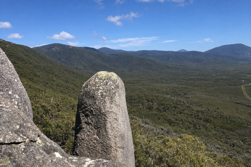 Sight · 2.3 km awayVereker OutlookBalanced boulders and big inlet views reward a steep walk.
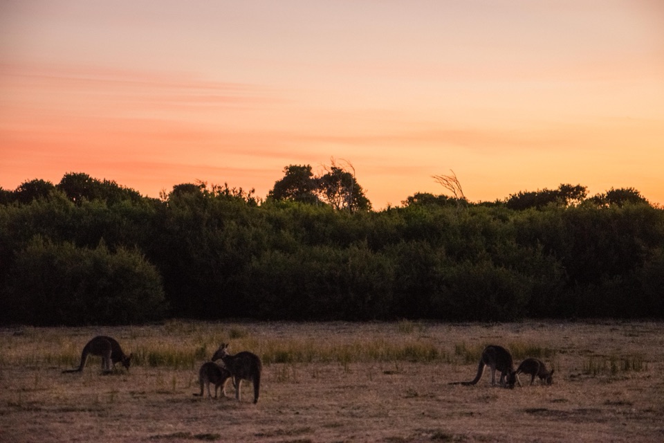 Sight · 4 km awayProm Wildlife Viewing AreaA roadside chance to spot kangaroos, wombats and emus.
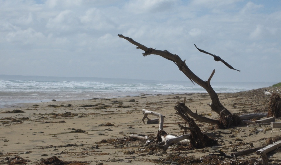 Beach · 5.2 km awayCotters BeachA dry lake basin walk opens onto an exposed west coast.
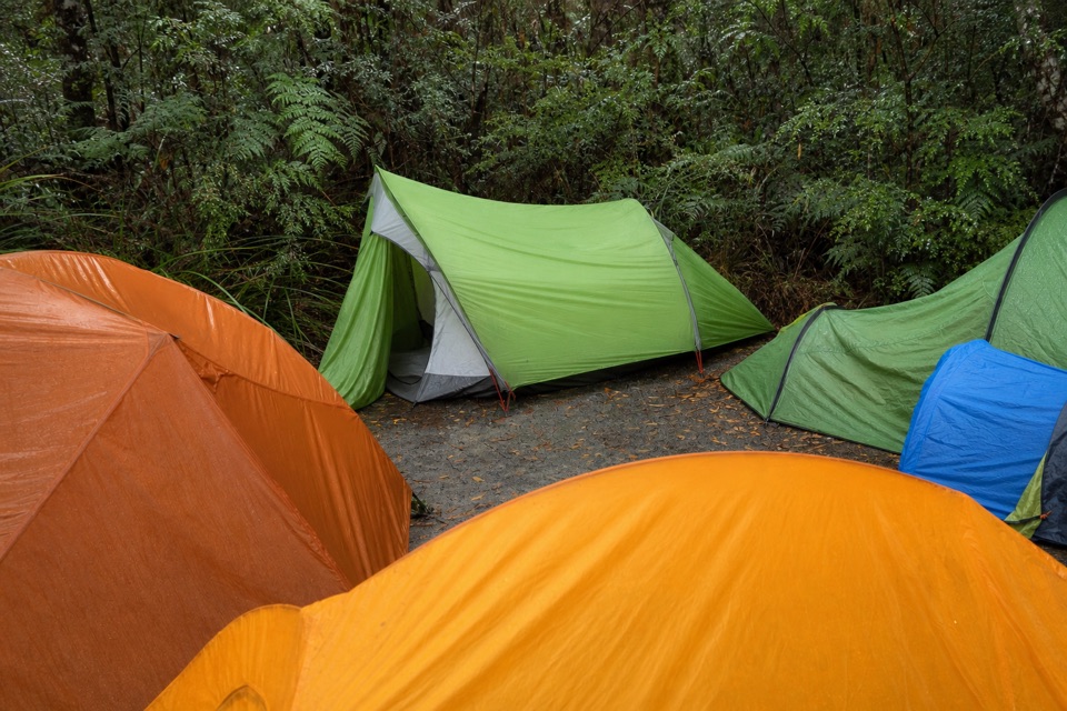 Campground · 5.5 km awayBarry Creek CampsiteA remote, permit-required camp for confident backcountry hikers.Beach · 6.4 km awayDarby BeachA short sandy walk opens onto a beach between rocky headlands.
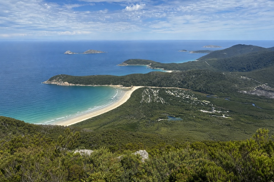 Campground · 7.3 km awayLower Barry Creek Camping AreaA no-frills overnight stop on a demanding northern wilderness circuit.
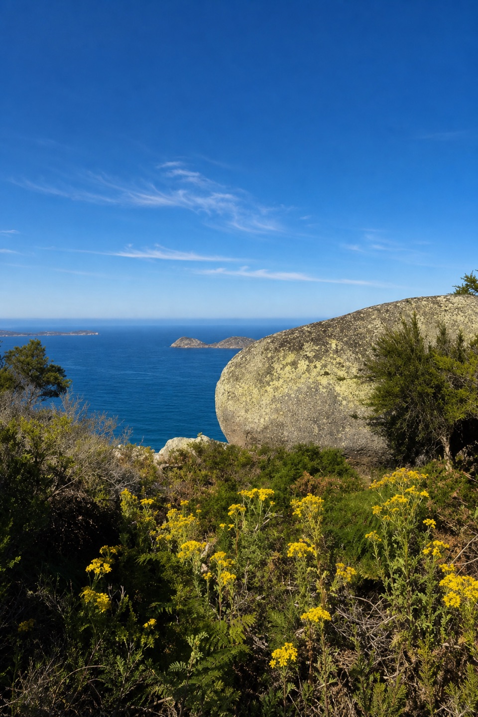 Sight · 8.1 km awayLookout RocksThe steep climb pays off with Norman Island and Tongue Point below.
Parkwolf’s Wilsons Promontory ranking

The audio tour guide for the drive, plus offline maps, trails, and wildlife heatmaps for when the signal drops.