Mount Oberon Summit Walk in Wilsons Promontory National Park

#1 of 36 trails in Wilsons Promontory

Wilsons Promontory National Park, VIC

Mount Oberon Summit Walk

A steady gravel climb to granite with bays and Tidal River below.

Photo: Wikimedia Commons
Length
6.8km
Time
2.5hr
Elev. change
307m
Difficulty
Moderate
  • No dogs
  • High point 510 m

Hear the audio tour

Mount Oberon from Telegraph Saddle

Overview

About Mount Oberon Summit Walk

Why go

  • A full coastal panorama from the park’s signature summit
  • Wide, straightforward track for most of the climb

Heads up

  • Sustained uphill effort with steep final steps
  • Exposed summit boulders can be slippery when wet

Map & elevation

The route

Loading the Wilsons Promontory map
Full map
Elevation203–510 m
TrailheadTelegraph Saddle Carpark-39.03279, 146.35528
Keep this map with you offline in the Parkwolf app

Plan your hike

Before you go

Parking

Start at Telegraph Saddle Carpark. It is a small carpark; during summer school holidays, Easter, and weekends from November through April, private vehicles cannot access it while the shuttle operates from Tidal River. Mount Oberon Road is closed during bus times.

Safety

Steep summit steps lead to granite boulders that may be slippery when wet. The summit has unprotected cliffs and can be windy, cool, or cloudy even in summer. Bring a torch for a late return. Dogs and other pets are prohibited in Wilsons Promontory National Park.

2 active Wilsons Promontory alerts

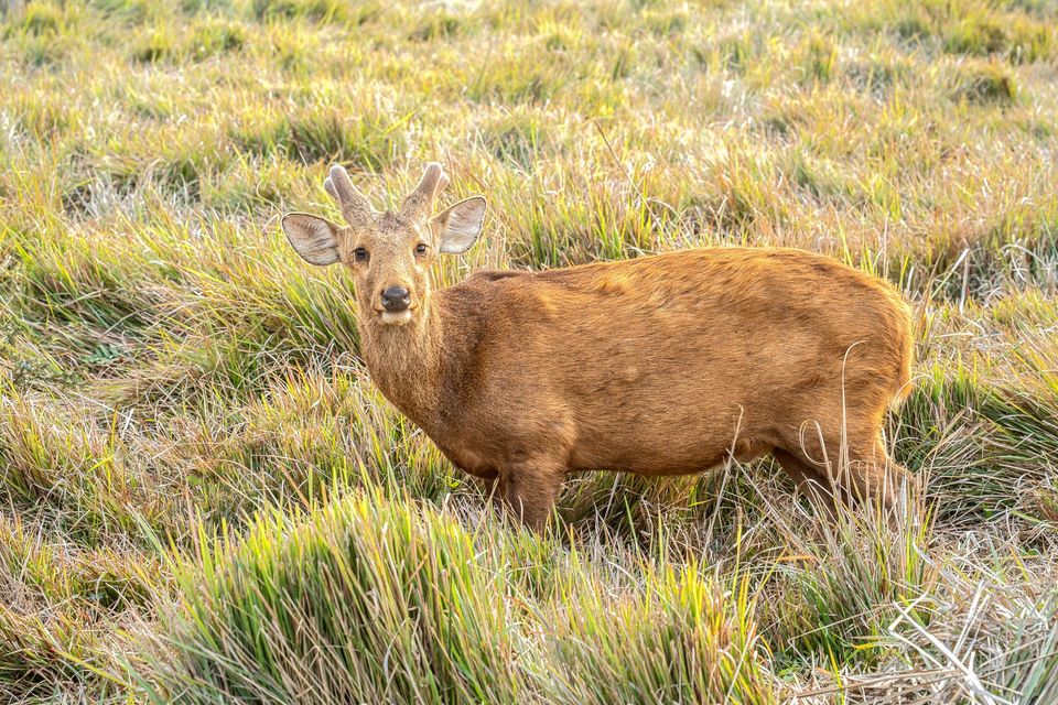
  • ClosureSouthern area closures and October deer-control restrictionsDo not enter the listed southern visitor areas during their closures, and plan around the October aerial deer-control operation.Official details
  • InfoEntrance traffic management and delaysAllow extra travel time and follow traffic controls at the Wilsons Promontory National Park entrance.Official details
Wilsons Promontory alerts
A park ranger sits on a dash-mounted phone, talking, as Parkwolf’s Tour Guide plays “Army Cutworm Moths: A Grizzly Bear Buffet” on Grand Loop Road below Dunraven Pass in Yellowstone
Parkwolf Tour GuideThe highest, rockiest slopes around here are a summer buffet for grizzly bears.

Wilsons Promontory Tour Guide

Your drive to Mount Oberon Summit Walk, narrated.

Parkwolf is a GPS audio tour guide for Wilsons Promontory National Park. As you drive, it chimes in with what’s ahead: hidden gems, upcoming stops, history, geology, and wildlife, right through your car’s speakers.

Recorded for this trailhead

Mount Oberon from Telegraph Saddle
0:00 / 0:28
“You're approaching the Telegraph Saddle start of the Mount Oberon walk.”

Plays as you drive up to this trailhead in the Parkwolf Wilsons Promontory Tour Guide.

More stories near here in the app

  • Sealers Cove from Telegraph Saddle
  • The Walk to Wilsons Promontory Lightstation
  • Norman Beach and Tidal River
  • Tidal River Visitor Hub
  • 22 audio storiesacross Wilsons Promontory’s roads, triggered by GPS as you drive
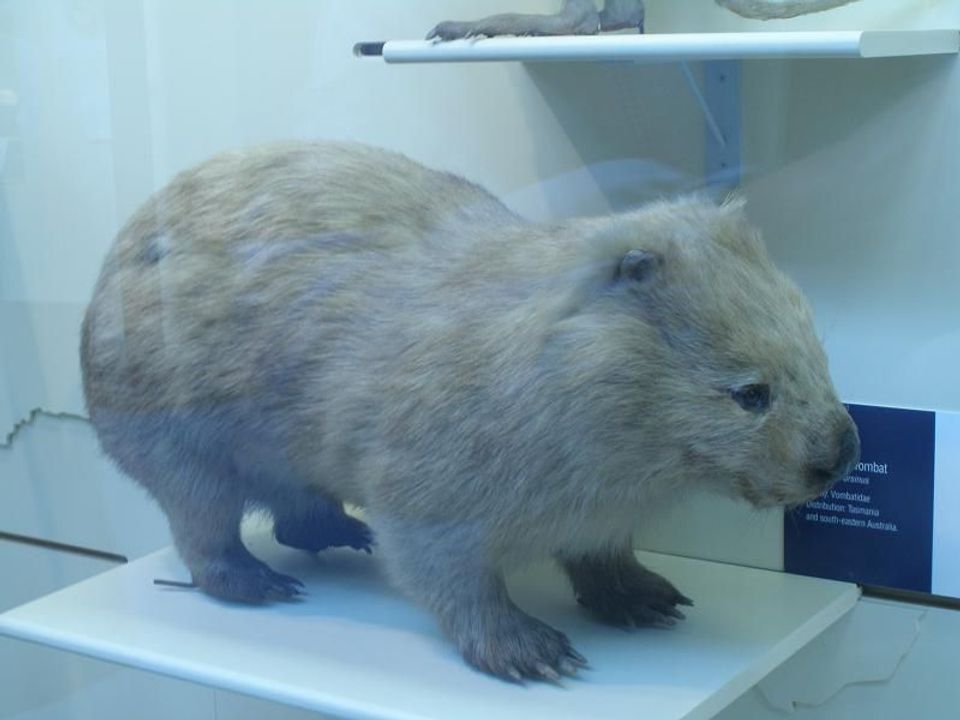
  • Wildlife heatmapsfor Wedge-tailed Eagle, Koala, Bare-nosed Wombat, and 13 more
  • Works offlinemaps, 36 trails, 46 places, and audio download before you lose signal
  • CarPlay readysimple controls built for the drive
★★★★★
“Fantastic app with many points of information… It’s great to just turn on while you’re driving and it gives you an audio tour of the national Park. We love it!!!!”
JMJamesApp Store review
Download Parkwolf on the App StoreGet Parkwolf on Google Play

4.7 from 8,600+ ratings

Trail guide

Hiking Mount Oberon Summit Walk

The climb for the big viewMount Oberon Summit Walk is a 6.8 km (4.

Mount Oberon Summit Walk is a 6.8 km (4.2 mile) out-and-back from Telegraph Saddle Carpark to a rocky summit above Wilsons Promontory. It is the park’s headline uphill walk: most of the distance is a steady climb, then a final flight of steep steps leads to granite boulders and a 360-degree view. Parks Victoria estimates two hours return; allow two to three if you want time at the top. Choose it for the panorama and a satisfying climb, not for a gentle stroll or a string of viewpoints along the way.

A long, steady way upFrom the carpark, the route follows the management vehicle track up Mount Oberon.

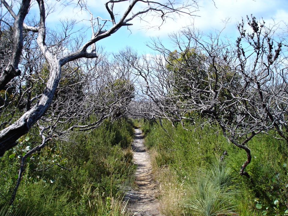
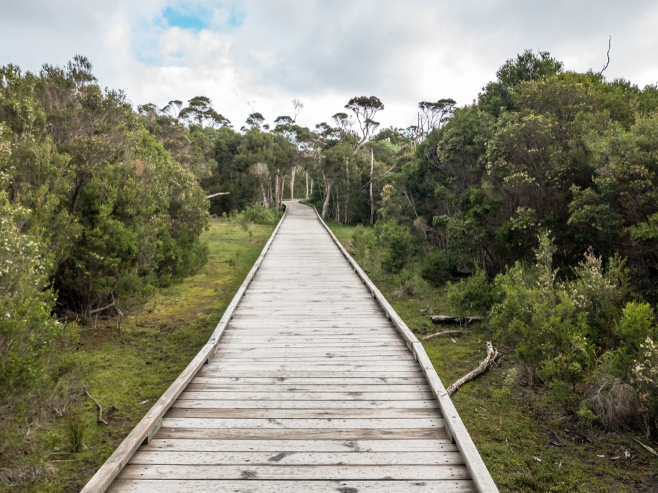
From the carpark, the route follows the management vehicle track up Mount Oberon. The incline builds gradually and continues for most of the walk. The track is broad, with compacted gravel underfoot and timber benches at intervals; it is straightforward to follow, but there is little relief from the uphill effort. The final section changes character. Steps climb more steeply toward the summit, then the path gives way to granite boulders. Take care on the rock, which can be slippery when wet, and move slowly rather than trying to hurry onto the top.

There is no loop or separate descent route to choose: return the same way to Telegraph Saddle. That makes the distance easy to understand, but the climb you have just done becomes the descent, with the steep steps first and a long walk back down the track after them. The summit is the reward, so save some energy for looking around rather than turning straight back.

Give the summit a proper stopAt 558 metres, Mount Oberon opens onto the western coast, offshore islands and the forested…

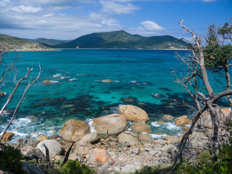
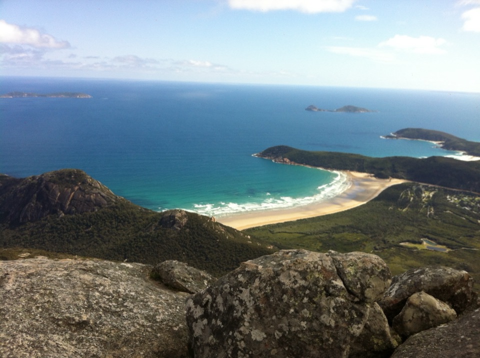
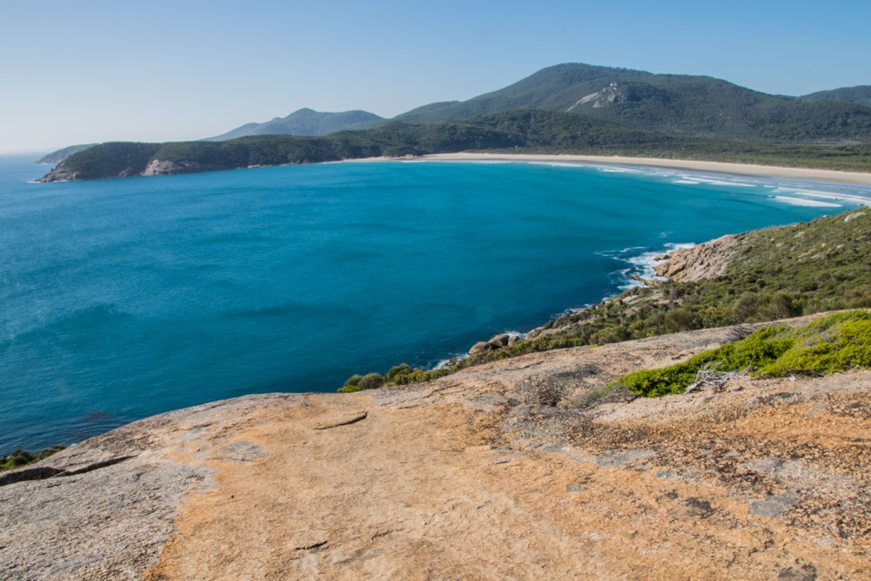
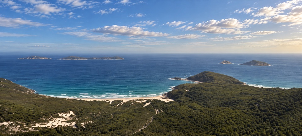
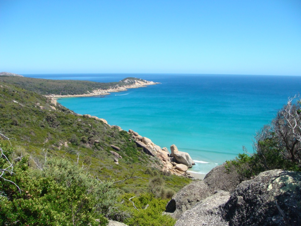
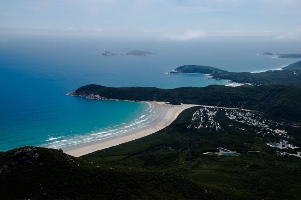
At 558 metres, Mount Oberon opens onto the western coast, offshore islands and the forested peaks inland. Below, Tidal River winds through coastal heath toward Norman Beach. Look along the shore for Little Oberon, Norman, Leonard, Picnic and Whisky bays, then turn inland to pick out the rounded mountain ridges. The granite dome is part of the experience: for a photo, keep some of the rock in the foreground with the coast and islands beyond it. The summit has unprotected cliffs, so stay well back from the edges.

This is also a sunset lookout, but the summit can be windy, cool or clouded even in summer. If you go late for the light, bring a torch for the return and leave enough time to get down the steps before dark. Cloud can hide the panorama, so the walk still delivers a solid uphill outing even when the long view is missing, but the summit is the reason to make the climb.

Getting there and a shorter optionStart at Telegraph Saddle Carpark.

Start at Telegraph Saddle Carpark. During summer school holidays, Easter, and weekends from November through April, private vehicles cannot use the carpark while the shuttle operates from Tidal River; Mount Oberon Road is closed during bus times. Check the timetable at the departure points. Tidal River has toilets before you set out, while no facilities are identified on the route. Dogs and other pets are not allowed in the park.

If you want a shorter coastal walk, Pillar Point is about 3.6 km return from the Tidal River footbridge and takes around an hour and a half. It gives a lower-level granite lookout over the beaches and islands without the sustained Mount Oberon climb; it is a different walk, not a short cut to this summit.

Wildlife

Wildlife in Wilsons Promontory

All Wilsons Promontory wildlife maps

Sighting maps show where each species has been reported across Wilsons Promontory. Wildlife moves, so no sighting is guaranteed.

Keep exploring

Near Mount Oberon Summit Walk

See it all on the map

Trails that start nearby

Places near the trailhead

Parkwolf’s Wilsons Promontory ranking

Top-rated trails in Wilsons Promontory

All 36 trails
  1. 2Southern Prom CircuitChallenging · 35.5 km
  2. 3Squeaky Beach WalkModerate · 4.2 km
  3. 4Sealers Cove WalkChallenging · 20 km
  4. 5Three Bays WalkModerate · 12.4 km
  5. 6Mount Bishop Summit WalkModerate · 7.4 km
  6. 7Tongue Point from Darby SaddleModerate · 11.2 km

Take Parkwolf to Wilsons Promontory.

The audio tour guide for the drive, plus offline maps, trails, and wildlife heatmaps for when the signal drops.

4.7 from 8,600+ ratings

Download Parkwolf on the App StoreGet Parkwolf on Google Play